Drone Industrial and Commercial Inspection
Drone Industrial and Commercial Gallery


About Drone Industrial and Commercial Service
Drones can be outfitted with sensors capable of detecting and measuring the concentration of various gases and particulate matter in the atmosphere, including Methane (CH4), Sulfur Dioxide (SO2), Hydrogen Sulfide (H2S), Particulate Matter (PM), Ozone (O3), Nitrogen Dioxide (NO2), Volatile Organic Compounds (VOCs), Ammonia (NH3), Hydrogen (H2), and Carbon Monoxide (CO). This service is essential for industries such as oil and gas, chemical manufacturing, waste management, and urban air quality monitoring.
Our Industrial Drone Services are designed to provide advanced Environmental Monitoring Drones that enhance operational efficiency and safety. With our Gas Detection Drones, we can quickly cover large areas or access hard-to-reach locations, providing Real-Time Environmental Data on harmful gases and pollutants.
These capabilities are crucial for detecting leaks, assessing emission levels, and ensuring compliance with environmental regulations. In emergency response scenarios, our drones play a significant role in identifying hazardous gas concentrations, guiding evacuation and response strategies to protect public health and safety.
Furthermore, regular Air Quality Monitoring using our drones can help industries and municipalities track pollution sources, assess the effectiveness of Emissions Control Measures, and develop strategies for improving air quality. This proactive approach to environmental management supports public health initiatives, worker safety, and compliance with increasingly stringent environmental standards.
At AAI-Drones, we pride ourselves on our team of experts who are skilled in using Drone Sensors for Industry applications. Trust us to elevate your industrial operations with our cutting-edge drone technology and expert services.
What We Do?
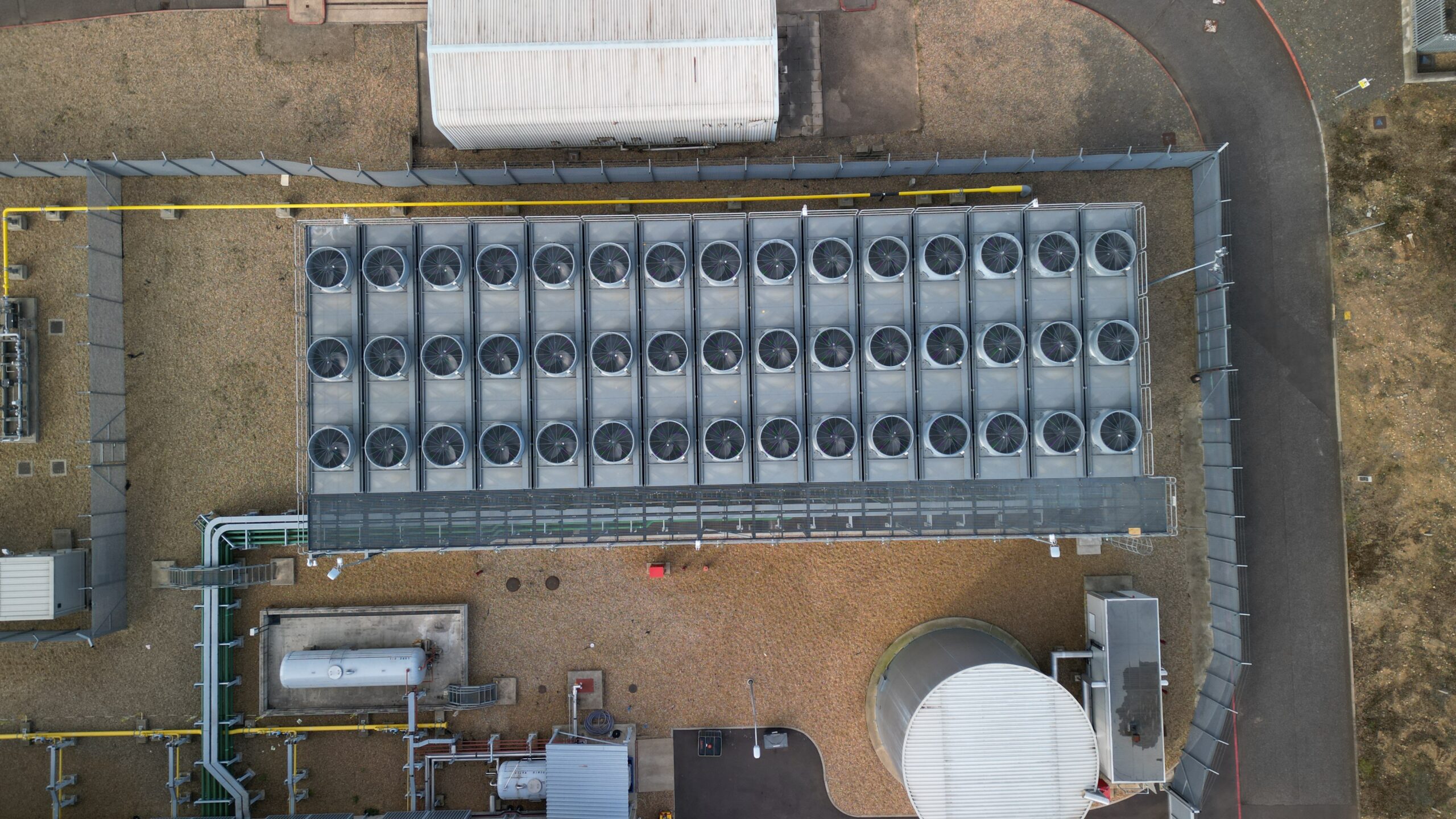
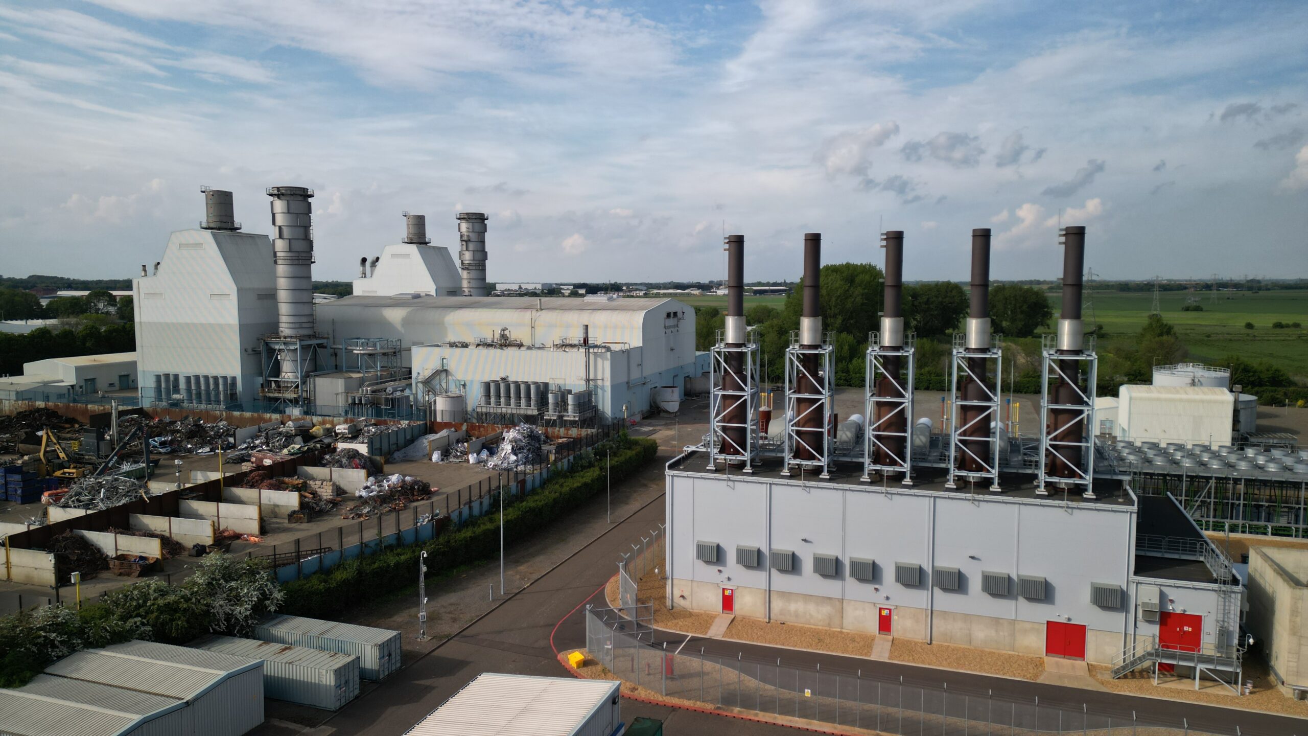
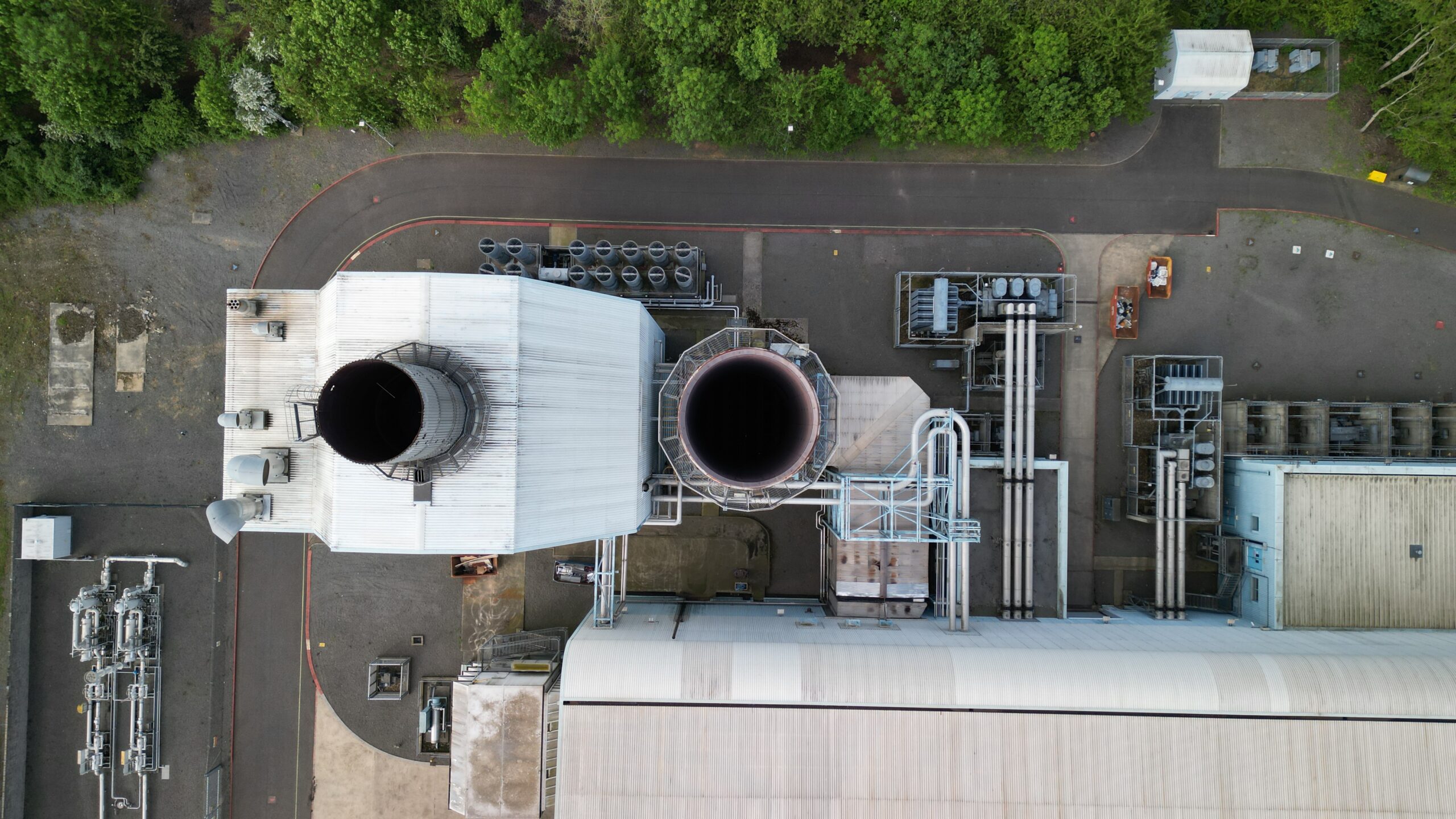
Asset Inspection
Drones can inspect critical infrastructure and assets such as pipelines, power lines, and telecom towers. They provide a safe and efficient way to monitor conditions and identify maintenance needs without exposing workers to hazardous conditions.
Inventory Management
In large industrial areas like warehouses or outdoor storage facilities, drones can streamline inventory checks, tracking stock levels and locations. This can significantly reduce the time and labor involved in manual inventory management.
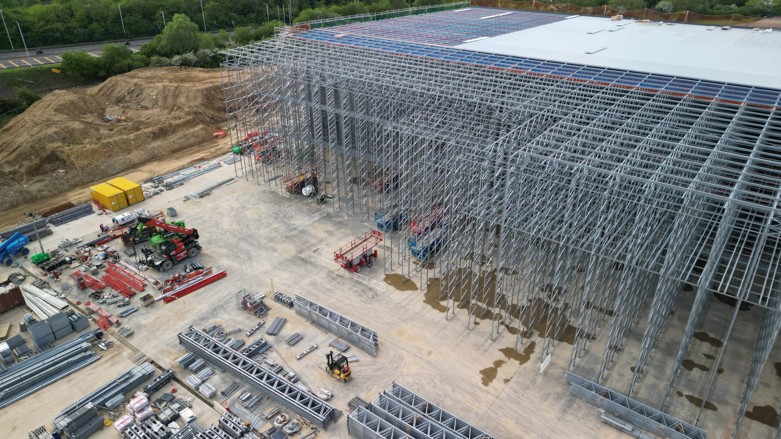
Construction Site Monitoring
Drones offer real-time monitoring of construction sites, allowing project managers to oversee progress, manage resources, ensure compliance with safety standards, and keep projects on schedule. They can also create time-lapse videos for project documentation and stakeholder updates.
Agricultural Surveying and Management
In the agricultural sector, drones can map farmland, monitor crop health, assess irrigation needs, and even assist in precision farming practices by targeting areas that need pest control or fertilization, optimizing resource use and improving yields.
Surveying and Mapping
For commercial real estate and land development, drones offer quick and accurate surveying and mapping services. They can produce detailed topographical maps, conduct site surveys for pre-construction, and help in land use planning with a high degree of precision.
Environmental Monitoring and Compliance
Drones can be used to monitor environmental parameters and ensure compliance with environmental regulations. They can assess pollution levels, track wildlife populations, or survey land for conservation efforts, providing valuable data with minimal environmental impact.
Emergency Response and Disaster Management
Drones play a critical role in emergency response and disaster management by providing aerial views of affected areas, assessing damage, locating survivors, and delivering emergency supplies. Their ability to quickly gather data is invaluable in coordinating response efforts and mitigating further risks.
Security Surveillance
For commercial properties and industrial facilities, drones can augment security surveillance systems by patrolling perimeters, monitoring for unauthorized access, and investigating alarms or incidents. They offer a mobile viewpoint that can cover large areas more efficiently than static cameras or patrols on foot.
Thermal Imaging for Evaluating Thermal Losses and Related CO2 Emissions
Drones equipped with thermal imaging cameras are an effective tool for identifying thermal inefficiencies in buildings and industrial processes. This service can detect areas of excessive heat loss or gain, poorly insulated sections, and equipment operating outside optimal temperature ranges. By pinpointing these inefficiencies, businesses can undertake targeted improvements to enhance energy efficiency, reduce heating and cooling costs, and lower their carbon footprint.
The analysis of thermal images can also help in quantifying potential CO2 emissions reductions resulting from mitigating these thermal losses. This service not only supports energy conservation initiatives but also contributes to an organization’s sustainability goals by reducing its overall environmental impact.
Detection of Corrosion Under Insulation (CUI)
Drones equipped with thermal imaging and multispectral cameras offer a specialized service for identifying Corrosion Under Insulation (CUI) in pipelines, storage tanks, and other industrial equipment. CUI is a significant issue for the integrity of industrial assets, often going undetected until it causes substantial damage or failures because it occurs beneath the insulation material.
Thermal imaging can reveal temperature variations that indicate moisture accumulation or heat loss patterns consistent with underlying corrosion. Meanwhile, multispectral imaging can provide data on the condition of the material surfaces under various wavelengths of light, offering clues about the state of the metal beneath the insulation without the need for direct contact or removal of the insulation.
This non-invasive method of inspection allows for the early detection of CUI, enabling timely maintenance and repairs that can prevent more severe damage, extend the lifespan of industrial assets, reduce downtime, and minimize safety risks. By employing drones for this purpose, companies can efficiently inspect large areas or hard-to-reach structures, significantly improving the effectiveness of their maintenance programs and safeguarding their operations against the impacts of corrosion.
Paint Inspection and Coating Analysis
Drones equipped with high-resolution cameras and specialized sensors can perform detailed inspections of paint and coatings on commercial and industrial structures, such as buildings, bridges, vessels, and tanks. This service is crucial for assessing the condition of protective coatings that play a vital role in preventing corrosion and material degradation.
Through close-up imagery and advanced imaging techniques, drones can identify areas where paint is peeling, blistering, or cracking, as well as detect signs of rust and corrosion beneath the surface. These inspections can be conducted over large areas and at heights or locations that would be challenging and hazardous to reach with traditional methods.
By identifying areas where the integrity of paint and coatings is compromised, maintenance can be targeted more effectively, preventing further damage and extending the lifespan of the asset. Regular paint inspections and coating analysis with drones contribute to maintaining structural integrity, ensuring compliance with safety standards, and reducing long-term maintenance costs. This proactive approach to maintenance helps organizations manage their assets more efficiently and sustainably.
Gas Detection and Air Quality Monitoring
Drones can be outfitted with sensors capable of detecting and measuring the concentration of various gases and particulate matter in the atmosphere, including Methane (CH4), Sulfur Dioxide (SO2), Hydrogen Sulfide (H2S), Particulate Matter (PM), Ozone (O3), Nitrogen Dioxide (NO2), Volatile Organic Compounds (VOCs), Ammonia (NH3), Hydrogen (H2), and Carbon Monoxide (CO). This service is essential for industries such as oil and gas, chemical manufacturing, waste management, and urban air quality monitoring.
Drones equipped with these sensors can quickly cover large areas or access hard-to-reach locations, providing real-time data on the presence of harmful gases and pollutants. This capability is crucial for detecting leaks, assessing emission levels, and ensuring compliance with environmental regulations. It also plays a significant role in emergency response scenarios, where identifying hazardous gas concentrations can guide evacuation and response strategies to protect public health and safety.
Furthermore, regular air quality monitoring using drones can help industries and municipalities track pollution sources, assess the effectiveness of emissions control measures, and develop strategies for improving air quality. This proactive approach to environmental management supports public health initiatives, worker safety, and compliance with increasingly stringent environmental standards.
Why us?
- Operational Efficiency: Our aerial solutions offer a bird's eye view for monitoring, mapping, and managing commercial and industrial facilities, ensuring operations run smoothly and efficiently.
- Customized Service Plans: Understanding the diversity of commercial and industrial environments, we tailor our services to meet your specific operational requirements, ensuring maximum impact and value.
- Safety and Compliance: Prioritize the safety of your operations with our certified drone services. Holding GVC and A2 C of C certifications, we adhere to the highest standards of safety and regulatory compliance.
- Competitive Advantage: Leverage the strategic benefits of aerial insights to maintain a competitive edge. Our drone services not only optimize your operations but also enhance security and maintenance protocols.
- Advanced Payload Capabilities:
- Zenmuse H20T: Integrates a high-resolution zoom camera, a wide-angle camera, a radiometric thermal camera, and a laser rangefinder into a single payload for diverse operational needs. It excels in various conditions, providing detailed imagery and precise measurements.
- Zenmuse P1: Features a full-frame sensor with interchangeable fixed-focus lenses on a 3-axis stabilized gimbal, optimizing photogrammetry flight missions with unmatched efficiency and accuracy.
- Zenmuse L2: Combines frame LiDAR, a self-developed high-accuracy IMU system, and a 4/3 CMOS RGB mapping camera, enhancing DJI flight platforms with superior geospatial data acquisition.
What You Get
- Aerial Surveillance and Monitoring: Keep a vigilant eye over your facilities with continuous aerial surveillance, identifying potential issues before they escalate.
- Site Mapping and Surveying: Achieve detailed site maps and surveys with precision, aiding in planning, development, and resource management.
- Asset Inspection and Maintenance: Conduct thorough inspections of hard-to-reach areas without the need for costly and dangerous manual labor, ensuring the integrity and longevity of your assets.
- Customized Reporting and Analysis: Benefit from our detailed reporting, which translates aerial data into actionable insights, empowering your decision-making process.
Service Details
- Duration: ~2-8 hours
- Location: UK, Scotland, Ireland
- Drone: Mini3Pro, Mavic3Pro, FPV, Matrice350RTK
- Pilots: Certified (GVC, A2ofC)
- Insurance: We have drone insurance that complies with EC785/2004
- Media: 4k-5k Raw or Edited Photo & Video
- Produce: Thermal IR, Heat Loss Map, Water Ingress, 3D Modelling
