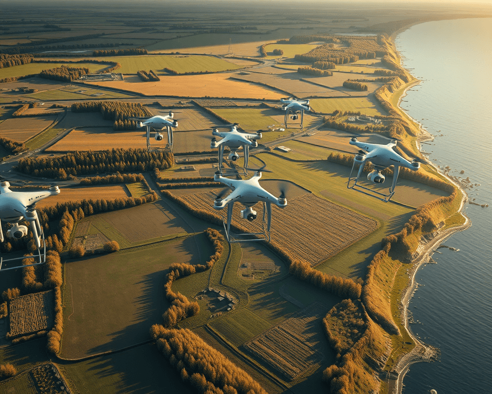
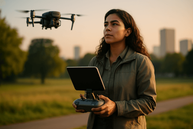
Drones have transformed surveying in the UK, offering faster, safer, and more accurate data collection compared to traditional methods. From construction and agriculture to environmental monitoring and urban planning, drones are providing valuable insights and streamlining processes. This article explores the benefits, applications, regulations, and best drone models for surveying in the UK.
Why Drones are Taking Over UK Surveying
Drones, also known as Unmanned Aerial Vehicles (UAVs), are equipped with advanced sensors, high-resolution cameras, and GPS technology, enabling them to capture detailed aerial imagery and geospatial data. This technology offers several advantages:
- Increased Efficiency and Speed: Drones can cover large areas in a fraction of the time compared to traditional surveying methods, speeding up project planning and decision-making. (Survey Operations, 2025)
- Cost-Effectiveness: By reducing the need for multiple personnel, extensive equipment, and long hours in the field, drones significantly lower surveying costs. (Survey Operations, 2025)
- Improved Safety: Drones can access hard-to-reach or hazardous areas without putting surveyors at risk, making surveying safer and more comprehensive. (Survey Operations, 2025)
- Enhanced Accuracy and Data Precision: Equipped with advanced GPS systems, LiDAR (Light Detection and Ranging) sensors, and high-resolution cameras, drones collect incredibly accurate data, including detailed 3D maps, topographic surveys, and geospatial data. (Survey Operations, 2025)
- Easy Access: Drones can access hard-to-reach locations with minimal downtime and disruption, capturing data for towers, masts, roofs, and wind turbines with ease. (Lucion Group, 2022)
- Real-time Monitoring: Drones facilitate real-time monitoring of projects, allowing for immediate adjustments and informed decision-making. (ProHort Ltd)
Applications of Drone Surveying in the UK
Drone surveys have diverse applications across various industries in the UK:
- Construction: Monitoring construction progress, inspecting infrastructure, and calculating stockpile volumes. (Autodesk)
- Land Management: Monitoring and managing land resources effectively. (Red Laser Scanning)
- Boundary and Construction Surveys: Precisely mapping property lines and construction sites. (Red Laser Scanning)
- Aerial Mapping: Creating detailed maps for various purposes, including agricultural and environmental monitoring. (Red Laser Scanning)
- Land and Topographical Surveys: Obtaining detailed topographic surveys and data for land development projects. (Red Laser Scanning)
- Building and Roof Inspections: Assessing structural integrity and identifying issues without the need for scaffolding. (Red Laser Scanning)
- Heritage Surveys: Surveying and preserving historical sites. (Red Laser Scanning)
- Urban Planning: Creating accurate maps and plans of densely populated areas. (Red Laser Scanning)
- Agriculture: Assessing crop health and estimating yields. (Autodesk)
- Environmental Monitoring: Tracking environmental changes and managing forests. (Autodesk)
- Emergency Response: Aiding emergency response efforts. (Autodesk)
- Energy Sector: Enhancing energy sector operations. (Autodesk)
- Disaster Management: Supporting disaster management efforts. (Autodesk)
- Insurance Claims: Expediting insurance claims. (Autodesk)
- Roof Inspections: Performing scaffold-free inspections and identifying heat loss and water ingress. (Drone Site Surveys)
- Stockpile Surveys: Providing volumetric data analysis for stockpile measurements. (Drone Site Surveys)
- Schedule of Condition Surveys: Delivering detailed drone imagery and reports for condition assessments. (Drone Site Surveys)
- Utility Mapping: Capturing detailed utility mapping data for underground utilities. (Red Laser Scanning)
UK Drone Regulations and Compliance
Operating drones for surveying in the UK is subject to regulations set by the Civil Aviation Authority (CAA). Key requirements include:
- Registration: Commercial drones used for surveying need to be registered with the CAA, and this registration needs to be renewed annually. (ProHort Ltd)
- Flyer ID: Anyone intending to fly a drone weighing 250g or more needs to pass a free online test and get a flyer ID from the CAA. (Survey Air, 2023)
- Operator ID: The person responsible for the UAV must register as an operator to get an operator ID, which costs £9. (Coptrz, 2024)
- Visual Line of Sight (VLOS): Drones must be flown within VLOS, typically accepted to a maximum distance of 500m horizontally and 400ft vertically from the pilot. (RICS, 2014)
- Certificates of Competency: Pilots need to obtain an A2 Certificate of Competency (A2 CofC) and/or a General Visual Line of Sight Certificate (GVC). (Coptrz, 2024)
- Airspace Restrictions: Before flying a drone, it is essential to check for any airspace restrictions, including prohibited areas, restricted areas, and danger areas. (Survey Air, 2023)
- Height Restrictions: Drones should never be flown more than 120m (400ft) above the surface. (Survey Air, 2023)
- Flight Restriction Zones (FRZ): Drones should never be flown in an airport’s flight restriction zone (FRZ) without permission. (Survey Air, 2023)
- Categories of Operations: Drone operations are divided into three categories based on risk: Open, Specific, and Certified. (Coptrz, 2024)
Top Drone Models for Surveying in 2025
Several drone models are well-suited for surveying applications in the UK, offering a range of features and capabilities:
- DJI Matrice 4 Enterprise: Designed for high-stakes demands with rapid deployments and advanced AI features. (Advexure, 2025)
- DJI Mavic 3 Enterprise: Offers a blend of portability and enterprise-level performance, with a mechanical shutter to eliminate blurred images. (Advexure, 2025; UAV Coach, 2025)
- DJI Matrice 350 RTK: A next-generation workhorse with a 55-minute max flight time, 6-direction obstacle sensing, and IP55 weather resistance. (Advexure, 2025)
- WingtraOne Gen II: A fixed-wing VTOL drone excelling at mapping extensive areas quickly. (Advexure, 2025; UAV Coach, 2025)
- Freefly Astro: Suitable for various surveying applications. (Advexure, 2025)
- DJI Phantom 4 RTK: A reliable option with a 1” CMOS sensor and an RTK module for centimeter-level precision. (UAV Coach, 2025)
- Autel EVO II Pro RTK V3: A lightweight and portable drone with a 1” CMOS RGB sensor gimbal camera and 8-level wind resistance. (UAV Coach, 2025)
- AgEagle’s eBee X: A fixed-wing drone designed for commercial surveying and mapping, with up to 90 minutes of flight time. (UAV Coach, 2025)
Factors to Consider When Choosing a Drone
When selecting a drone for surveying, consider the following factors:
- Camera Quality: High-resolution cameras are essential for capturing detailed imagery. (Lucion Group, 2022)
- Sensor Type: Different sensors, such as RGB cameras, multispectral cameras, thermal cameras, and LiDAR sensors, offer varying levels of accuracy. (Autodesk)
- Flight Time: Longer flight times allow for more extensive surveys without the need for frequent battery changes. (ProHort Ltd)
- Wind Resistance: Drones with good wind resistance are more durable and can operate in varying weather conditions. (UAV Coach, 2025)
- GPS Technology: Advanced GPS technology ensures precise positioning and georeferencing. (Autodesk)
- RTK Module: RTK (Real-Time Kinematic) modules enable centimeter-level precision in data collection. (UAV Coach, 2025)
- Payload Capacity: Consider the weight and type of sensors and equipment the drone can carry. (Survey Tech)
- Software Compatibility: Ensure the drone is compatible with specialized software for data processing and analysis. (Autodesk)
The Future of Drone Surveying
As drone technology continues to advance, we can expect even greater efficiency, accuracy, and versatility in surveying applications. Future trends include:
- AI-powered Data Analysis: Artificial intelligence (AI) will play a greater role in processing and analyzing drone-collected data, providing valuable insights and automating tasks. (Advexure, 2025)
- Improved Sensor Technology: Advancements in sensor technology will enable drones to capture even more detailed and accurate data. (Lucion Group, 2022)
- Increased Automation: Drones will become more autonomous, requiring less human intervention and enabling more efficient surveys. (Autodesk)
- Integration with BIM: Drones will be increasingly integrated with Building Information Modeling (BIM) software, providing seamless data exchange and collaboration. (Autodesk)
- Expanded Applications: Drones will find new applications in various industries, further revolutionizing surveying practices. (Autodesk)
By embracing drone technology, UK surveyors can unlock new levels of efficiency, accuracy, and safety, ultimately leading to better project outcomes and a more sustainable future.

