The urban landscape, with its towering skyscrapers, intricate street grids, and dynamic human activity, offers unparalleled opportunities for drone photographers and videographers to capture breathtaking aerial imagery. However, flying unmanned aerial vehicles (UAVs) in such dense environments presents unique challenges and significant safety considerations. Navigating complex airspace, adhering to strict regulations, and mitigating risks are paramount for ensuring both successful operations and public safety.
This comprehensive guide delves into the essential steps and best practices for planning and executing safe drone flights in urban settings, specifically tailored for capturing stunning photography and videography.
Understanding the Urban Airspace Landscape
Before launching any drone in a city, a thorough understanding of the regulatory framework and specific airspace restrictions is critical. Ignoring these can lead to severe penalties, including fines and equipment confiscation.
Navigating Federal and Local Drone Regulations
While federal aviation authorities, such as the FAA in the U.S., primarily govern airspace, local governments (cities, counties, and municipalities) often impose their own additional rules on drone operations. These local ordinances can vary widely and may address noise, privacy, and public safety concerns, including designated no-fly zones near schools, hospitals, or government buildings, and restrictions in public parks. Some cities may even require special permits for drone operations in densely populated areas. It is crucial to check both federal and local laws before every flight.
No-Fly Zones and Restricted Airspace
Urban areas frequently contain designated no-fly zones (NFZs) where drone operations are strictly prohibited. These typically include areas near airports, government buildings, military bases, national landmarks, and other sensitive facilities. Temporary Flight Restrictions (TFRs) may also be implemented for special events, natural disasters, or security issues. Flying within controlled airspace around an airport requires specific authorization.
Essential Tools for Airspace Awareness
Several resources are available to help drone pilots identify restricted airspace and plan compliant flights:
- B4UFLY App: The FAA’s B4UFLY app is a primary tool for recreational flyers to determine where they can and cannot fly.
- Airspace Maps: Specialized drone flight planning apps and online platforms provide detailed maps showing airspace classifications, no-fly zones, and real-time TFRs.
- Local Government Websites: Always consult local government websites or contact city officials for specific city ordinances and permit requirements.
Essential Pre-Flight Planning Steps for Urban Drone Operations
Thorough pre-flight preparation is the cornerstone of safe and successful drone operations in urban environments. This planning goes beyond basic equipment checks and delves into detailed site assessment and risk mitigation.
Detailed Site Survey and Risk Assessment
A comprehensive site survey is paramount. This can involve an in-person visit or virtual reconnaissance using tools like Google Earth. Key aspects to assess include:
- Obstacles: Identify all potential obstructions such as tall buildings, towers, power lines, trees, and other structures in your intended flight path and surrounding area.
- People and Property: Evaluate ground occupancy, pedestrian traffic, and private property. Choose open spaces with fewer obstacles and people to reduce risk. Be mindful of privacy concerns and avoid flying over crowds.
- Emergency Landing Zones: Identify safe, clear areas for emergency landings in case of unforeseen circumstances.
- Potential Interference: Urban environments are rife with sources of electromagnetic interference (EMI) from cell towers, radio transmissions, and electrical wires, which can disrupt drone signals.
Weather Checks and Environmental Considerations
Weather plays a significant role in drone flight safety, especially in urban canyons where wind patterns can be unpredictable.
- Wind Speed and Gusts: Drones can be significantly affected by wind. Check forecasts for wind speed and direction, ensuring conditions are favorable for stable flight.
- Precipitation and Visibility: Avoid flying in rain, fog, or low visibility conditions.
- Temperature: Ensure the ambient temperature is within your drone’s operational limits.
Thorough Equipment Inspection
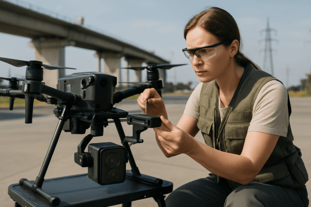
A meticulous inspection of your drone and its components is non-negotiable before every flight.
- Drone and Controller: Check the physical condition of the drone frame, arms, and landing gear for any damage. Ensure the remote controller is fully charged and responsive.
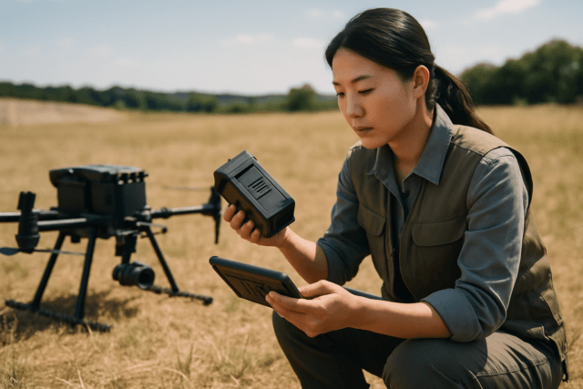
- Batteries: Use fully charged batteries and inspect them for any signs of damage or swelling. Proper battery management is crucial to prevent mid-flight power failures. Pack enough spares for the planned operation.
- Propellers: Meticulously inspect each propeller for cracks, chips, warping, or bending. Even minor damage can cause instability and lead to a crash.
- Sensors and Camera: Clean all vision and infrared sensors. Ensure the camera lens is undamaged and clean, and the gimbal moves smoothly.
- SD Card: Verify that the memory card has sufficient storage space and is correctly formatted.
- Firmware: Confirm that the drone and controller are on the latest stable firmware to prevent connection issues.
Developing a Comprehensive Mission Plan
Plan your flight path, including takeoff and landing points, and set a Return-to-Home (RTH) altitude that is safely above all known obstacles. Proactively integrate emergency landing and GPS fallback options into your trajectory planning.
Safe Flying Techniques in Densely Populated Areas
Once pre-flight preparations are complete, disciplined flying techniques are essential for safe urban drone operations.
Maintaining Visual Line of Sight (VLOS)
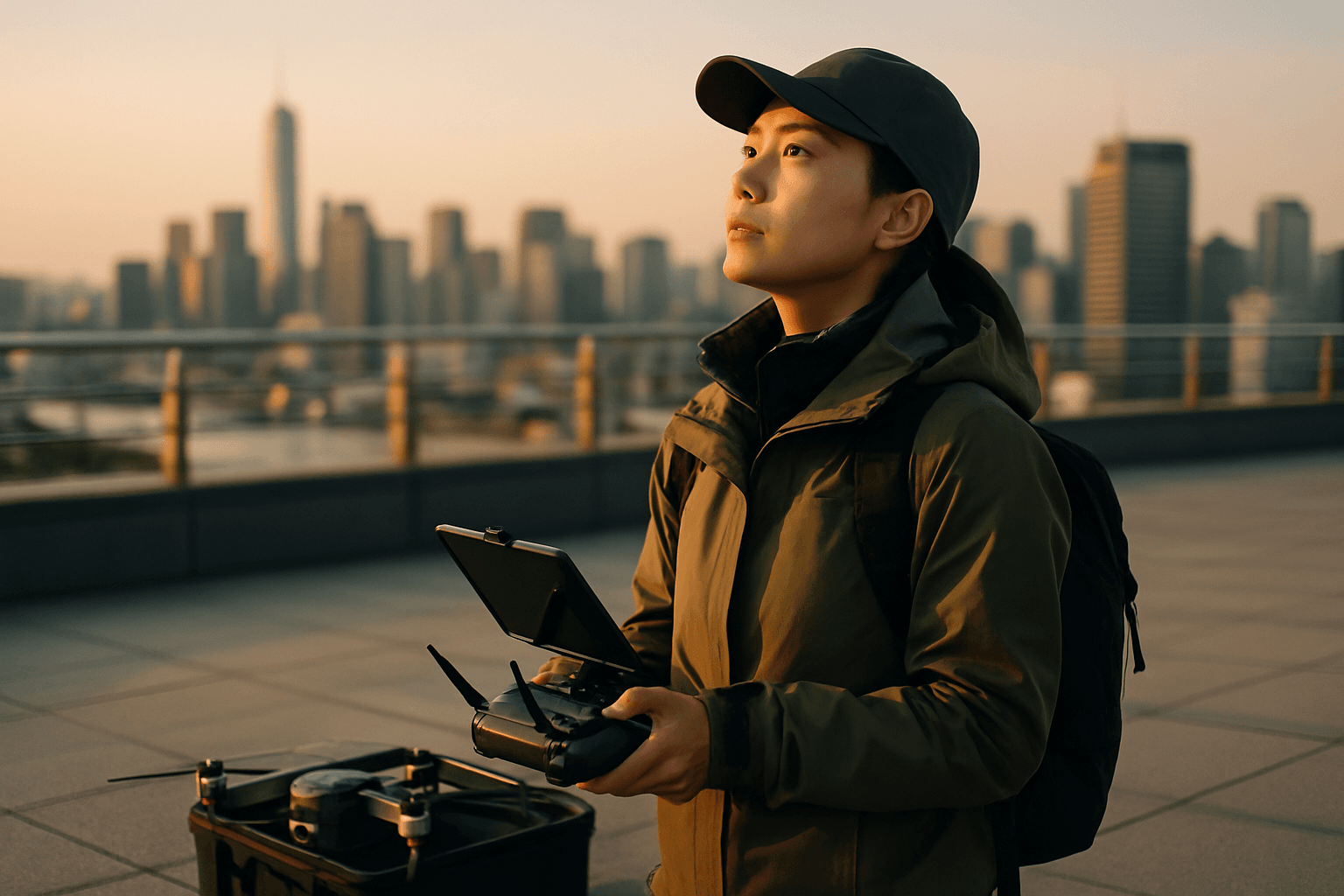
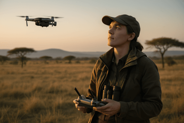
A critical requirement for drone operation is maintaining Visual Line of Sight (VLOS). This means the pilot or a designated visual observer must be able to see the drone with unaided vision (other than corrective lenses) at all times. VLOS ensures the operator can directly monitor the drone’s position, attitude, and direction of flight, respond to hazards, and avoid collisions. Never rely solely on the drone’s camera feed. For photography, a visual observer can be co-located with the pilot and in direct communication to assist in maintaining VLOS.
Responsible Altitude Management
- Maximum Altitude: Generally, drones must be flown at or below 400 feet above ground level (AGL) to comply with regulations and avoid conflicts with human-crewed aircraft.
- Obstacle Avoidance: Be mindful of the height of the tallest structures in your area to prevent collisions. When flying for photography, experimenting with different altitudes can yield unique perspectives, but always stay clear of buildings and people.
Avoiding Crowds and Ensuring Privacy
To minimize risk and ensure public safety, avoid flying over crowded areas. Many cities have regulations prohibiting drone flights over public gatherings or private property without consent. Respecting privacy is also paramount; do not use your drone to capture images or recordings of individuals or private property where there’s a reasonable expectation of privacy.
Managing Electromagnetic Interference (EMI)
Urban environments can cause signal loss due to electromagnetic interference. Keeping your drone closer can be a straightforward safety measure to mitigate this risk. If signal loss occurs, set your drone to hover, and ensure your Return-to-Home (RTH) altitude is above the Minimum Obstacle Clearance Altitude (MOCA). Proactive path planning that considers communication coverage can enhance resilience against GPS spoofing and signal interference.
Optimizing Drone Photography and Videography in Urban Settings
Beyond safety, specific techniques can elevate your urban aerial visuals.
Choosing the Right Time and Light
- Golden Hour and Blue Hour: These periods just after sunrise or before sunset offer soft, warm, or dramatic cool light, respectively, ideal for urban photography.
- Strong Light and Shadows: Morning or late afternoon light creates strong directional light and shadows, which can highlight geometric patterns and add depth to your urban shots.
- Including People: Shooting later in the morning when people are out can add energy and liveliness to your urban shots.
Composition and Perspective
- Geometric Patterns and Lines: Urban environments are rich with intentional design, strong right angles, and clear geometric shapes. From a bird’s-eye view, these patterns become incredibly apparent and can form compelling compositions.
- Unique Angles: Experiment with different angles. Don’t settle for traditional shots; rotate the drone slightly to find a more interesting perspective.
- Foreground Elements: Incorporate elements like cars, pedestrians, or architectural details in the foreground to add depth to your photos.
- Simplifying the Shot: Look at the edges and corners of your frame and consider what elements can be removed to clean up the composition and reduce distractions.
Smart Camera Settings and Accessories
- ISO: Keep your ISO at 100 in daylight to avoid unnecessary noise in images. Use manual camera mode to maintain control over settings.
- Polarizing Filters: Urban environments often have reflective surfaces (windows, puddles). A polarizing filter can reduce reflections and improve color saturation.
Insurance and Emergency Preparedness
Even with meticulous planning, unforeseen incidents can occur. Being prepared with proper insurance and emergency protocols is crucial.
Drone Insurance
While the FAA does not mandate insurance for recreational drone pilots, many commercial clients and contracts require coverage. Some states and municipalities also have their own insurance requirements.
- Third-Party Liability: This essential coverage protects you if your drone causes damage or injury to a third party, such as a person or property on the ground. Coverage typically starts at $1 million.
- Hull Insurance: This covers damage to your drone itself and attached equipment like cameras and sensors.
- Commercial vs. Recreational: Commercial operators usually require higher liability limits and more comprehensive coverage than recreational users, whose homeowner’s or renter’s insurance might offer limited coverage.
Emergency Procedures and Contingency Planning
Having a clear emergency plan can make a significant difference in handling unexpected situations effectively.
- Loss of Control/Flyaway: Attempt to regain control or activate the Return-to-Home (RTH) function. If RTH is not activated, maintain VLOS and try to track the drone until it lands. Proactive path planning that includes emergency landing zones is vital.
- Battery Failure: Drones may give a warning before battery failure, which can result in an uncontrolled descent. Maintain visual contact, clear the area for landing, and announce the failure.
- In-Flight Fire: If control is possible, land immediately and use a fire extinguisher, sand, or blanket to prevent flame spread.
- Public Interference: If a person enters the flight area, immediately notify the pilot, inform the individual they are in the flight area, and request they remain in position to allow for a safe landing or finding a new landing area.
- Incident Reporting: Document and report any incidents or near-misses to improve safety protocols and prevent future occurrences.
Conclusion
Planning and executing drone flights in urban environments for photography and videography demands a high degree of responsibility, knowledge, and adherence to safety protocols. By diligently researching regulations, conducting thorough pre-flight assessments, employing safe flying techniques, and being prepared for emergencies, drone pilots can unlock the immense creative potential of urban aerial imagery while ensuring the safety of people and property. Responsible urban drone operation is not just about capturing a great shot; it’s about being a conscientious and compliant member of the aviation community.


