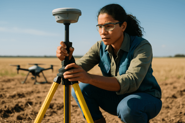
Drones have revolutionized infrastructure inspection, offering unparalleled efficiency, safety, and access to hard-to-reach areas. However, the accuracy and reliability of the data collected—whether for identifying minute cracks in a bridge, assessing heat loss in a building, or mapping precise terrain changes—hinge critically on properly calibrated sensors. Without precise calibration, even the most advanced drone can yield unreliable data, leading to costly errors and flawed analyses. This guide delves into the essential sensor calibration procedures, best practices, and technological considerations to ensure your drone provides survey-grade data for infrastructure assessments.
Why Drone Sensor Calibration is Critical for Infrastructure Inspections
Accurate sensor data is the bedrock of effective drone-based infrastructure inspection. Calibration is the process of aligning and fine-tuning a drone’s internal sensors and systems to ensure they provide accurate and reliable data, thereby maximizing accuracy and reliability in operation.
Importance of Accuracy and Reliability
For infrastructure inspections, precision is paramount. Small discrepancies in sensor readings can lead to misinterpretations of structural integrity, inaccurate measurements, and incorrect maintenance decisions. Properly calibrated sensors ensure that the drone’s flight capabilities are accurate, its readings are reliable, and its maneuverability is enhanced. This directly influences the geometric accuracy of 3D models and maps generated from drone data, correcting for lens distortions and systematic errors.
Types of Errors Prevented
Regular calibration helps prevent various issues that could compromise inspection quality and flight safety:
- Drifting and Instability: An uncalibrated Inertial Measurement Unit (IMU) can cause the drone to drift, tilt, or exhibit erratic flight behavior, leading to unstable flight and potential safety hazards.
- Inaccurate Positioning: An improperly calibrated compass can lead to problems with drone control and navigation, especially when moving to new locations with different magnetic interference.
- Distorted Imagery and Data: Uncalibrated cameras and LiDAR sensors can introduce geometric distortions, measurement errors, and unreliable 3D models, affecting the quality of deliverables.
- Degraded Battery Efficiency: Drones compensating for perceived imbalances due to calibration errors may consume more energy, reducing flight time.
Key Sensors in Infrastructure Inspection Drones
Drones deployed for infrastructure inspection are equipped with a suite of sophisticated sensors, each serving a specific purpose in data collection. The optimal choice of sensor depends on the inspection’s goals, the type of infrastructure, and environmental conditions.
- Visual (RGB) Cameras: High-resolution RGB cameras are fundamental for visual assessments, capturing detailed imagery and video to identify visible defects like cracks, corrosion, and wear on structures.
- Thermal and Infrared (IR) Cameras: These cameras detect heat anomalies and temperature variations, crucial for identifying insulation failures, electrical faults, moisture, and structural issues invisible to the naked eye.
- LiDAR (Light Detection and Ranging): LiDAR sensors use laser pulses to create highly accurate, detailed 3D maps and models. They are invaluable for generating precise 3D models of assets, penetrating vegetation, and tracking changes over time.
- Inertial Measurement Unit (IMU): Comprising accelerometers and gyroscopes, the IMU is the “sensory system” that detects the drone’s motion, position, orientation, and movement, ensuring stable flight.
- Compass/Magnetometer: The compass guides the drone’s orientation, helping it know its direction relative to Earth’s magnetic north.
- GPS/GNSS (Global Positioning System/Global Navigation Satellite System): These receivers provide the drone’s global coordinates. For higher precision, Real-Time Kinematic (RTK) and Post-Processed Kinematic (PPK) systems are often integrated. RTK provides real-time centimeter-level accuracy by using live correction data from a base station, while PPK corrects data after the flight, ideal for areas with unreliable live signals.
Step-by-Step Calibration Procedures for Common Drone Sensors
While specific steps may vary by drone model and manufacturer, the general principles for calibrating key sensors remain consistent. Always consult your drone’s user manual for precise instructions.
IMU Calibration
The IMU is vital for stable flight, detecting changes in pitch, yaw, and roll. Calibration corrects accumulated errors in its accelerometers and gyroscopes.
- Preparation: Ensure the drone battery is charged to at least 50%. Remove propellers and gimbal clamps as per manufacturer guidelines.
- Level Surface: Place the drone on a perfectly flat and stable surface. This is critical for accurate readings. Some suggest doing this at home or a controlled environment rather than in the field due to the need for a level surface.
- Access Calibration: Power on the drone and remote controller. Connect to the drone’s app (e.g., DJI Fly, DJI GO 4). Navigate to the main controller or safety settings, then find the “Sensors” or “IMU” section and select “Calibrate IMU”.
- Follow On-Screen Prompts: The app will guide you through a series of orientations (e.g., tilting the drone on its side, front, back, and upside down). Carefully follow these instructions, ensuring the drone is held still in each position.
- Completion and Restart: Once all positions are completed, the app will confirm calibration success. The drone may restart automatically. Perform an optional power cycle before flight.
When to Calibrate IMU:
- When first unboxing the drone.
- If the app prompts a calibration.
- After a significant change in temperature (especially if storing the drone in varying conditions).
- If the drone exhibits erratic behavior, such as drifting or instability during flight.
- After a minor crash or hard landing.
- If the drone hasn’t been flown for an extended period (e.g., 2-4 months).
- After traveling a long geographical distance or changing altitude significantly (e.g., every 1,000 ft of elevation change).
Compass Calibration
The compass provides directional reference and is susceptible to electromagnetic interference.
- Choose an Open Area: Perform compass calibration in an open area, away from metal structures, vehicles, power lines, and electronic devices (including metal watches or jewelry on the pilot) to avoid electromagnetic interference.
- Access Calibration: Power on the drone and remote controller. Launch the drone app, navigate to safety or sensor settings, and select “Compass Calibration”.
- Horizontal Rotation: The app will instruct you to rotate the drone horizontally 360 degrees, typically with the nose facing outward and parallel to the ground. Some apps may indicate clockwise or counterclockwise rotation. The drone’s LED lights often change color to indicate progress.
- Vertical Rotation: Once the horizontal rotation is complete, the app will prompt you to rotate the drone vertically 360 degrees, usually with the nose pointing downward. Continue rotating until the lights indicate completion.
- Confirmation and Restart: The app will confirm successful calibration. Power off and restart the drone before flying.
When to Calibrate Compass:
- Before the first flight out of the box.
- When moving to a new flight location, especially if there are significant changes in magnetic fields (e.g., city to rural area).
- If the app prompts a calibration due to interference or abnormal orientation.
- After any minor or major crashes.
- If the drone isn’t flying properly or if its orientation is erratic.
Gimbal Calibration
Gimbal calibration ensures the camera is level and stable, preventing crooked horizons or shaky footage.
- Preparation: Place the drone on a flat, level surface. Remove any non-standard filters or wide-angle lenses if they interfere with the gimbal’s movement.
- Access Calibration: Power on the drone and remote controller, and launch the app. Navigate to camera settings or control settings and find “Gimbal Calibration”.
- Auto-Calibration: Most drones offer an “Auto-Calibration” option. Select this, and the gimbal will automatically rotate through its range of motion to calibrate its motors and sensors.
- Manual Adjustment (Optional): If auto-calibration doesn’t perfectly correct a crooked horizon, some drones allow manual fine-tuning of horizontal and yaw values within the app.
- Confirmation: A message will appear in the app when calibration is complete.
When to Calibrate Gimbal:
- If you notice unlevel or shaky footage.
- After a firmware update.
- If the app prompts a “Gimbal Calibration Required” warning.
- If the gimbal is physically skewed when the drone is powered on.
Camera Calibration (Intrinsic/Extrinsic)
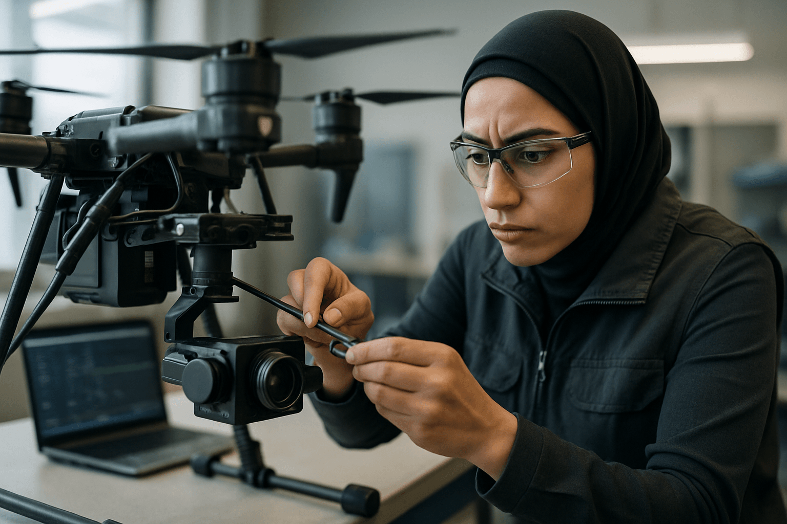
While often factory-calibrated, camera calibration ensures precise measurements from images, crucial for photogrammetry in inspections. This involves correcting lens distortions (e.g., barrel or fisheye) and determining intrinsic parameters like focal length and principal point. Many photogrammetry software packages have built-in profiles for common drone cameras, or users can perform a calibration flight with ground control points (GCPs) to refine these parameters. Ensure lenses are clean and firmware is updated.
RTK/PPK System Setup and Verification
For centimeter-level accuracy in mapping and surveying, RTK (Real-Time Kinematic) and PPK (Post-Processed Kinematic) systems are essential.
- Base Station Setup: For both RTK and PPK, a base station is typically required. It needs to be set up on a known point with accurate coordinates.
- Link Drone to Base Station: Ensure the drone and base station are properly linked. For RTK, this involves a live signal connection (radio, cellular, or NTRIP) to provide real-time correction data during flight.
- Ground Control Points (GCPs): Even with RTK/PPK, using at least three clearly marked Ground Control Points (GCPs) per flight is advised as checkpoints to verify the accuracy of the obtained coordinates.
- Post-Processing (for PPK): For PPK workflows, the drone records GPS position data during flight, and corrections are applied after the flight by comparing this data with the base station’s precise position.
- Environmental Awareness: Be aware of signal interference, weather conditions (heavy rain can interfere with laser pulses for LiDAR, and humidity/dust can affect LiDAR accuracy), and clear line of sight for RTK signals.
Environmental Factors and Best Practices for Calibration
Environmental conditions significantly influence sensor accuracy and the need for calibration.
Environmental Influences
- Electromagnetic Interference: Strong electromagnetic fields from power lines, military bases, large metal structures, or electronic devices can disrupt compass readings. Always calibrate in an open, electromagnetically clean area.
- Temperature: Temperature fluctuations can impact IMU sensors, causing changes in mechanical elements and affecting raw sensor measurements. Thermal sensors are also highly sensitive to temperature changes, which can lead to drift and inaccurate readings.
- Humidity and Dust: Humid air has a different density, affecting LiDAR calibration, and dust particles can block laser light, reducing accuracy. Rain will also severely impact LiDAR surveys.
- Altitude and Geographic Circumstances: Changes in altitude or geographical location can impact compass calibration and may necessitate more frequent checks.
Pre-Flight Checks and Routine Maintenance
- Regular Calibration: Regularly calibrate sensors to maintain accuracy, especially if you notice abnormal flight behavior or data. Neglecting calibration can lead to unreliable data.
- Manufacturer Guidelines: Always follow the manufacturer’s recommended calibration procedures, as they can vary between drone models and sensor types.
- Firmware Updates: Keep your drone’s firmware updated, as this can affect calibration and overall performance.
- Cleanliness: Ensure camera lenses and other sensor surfaces are clean and free from obstructions.
- Test in Diverse Conditions: If possible, test sensors in various conditions to ensure reliability, rather than assuming calibration is universal across all environments.
- Document Results: Document calibration results for compliance, troubleshooting, and tracking performance over time.
Enhancing Accuracy with Advanced Technologies
Ground Control Points (GCPs)
GCPs are physical markers on the ground with known coordinates. They act as “anchors” to ground truth, providing survey-grade precision and verifying the accuracy of drone-collected data, even with RTK/PPK systems.
Data Processing Software
Specialized software for photogrammetry, 3D modeling, and GIS analysis is crucial for processing high-resolution images and sensor data. These tools can identify patterns, trends, and anomalies, turning raw data into actionable insights and supporting decision-making. Integration with AI and machine learning can further automate defect detection and analysis.
Conclusion
Calibrating drone sensors for infrastructure inspections is not merely a technical step but a fundamental practice that underpins the reliability, safety, and effectiveness of drone operations. By understanding the function of each sensor, adhering to systematic calibration procedures, and considering environmental influences, operators can ensure their drones capture the highest quality data. Consistent calibration, coupled with advanced technologies like RTK/PPK and robust data processing, transforms drones into indispensable tools for precise infrastructure assessment, enabling proactive maintenance and extending the lifespan of critical assets.

