In the critical domain of Search and Rescue (SAR) operations, every second and every detail can mean the difference between life and death. Unmanned Aerial Systems (UAS), commonly known as drones, have revolutionized SAR by providing rapid aerial intelligence, expanding search coverage, and reducing risk to personnel. However, the efficacy of drone-based SAR missions hinges entirely on the integrity of the data collected. Without accurate, reliable, and untampered imagery, rescue efforts can be misdirected, resources wasted, and opportunities to save lives lost. This article delves into the best practices for ensuring data integrity in drone SAR imagery, transforming raw data into actionable intelligence for emergency responders.
The Indispensable Role of Data Integrity in Drone SAR
Data integrity refers to the accuracy, consistency, and reliability of data over its lifecycle. For drone SAR imagery, this means ensuring that the visual and geospatial information captured is a true representation of the search area, free from errors, distortions, or unauthorized alterations. Poor data quality can lead to poor outcomes, making robust quality management critical for drone operations. The implications of compromised data in SAR are profound:
- Misidentification of Targets: Blurry or distorted images can lead to missing a person in need or misinterpreting objects.
- Inaccurate Location Data: Incorrect GPS coordinates can send rescue teams to the wrong location, wasting precious time.
- Ineffective Resource Allocation: Without reliable information, commanders cannot optimally deploy ground teams, medical personnel, or other critical assets.
- Operational Risks: Flawed data could lead responders into dangerous or unstable environments unnecessarily.
Therefore, implementing rigorous data integrity checks throughout the entire drone operation workflow is not merely a best practice; it is a fundamental requirement for successful and safe SAR missions.
Comprehensive Data Integrity Checks: A Multi-Stage Approach
Maintaining data integrity for drone SAR imagery requires a systematic approach, encompassing pre-flight planning, in-flight data collection, and post-flight processing and analysis.
Pre-Flight Planning and Equipment Preparation
The foundation of high-quality data is laid long before the drone takes flight. Meticulous planning and equipment checks are crucial.
1. Define Inspection Goals and Site Assessment
Clearly outline the objectives of the SAR mission. This involves understanding the search area, potential hazards, and the specific information required (e.g., visual confirmation of a person, assessment of terrain stability, thermal signatures). A thorough site assessment helps identify potential obstacles and areas of interest, informing the flight plan.
2. Choose the Right Drone and Sensor System
Not all drones are created equal, and selecting compatible equipment tailored to the mission’s objective is paramount. For SAR, this often includes high-resolution cameras, thermal imaging cameras, and potentially LiDAR sensors to penetrate dense foliage or operate in low visibility. Drones with extended flight times, advanced obstacle avoidance, and weather resistance are also highly beneficial.
3. Calibrate Camera Settings and Sensor Systems
Proper calibration ensures the captured data is consistent and accurate.
- Sharpness and Focus: Verify that images are consistently in focus and possess sufficient detail.
- Exposure and White Balance: Ensure images are clear and properly exposed, with natural and true-to-scene colors. Avoid over or underexposure, which can obscure critical details. Consistent lighting, often achieved on overcast days, can produce the best quality images by diffusing sunlight and minimizing harsh shadows and glare.
- Noise and Graininess: Check for excessive noise, especially under low-light conditions, which can degrade image quality.
- Resolution and Format: Configure the camera for optimal resolution and appropriate file formats (e.g., JPEG for quick viewing, RAW for detailed post-processing).
4. Optimize Flight Parameters
The flight plan directly impacts data quality and coverage.
- Altitude and Speed: Adjust these to achieve the desired Ground Sampling Distance (GSD), which defines the real-world space within each image pixel. A lower GSD offers more detail but requires more images and longer processing times, so balance GSD with project requirements.
- Image Overlap: Plan for sufficient overlap (e.g., 60-70%) between photos to ensure smooth data alignment during photogrammetry processing and prevent gaps in coverage.
- Consistent Flight Path: Maintain a steady altitude and consistent flight path to ensure uniform data collection.
- Weather Considerations: Favorable weather, characterized by stable winds and good lighting, is crucial for consistent data collection.
During Flight Data Collection
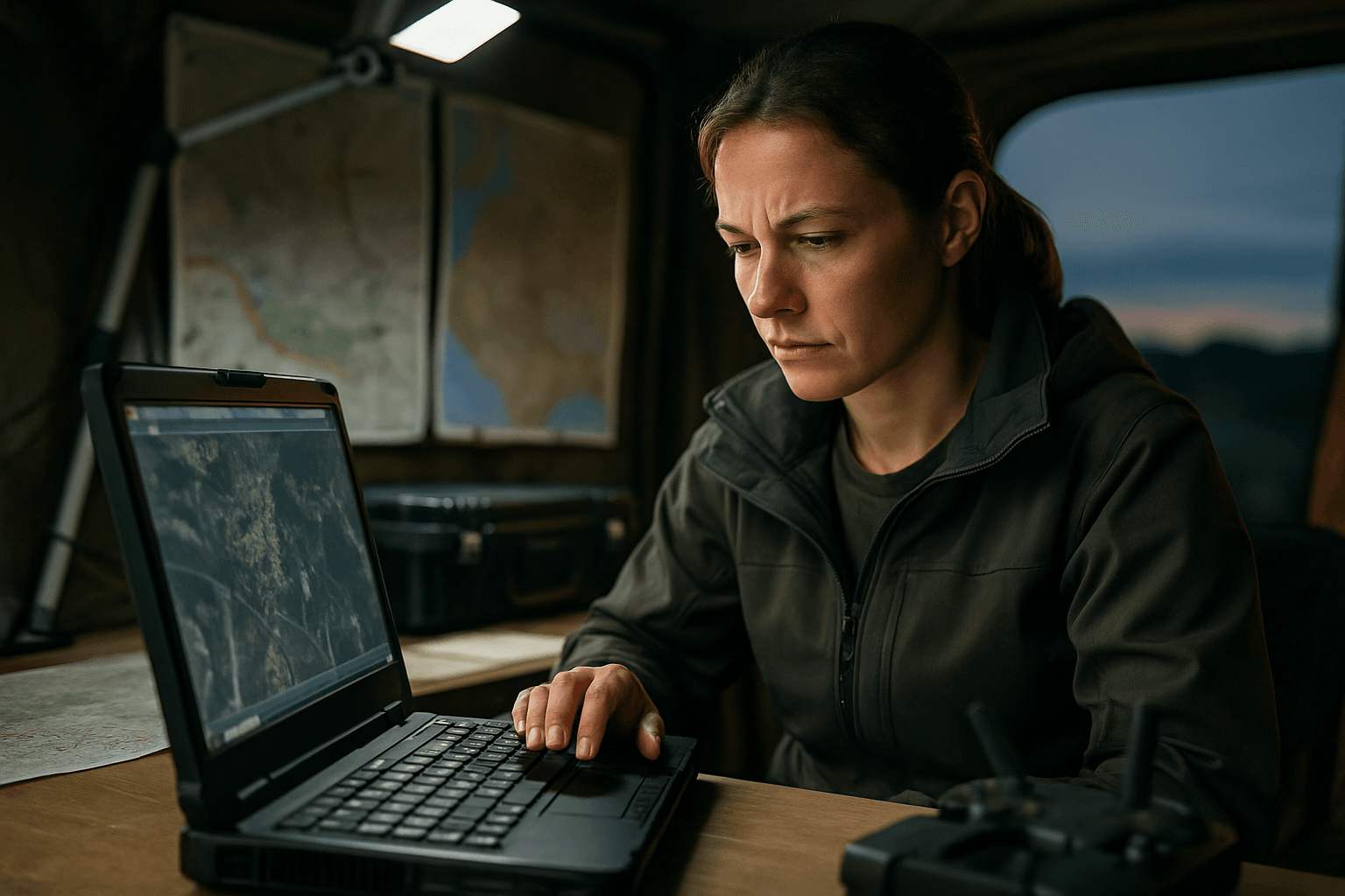
Real-time monitoring and robust technology during the flight are essential to capture reliable data.
1. Maintain Visual Line of Sight (VLOS)
Operators should always maintain VLOS with the drone to monitor its flight, respond quickly to obstacles, and ensure safety. This also allows for immediate visual assessment of potential data collection issues.
2. Monitor Image Capture in Real-Time
Actively observe the image capture process and note any unexpected issues, such as changes in lighting, drone behavior, or sensor malfunctions. Some advanced drones offer real-time high-definition video transmission with low latency, providing immediate situational awareness.
3. Ensure GPS and RTK/PPK Precision
Accurate geolocation data is paramount. While standard GPS provides approximate locations, Real-Time Kinematic (RTK) and Post-Processed Kinematic (PPK) positioning systems enhance accuracy down to centimeters, enabling precise pinpointing of locations. Calibrating the GPS system correctly is vital.
4. Real-time Data Synchronization
Instant integration with mission control centers provides command teams with updated positional information for coordinated rescue efforts. This allows for immediate analysis and decision-making.
Post-Flight Processing and Analysis
Once the drone lands, a series of stringent checks and processing steps are required to validate the integrity and usability of the collected imagery.
1. Initial Imagery Review and Culling
Before any intensive processing, manually review the captured images and remove any problematic ones. This includes:
- Blurry or Out-of-Focus Images: These lack critical detail.
- Over- or Underexposed Images: These obscure details in highlights or shadows.
- Images with Large Portions of Horizon or Obstructed Views: These can cause errors during photogrammetry processing.
- Images with Significant Artifacts or Distortions: Look for vignetting, chromatic aberration, mosaic blurring, or hotspots.
2. Georeferencing and Alignment
Ensuring that data is correctly georeferenced and aligns with other geospatial data (such as orthomosaic maps or GIS layers) is crucial.
- Ground Control Points (GCPs): Utilizing GCPs with known coordinates provides reference points to verify and improve the accuracy of the drone data, especially for 3D models and precise measurements.
- Coordinate System Consistency: When integrating multiple data sources, ensure all datasets use the same coordinate system.
3. Image Quality Verification
Beyond the initial culling, conduct a deeper verification of image quality:
- Sharpness and Detail: Confirm sufficient detail for analysis.
- Color Accuracy and Balance: Ensure natural and true-to-scene colors.
- Freedom from Artifacts: Verify that images are free from significant distortions like saturated areas or relief displacement effects.
- Consistency: Look for variations or inconsistencies in quality or appearance within the dataset.
4. Metadata Inspection
Embedded metadata (capture date and time, GPS coordinates, camera settings) must be accurate and consistent across the dataset. This metadata should also align with the intended flight plan. Automating technical metadata collection is a key best practice.
5. Data Consistency Checks
Compare images and data points across the dataset for any significant variations or inconsistencies. For SAR imagery, this might involve comparing different passes over the same area or integrating various sensor data (e.g., visual and thermal) to cross-validate findings.
6. Utilize Specialized Processing and Analysis Software
Advanced software plays a vital role in transforming raw drone data into actionable insights and in verifying its integrity.
- Photogrammetry and 3D Modeling Software: Tools like Pix4D or DJI Terra can create detailed 3D models and maps from images, which are crucial for deformation tracking and visual assessment. These also aid in creating orthomosaic maps, which are geometrically corrected aerial images.
- Thermal Analysis Tools: Software like FLIR Tools analyzes thermal data to identify heat anomalies, which is essential for detecting human heat signatures in SAR.
- AI-Powered Image Analysis: Solutions utilizing AI neural networks can process drone images, provide real-time insights, detect human objects, and perform thermographic image analysis with increased accuracy. AI can also aid in predictive route planning for search paths.
- GIS Software: Used for spatial analysis and integrating drone data with other geographical information.
7. Implement Robust Error Handling and Recovery Mechanisms
Poor quality data can lead to poor quality outcomes. A robust system provides immediate visibility into what went wrong, where, and why, allowing teams to intervene before issues impact mission deadlines.
8. Establish Clear Data Classification and Hierarchy
Categorize data based on its sensitivity, criticality, and any relevant regulatory requirements. This is especially important for potentially sensitive data like aerial imagery and flight logs.
9. Ensure Comprehensive Security and Compliance
Data integrity also encompasses protection against unauthorized access and alteration. This includes:
- Encryption: Protects data privacy by converting it into unreadable formats during transmission and storage (e.g., AES-256 for video feeds and GPS data).
- Authentication: Verifies the identity of senders and receivers, safeguarding the integrity of transmitted data, especially crucial for command and control communications.
- Access Controls: Implement strict user permissions to ensure only authorized personnel can access and modify sensitive drone data.
- Audit Trails: Maintain records of who accessed and modified data, when, and how, to ensure accountability.
- Legal Compliance: Adhere to privacy regulations (e.g., GDPR) to mitigate risks associated with data privacy and security breaches. Independent security audits can help identify and rectify vulnerabilities.
Challenges in Maintaining Data Integrity
Despite best practices, several challenges persist in ensuring data integrity for drone SAR imagery:
- Data Volume: High-resolution images and videos generate massive datasets (terabytes or petabytes), posing storage and management challenges.
- Real-time Processing: Many SAR applications require real-time analysis, which can strain computing resources. Onboard processing capabilities are improving but still have bottlenecks for complex tasks like real-time anomaly detection.
- Data Transfer and Connectivity: Transferring large volumes of data from drones in remote areas can be slow due to limited connectivity.
- Environmental Factors: Challenging scenes like forests, grasslands, or large bodies of water can make processing difficult, as can highly reflective surfaces or inconsistent lighting.
Solutions include utilizing cloud storage, data compression, optimized transfer protocols, high-performance computing, and edge computing to distribute workloads.
Conclusion
The deployment of drones in Search and Rescue has transformed emergency response, offering unparalleled aerial perspectives and rapid data collection. However, the true value of this technology is unlocked only when the integrity of the collected data is meticulously preserved. By adhering to best practices throughout pre-flight preparation, in-flight operations, and post-flight processing, SAR teams can ensure that the imagery they rely on is accurate, reliable, and actionable. Continuous vigilance, the integration of advanced software, and a commitment to robust data security protocols are paramount to leveraging drone technology effectively and ultimately, saving more lives.


