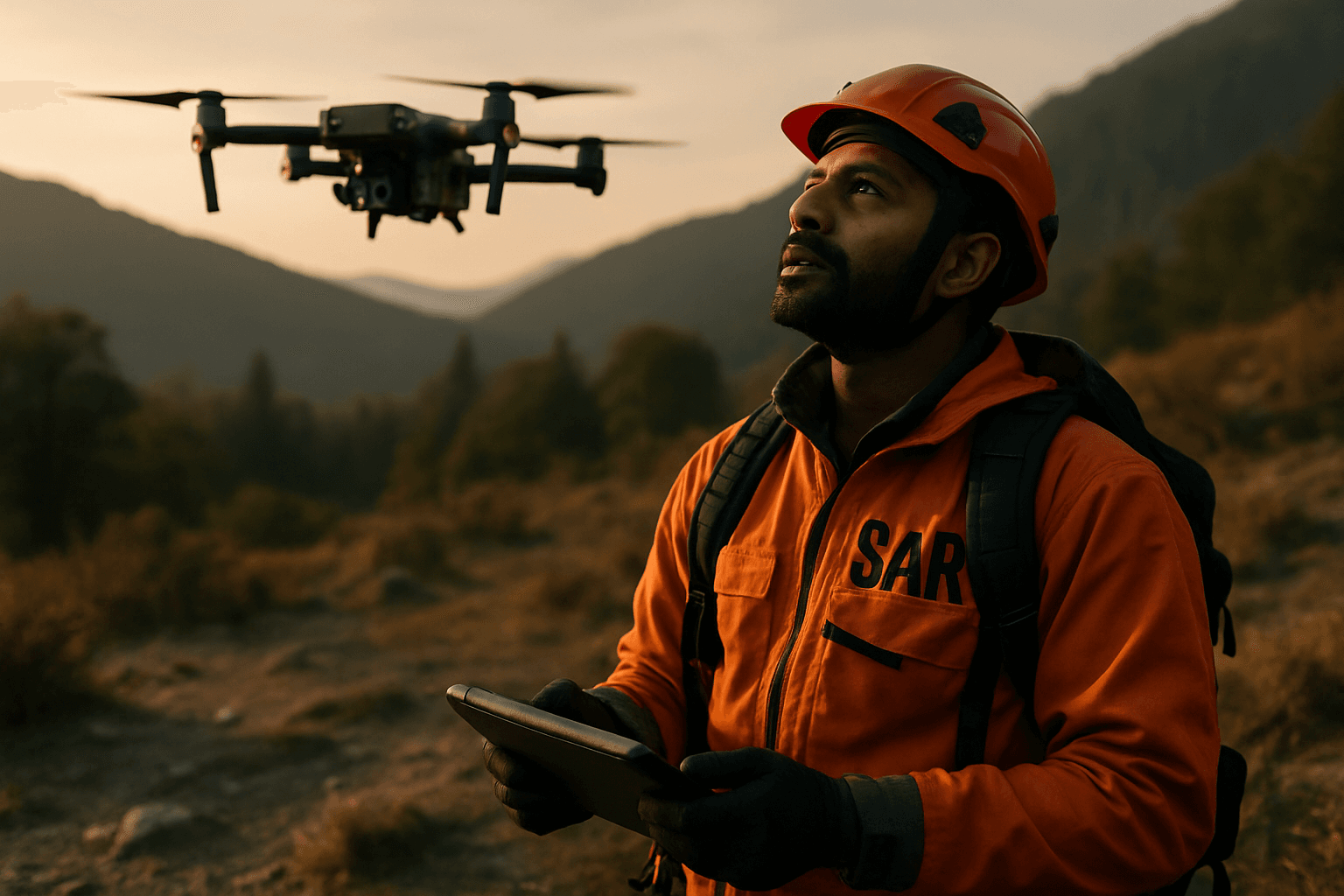
The landscape of search and rescue (SAR) operations is undergoing a profound transformation, with unmanned aerial systems (UAS), commonly known as drones, emerging as indispensable tools. Once a supplementary asset, drones are rapidly evolving into central figures in saving lives, driven by a convergence of cutting-edge technologies. The future promises even more sophisticated capabilities, pushing the boundaries of what’s possible in the face of natural disasters, missing person incidents, and complex emergency scenarios.
The Rise of Artificial Intelligence and Advanced Autonomy in SAR Drones
Artificial intelligence (AI) is at the heart of the next generation of SAR drones, enabling unparalleled levels of autonomy and decision-making. Future drones will move beyond basic pre-programmed flights to intelligent, self-sufficient systems.
Autonomous Navigation and Obstacle Avoidance
AI algorithms empower drones to navigate complex and dynamic environments independently, avoiding obstacles and adapting to changing conditions without constant human input. This includes capabilities like Simultaneous Localization And Mapping (SLAM) and visual odometry, which allow drones to create real-time maps and pinpoint their position, even in GPS-denied areas such as dense forests or urban canyons.
Enhanced Object Detection and Recognition
AI algorithms are being trained to swiftly process vast amounts of drone-captured imagery and video footage to detect humans, vehicles, and other objects of interest. This technology significantly improves the ability to identify survivors or individuals in distress, even within cluttered environments like disaster zones. Drones can distinguish between human and animal heat signatures, autonomously track potential targets, and relay precise coordinates to ground teams.
Predictive Analytics and Decision Support
AI provides crucial decision support by rapidly processing and interpreting data. Algorithms can analyze historical data, topography, and weather conditions to predict the most probable locations of survivors, optimizing search patterns and resource allocation for SAR teams. This capability allows drones to autonomously adjust search strategies based on real-time environmental data.
Revolutionizing Data Collection with Advanced Sensor Payloads
The “eyes and ears” of SAR drones are becoming increasingly sophisticated, offering multi-modal data collection that far surpasses traditional methods.
High-Resolution and Thermal Imaging
Standard equipment like high-resolution cameras and thermal imaging remains vital, with continuous advancements. Thermal cameras are game-changers for locating missing persons in low-visibility conditions, at night, or through smoke and fog, by detecting heat signatures. These systems are crucial for rapid assessment and locating survivors hidden from plain sight.
LiDAR and Multispectral Sensors
Beyond visual and thermal, specialized sensors are becoming more common. LiDAR (Light Detection and Ranging) systems use pulsed lasers to create detailed 3D models of terrain and structures, which is invaluable for mapping disaster zones, identifying structural damage, and planning safe routes. Multispectral and hyperspectral cameras capture specific electromagnetic bands, helping to identify disturbed vegetation or ground anomalies that might indicate human presence.
Environmental and Electronic Sensors
Future payloads will include gas detectors to assess hazardous environments, and even electronic reconnaissance tools capable of detecting Bluetooth, Wi-Fi, or Icom radio signals from mobile devices, effectively tracing “digital footprints” to locate individuals. This broad range of sensors allows for comprehensive environmental hazard detection and real-time situational awareness for SAR teams.
The Power of Collaboration: Swarm Intelligence in SAR
One of the most transformative trends is the development of drone swarm technology, where multiple drones operate collaboratively to achieve a common goal.
Enhanced Coverage and Speed
Unlike single drones, a swarm can divide a large search area into smaller sections, with each drone responsible for a specific zone. This parallel processing approach enables a comprehensive sweep of vast terrains in a fraction of the time, significantly reducing the time needed to locate survivors in remote or inaccessible locations.
Collaborative Decision-Making and Resilience
Drone swarms utilize intelligent algorithms and communication protocols to facilitate collaborative decision-making, sharing real-time information such as search progress, detected obstacles, or survivor sightings. This collective intelligence allows the swarm to adapt its search patterns and prioritize areas of interest. Swarms are also designed for resilience, meaning if one drone fails, the others can adapt and redistribute tasks to ensure mission continuity.
Integration with Ground Robotics
Future swarm applications may involve heterogeneous agents, combining aerial drones with unmanned ground vehicles (UGVs) to form a communication mesh in collapsed buildings or challenging environments, allowing for both aerial mapping and closer inspection.
Extended Endurance and Innovative Power Solutions
The ability for drones to stay airborne longer is critical for SAR missions, where extensive search areas and prolonged operations are common.
Advanced Battery Technologies
Improvements in battery technology and power efficiency are continuously extending flight times. While many SAR drones already offer 30-60 minutes of flight, high-performance models are pushing towards 45-55 minutes or more with optimized power management. Modular and hot-swappable battery systems minimize downtime, allowing for quick replacements without restarting the mission.
Hybrid and Alternative Power Sources
Research is exploring hybrid power solutions, combining electric motors with traditional fuel engines or even solar augmentation, to achieve ultra-long endurance flights lasting many hours or even days. This is particularly beneficial for vast, remote areas or persistent surveillance needs.
Enhanced Communication and Networking Capabilities
Reliable and robust communication is paramount for effective drone operations, especially in SAR.
5G and Satellite Integration
The integration of 5G technology is a significant trend, offering ultra-low latency, high bandwidth, and robust connectivity. This enables real-time transmission of high-resolution visual and sensor data, even for Beyond Visual Line of Sight (BVLOS) operations over vast and difficult terrains. Furthermore, hybrid architectures combining cellular and satellite networks are being developed to ensure high reliability and availability, especially in remote areas where terrestrial networks may be disrupted or unavailable.
Mesh Networks and Data Sharing
Drones can act as relay points or temporary cell towers, creating ad-hoc communication networks that connect tactical units with command posts, facilitating real-time situational awareness and data sharing among multiple agencies.
Miniaturization and Specialized Drone Designs
Drones are becoming more versatile through variations in size and design, tailored for specific SAR challenges.
Micro and Mini Drones
Miniaturization efforts are making drones more portable and accessible for diverse missions, especially in confined spaces or challenging terrains. Tiny, agile drones can access areas inaccessible to human rescuers, such as inside collapsed buildings or dense foliage. Some concepts include “drone motherships” that deploy smaller “worker bee” drones for longer missions in specific areas.
Hybrid VTOL Designs
Hybrid Vertical Take-Off and Landing (VTOL) drones combine the advantages of multi-rotor and fixed-wing designs. They can take off vertically like a helicopter but transition to forward flight like an airplane, offering both maneuverability for tight spaces and extended range/speed for covering large areas.
Seamless Integration with Emergency Services Platforms
The effectiveness of future SAR drones will heavily rely on their ability to integrate seamlessly into existing emergency response ecosystems.
Real-Time Data Sharing and GIS Mapping
Drones will continue to provide real-time high-definition video transmission and sensor data to command centers, enabling rapid decision-making and efficient deployment of ground teams. Integration with Geographical Information System (GIS) mapping systems allows for precise documentation of searched areas, ensuring efficient coverage and minimizing redundancy.
Unified Operational Platforms
Future systems will integrate drone data with other ground-based systems and remote sensing technologies onto cloud-based emergency management software, providing a holistic view of the disaster situation and actionable insights for response efforts. This helps multiple agencies, from fire departments to police and medical teams, coordinate their efforts effectively.
Evolving Regulatory Frameworks
As drone technology advances, regulatory bodies worldwide are working to update policies to facilitate the safe and effective deployment of drones in emergency situations. These advancements aim to streamline drone operations, address concerns about data privacy and security, and create pathways for advanced capabilities like BVLOS flights, especially for public safety uses.
The future of drone technology in search and rescue is one of increased autonomy, enhanced sensory perception, collaborative intelligence, and seamless integration. These advancements are set to redefine emergency response, making SAR missions faster, safer, more efficient, and ultimately, more successful in saving lives.


