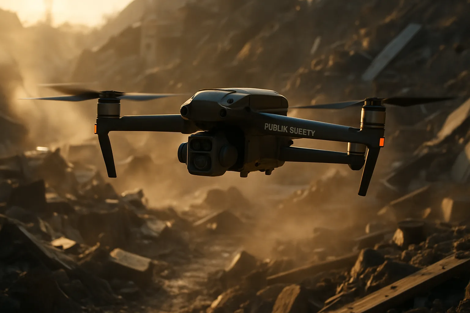
Unmanned aerial vehicles (UAVs), commonly known as drones, are rapidly transforming public safety and emergency services. From search and rescue operations to disaster response and law enforcement, drones offer unparalleled capabilities that enhance efficiency, improve safety, and save lives. This article explores the diverse applications of drones in public safety and emergency services, highlighting their benefits, use cases, and the latest advancements in drone technology.
Why Drones Are a Game-Changer for Public Safety
Drones have evolved from a “nice to have” to a “must have” for public safety agencies, offering a range of advantages that traditional methods simply cannot match. Here’s why:
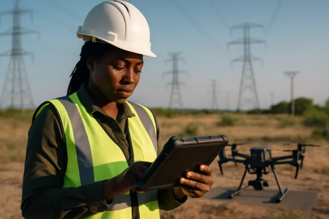
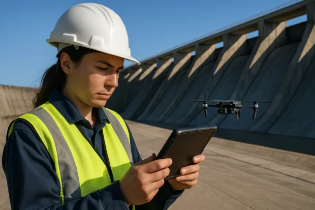
- Enhanced Situational Awareness: Drones provide real-time aerial imagery and data, giving first responders a comprehensive overview of emergency scenes. This allows for better decision-making, coordination, and tactical planning.
- Faster Response Times: Drones can be deployed within minutes of an emergency call, reaching locations faster than conventional vehicles. This rapid response is crucial in time-sensitive situations like search and rescue missions.
- Improved Safety: Drones minimize the risk to emergency responders by allowing remote operation from safe distances. They can enter hazardous environments, such as fire zones or collapsed structures, without putting personnel in danger.
- Cost-Effectiveness: Drones are a cost-effective alternative to manned aircraft, reducing expenses related to fuel, maintenance, and skilled personnel. This allows for more frequent and efficient aerial surveillance.
- Access to Inaccessible Areas: Drones can reach areas that are difficult or impossible for humans to access, such as rugged terrains, disaster-stricken zones, and confined spaces.
- 24/7 Operations: Equipped with thermal cameras and spotlights, drones can operate effectively in low-light conditions, at night, and in adverse weather, ensuring continuous surveillance and support.
Key Applications of Drones in Public Safety
1. Search and Rescue (SAR) Operations
Search and rescue is one of the most critical applications of drones in public safety. Drones significantly improve the speed and efficiency of SAR missions, especially in challenging terrains or weather conditions.
- Locating Missing Persons: Drones equipped with thermal cameras can detect body heat signatures, expediting searches in dense forests, rugged terrains, or low-visibility conditions.
- Covering Large Areas: Drones can rapidly scan and map large areas, reducing search time and increasing the chances of a successful rescue.
- Accessing Rugged Areas: Drones can access rugged or dangerous areas that would otherwise be inaccessible or too risky for rescue workers.
- Delivering Emergency Supplies: Drones can transport medical supplies, food, water, and communication devices to stranded individuals in remote or hazardous areas.
- Improving Firefighting Rescues: Firefighting drones can quickly locate and assess fire hotspots, providing real-time data to rescue teams and improving response times.
- Maritime Rescues: Drones can be fitted with infrared cameras to spot people in the water, even in poor visibility. They can also carry and place self-inflating buoys close to the victim, speeding up rescue operations.
2. Disaster Response
Drones play a crucial role in disaster response by providing rapid assessments, identifying hazards, and coordinating rescue efforts.
- Assessing Damage: Drones can quickly survey affected areas, assess the extent of damage, and identify safe routes for rescue teams.
- Mapping Affected Areas: Drones can create detailed 3D maps and models of disaster-affected regions, providing valuable data for coordinating emergency services and distributing resources.
- Delivering Aid: Drones can deliver essential supplies to areas that are difficult to access due to damaged infrastructure or unsafe conditions.
- Monitoring Hazardous Areas: Drones can monitor hazardous areas, such as construction sites or industrial sites, to detect potential safety risks and alert workers to take action.
- Real-time Environmental Monitoring: Drones can provide real-time data on flood patterns, water levels, and potential breaches in levees or dams.
3. Law Enforcement
Law enforcement agencies are increasingly using drones to enhance their operations, improve public safety, and reduce risks to officers.
- Aerial Surveillance: Drones provide a bird’s-eye view for crowd control, traffic management, and crime prevention.
- Crime Scene Investigation: Drones can capture detailed images and videos of crime scenes, aiding in evidence collection and analysis.
- Pursuit of Suspects: Drones equipped with thermal imaging can track fleeing suspects in low-light conditions or challenging terrains.
- Hostage Situations: Drones can provide real-time aerial reconnaissance, helping law enforcement respond more effectively and safely.
- Traffic Monitoring: Drones can monitor traffic flow, identify accidents, and assist in traffic management during peak hours or emergencies.
- Border Patrol: Drones are used for border patrol, urban monitoring, and emergency response.
4. Emergency Medical Services (EMS)
Drones are transforming emergency medical services by enabling faster delivery of critical supplies and providing real-time support to first responders.
- Delivering Medical Supplies: Drones can quickly deliver essential medical supplies, such as defibrillators, epinephrine, or tourniquets, to remote or inaccessible areas.
- Transporting Blood Samples: Drones can transport blood samples, ensuring timely delivery to laboratories for analysis.
- Rapid Response: Drones can be dispatched immediately to the scene of an accident or emergency to provide real-time video feed to emergency responders.
- Remote Patient Assessment: Drones can facilitate remote patient assessment, allowing medical professionals to provide guidance and support to individuals in need.
5. Firefighting
Drones offer firefighters enhanced safety and versatility, providing thermal imaging to pinpoint hotspots and ensure efficient responses.
- Assessing Fire Extent: Drones can be used to assess the extent of fires, identify hotspots, and guide firefighters to the most critical areas.
- Monitoring Fire Spread: Drones can provide a real-time overhead view of the fire scene, helping firefighters understand the fire’s spread and its potential path.
- Locating Hotspots: Thermal cameras attached to drones can help firefighters locate smoldering hotspots invisible to the naked eye, ensuring they are completely extinguished.
- Structural Fire Assessment: Drones can reveal key information about exits and entry points and the fire’s nature for structure fires.
Drone as First Responder (DFR) Programs
Drone as First Responder (DFR) programs are an emerging trend in public safety, where drones are launched in response to 911 calls to provide real-time aerial footage and data to emergency response teams before they arrive on the scene.
- Improved Situational Awareness: DFR programs provide first responders with critical information about the incident, allowing them to assess the situation, understand the terrain, and identify potential threats before they arrive.
- Enhanced Safety: By providing a live feed of the scene, DFR programs enhance the safety of first responders, allowing them to make informed decisions and avoid potential hazards.
- Faster Response Times: DFR programs enable faster response times by providing immediate aerial support, reducing the time it takes for first responders to assess and address the situation.
Regulations and Legal Considerations
The use of drones in public safety is subject to various regulations and legal considerations. Public safety agencies must comply with federal, state, and local laws regarding drone operations, including:
- FAA Regulations: In the United States, the Federal Aviation Administration (FAA) regulates drone operations. Public safety agencies can operate under Part 107 rules or obtain a Certificate of Authorization (COA) from the FAA.
- Part 107 vs. COA: Operating under Part 107 is often quicker to set up and has fewer restrictions, but it comes with certain limitations, such as restrictions on beyond visual line of sight (BVLOS) operations, operations over people, or at night without a waiver. A COA can come with fewer restrictions and may include permissions for BVLOS operations, operations over people, and night operations, but obtaining a COA can be a more complex and time-consuming process.
- TBVLOS Waivers: During emergencies, public safety agencies can obtain special permission to fly BVLOS by obtaining a TBVLOS waiver (Tactical BVLOS waiver).
- Privacy Concerns: Public safety agencies must establish clear guidelines on how and when drones can be used, with an emphasis on protecting privacy and civil liberties.
- Remote Identification (Remote ID): The FAA requires Remote Identification (Remote ID) for all drones, allowing them to be identified remotely.
Essential Features for Public Safety Drones
When selecting drones for public safety applications, it’s crucial to consider the following features:
- High-Resolution Camera(s): Ensures clear and detailed images of scenes, aiding in situational awareness.
- Thermal Imaging: Enables the detection of heat signatures, crucial for search and rescue operations and firefighting.
- Real-time Video Streaming: Minimizes delays in video feed, crucial for timely decision-making.
- Extended Flight Time: Reduces the need for frequent landings and battery changes, ensuring continuous surveillance.
- Weatherproofing: The ability to operate in varied weather conditions, be it rain, wind, or extreme temperatures.
- Two-way Communication: Allows for communication with ground teams or individuals.
- 360° Sensing and Obstacle Avoidance: Enhances safety during operations.
The Future of Drones in Public Safety
The use of drones in public safety is expected to grow significantly in the coming years, driven by technological advancements, decreasing costs, and increasing awareness of their benefits.
- AI-Powered Drones: Artificial intelligence (AI) is set to play a major role in the next generation of SAR drones. AI-powered SAR drones are capable of analyzing vast amounts of data in real-time, allowing them to identify patterns and anomalies that might indicate the presence of missing persons or hazards.
- Drone Swarms: The use of drone swarms has revolutionized the way search and rescue missions are conducted, offering unprecedented levels of efficiency, coverage, and effectiveness.
- Long-Range Drones: Long-range drones bring essential benefits to regional and remote emergency responses, carrying out large-area surveillance and damage assessments.
- Autonomous Flight: JOUAV autonomous drones come with a GPS-based autopilot system that can fly the drone autonomously, increasing efficiency and reducing risk to response teams.
- Drone-in-a-Box (DIB) Systems: DIB systems provide additional capability for emergency services organizations, allowing drones to autonomously conduct repeated missions such as crowd monitoring, flood-level surveillance, or fire hotspot checks.
Drones are revolutionizing public safety and emergency services, offering a wide range of capabilities that enhance efficiency, improve safety, and save lives. As technology advances and regulations evolve, drones will play an increasingly important role in protecting communities and ensuring the well-being of citizens.