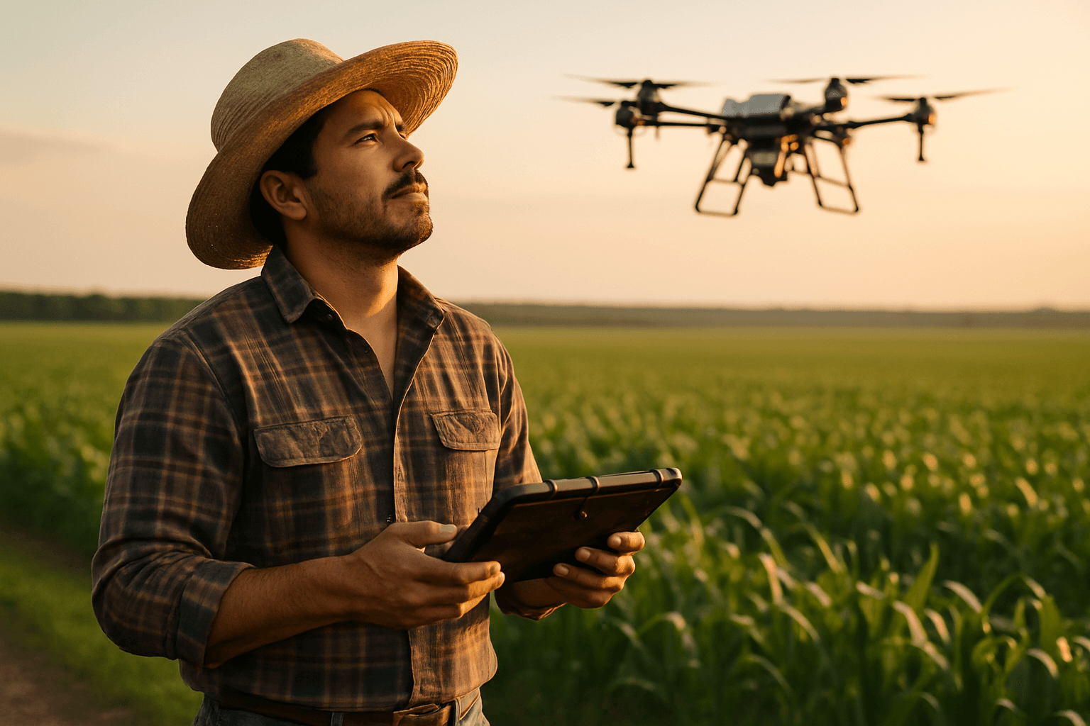
The agricultural landscape is undergoing a profound transformation, driven by innovative technologies that promise unprecedented efficiency and sustainability. At the forefront of this revolution are farm drones, or Unmanned Aerial Vehicles (UAVs), equipped with specialized payloads that provide farmers with critical, real-time insights and operational capabilities. These advanced tools are redefining precision agriculture, allowing for data-driven decisions that optimize yields, conserve resources, and minimize environmental impact.
The Rise of Drones in Precision Agriculture
Drones have emerged as essential tools in modern farming, offering advantages such as reduced implementation costs and the ability to execute tasks significantly faster than traditional methods, often up to 68 times quicker, covering large areas rapidly. Their ability to collect comprehensive information on soil and crop conditions, including pH levels, soil types, and chemical content, empowers farmers with actionable data for tailored interventions. This versatility enhances agricultural productivity through precise crop monitoring, targeted input application, and efficient water management.
Essential Payload Categories for Precision Agriculture
The effectiveness of agricultural drones hinges on the sophisticated payloads they carry, each designed for specific data collection or application tasks. These payloads enable farmers to move beyond guesswork, embracing a future of hyper-targeted interventions.
Multispectral and Hyperspectral Sensors
Multispectral sensors capture light across multiple specific spectral bands, often including near-infrared, providing a comprehensive view of environmental conditions that is invisible to the human eye. These sensors are paramount for:
- Precision Crop Monitoring: Detecting early signs of stress, nutrient deficiencies, pest or disease outbreaks before visible symptoms appear. Healthy plants reflect high amounts of near-infrared light, and changes in this reflection can indicate stress.
- Optimizing Resource Application: Informing variable rate applications of fertilizers, pesticides, and water by identifying specific zones requiring attention, thereby reducing waste and costs.
- Yield Prediction: Estimating crop yields based on spectral data, aiding in better planning and resource management.
- Soil and Water Analysis: Assessing soil properties, moisture levels, and water quality.
Hyperspectral sensors take this a step further, capturing light from hundreds of narrow spectral bands, offering even deeper insights into material identification, chemical composition analysis, and subtle changes in plant physiology, soil composition, or pollutants that multispectral systems might miss.
RGB Cameras (Visual Imaging)
High-resolution RGB cameras, which capture natural color images, serve as fundamental payloads for general observation and mapping. Their applications include:
- General Crop Mapping: Providing visual assessments of plant health and growth patterns.
- Crop Density Estimation: Assisting in determining the overall density of crops.
- Detection of Damaged Areas: Visually identifying areas affected by weather, pests, or other issues.
- Basic Farm Inspections: Useful for creating marketing materials or conducting routine checks.
Thermal Cameras
Equipped with specialized infrared cameras, thermal drones generate detailed maps displaying temperature variations across fields. This technology is invaluable for:
- Irrigation Management: Identifying areas of water stress or inefficient water distribution due to variations in soil moisture and plant transpiration.
- Pest and Disease Detection: Pinpointing “hotspots” of pest activity or disease, as stressed plants often exhibit different thermal signatures.
- Livestock Monitoring: Observing livestock from aerial perspectives to identify variations in body temperature that may indicate health issues, even at night.
- Soil Health Assessment: Revealing differences in soil moisture, composition, and compaction that influence crop viability.
LiDAR Systems (Light Detection and Ranging)
LiDAR systems mounted on drones use laser beams to create highly accurate 3D models of terrain and vegetation, revolutionizing 3D mapping in agriculture. Key applications include:
- Detailed Terrain Analysis: Generating precise topographic maps to highlight elevation changes, drainage issues, and optimize land leveling. This is crucial for planning irrigation systems and preventing runoff.
- Crop Structure Analysis: Measuring plant height, canopy density, and biomass, which is vital for yield prediction and optimizing fertilizer application.
- Volume Calculation: Useful for assessing the volume of stockpiles or changes in landscape features.
- Soil Condition Evaluation: Contributing to the assessment of soil conditions and erosion control.
Spraying and Spreading Systems
Drone-mounted spraying and spreading systems allow for the precise, targeted application of various inputs. These systems provide significant benefits:
- Targeted Application: Delivering fertilizers, pesticides, herbicides, and even seeds only where and when needed, reducing overall chemical use by up to 35%. This minimizes chemical runoff and environmental impact.
- Efficiency and Coverage: Drones can cover large areas quickly, reaching challenging terrains or wet fields where traditional ground machinery might be inefficient or cause soil compaction.
- Reduced Labor and Cost: Lowering the need for manual labor and expensive heavy machinery.
- Spot Treatment: Effectively spot-spraying weeds or applying fungicides in specific problem areas.
Environmental and Other Sensors
Beyond the primary imaging and application payloads, other sensors contribute to comprehensive farm management:
- Microwave Sensors: Offer unique capabilities for assessing soil properties and environmental conditions.
- IoT (Internet of Things) Sensors: While often ground-based, their integration with drone data provides real-time, granular information on environmental parameters like soil moisture and temperature, leading to site-specific prescriptions.
Optimizing Payload Selection for Farm Operations
Choosing the right drone payload depends on specific agricultural needs, crop types, farm size, and the challenges faced. The synergy of aerial drone data with AI-driven analytics platforms allows for the blending of aerial and terrestrial data, creating site-specific prescriptions for irrigation, fertilization, and planting strategies. This data-driven approach leads to increased efficiency, significant cost savings, and enhanced environmental sustainability.
The Future of Drone Payloads in Agriculture
The innovation in drone payloads for agriculture shows no signs of slowing. Future advancements are expected in increased spectral range and sensitivity for sensors, improved imaging resolution, and continued integration with AI, IoT, and blockchain technologies. This will enable fully autonomous farm management cycles, seamless integration with robotics, and end-to-end farm automation, paving the way for truly sustainable and high-yield farming practices worldwide.
In conclusion, the diverse array of payloads available for farm drones—from sophisticated multispectral and hyperspectral cameras to precision spraying systems and LiDAR — are indispensable tools for modern agriculture. They empower farmers with unparalleled accuracy and actionable insights, making resource management more efficient and environmentally responsible, and ensuring a resilient future for global food production.


