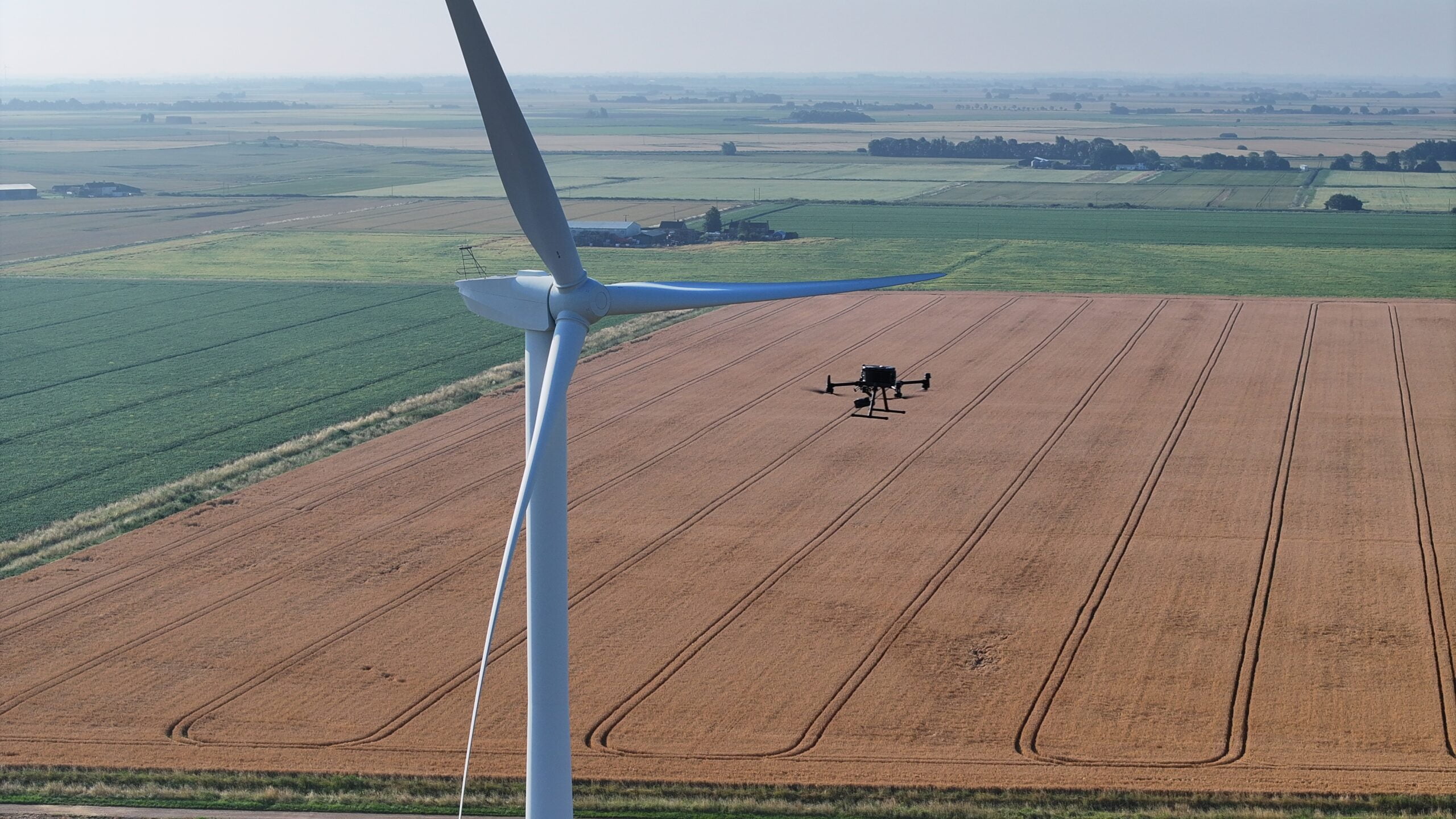
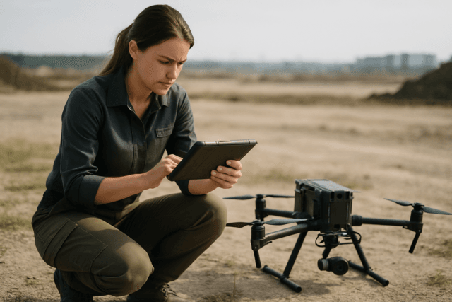
In our era, where energy efficiency demands immediate attention, utilising advanced technologies to detect and mitigate energy losses is paramount. One revolutionary approach involves deploying drones equipped with thermal imaging technology to perform heat loss surveys.
Thermography and Energy Loss Detection
Thermography serves as a powerful tool for swiftly identifying passive energy losses in buildings. By examining energy losses through air leakage, specialists can manipulate air pressures within buildings using specialised door fans. This airflow highlights subtle temperature changes in the materials where air is leaking, visible on thermal images, pinpointing precisely where energy losses occur. This method even allows introducing visual mediums, such as smoke, to demonstrate how air leakage and energy losses transpire.
Understanding energy loss through a building envelope empowers clients to effectively reduce energy losses and maintain desired internal environmental conditions.
The Importance of Calculating Heat Loss
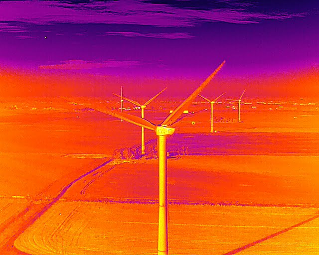
Calculating a facility’s heat loss is critical for several reasons, including:
- Operator Comfort: Thermal energy loss affects the surrounding area’s temperature, potentially leading to poor operator comfort and performance.
- Heating and Power Requirements: Measuring heat loss helps determine the heating and power needed to keep components at the appropriate temperature.
- Regulatory Compliance: Heat loss measurements help ensure buildings and components meet regulatory requirements.
- Cost Assessment: A heat survey allows for evaluating energy requirements and the costs of operating different systems.
Drone Thermal Heat Loss Surveys
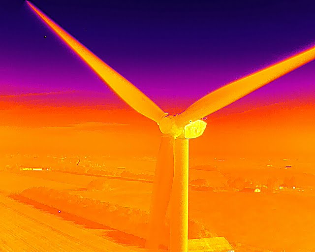
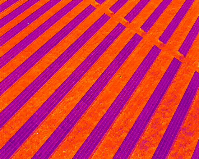
A drone thermal heat loss survey is an innovative technique that leverages thermal imaging technology to identify potential heat loss areas within buildings or structures. Drones equipped with specialised thermal cameras capture high-resolution thermal images from an aerial perspective, revealing temperature variations across different surfaces. These variations indicate insulation deficiencies, air leaks, or other factors contributing to energy inefficiencies.
Advantages of Drone Thermal Surveys
- Non-Invasive: Conducted remotely, these surveys do not disrupt normal operations, making them ideal for assessing hard-to-reach or hazardous areas.
- Cost-Effective: This method provides a quick and efficient way to assess the thermal performance of a building, allowing owners to prioritise energy efficiency upgrades and investments to optimise energy usage and reduce utility costs.
Advanced Drone Technology for Thermal Surveys
DJI M350 Series and H20T Camera
The DJI M350 series, combined with the powerful H20T camera, is a transformative tool for thermal surveys. The H20T camera produces three image sets: a 12MP wide-angle image, a 20MP zoom image, and a 640×512 IR photo at each photo location. When used with DroneDeploy, the focus is on capturing IR thermal and zoom images to ensure comprehensive thermal mapping.
Mavic 3 Enterprise Thermal (M3T)
The Mavic 3 Enterprise Thermal (M3T) captures 12 MP wide-angle images and thermal images with a resolution of 640×512. This capability allows for precise thermal imaging, essential for identifying heat loss areas in buildings.
Software Solutions
DroneDeploy
DroneDeploy is a cloud-based mapping platform that simplifies the workflow of thermal surveys. It enables effective and efficient mapping, streamlining the process from data collection to analysis. The Thermal Roof Inspection app ensures high-overlap images on rooftops, providing the best quality results when processed (DroneDeploy).
FLIR Thermal Studio Suite
The FLIR Thermal Studio Suite manages thousands of thermal images and videos from various sources, including handheld thermal imaging cameras, unmanned aircraft systems (UAS), and optical gas imaging (OGI) cameras. This software offers advanced processing features essential for predictive maintenance, system troubleshooting, and enhancing productivity. An optional FLIR Route Creator plug-in can be added to streamline inspection workflows and simplify reporting.
Available in over 20 languages, FLIR Thermal Studio Suite is vital for producing professional thermal images and reports, making it invaluable for maintenance and system analysis.
DJI Thermal Analysis Tool 3
The DJI Thermal Analysis Tool 3 provides robust software solutions for analysing and processing thermal images. By identifying temperature information of critical areas, the software enables detailed analysis across numerous industrial applications, ensuring equipment operates safely and efficiently, preventing costly downtime.
Conclusion
Drone thermal surveys, powered by advanced technology like the DJI M350 series, H20T cameras, and DroneDeploy software, offer a transformative solution for identifying and mitigating energy losses. By leveraging these tools, professionals can efficiently capture and analyse thermal data, enhancing energy efficiency and driving innovation across various industries.
Adopt drone thermal surveys to revolutionise your approach to energy efficiency. With state-of-the-art drone solutions and expert support, you can achieve significant improvements in energy conservation and sustainability.

