Drone surveying has revolutionized geospatial data collection, enabling highly detailed and accurate mapping and modeling. The raw data captured by drones, whether through photogrammetry (RGB, thermal, or multispectral images) or LiDAR, requires specialized software for processing, analysis, and transformation into actionable deliverables. These software solutions are crucial for generating 2D orthomosaics, 3D models, digital elevation models (DEMs), digital surface models (DSMs), point clouds, and various analytical outputs.
Key Software Categories and Leading Solutions
The software landscape for drone survey data processing can be broadly categorized by the underlying technology used for data acquisition: photogrammetry or LiDAR. Some platforms offer comprehensive solutions that handle both.
Photogrammetry Software
Photogrammetry software processes overlapping 2D images captured by drones to create 3D models and maps. This involves a complex process of image stitching, 3D reconstruction, and georeferencing.
- PIX4Dmapper: Widely regarded as a leading photogrammetry software, PIX4Dmapper transforms aerial and ground images into accurate, georeferenced maps and 3D models. It supports various image types, including RGB, thermal, and multispectral, and offers advanced data processing for precise results, including automatic point cloud classification and detailed quality reports. PIX4Dmatic is a next-generation solution designed for larger datasets, promising faster processing.
- Agisoft Metashape: This is another highly recommended solution, particularly for multispectral payloads, making it suitable for applications in agriculture and environmental research. It is known for its efficiency, especially when utilizing GPU acceleration.
- DJI Terra: Specifically designed for DJI Enterprise drones and payloads, DJI Terra is a 3D model reconstruction software with photogrammetry as its core technology. It supports 2D and 3D reconstruction from visible light data and integrates with DJI LiDAR for comprehensive processing. It allows users to generate realistic 3D models and point clouds quickly and offers export to industry-compatible formats.
- DroneDeploy: This is a comprehensive, cloud-based platform that provides an all-in-one solution for drone mapping and analysis, suitable for industries such as construction, energy, and agriculture. It’s known for intuitive workflows, rapid data processing, and scalable project management.
- ESRI Site Scan for ArcGIS: An industry-leading, end-to-end cloud-based drone mapping platform, Site Scan for ArcGIS is recommended for 3D outputs and offers seamless access to ArcGIS for advanced analytics and hosting. It supports the entire workflow of drone imagery data, including planning, capturing, processing, and analyzing. ArcGIS Drone2Map is a desktop-based alternative for offline processing.
- Correlator3D: This software is noted for its fast processing times, often outperforming other solutions in certain datasets.
- OpenDroneMap (ODM): An open-source option for desktop drone mapping software.
- Maps Made Easy: This web-based platform offers an affordable, pay-as-you-go model, making it a good entry point for beginners.
- DroneMapper: Provides desktop photogrammetry software, REMOTE EXPERT and RAPID, for Windows applications. These generate orthomosaics and DEMs, with REMOTE EXPERT handling up to 10,000 images per project.
LiDAR Processing Software
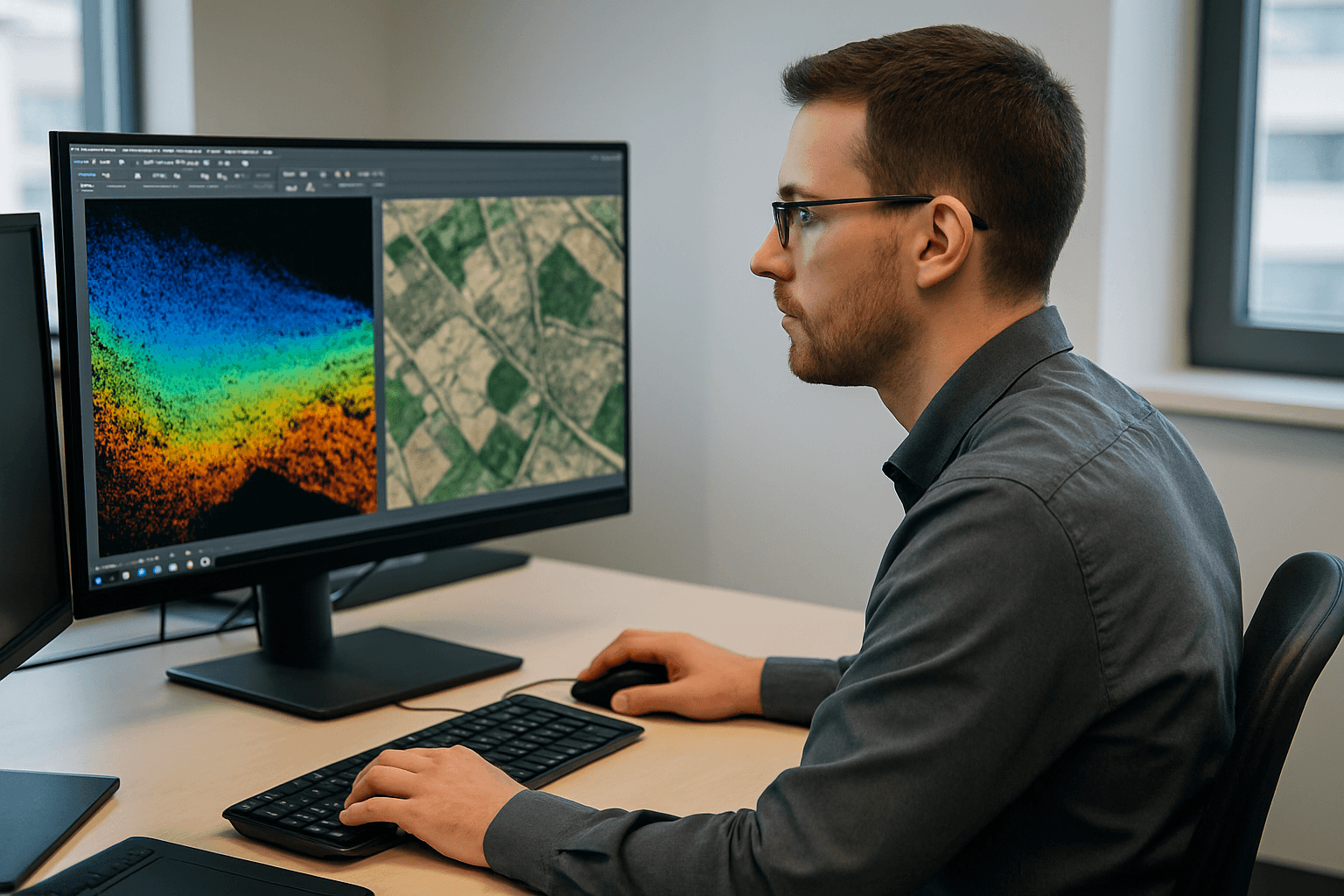
LiDAR (Light Detection and Ranging) systems on drones capture highly accurate 3D point cloud data using pulsed lasers. Specialized software is then required to process this raw data into usable models and maps.
- LP360 Drone: This is a core product for drone geospatial data workflows, maximizing LiDAR and imagery data with capabilities for visualization, quality assurance/quality control (QA/QC), classification, 3D editing, and analysis. It offers powerful point cloud visualization and comprehensive tools for generating digital elevation models and volume calculations.
- DJI Terra: As mentioned, DJI Terra also supports LiDAR data processing in conjunction with DJI LiDAR payloads.
- Terrasolid: A leading software suite for point cloud and image processing, Terrasolid is designed for demanding geospatial, engineering, and environmental applications. It offers versatile tools for creating 3D vector models, feature extractions, orthophotos, and advanced point cloud visualizations.
- CHCNAV CoPre: This comprehensive LiDAR processing software allows immediate access to raw data from CHCNAV LiDAR systems. It offers functionalities like trajectory processing, point cloud and image georeferencing, colorization, filtering, and Digital Ortho Model (DOM) generation.
- Routescene: Offers 3D LiDAR mapping software specifically designed to visualize and process LiDAR data, aiming to significantly reduce processing time.
Integrated and Specialized Solutions
Beyond the primary photogrammetry and LiDAR categories, some solutions offer integrated workflows or specialize in specific aspects of drone survey data utilization:
- Virtual Surveyor: This software focuses on transforming drone data into lightweight CAD models, enabling users to create line surveys, contours, toposurfaces, stockpile reports, and cut-and-fill analyses. It aims to bridge the gap between drone data and civil design software.
- DroneDesk: While primarily a flight management solution, DroneDesk integrates with mapping for a complete operations hub.
- ArcGIS Image Analyst for ArcGIS Pro: Provides advanced tools for image interpretation, exploitation, and geospatial analysis on drone and motion imagery.
The choice of software ultimately depends on the specific project requirements, the type of data collected (photogrammetry, LiDAR, or multispectral), the desired outputs, accuracy needs, budget, and the user’s existing hardware and software ecosystem. Many leading solutions offer robust features for accurate measurements, advanced analysis, and seamless integration with other industry-standard GIS and CAD software.


