In an era where Unmanned Aerial Vehicles (UAVs), commonly known as drones, are becoming increasingly ubiquitous, their integration into security and surveillance operations offers unprecedented capabilities. However, with expanded utility comes increased responsibility and the critical need for controlled operation. This is where geofencing emerges as a cornerstone technology, providing virtual boundaries to ensure drones operate safely, legally, and effectively within designated perimeters, thereby safeguarding sensitive areas and mitigating risks.
What is Geofencing for Drones?
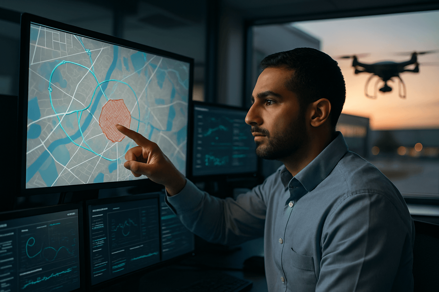
Geofencing, in the context of drones, involves establishing virtual geographic boundaries that dictate where a drone can and cannot fly. These invisible fences are essentially programmed perimeters around real-world locations, using Global Positioning System (GPS) coordinates or other location-based technologies like Wi-Fi, RFID, cellular data, or Bluetooth beacons to define their boundaries. When a drone approaches or attempts to cross a geofenced area, the system triggers a predefined response, such as issuing a warning to the pilot, restricting the drone’s flight path, automatically landing the drone, or even preventing takeoff.
The European Union Aviation Safety Agency (EASA) defines geofencing as a function primarily used to provide remote pilots with information on the drone’s position, airspace requirements, and limitations, with the added capability to restrict access to certain areas. This technology is a vital safeguard, ensuring drones do not breach designated zones like restricted airspace or no-fly zones.
Static vs. Dynamic Geofencing
Geofencing can be broadly categorized into two types:
- Static Geofencing: These are fixed, permanent boundaries pre-programmed into the drone’s software. They typically encompass sensitive areas such as airports, military bases, government buildings, and national parks, where drone flights are consistently restricted for safety and security.
- Dynamic Geofencing: This more flexible type allows boundaries to change based on predetermined criteria, such as real-time weather conditions, temporary flight restrictions, or emergency situations. This adaptability provides operators with a higher degree of flexibility for mission-specific needs.
Why Geofencing is Crucial for Security Drone Operations
The implementation of geofencing in security drone operations offers a multitude of benefits, enhancing safety, privacy, and regulatory compliance.
Enhancing Airspace Safety
The primary objective of geofencing is to maintain the safety of a given airspace. It prevents drones from entering dangerous areas or restricting access to sensitive ones, such as airports or restricted airspaces, significantly reducing the risk of collisions with manned aircraft or interference with critical operations. Instances of unauthorized drones entering sensitive airspaces, including airports and military installations, highlight the critical need for such preventative measures.
Ensuring Airspace Privacy
Geofencing plays a significant role in protecting privacy in sensitive areas. It can prevent drones from flying over private properties, schools, or residential areas, addressing concerns about noise, intrusion, and potential security breaches. By restricting drone activity to specific, authorized zones, it helps maintain public trust and respect for privacy.
Regulatory Compliance and Enforcement
Regulatory agencies worldwide, such as the Federal Aviation Administration (FAA) in the United States and EASA in Europe, emphasize geofencing requirements to prevent drones from entering restricted areas. Geofencing facilitates compliance with these regulations, helping drone operators fly within legal limits and avoid unintentional infringements and associated penalties. It also simplifies compliance documentation and provides detailed audit trails.
Preventing Unauthorized and Illegal Activity
Geofencing acts as a formidable deterrent against malicious or unauthorized drone use. It can prevent drones from being used for illicit activities like smuggling contraband into prisons or infiltrating secure facilities. By enforcing predefined no-fly zones, it adds a crucial layer of security, making it harder for unauthorized drones to pose threats.
How Geofencing Works: The Underlying Technology
The functionality of drone geofencing relies on a sophisticated interplay of positioning technologies, software, and predefined rules.
Positioning Technologies
At its core, geofencing utilizes GPS (Global Positioning System) coordinates to define the virtual boundaries. Drones are equipped with GPS receivers that continuously pinpoint their location by triangulating signals from multiple satellites. This real-time location data is constantly communicated to the drone’s software. While GPS is paramount, other location technologies like Wi-Fi, RFID, cellular data, and Bluetooth beacons can also be integrated to enhance accuracy and battery efficiency.
For even higher precision, advanced drones often incorporate Real-Time Kinematic (RTK) GPS technology. RTK systems use a base station with a precisely surveyed location that continuously receives raw GPS data from satellites. This base station calculates real-time corrections and transmits them to the drone, refining its GPS coordinates to centimeter-level accuracy. This precision is particularly valuable for security applications requiring exact boundary enforcement.
Software and Logic
The drone’s onboard software or a specialized application continuously compares the drone’s current location with the defined geographical boundaries. Manufacturers like DJI integrate geofencing systems directly into their drones, using GPS and other navigational satellite signals to warn or restrict operators.
When a drone approaches a geofenced area, the system can trigger various actions:
- Warnings: The pilot receives visual or auditory alerts, informing them they are nearing a restricted zone.
- Flight Path Restriction: The drone’s flight control system can automatically prevent it from entering the defined no-fly zone, redirecting its course.
- Automatic Landing: In more critical scenarios, the system may initiate an automatic landing outside the restricted area.
- Takeoff Prevention: For highly sensitive zones, the drone may be prevented from taking off within the geofenced area altogether.
Some systems, such as DJI’s GEO 2.0, apply the strictest restrictions to areas around airport runways and flight paths, using “bow-tie” shaped zones to increase protection where traditional aircraft operate.
Challenges and Limitations in Geofencing Implementation
Despite its numerous advantages, geofencing for drones is not without its challenges and limitations.
Accuracy and Reliability Issues
Geofencing relies heavily on GPS and other navigation systems, which can be affected by factors such as satellite signal strength, atmospheric interference, and multipath interference. These issues can lead to inaccuracies or reliability problems with certain geofencing systems, potentially causing false alarms or unintended restrictions.
Database Updates and User-Friendliness
The effectiveness of geofencing depends on regularly updated databases of restricted areas to reflect changes in airspace regulations. Furthermore, the process of manually loading geo-zones into drones can be challenging for users, varying across different brands and models, which can lead to confusion and frustration. A lack of foolproof operation, where a single error in a data file can prevent correct loading, raises concerns about system reliability.
Bypass Potential
While geofencing provides a significant deterrent, it’s important to acknowledge that some systems can be bypassed, particularly if a drone is custom-built without the technology or if authorized unlocking procedures are misused. The responsibility of compliance ultimately rests with the drone operator, and a lack of awareness of regulations can still lead to dangerous situations.
Regulatory Alignment
There can be discrepancies between proprietary geofencing systems (like DJI’s GEO system) and official regulatory mandates (like FAA rules). While manufacturers’ systems aim to enhance safety, they may not always align perfectly with all government designations, requiring operators to seek separate authorizations from both the manufacturer and the relevant aviation authority.
The Future of Geofencing in Security Drone Operations
As drone technology continues to advance, so too will geofencing capabilities. The trend is towards more sophisticated and integrated systems that can adapt to complex and dynamic environments.
Advanced Geofencing Capabilities
Future developments may include even more precise geofencing, potentially integrating with real-time sensor data and AI to create highly adaptable and responsive virtual perimeters. This could involve “geofence bumpers” that adjust buffer areas based on drone speed or positional uncertainty to prevent violations more effectively.
Integration with UAS Traffic Management (UTM)
Geofencing is expected to play an increasingly advanced role in the development and implementation of Unmanned Aircraft System Traffic Management (UTM) systems. UTM aims to manage drone operations safely and efficiently within the airspace, and geofencing is a key element in preventing unauthorized drones from violating controlled or restricted airspace. The European Commission’s U-Space initiative, for example, is establishing a harmonized regulatory system for UTM that will rely heavily on such features.
Enhanced Compliance and Security Frameworks
As drone usage expands, particularly in security and surveillance, there will be a continued push for a more robust regulatory framework that mandates and standardizes geofencing across all drone manufacturers. This will ensure consistent safety and security measures across the industry, further integrating drones safely into public and private airspace.
In conclusion, geofencing is an indispensable tool for implementing secure drone operations. By creating virtual boundaries and enforcing flight restrictions, it significantly contributes to airspace safety, privacy, and regulatory compliance. While challenges exist, ongoing technological advancements and regulatory developments are continuously refining geofencing capabilities, solidifying its role as a critical component in the responsible and effective deployment of drones for security.


