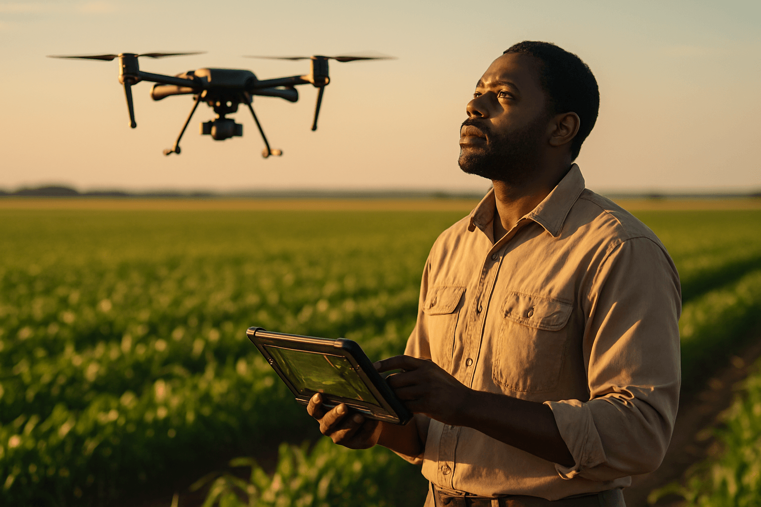
Drones, also known as Unmanned Aerial Vehicles (UAVs) or Unmanned Aircraft Systems (UAS), are rapidly transforming agricultural land surveying and management, ushering in an era of precision agriculture. These aerial marvels provide farmers with unprecedented insights into their crops and land, enabling data-driven decisions that optimize yield and resource management. The integration of drones offers significant advantages over traditional surveying methods, including increased efficiency, cost-effectiveness, improved safety, and the ability to access hard-to-reach areas.
Enhanced Crop Monitoring and Health Assessment
One of the most significant applications of drones in agricultural land surveying is comprehensive crop health monitoring. Drones equipped with various advanced sensors and cameras capture high-resolution aerial imagery, providing a detailed view of crop conditions across vast areas. This allows farmers to:
Early Detection of Issues
Drones can identify early signs of pest infestations, diseases, nutrient deficiencies, or water stress, often before they are visible to the naked eye. By analyzing the reflectance of light at different wavelengths, drone-collected data can reveal plant stress, enabling timely intervention to mitigate damage and prevent yield losses.
Precise Data Collection for Informed Decisions
UAVs are equipped with advanced sensors that capture multispectral, hyperspectral, and thermal data, providing a wealth of information on crop health. This data allows farmers to make informed decisions about resource management, irrigation, and other aspects of crop care. For example, multispectral cameras can assess chlorophyll content, which correlates with plant health and vigor, while thermal imaging can identify water stress.
Optimizing Land Management and Planning
Beyond crop health, drones offer crucial tools for better land management and planning within agricultural landscapes.
Detailed Terrain and Soil Analysis
Drones can create detailed 3D maps of agricultural land, providing valuable insights into soil composition, moisture levels, and topography. This enables farmers to:
- Measure salinity and soil type.
- Identify areas prone to erosion or waterlogging.
- Plan irrigation and drainage systems effectively.
- Assess nitrogen levels and other chemical content.
Accurate Mapping and Surveying
Drones can survey large areas quickly, reducing the time and manpower required compared to traditional ground-based methods. They generate high-resolution maps and models, including orthomosaics, 3D maps, point clouds, and contour maps, which are compatible with existing Geographic Information System (GIS) software. This allows farmers to:
- Delineate field boundaries.
- Track changes in land use.
- Plan seed planting patterns.
- Assess stand counts for early season crop evaluation.
Precision Agriculture Applications
The data collected by drones fuels various precision agriculture practices, leading to more efficient and sustainable farming.
Targeted Input Application
Drones enable the precise application of fertilizers, pesticides, and water by identifying specific areas of need. This targeted approach minimizes waste, reduces chemical usage, and lessens the environmental impact, such as runoff and leaching into water bodies.
Yield Prediction and Management
Advanced analytics applied to drone-collected data can provide accurate yield estimates, helping farmers plan for harvest and market demands. By analyzing crop maturity across entire fields, drones can assist in determining the optimal harvest time.
Irrigation Management
Detailed imagery of soil moisture levels helps farmers optimize irrigation strategies, conserving water and improving crop health. Multispectral data from drones can even help identify leaky irrigation pipes.
Key Drone Technologies and Sensors
The effectiveness of drones in agricultural land surveying relies heavily on the sophisticated sensors they carry.
Types of Sensors
Common sensors used in agricultural drones include:
- RGB Cameras: Standard cameras for high-resolution visual images.
- Multispectral (MS) Cameras: Capture images in multiple wavelengths beyond the visible spectrum, revealing crop health indicators invisible to the naked eye.
- Hyperspectral Cameras: Capture data across hundreds of narrow, contiguous spectral bands for highly detailed analysis of plant health.
- Thermal Cameras: Detect temperature variations, useful for assessing crop stress and monitoring irrigation.
- LiDAR (Light Detection and Ranging) Systems: Use laser beams to create detailed 3D maps of the terrain, aiding in elevation modeling, canopy analysis, and volumetric measurements.
- GPS Receivers: Provide accurate positioning and navigation for precise control of flight paths and data collection.
- NDVI Sensors: Specifically measure the health and vitality of crops by assessing reflectance in the near-infrared and red spectral bands.
Data Processing and Analysis
The large amounts of high-resolution data collected by drones, including multispectral, hyperspectral, and thermal images, are processed using advanced analytics. Artificial intelligence (AI) and machine learning (ML) algorithms play a crucial role in analyzing this data, providing actionable insights for crop health, soil quality, pest infestation, and nutrient deficiencies. Integration with IoT sensor networks and ground-level sensors further enhances the accuracy of data fusion.
Benefits Beyond the Fields
The adoption of drone technology in agricultural land surveying offers numerous benefits that extend beyond immediate crop and soil management.
Time and Cost Savings
Drones can survey extensive areas in a fraction of the time compared to traditional methods, leading to reduced labor and equipment costs. This efficiency allows farmers to identify and address issues quickly, preventing potential crop losses and optimizing resource use, which translates to long-term cost savings.
Environmental Advantages
Drone surveying contributes to more sustainable farming practices by:
- Reducing carbon footprint: Drones consume less energy than traditional surveying vehicles.
- Minimizing disturbance to ecosystems: Aerial surveys cause less disruption to sensitive habitats.
- Efficient resource management: Precise data enables more efficient use of water, fertilizers, and pesticides, reducing chemical runoff and emissions.
Improved Safety and Accessibility
Drones can access hazardous or hard-to-reach areas of farmland without putting surveyors at risk, making the process safer. This is particularly valuable for large fields or challenging terrain.
In conclusion, drones are transforming agricultural land surveying from a labor-intensive, often reactive process into a precise, proactive, and sustainable practice. Their ability to gather vast amounts of highly accurate, real-time data, combined with advanced analytical tools, empowers farmers to make informed decisions that enhance productivity, optimize resource allocation, and foster environmental stewardship.


