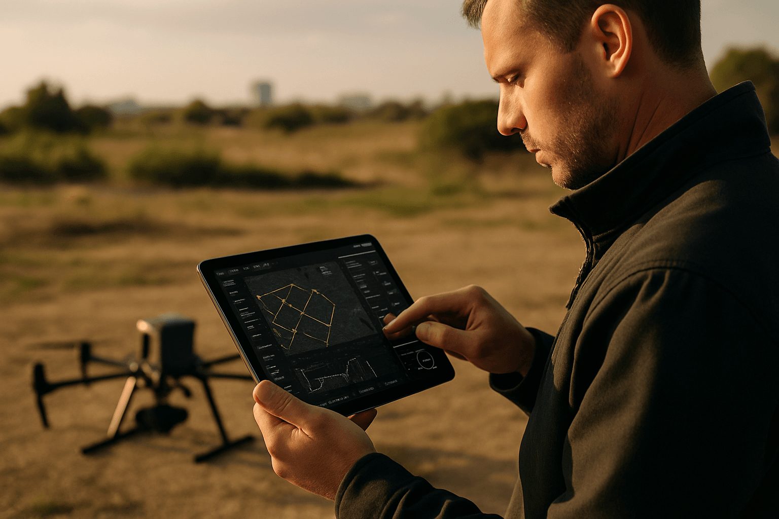
Drone technology has rapidly evolved, transforming various sectors from recreational flying to professional aerial photography, surveying, and even delivery services. As drones become more sophisticated, so do the apps that control and enhance their functionality. In 2025, drone pilots have access to a wide array of applications designed to improve flight safety, capture stunning visuals, manage airspace awareness, and automate complex missions. This article explores the best drone apps available this year, catering to both beginners and experienced professionals in the UK and beyond.
Essential Apps for Every Drone Pilot
Regardless of your experience level, certain apps are indispensable for safe and legal drone operation. These apps provide critical information and tools for flight planning, weather monitoring, and airspace awareness.
1. AirMap: Your Comprehensive Airspace Management Solution
AirMap is a leading drone tracking app that provides a robust airspace intelligence platform suitable for everyone from solo drone operators to large commercial operations.
- Key Features: Real-time airspace maps, automated LAANC (Low Altitude Authorization and Notification Capability) authorization, and flight planning tools. AirMap allows you to create detailed flight plans, taking into account airspace restrictions, terrain data, and weather conditions. You can pre-program waypoints, set altitudes, and define geofences to ensure your drone follows a precise flight path. Post-flight, AirMap automatically logs your flight data, which is valuable for compliance and analysis.
- Benefits: Ensures flights are safe and legal by providing up-to-date information about restricted airspace. Particularly useful in urban environments where airspace regulations can change frequently. Streamlines LAANC authorization, allowing near-instant approval to fly in controlled airspace.
- Considerations: While AirMap offers a free version with basic features, advanced functionalities like advanced flight planning and LAANC authorization require a paid subscription. New users may find the interface complex compared to simpler apps.
2. Drone Assist: UK’s Premier Flight Planning App
Drone Assist, developed by Altitude Angel, is a leading drone flight planning app, especially popular in the UK.
- Key Features: Identifies no-fly zones and potential ground hazards, ensuring safety and compliance. Facilitates digital approvals in UTM (Unmanned Traffic Management) Ready Zones. Offers a “Fly Now” feature for efficient pre-flight checks.
- Benefits: Tailored to British airspace, providing detailed maps and real-time updates on airspace restrictions. Helps both commercial and recreational drone operators plan their flights in advance and contribute to greater lower airspace awareness. The app is continuously updated with new features and offers multilingual support in Dutch and Spanish.
- Considerations: While popular in the UK, some features may need adaptation for international users.
3. UAV Forecast: Weather at Your Fingertips
Weather is a critical factor for drone flying, and UAV Forecast is a top choice for monitoring conditions.
- Key Features: Provides detailed weather information, including temperature, wind speed, cloud cover, visibility, and more. Allows users to set maximum drone capabilities (e.g., maximum wind speed) and indicates whether it’s safe to fly at a specific location.
- Benefits: Helps drone pilots make informed decisions about whether it is safe to fly, preventing potential accidents and equipment damage. The app provides hourly updates on weather conditions, including wind speed at different altitudes.
- Considerations: Requires users to input their drone’s specific limitations for accurate safety assessments.
Enhancing the DJI Experience: Apps for DJI Drones
DJI drones are among the most popular on the market, and several apps are designed to enhance their functionality and user experience.
4. DJI Fly/DJI Go 4: The Essential Companion Apps
DJI Fly and DJI GO 4 are official apps for managing DJI drones, offering essential control and features.
- Key Features: Real-time telemetry, camera control, and intelligent flight modes. DJI Fly is designed for newer drones like the Mavic Mini and Mavic Air series, offering a simplified user interface with helpful guides for beginners. DJI GO 4 is compatible with older models and provides a wider array of features, including live streaming and advanced camera controls.
- Benefits: Provide a user-friendly interface for controlling drone settings, camera, and flight modes. Offer live camera views, making it easy to line up shots and avoid obstacles.
- Considerations: While DJI Fly is great for beginners, more experienced pilots may prefer the broader feature set of DJI GO 4.
5. Litchi: Unleash Autonomous Flight Capabilities
Litchi is a powerful third-party app for DJI drones, known for its advanced autonomous flight features.
- Key Features: Waypoint navigation, object tracking, and VR support. Litchi allows you to plan waypoint missions ahead of time on your desktop and sync them to your mobile device. It also offers advanced camera control and customizable settings.
- Benefits: Unlocks a higher level of precision and control over drone functionality, making it ideal for creative and cinematic filming. The app has a strong community and mission-sharing capabilities. Features like panoramas and tiny planets that are automatically stitched together.
- Considerations: Litchi doesn’t receive official support from DJI, and it requires separate purchases for each platform (iOS, Android, etc.). New users should be aware of the steeper learning curve compared to more basic drone apps, requiring time and practice to master its advanced features.
Professional Drone Software Platforms
For commercial drone operations, specialized software platforms offer advanced mapping, data analysis, and fleet management capabilities.
6. DroneDeploy: Automate Drone Flights and Create Stunning Maps
DroneDeploy is a leading cloud-based platform for aerial mapping, modeling, and analysis.
- Key Features: Automated flight planning, high-resolution map and 3D model creation, and advanced analysis tools. DroneDeploy allows you to create detailed flight plans with just a few taps, automating missions for precise and repeatable results.
- Benefits: Simplifies drone operations across multiple sites, from flight planning to data analysis. Offers advanced analysis and reporting capabilities, including volumetric measurements, elevation profiling, and vegetation indices. Integrates with enterprise systems like Procore and John Deere.
- Considerations: While DroneDeploy offers a comprehensive solution, it may be more suitable for users requiring professional-grade tools. For recreational flyers or those with basic tracking needs, simpler and less expensive alternatives may be more appropriate.
7. Dronedesk: Streamline Drone Business Operations
Dronedesk is an all-in-one platform designed to streamline every facet of professional UAV work.
- Key Features: Flight planning, operational compliance, and client management tools. Dronedesk lets you plan missions with precision while ensuring you meet airspace restrictions, log your flights, and keep insurance and documents up to date.
- Benefits: Incorporates built-in safeguards that flag non-compliant operations before takeoff, ensuring missions are safe, legal, and well-documented. Offers automated compliance tools for airspace, insurance, and pilot records. Provides integrated CRM and invoicing for businesses.
- Considerations: Dronedesk is UK-based software, so some features may need adaptation for international users. It is not focused on photogrammetry or 3D modeling.
Additional Useful Apps
Besides the core apps mentioned above, several other tools can enhance your drone flying experience.
8. Tesla Field Recorder: Avoid Magnetic Interference
The Tesla Field Recorder is an invaluable app for ensuring safe and reliable drone flights in areas with potential magnetic interference.
- Key Features: Detects and records magnetic fields, helping you avoid areas where magnetic activity could affect your drone’s compass.
- Benefits: Helps prevent drone malfunctions caused by magnetic interference, ensuring safer flight operations.
- Considerations: Essential for flying in areas with known magnetic anomalies or potential sources of interference.
9. Google Maps: Scout Locations
Google Maps is an invaluable tool for pre-flight planning.
- Key Features: Search and find good locations to visit with your drone for recording videos and images. Examine an area to find the best place to launch your drone, saving valuable time.
- Benefits: Helps with reconnaissance, saving time on the day.
- Considerations: None.
10. SkyCandy: Golden Hour Calculator
SkyCandy is a sunset forecast app.
- Key Features: Predicts sunset and sunrise times, including golden hour.
- Benefits: Helps schedule shoots for golden hour and blue hour.
- Considerations: None.
11. Windy: Alternative Weather App
Windy is an alternative app that supplies drone pilots with useful information about weather conditions.
- Key Features: Detailed weather information.
- Benefits: Visualising weather conditions.
- Considerations: None.
12. Hover: Quick Overview
Hover provides a quick view of all necessary information for drone users.
- Key Features: Weather forecasts and the tracking of the drone’s flights, indicates no-fly zones.
- Benefits: Offers a quick and easy way to assess flight conditions and restrictions.
- Considerations: It is very popular and available on both iOS and Android.
Conclusion
In 2025, drone pilots have a wealth of apps and software platforms to choose from, each offering unique features and benefits. Whether you’re a recreational flyer or a commercial operator, selecting the right apps can significantly enhance your drone flying experience, improve safety, and ensure compliance with regulations. By leveraging these tools, you can unlock the full potential of your drone and capture stunning aerial imagery while operating responsibly and legally.


