Drones have soared in popularity, evolving from recreational gadgets to indispensable tools across diverse sectors. Powering this evolution is sophisticated drone software, the brains behind the brawn, enabling everything from autonomous flight to complex data analysis. This article explores the current landscape of drone software, highlighting key features, applications, and trends shaping the industry in 2025.
What is Drone Software?
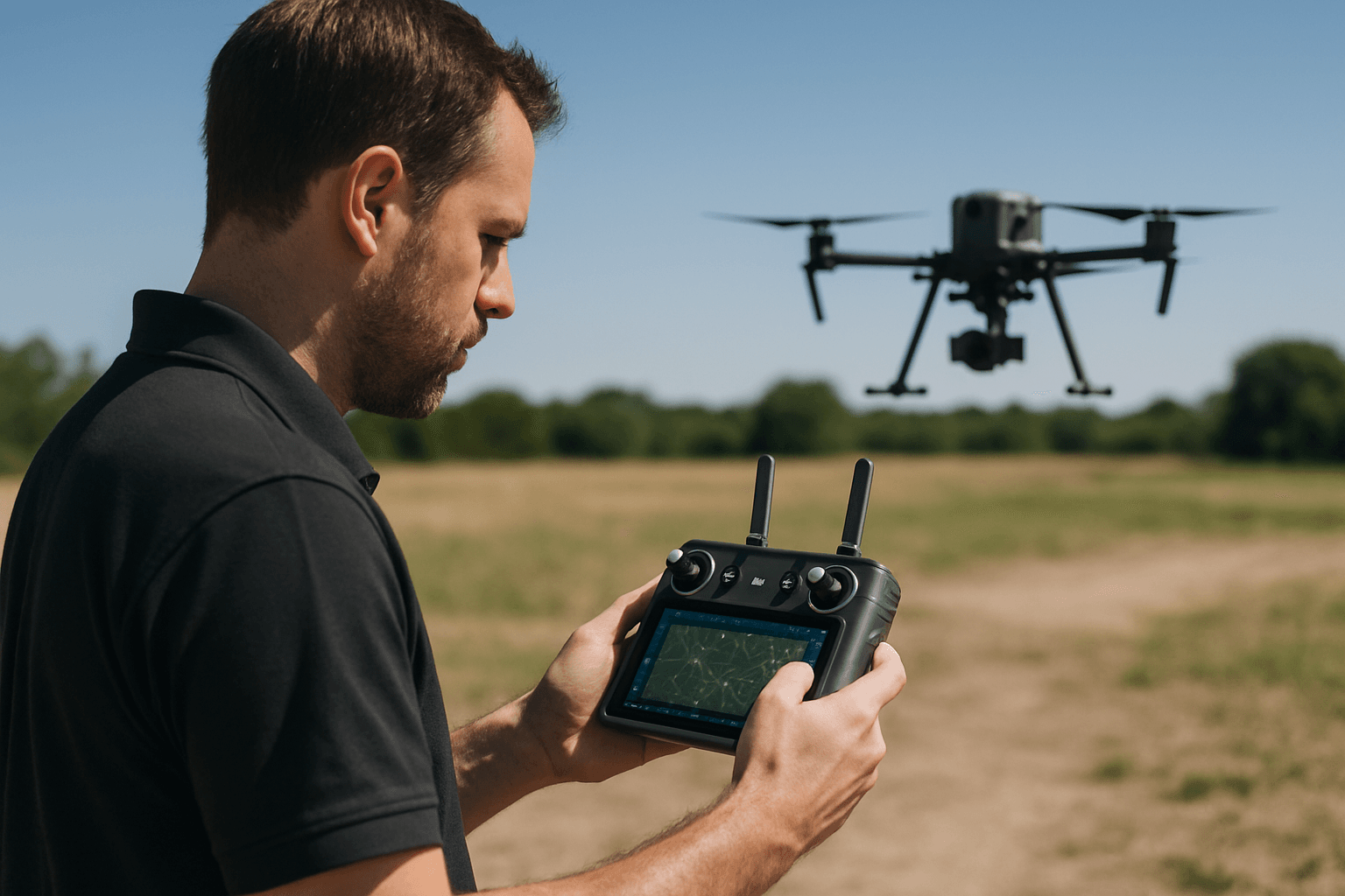
Drone software is a comprehensive suite of tools that allows users to control, manage, and analyze data from unmanned aerial vehicles (UAVs). Acting as the central intelligence system, it facilitates autonomous flight based on pre-programmed flight plans or manual instructions. Drone software unlocks various possibilities for innovation and transformation across industries.
Types of Drone Software
The drone software ecosystem is diverse, with various types catering to specific needs and applications. Here’s an overview of key categories:
Flight Planning and Control Software: This software is used to plan and control drone flights, set waypoints, plan routes, and monitor the drone’s flight status in real-time. Examples include DJI GO, DJI Ground Station Pro, and Pix4Dcapture.
Photogrammetry Software: Processes images captured by drones to create maps, 3D models, and point clouds. Examples include Agisoft Metashape, DroneDeploy, and WebODM.
Ground Control Systems (GCS): Improve the accuracy of images captured by survey-grade drones and facilitate data processing and analysis. GNSS Base Stations are an example.
Drone Manufacturer SDKs: Enable access to specific features and data from particular drone models, providing APIs to control both software and hardware interfaces. Examples include DJI Mobile SDK and ArduPilot GCS API.
Fleet Management Software: Allows operators to manage and coordinate multiple drones simultaneously, crucial for large-scale operations.
Specialized Mission-Specific Apps: Tailored for specific tasks such as inspections, agriculture, or search and rescue, with features optimized for those applications.
Key Features to Look For
When choosing drone software, consider the following features:
- Compatibility: Ensure the software is compatible with your drone model and operating system (iOS, Android, Web).
- Autonomous Flight Planning: Creating and executing flight paths automatically.
- Real-Time Data Processing: Analyzing information instantly for quick decision-making.
- AI and Machine Learning Integration: Helping drones detect and avoid obstacles automatically.
- Data Capture and Analysis: Generating orthomosaics, point clouds, 3D models, and conducting inspections.
- Fleet Management: Allowing a single operator to coordinate an entire fleet of drones.
- Regulatory Compliance: Ensuring adherence to aviation regulations and safety standards.
- Real-time Telemetry and Monitoring: Displaying real-time data such as battery status, speed, and height.
- Intuitive Flight Control Interface: User involvement and operational efficiency depend on an intuitive flight control interface.
- Payload Management and Control: Managing and controlling various payloads such as cameras, sensors, and delivery systems.
- Logging and Analysis: Providing detailed logs of flight data for analysis and improvement.
- Safety Features and Alerts: Including geofencing, obstacle avoidance, and low battery warnings.
- User Management and Security: Controlling access and permissions for different users.
- Software Updates and Maintenance: Ensuring the software is up-to-date with the latest features and security patches.
Top Drone Software Platforms in 2025
The drone software market is competitive, with numerous platforms vying for the top spot. Here are some of the leading platforms in 2025:
DroneDeploy: A leading cloud-based platform for aerial mapping, modeling, and data analysis. It offers an all-in-one solution for industries ranging from construction to agriculture. DroneDeploy simplifies drone operations, provides actionable data and mapping insights, and offers a user-friendly platform for teams to collaborate.
Pix4D: A robust photogrammetry software known for its accuracy and precision in generating high-quality maps and 3D models. Pix4D offers various pricing plans to cater to different needs and budgets. It supports the integration of photogrammetry and LiDAR data and provides tools for vectorizing and interpreting data.
DJI Terra: A comprehensive drone mapping and modeling software solution developed by DJI. It transforms images into digital 3D models or maps and allows users to plan, capture, and analyze data in one streamlined process.
DroneDesk: An all-in-one operations hub designed for drone businesses. DroneDesk shines as the ideal software for drone operators who need both strong administrative control and seamless mapping workflows. It streamlines workflows, from pre-flight planning and airspace checks to post-flight logging and reporting.
Agisoft Metashape: A powerful photogrammetry software widely used across various industries for creating highly accurate 3D models and maps from aerial and ground-based imagery. Metashape’s applications span archaeology, construction, environmental science, forestry, and mining.
FlytBase: Focuses on autonomous drone operations and fleet management. Its modular, hardware-agnostic design allows integration with various drones and docking stations, making it suitable for diverse enterprise applications. This platform excels in enabling BVLOS (Beyond Visual Line of Sight) operations.
AirMap: A leading drone tracking app, offering a robust airspace intelligence platform catering to a wide range of users. AirMap provides real-time airspace insights, automated flight authorizations, and sophisticated planning tools.
Applications Across Industries
Drone software is transforming various industries, including:
Construction and Infrastructure: Drone software like DJI Terra and PIX4Dmatic facilitates detailed site surveys, volumetric measurements, and progress tracking. These tools enable precise planning, monitoring, and documentation of construction projects, enhancing safety and efficiency on-site.
Agriculture: Drone software is used for crop health monitoring, yield estimation, and precision spraying, optimizing resource utilization and improving crop yields.
Emergency Response and Public Safety: Drones equipped with specialized software are used for search and rescue operations, disaster assessment, and law enforcement, providing critical information in emergency situations.
Real Estate and Urban Planning: Drone software provides aerial imagery and 3D models for property visualization, site planning, and urban development, aiding in decision-making and attracting potential buyers or investors.
Energy and Utilities: Drones are used for inspecting power lines, wind turbines, and solar panels, detecting potential issues and preventing costly downtime.
Mining and Quarries: Drone software is used for stockpile measurement, site mapping, and tracking changes over time, allowing for safer and more efficient management of resources and operations.
Environmental Monitoring and Conservation: Drones are used for wildlife monitoring, deforestation detection, and pollution monitoring, providing valuable data for conservation efforts.
Insurance and Asset Inspection: Drones are used for assessing damage to properties, inspecting bridges, and evaluating infrastructure, providing accurate and timely information for insurance claims and maintenance planning.
Emerging Trends
The drone software landscape is rapidly evolving, driven by technological advancements and changing user demands. Key trends include:
- AI and Machine Learning Integration: Drone software is increasingly incorporating AI and machine learning to enable real-time data analysis, autonomous navigation, and object detection, improving decision-making and operational efficiency.
- Cloud-Based Solutions: Cloud-based drone software platforms are gaining popularity, offering scalability, collaboration, and accessibility from anywhere with an internet connection.
- Real-Time Data Processing: Software is now capable of processing data in real-time, providing immediate insights and enabling quick decision-making in dynamic environments.
- Digital Twins: Drone software is being used to create digital twins of physical assets, allowing for virtual walkthroughs, inspections, and simulations.
- Enhanced Automation: Automation is increasing in drone software, enabling autonomous mission planning, execution, and data analysis, reducing the need for human intervention.
- Improved Integration: Drone software is increasingly integrating with other software systems, such as GIS, CAD, and BIM, streamlining workflows and improving data sharing.
- Focus on Safety and Security: Drone software developers are prioritizing safety and security, implementing features such as geofencing, obstacle avoidance, and data encryption to ensure safe and secure drone operations.
Legal Considerations
When developing and using drone software, it’s crucial to consider legal and regulatory requirements, including:
- Data Privacy Regulations: Ensuring compliance with data privacy regulations such as GDPR when collecting and processing personal data.
- Airspace Limits: Adhering to airspace restrictions and obtaining necessary permits and authorizations for drone operations.
- Aviation Authorities: Following the regulations and guidelines set by aviation authorities such as the FAA (in the US), EASA (in Europe), and the CAA (in the UK).
- No-Fly Zone Enforcement: Implementing geofencing and other mechanisms to prevent drones from entering restricted areas.
The Future of Drone Software
The future of drone software is bright, with continued innovation and development expected in the coming years. As drones become more sophisticated and regulations evolve, drone software will play an increasingly critical role in unlocking their full potential. Expect to see more advanced AI-powered features, greater automation, and seamless integration with other technologies, transforming industries and creating new opportunities for drone applications.


