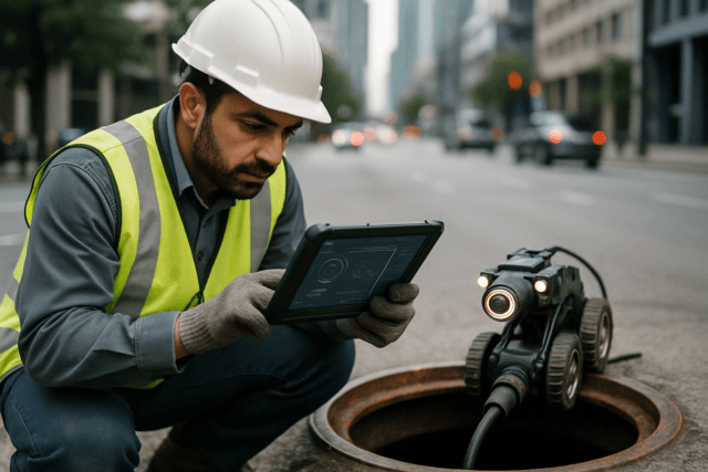
AAI Drones empower professionals to create highly detailed 3D models and maps using two powerful techniques: photogrammetry and LiDAR. This guide explores these methods in-depth, covering their underlying technologies, software solutions, and real-world applications. Whether monitoring construction progress or mapping forest ecosystems, gain insights to harness the full potential of AAI Drones for your spatial data needs.
Photogrammetry
What is Photogrammetry?
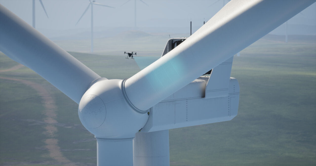
Photogrammetry is the science of making precise measurements from photographs and deriving 3D models of objects or environments. It involves capturing overlapping 2D images from different angles and using specialized software to reconstruct the 3D geometry.
How Photogrammetry Works
The photogrammetry process can be broken down into three main steps:
1. Image Acquisition
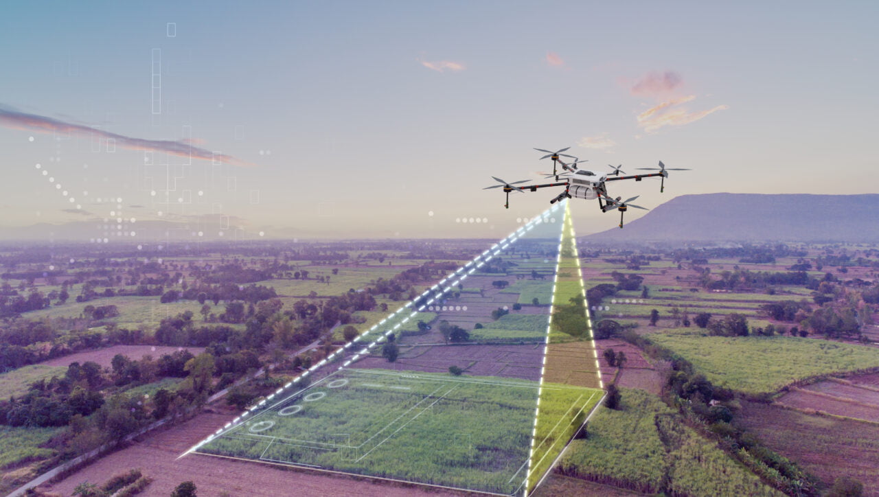
AAI drones equipped with high-resolution cameras fly over the area of interest, capturing a series of overlapping photographs from different positions and angles. Precise GPS data is recorded for each image.
2. Image Processing
The images are imported into photogrammetry software like Pix4D or Agisoft Metashape. The software identifies common tie points across the images and calculates their 3D coordinates using the principles of triangulation.
3. 3D Reconstruction
Using the tie point coordinates and camera positions, the software reconstructs the 3D geometry as a point cloud, mesh, or textured model. This digital 3D representation can then be used for measurements, analysis, and visualization.
Photogrammetry Technology
Cameras
High-resolution digital cameras with large image sensors are preferred for photogrammetry to capture detailed imagery. Popular choices include the Sony A7R series, Canon 5D series, and DJI cameras integrated into drones.
Drones
AAI drones like the DJI Mavic 3 and Autel EVO series are designed for stable aerial imaging. They have precise GPS, obstacle avoidance, and flight planning capabilities to ensure accurate image capture.
Photogrammetry Software
Pix4D
Pix4D is a leading photogrammetry software suite with modules for various applications like Pix4Dmapper for general 3D mapping and Pix4Dfields for agriculture.
Agisoft Metashape
Metashape from Agisoft is renowned for its accuracy and user-friendly interface. It offers advanced tools for processing aerial and terrestrial imagery.
DroneDeploy
DroneDeploy is a cloud-based platform that simplifies the photogrammetry workflow, from flight planning to 3D model generation, with an emphasis on ease of use.
Accuracy of Photogrammetry
The accuracy of photogrammetric models depends on various factors like image quality, camera calibration, and processing settings. Under optimal conditions, consumer drones like the DJI Mavic 3 can achieve horizontal accuracy of 1-3 cm and vertical accuracy of 3-5 cm.
Applications of Photogrammetry
- Construction: Monitoring progress, site planning, and as-built documentation.
- Agriculture: Crop health analysis, yield estimation, and field mapping.
- Mining and Quarries: Stockpile measurements and site monitoring.
- Archaeology: Documenting excavation sites and creating 3D records of artifacts.
- Inspection: Detailed 3D models of infrastructure like bridges, towers, and buildings.
LiDAR
What is LiDAR?
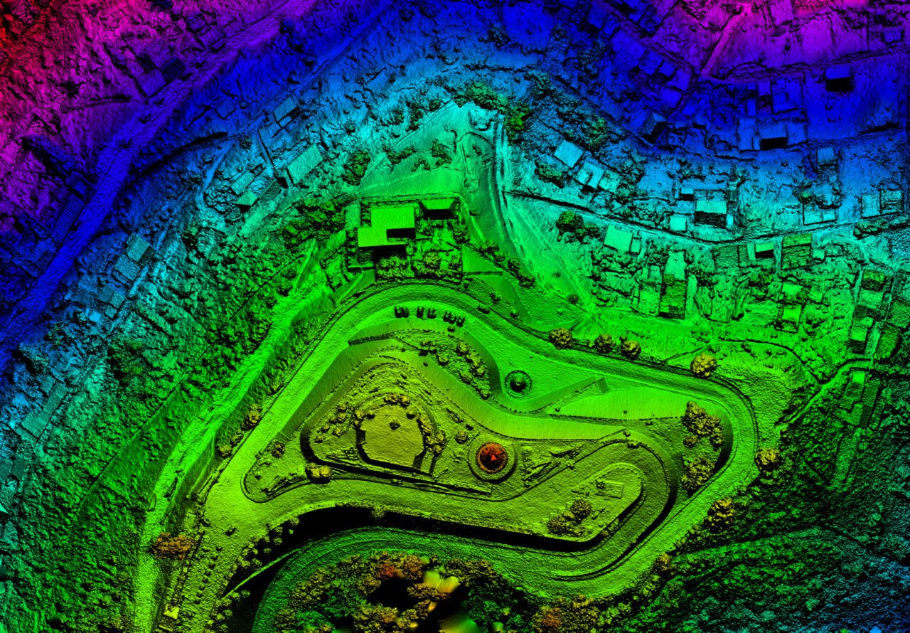
LiDAR (Light Detection and Ranging) is a remote sensing technology that uses laser light to precisely measure distances. AAI drones equipped with LiDAR sensors can rapidly capture millions of 3D data points, creating highly accurate 3D representations of the scanned environment.
How LiDAR Works
1. Laser Emission
The LiDAR sensor mounted on the drone emits rapid pulses of laser light towards the ground and surrounding objects.
2. Pulse Reflection
As the laser pulses strike surfaces, a portion of the light is reflected back towards the sensor.
3. Time Measurement
The LiDAR sensor precisely measures the time it takes for each pulse to travel to the target and back. This time is used to calculate the distance to that point.
4. 3D Point Cloud Generation
By combining the distance measurements with the precise position and orientation data from the drone’s GPS and inertial measurement unit (IMU), a dense 3D point cloud representing the scanned area is created.
LiDAR Technology
LiDAR Sensors
Common LiDAR sensors used on drones include those from Velodyne, Ouster, and Hesai. They vary in range, accuracy, number of laser channels, and weight.
Drones
Robust drone platforms like the DJI Matrice 300 and Freefly Alta X are designed to carry heavier payloads like LiDAR sensors while maintaining stable flight.
LiDAR Software
Terrasolid
Terrasolid is a comprehensive software suite for processing, analyzing, and visualizing LiDAR data from various platforms, including drones.
LAStools
LAStools is a highly efficient toolbox for LiDAR data processing, with tools for filtering, classifying, and extracting information from point clouds.
PDAL
PDAL (Point Data Abstraction Library) is an open-source translation library for LiDAR data, providing a framework for processing point clouds.
Accuracy of LiDAR
LiDAR systems are renowned for their high accuracy, with the ability to measure distances to within a few centimeters. For example, the Ouster OS-1-64 LiDAR sensor has a range accuracy of ±3 cm.
Applications of LiDAR
- Forestry: Measuring tree heights, canopy cover, and biomass estimation.
- Urban Planning: Detailed 3D city modeling for planning and development.
- Corridor Mapping: Surveying transportation corridors like roads, railways, and power lines.
- Geology and Mining: Mapping terrain, monitoring stockpiles, and detecting geological features.
- Coastal Monitoring: Tracking shoreline changes and measuring beach erosion.
Conclusion
The choice between photogrammetry and LiDAR depends on project needs, budget, and conditions. Photogrammetry excels in visual detail for construction and agriculture, while LiDAR provides unparalleled accuracy for forestry and urban planning.
Leverage the power of AAI Drones to seamlessly integrate these cutting-edge technologies into your workflow. With industry-leading drone solutions and expert support, AAI Drones empowers you to efficiently capture and analyse spatial data, driving innovation across diverse industries.


