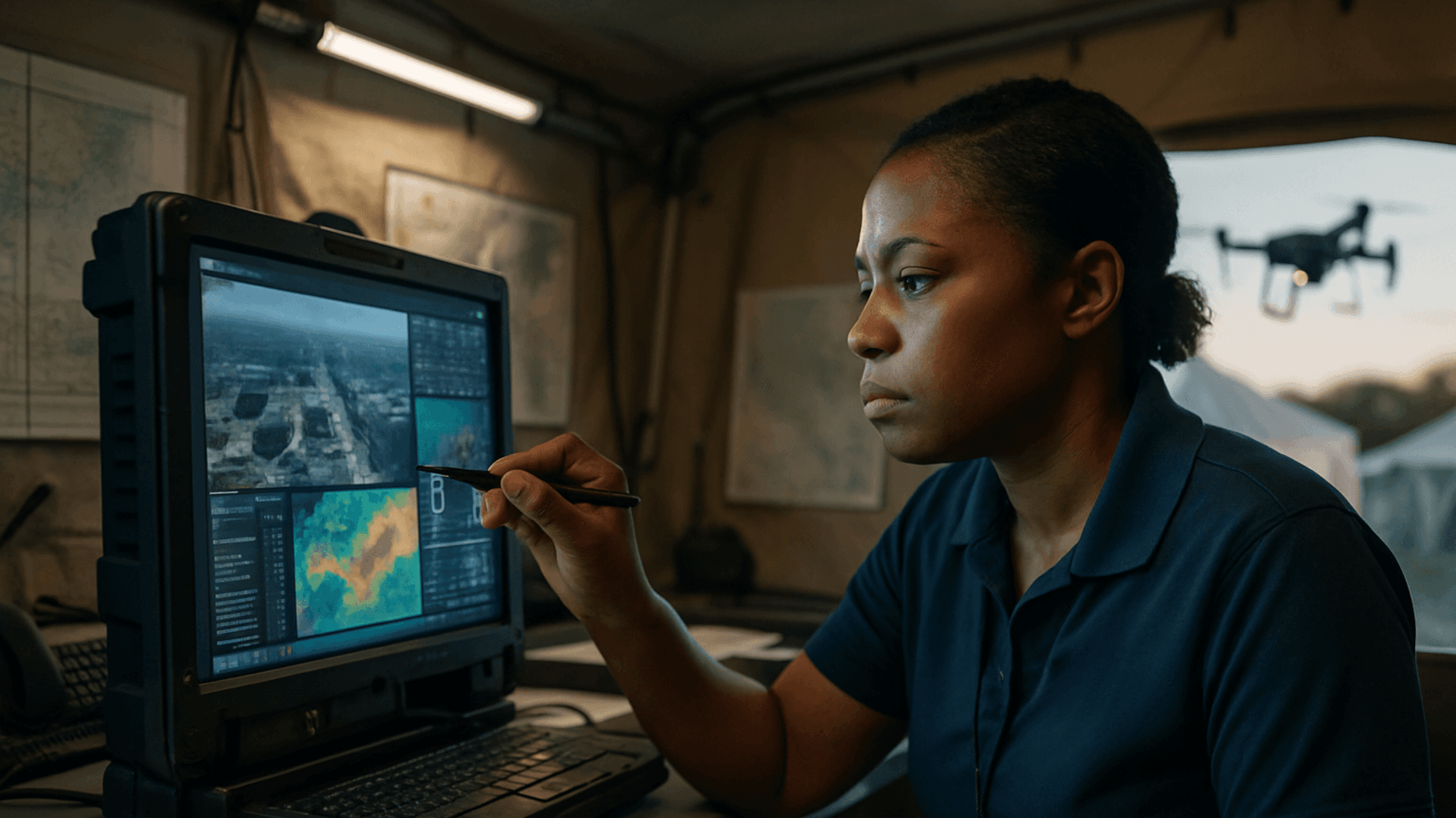
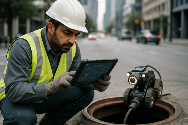
In the chaotic aftermath of a disaster, every second counts. Traditional methods of assessing damage, locating survivors, and coordinating aid often prove time-consuming, costly, and even dangerous for responders. Enter Unmanned Aerial Systems (UAS), commonly known as drones, which are rapidly transforming emergency response planning by providing an invaluable “eye in the sky.” These versatile devices gather critical data, enabling faster, safer, and more efficient interventions when disaster strikes.
Enhanced Situational Awareness Through Real-Time Data
One of the most significant advantages of integrating drone data into emergency response planning is the unparalleled improvement in situational awareness. Drones can be rapidly deployed to disaster zones, bypassing obstacles like blocked roads or hazardous environments that would impede human access. Equipped with high-resolution cameras, thermal imaging sensors, and other advanced payloads, they transmit real-time aerial footage and data directly to command centers. This immediate overview allows first responders to grasp the full scope of a crisis, understand the environment, and make informed decisions faster.
Rapid Damage Assessment and Infrastructure Mapping
Following events like floods, wildfires, or earthquakes, accurately assessing the extent of damage is paramount for effective response and recovery. Drones excel in this area, quickly surveying large geographic areas to identify affected infrastructure, assess structural integrity, and map damaged zones. The 3D models and orthophoto maps created from drone data are crucial for identifying areas of severe impact, planning reconstruction, and inspecting critical infrastructure like bridges and power lines for safety. This rapid data collection accelerates the planning and execution of relief operations, helping to prioritize resource allocation.
Improving Search and Rescue Operations
Drones have become indispensable tools in search and rescue (SAR) missions. Their ability to cover vast, often difficult-to-reach areas far more quickly than traditional ground teams significantly reduces the time and effort needed to locate individuals. Many rescue drones are equipped with thermal imaging cameras that can detect heat signatures, even in challenging conditions like rubble, smoke, or dense vegetation, dramatically increasing the chances of finding trapped or lost persons.
Diverse Applications of Drone Data in Emergency Scenarios
The utility of drone data extends across various phases of emergency management – from preparedness and immediate response to recovery and reconstruction.
Pre-Disaster Planning and Risk Assessment
Before a disaster even occurs, drones can play a proactive role in preparedness. They can be used for risk assessment, mapping vulnerable areas, and developing pre-planned flight paths for rapid deployment during an emergency. This includes creating detailed maps of flood plains or conducting site surveys for potential communication network setups, bolstering overall emergency preparedness.
Real-Time Monitoring and Hazard Identification
During an active emergency, drones provide continuous monitoring capabilities. For instance, they can track the spread of wildfires, the advance of floodwaters, or identify hazardous materials and blocked roads. This real-time information allows responders to adjust strategies, direct resources to the most severely affected areas, and even assist in safely puncturing gas cylinders during fires.
Communication and Connectivity Support
In scenarios where traditional communication infrastructure is compromised, drones can establish vital wireless communication links. By forming flying ad-hoc networks (FANETs), multi-drone systems can enhance connectivity and communication in disaster-affected areas, ensuring continuous coordination for rescue efforts. Some drones can even relay Wi-Fi, radio, and cellular services, bridging critical communication gaps.
Delivery of Emergency Supplies
Beyond data collection, drones are increasingly utilized for delivering essential emergency supplies, such as vaccines, blood, and medications, to remote or inaccessible areas. This capability ensures timely assistance for those cut off from conventional supply chains.
Types of Drone Data and Sensors
The efficacy of drone data in emergency response hinges on the sophisticated sensors they carry:
- High-Resolution Cameras: Provide detailed visual imagery for damage assessment, mapping, and general situational awareness.
- Thermal Imaging (Infrared) Cameras: Detect heat signatures, crucial for locating survivors, identifying hotspots in fires, and assessing overall temperature profiles.
- LiDAR (Light Detection and Ranging) Systems: Generate highly accurate 3D maps and models of disaster zones by emitting pulsed lasers. This data is invaluable for precise damage assessment, identifying rescue routes, and assessing structural stability.
- Multispectral Sensors: Capture data across different light spectra, useful for environmental monitoring, assessing crop damage, and tracking changes in vegetation post-disaster.
- Gas and Chemical Sensors: Equipped on specialized drones, these can detect toxic gases and monitor air quality in hazardous environments, protecting responders.
- GPS Tracking Systems: Enable precise navigation, mapping, and geo-referencing of collected data, ensuring accuracy and aiding in resource allocation.
Challenges and Future Outlook
Despite the transformative potential, the widespread integration of drone data in emergency response faces several challenges. These include the high cost of acquiring and maintaining advanced drones and their sophisticated sensors, navigating complex and varied regulatory frameworks (such as restrictions on flying over certain areas or beyond visual line of sight), limited flight times due to battery constraints, and ensuring data security and privacy. Communication and connectivity issues in areas with damaged networks also pose hurdles. Furthermore, the need for specialized training and expertise for drone operators is crucial.
However, ongoing advancements in battery technology, artificial intelligence (AI), and collaborative drone systems are set to address many of these limitations. AI, for example, can enable drones to autonomously analyze data, identify patterns, and make real-time decisions, such as detecting survivors or prioritizing critical areas for rescue. As regulatory bodies work towards more standardized and flexible guidelines for emergency drone use, and as technology continues to evolve, the application of drone data in emergency response planning will undoubtedly become even more ubiquitous, leading to faster, safer, and more effective disaster management globally.


