The Earth’s glaciers, majestic sentinels of global climate, are retreating at an alarming rate, a stark indicator of a warming planet. This rapid ice loss contributes significantly to global sea-level rise, threatens freshwater supplies for over a billion people, and destabilizes mountain environments, leading to increased hazards like landslides and floods. Understanding the dynamics of glacier melt is more critical than ever, yet traditional monitoring methods often fall short in terms of resolution, safety, and cost. Enter the era of Uncrewed Aerial Vehicles (UAVs), commonly known as drones, which are revolutionizing how scientists observe, measure, and comprehend these vital “rivers of ice.”
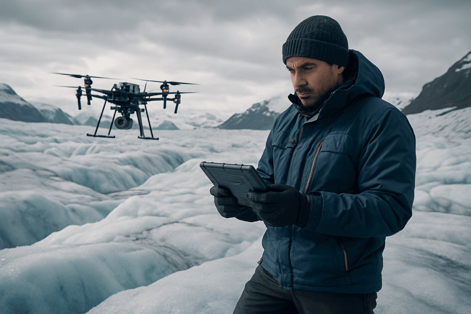
Drones offer an unparalleled advantage, bridging the gap between broad, lower-resolution satellite imagery and localized, often dangerous, ground-based measurements. Their ability to access remote and hazardous glacial terrains, coupled with their flexibility and capacity for high-resolution data collection, has made them indispensable tools in modern glaciology.
Why Glacier Monitoring is Critical in a Changing Climate
Glaciers are not merely static blocks of ice; they are dynamic components of the Earth’s climate and hydrological systems. Their sensitivity to temperature and precipitation changes makes them crucial indicators of global warming. Monitoring glaciers provides vital data for:
- Climate Change Analysis: Tracking glacier retreat and mass balance offers direct evidence of global temperature shifts and helps refine climate models.
- Water Resource Management: Many regions rely on glacier meltwater for drinking, agriculture, and hydropower. Understanding melt rates is essential for predicting future water availability and managing these critical resources.
- Hazard Prediction: Rapid melting can destabilize ice-covered mountainsides, leading to glacial lake outburst floods, landslides, and rockfalls, posing significant threats to downstream communities and infrastructure.
- Ecosystem Health: Glacial runoff influences aquatic ecosystems in rivers and oceans, and changes can have cascading effects on biodiversity.
Traditional methods involving manned expeditions are often time-consuming, expensive, and expose researchers to considerable risks in treacherous environments. While satellites provide a large-scale view, their resolution can be too coarse to capture fine details crucial for understanding specific melt processes. Drones emerge as a powerful solution, offering a balance between detail and scale.
Advanced Drone Applications for Glacier Melt Monitoring
Drones are equipped with a suite of sophisticated sensors that allow glaciologists to collect diverse and high-fidelity data.
High-Resolution 3D Mapping and Photogrammetry
One of the most transformative applications is the creation of detailed 3D models and maps of glacier surfaces. Drones capture thousands of overlapping aerial images, which are then processed using photogrammetry techniques like Structure-from-Motion (SfM) to generate:
- Digital Surface Models (DSMs) and Orthomosaics: These provide accurate, high-resolution representations of the glacier’s topography and surface features at centimetre-scale resolution.
- Glacier Retreat and Volume Change: By conducting repeated surveys over time, scientists can precisely track glacier retreat, measure changes in ice thickness, and calculate volume loss, offering crucial insights into mass balance.
- Surface Mass Balance Estimation: UAV data, often combined with ice-flow corrections, helps quantify the surface mass balance, especially for complex debris-covered glaciers where traditional methods are difficult.
Thermal Imaging for Surface Temperature Analysis
Thermal cameras integrated into drones allow researchers to measure the surface temperature of glaciers. This is critical for:
- Understanding Warming Patterns: Identifying warmer areas on the glacier surface, which can indicate preferential melt zones or the presence of meltwater ponds beneath debris cover.
- Energy Balance Models: Surface temperature data is a key input for energy balance models, helping scientists understand how glaciers interact with the atmosphere and absorb solar radiation.
LiDAR for Precise Topographical Mapping
LiDAR (Light Detection and Ranging) sensors emit laser pulses to measure distances, generating highly accurate 3D point clouds of the glacier surface. This technology excels at:
- Measuring Ice Thickness and Volume: LiDAR can penetrate thin snow layers to map the underlying ice surface with high precision.
- Identifying Detailed Features: High-resolution 3D data reveals intricate features such as crevasses, moulins (vertical shafts), and supraglacial lakes and channels that are crucial for understanding meltwater drainage and ice dynamics.
Multispectral and Hyperspectral Imaging
Multispectral and hyperspectral cameras capture data across various wavelengths beyond the visible spectrum, providing valuable information on surface composition and characteristics. Applications include:
- Mapping Surface Albedo: Measuring the reflectivity of the ice surface, which influences how much solar radiation is absorbed, accelerating melt.
- Detecting Glacier Algae and Debris Cover: Identifying the presence of impurities like algae or debris, which darken the ice and reduce albedo, leading to increased melt.
- Assessing Vegetation Health: In periglacial environments, multispectral data can monitor changes in vegetation health related to glacial retreat.
Autonomous Sensor Deployment
Beyond remote sensing, drones are being developed to physically deploy lightweight, specialized sensors directly onto hard-to-reach glacial surfaces. These sensors can measure glacier movement, velocity fluctuations, and other localized parameters in areas impossible for humans to access, providing real-time data on glacier behavior.
Mapping and Monitoring Glacial Hazards
Drones contribute significantly to assessing and mitigating glacial hazards by:
- Identifying Unstable Slopes: High-resolution imagery and 3D models can reveal areas prone to rockfalls, landslides, or ice avalanches as glaciers retreat and expose unstable terrain.
- Monitoring Glacial Lakes: Drones can track the formation, expansion, and potential instability of glacial lakes, which pose a risk of outburst floods.
Advantages of Drones Over Traditional Monitoring Methods
The shift towards drone-based glacier monitoring is driven by several compelling advantages:
- High Spatial Resolution: Drones can capture data with metre to centimetre-scale resolution, far surpassing that of most satellite imagery, allowing for the detection of subtle changes and small-scale features.
- Flexibility and On-Demand Deployment: Unlike satellites with fixed orbits, drones can be deployed precisely when needed, such as during optimal weather conditions or for repeat surveys of specific areas of interest.
- Access to Inaccessible Areas: Drones can safely navigate dangerous terrains, including crevassed zones, steep ice cliffs, and remote high-altitude regions that are too risky or difficult for human access.
- Cost-Effectiveness: Compared to manned aircraft or satellite data acquisition, drone operations can be more economical, especially for localized, high-frequency monitoring.
- Real-time Data Collection: Some drone systems can provide real-time visual data, allowing researchers to observe dynamic processes as they happen.
- Adaptable Sensor Payloads: Drones can carry a variety of lightweight sensors, enabling researchers to choose the most appropriate tools for specific research questions and environments.
Challenges and Future Prospects
Despite their numerous benefits, deploying drones in extreme glacial environments presents significant challenges:
- Harsh Weather Conditions: Cold temperatures can affect battery performance, make plastic rotors brittle, and lead to icing, impacting flight stability and endurance. Strong winds, sudden weather changes, and extreme light conditions for optical sensors also pose operational difficulties.
- Remoteness and Navigation: Vast, remote Arctic and high-altitude areas often lack telecommunication networks, and compasses can malfunction near the poles, complicating navigation and data transmission.
- Logistical Hurdles: Issues such as permitting, privacy concerns, potential wildlife disturbance, and the need for experienced pilots with specialized training are critical considerations.
- Data Processing: The immense volume of high-resolution data collected by drones requires powerful computing resources and advanced processing techniques.
However, ongoing advancements in drone technology are rapidly addressing these limitations. Improved battery technologies, more robust and weather-resilient drone designs (including hybrid fixed-wing and multi-rotor systems for extended range and maneuverability), and enhanced navigation systems are continually expanding their capabilities. The integration of artificial intelligence and machine learning is also enhancing data interpretation and efficiency, enabling faster detection of glacier fluctuations and prediction of future changes.
As drone technology continues to evolve, these aerial platforms will play an increasingly vital role in understanding the complex processes of glacier melt. By providing unprecedented detail and flexibility, drones empower scientists to better monitor these critical climate indicators, inform mitigation strategies for climate change, and protect the communities and ecosystems reliant on glacial water resources.


