The Earth’s gravitational pull, while seemingly constant, is a dynamic force with subtle variations that hold profound clues about our planet’s subsurface. For decades, scientists have sought to precisely map these “gravitational anomalies,” but traditional methods faced significant limitations in resolution, accessibility, and cost. Today, a new era of geophysical exploration is dawning, with drone-mounted instruments revolutionizing our ability to detect and analyze these anomalies, offering unprecedented insights into geology, resource distribution, and even fundamental physics.
Understanding Gravitational Anomalies and Their Significance
A gravitational anomaly is essentially the difference between the observed acceleration of gravity at a specific location and the value predicted by a theoretical model of the Earth’s gravitational field. These deviations are primarily influenced by variations in the density of subsurface rocks and materials. If the Earth were a perfectly uniform sphere, gravity would be consistent everywhere, but our planet’s rugged surface and non-uniform composition distort its gravitational field.
Why are Gravitational Anomalies Important to Study?
Studying gravitational anomalies provides critical insights into a wide range of scientific and commercial applications:
- Geological Structure and Tectonics: Anomalies can reveal features like mountain roots, differences between oceanic and continental crusts, and provide clues about processes deep within the lithosphere, such as the formation and sinking of lithospheric roots.
- Resource Exploration: Variations in density can indicate the presence of valuable resources. For example, a mass of dense ore below the surface will create a positive anomaly due to increased gravitational attraction, aiding in the detection of oil, gas, and mineral deposits.
- Subsurface Mapping and Hazard Detection: Gravity anomalies can help locate subterranean tunnels, underground utilities, and even monitor magma and fluid movement beneath active volcanoes, which is crucial for hazard forecasting. Microgravity investigations can also identify voids and their monitoring for engineering geology problems.
- Hydrology: They are used in groundwater surveying to understand underground water resources.
- Fundamental Physics: In a broader context, investigating gravitational anomalies, particularly at low accelerations in space, can challenge and refine our understanding of gravity itself, potentially leading to modifications of Einstein’s theory of general relativity.
Limitations of Traditional Gravimetry
Historically, measuring gravity involved instruments like spring-based gravimeters or absolute gravimeters. Spring-based relative gravimeters measure differences in gravity between points and are sensitive to changes in spring length due to gravitational force. Absolute gravimeters, which measure gravity directly, are typically large, unwieldy, and expensive.
Traditional ground-based surveys often involve physically transporting gravimeters across terrain, which is time-consuming, labor-intensive, and can be dangerous in inaccessible or hazardous areas. Airborne surveys using manned aircraft have offered broader coverage but are often limited by flight altitude, costs, and the “dead zone” for helicopter operations, where recovery might be impossible if something goes wrong. These methods also face challenges in achieving high spatial resolution, especially in complex topography, and are prone to errors from terrain corrections.
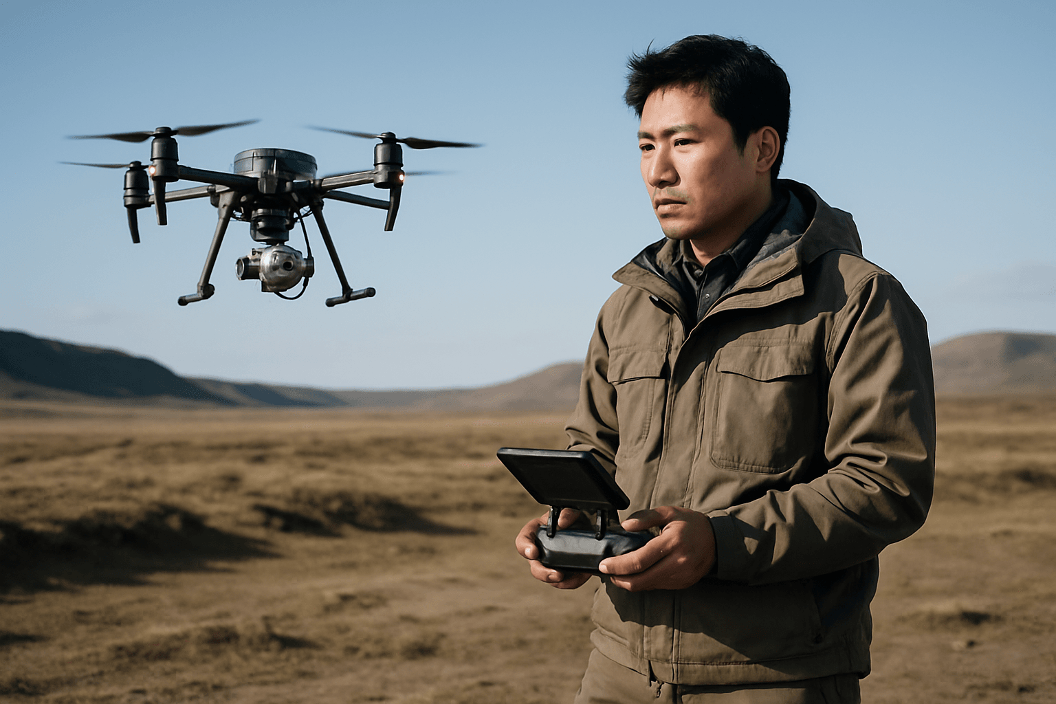
The Rise of Drone-Mounted Gravimeters
The advent of Unmanned Aerial Vehicles (UAVs), or drones, has marked a significant shift in geophysical surveying. Drones offer a versatile platform for scientific instruments, capable of precise, low-altitude flight, opening up new possibilities for gravitational anomaly detection.
Instruments and Technology
Gravimeters, at their core, are specialized accelerometers designed to measure gravitational acceleration. Traditional gravimeters were often large and heavy, sometimes weighing up to 100 kg and being the size of a washing machine. However, recent advancements have led to the development of much smaller and lighter systems suitable for drone deployment.
Key technologies enabling drone-based gravimetry include:
- Inertial Measurement Units (IMUs): Modern strapdown airborne gravimeters utilize navigation-grade IMUs, which consist of three perpendicular accelerometers and gyroscopes. These units measure accelerations and angular velocity at high rates, allowing the full acceleration vector and orientation to be computed post-mission. Some IMU systems can be as compact as a shoebox and weigh around 8 kg, a significant reduction from older platforms.
- Micro-electromechanical Systems (MEMS) Gravimeters: Researchers have developed MEMS gravimeters, which are built on silicon chips using the same fabrication methods as smartphone accelerometers. These instruments can be extremely sensitive, compact (e.g., 15-millimeter-square), and significantly less expensive than traditional gravimeters.
- Absolute Gravimeters for Drones: ANU researchers have developed a novel freefall gravimeter design, called MiniGrav, that delivers precise absolute gravity measurements while maintaining a compact size, low weight, and low power consumption, making it drone-deployable.
- High-Precision GNSS: To accurately isolate the gravitational signal from the drone’s kinematic accelerations (movements), high-quality Global Navigation Satellite System (GNSS) data is crucial. GNSS monitors the drone’s movement, allowing these accelerations to be derived and then accounted for in post-processing.
Advantages of Drone-Based Gravity Surveys
The integration of drones into gravitational anomaly investigations brings numerous benefits:
- Enhanced Resolution and Accuracy: Drones can fly at much lower altitudes and with tighter line spacing than manned aircraft, providing higher resolution and precision in data collection. This capability allows for centimeter-level accuracy in aerial mapping.
- Accessibility and Safety: Drones can access hard-to-reach or hazardous terrains, such as steep slopes, wetlands, or areas with heavy traffic, without risking human safety. This capability is particularly valuable in challenging geographical areas or for surveying dangerous sites like unstable slopes or volcanoes.
- Cost-Effectiveness and Time Efficiency: Drone surveys are significantly more cost-effective and faster than traditional ground-based or manned aircraft methods. They reduce the need for large field teams and heavy equipment, lowering operational costs and cutting data collection time from weeks to days or even hours.
- Improved Data Quality and Options: Drones equipped with high-resolution cameras and advanced sensors create millions of data points, enabling the generation of high-resolution orthomosaics and detailed 3D models. This improved data quality offers more comprehensive insights for clients.
- Environmental Impact: As an eco-friendly alternative, drones minimize ground disturbance, which is beneficial for environmental protection compared to traditional methods that might require heavy machinery.
Current Applications and Future Prospects
Drone-mounted gravitational instruments are already being deployed in various fields:
- Mineral and Hydrocarbon Exploration: Identifying density variations can pinpoint potential deposits, reducing the need for dangerous low-altitude aeroplane flights.
- Civil Engineering and Geotechnics: Detecting underground utilities, tunnels, or cavities beneath structures like railway tracks.
- Environmental Monitoring: Monitoring changes in groundwater levels or even detecting geological instabilities.
- Volcanology: Tracking magma movement before eruptions.
The technology continues to evolve rapidly. The ongoing miniaturization of sensors, coupled with advances in drone technology (such as custom-made drones for optimized flight endurance and improved GNSS equipment), promises even lighter, smaller, and more precise systems in the near future. The integration of multi-modal geophysical information from drones, fusing gravity data with other sensor data like magnetics or LiDAR, will further enhance exploration results and unlock new applications.
While challenges remain, such as compensating for the drone’s kinematic accelerations in flight and the high-frequency engine vibrations, research and development are continually addressing these issues. The future of investigating gravitational anomalies with drone-mounted instruments points towards increasingly accurate, efficient, and versatile tools that will continue to unveil the hidden complexities of our planet.


