In the wake of devastating disasters—earthquakes, landslides, or structural collapses—the race against time to locate buried survivors is paramount. Traditional search and rescue (SAR) methods are often slow, perilous for responders, and limited in scope. However, the integration of Unmanned Aerial Systems (UAS), commonly known as drones, equipped with advanced sensor technologies, is revolutionizing urban search and rescue (USAR) operations, offering a critical advantage in detecting individuals hidden beneath rubble. These aerial assets enhance efficiency, coverage, and safety, dramatically improving the chances of successful rescues.
The Critical Role of Drones in Search and Rescue
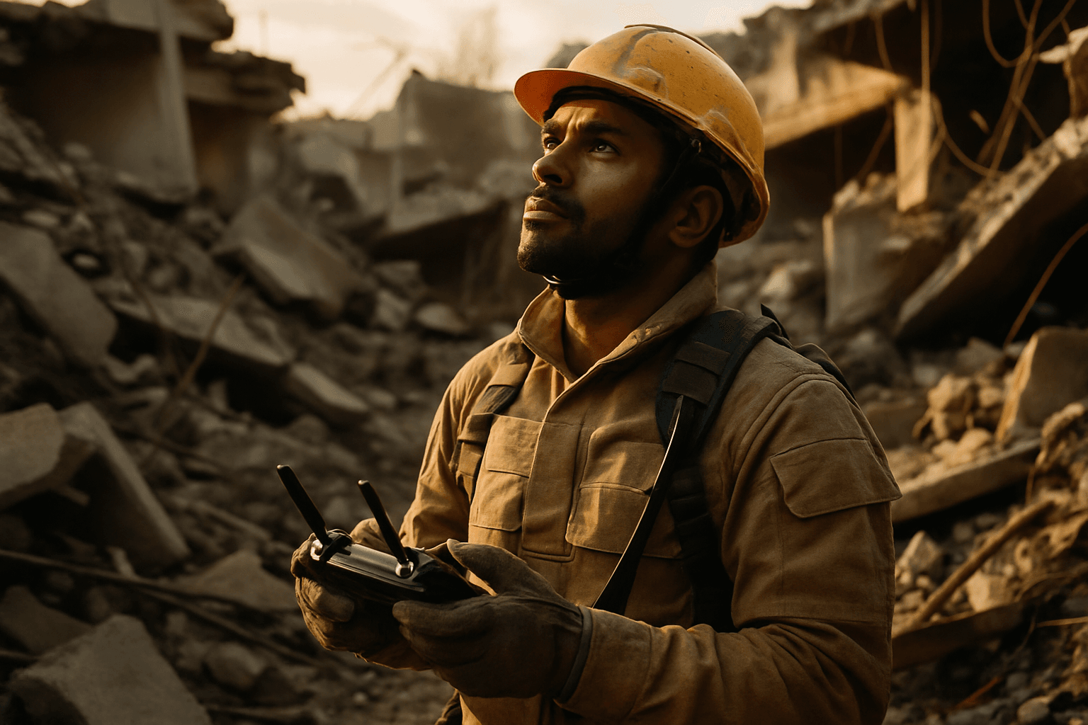
Drones have emerged as indispensable tools in modern SAR missions, offering capabilities that manned aircraft or ground teams cannot match. They can rapidly survey vast and dangerous areas, providing real-time data and imagery crucial for coordinating rescue efforts. Their ability to access hard-to-reach or unstable areas without risking human lives is a game-changer. In urban environments, drones can navigate confined spaces, enter collapsed buildings, and map unstable structures to aid rescue workers.
Key Drone Technologies for Buried Victim Detection
The effectiveness of drones in detecting buried individuals stems from their ability to carry sophisticated payloads designed to sense various indicators of human presence.
Thermal Imaging (Infrared Cameras)
Thermal cameras are among the most vital sensors for SAR drones, detecting heat signatures emitted by human bodies. This capability is particularly effective in low-visibility conditions, such as smoke, fog, darkness, or even through dense foliage or light debris. Freshly buried individuals, due to their body heat, can be detected more easily by thermal cameras. Researchers have shown that thermal imaging can locate humans buried not too deeply, especially within the first 7 to 21 days post-burial, leveraging the heat produced by decomposition. This real-time detection allows rescue teams to quickly pinpoint suspicious locations and prioritize their efforts.
Ground-Penetrating Radar (GPR)
Ground-Penetrating Radar (GPR) is a geophysical method that uses electromagnetic pulses to image beneath the surface of the ground, concrete, masonry, and asphalt. Drone-mounted GPR systems can detect subsurface anomalies, disruptions in the soil, or voids that might indicate a buried person or grave. This non-destructive technology is particularly useful for identifying potential burial sites without disturbing the scene. While thermal cameras excel at detecting fresh bodies, GPR can identify disturbances even when body temperature has normalized over time. Recent advancements include lightweight drone-based GPR arrays that enhance signal-to-noise ratios and can be deployed in swarms for rapid, robust scanning of large areas.
LiDAR (Light Detection and Ranging)
LiDAR drones use laser pulses to create highly accurate 3D maps of an area, even in low-light conditions or through dense vegetation. In rubble-strewn environments, LiDAR can help create detailed topographical maps and surface models, aiding in damage assessment, identifying potential hazards, and mapping safe routes for rescue teams. While not directly detecting heat signatures, the precise 3D modeling can reveal subtle changes in the terrain that might indicate a collapse or a hidden void where a person could be trapped. Autonomous LiDAR drones can rapidly scan vast areas like forests or mountains, providing real-time data for rescue teams.
Advanced Audio Sensors and AI
Beyond visual and subsurface detection, drones are being equipped with advanced audio sensors. Researchers have developed AI systems that can filter out drone propeller noise to locate faint human voices or cries for help coming from under collapsed buildings. This technology significantly improves the efficiency of victim detection by amplifying audible signs of life and distinguishing them from other ambient sounds.
Multispectral and Hyperspectral Cameras
Multispectral and hyperspectral cameras analyze light across various wavelengths, providing detailed information about soil composition, vegetation changes, and other forensic cues. These cameras can detect subtle color changes in vegetation indicative of decomposition products in the soil, helping to pinpoint burial sites, especially for prolonged periods after burial when thermal signatures fade.
Advantages of Drones in Rubble Search Operations
The deployment of drones in disaster zones offers numerous benefits:
- Enhanced Safety: Drones can access hazardous and unstable areas, reducing the risk to human responders.
- Rapid Deployment and Coverage: UAVs can be deployed quickly and cover large areas much faster than ground teams, which is critical in time-sensitive rescue operations.
- Real-time Data and Situational Awareness: Drones provide live aerial imagery and data to command centers, enabling informed decision-making and efficient resource allocation.
- Access to Inaccessible Areas: They can navigate narrow spaces, enter damaged structures, and operate in conditions unsuitable for manned aircraft or human entry.
- Cost-Efficiency: While initial investment exists, drones can save time, money, and resources by streamlining search efforts.
Challenges and Future Directions
Despite their immense potential, challenges remain in the widespread implementation of drone technologies for buried individual detection. These include regulatory hurdles, limited battery life, the sheer volume of data generated and the need for rapid processing, and public privacy concerns. Furthermore, accurately distinguishing human presence from other heat sources or ground disturbances can be challenging.
However, ongoing research and technological advancements are continually addressing these limitations. Developments in artificial intelligence and machine learning are enabling drones to autonomously analyze data, differentiate between humans and animals, and optimize search patterns. Swarm robotics, where multiple drones coordinate their efforts, promises to further enhance coverage and efficiency in complex environments. Advancements in battery technology, such as hydrogen-powered drones, are also extending flight times.
In conclusion, drone technologies, particularly those equipped with thermal, GPR, LiDAR, and advanced audio sensors, are transforming the landscape of search and rescue operations in disaster-stricken areas. By providing unparalleled speed, safety, and detection capabilities, these unmanned aerial systems are significantly improving the chances of locating and rescuing buried individuals in rubble, offering a beacon of hope in humanity’s darkest hours.


