Monitoring wildlife populations is crucial for conservation, but traditional methods often face significant hurdles: vast and challenging terrains, the risk of disturbing animals, and the sheer labor and cost involved. However, the integration of drone technology with artificial intelligence (AI) is ushering in a transformative era for wildlife conservation, offering unprecedented efficiency, accuracy, and safety in population monitoring and beyond.
The Imperative of Wildlife Monitoring
Accurate and timely data on animal populations are fundamental to understanding ecosystem health, assessing the impact of climate change and human activity, and implementing effective conservation strategies. Without reliable population counts and behavioral insights, conservationists struggle to make informed decisions about species protection, habitat management, and anti-poaching efforts. Traditional methods, such as ground patrols, manual counting, or manned aircraft surveys, are often limited in scope and accuracy, particularly in remote, dangerous, or densely vegetated areas.
The Rise of Drone Technology in Conservation
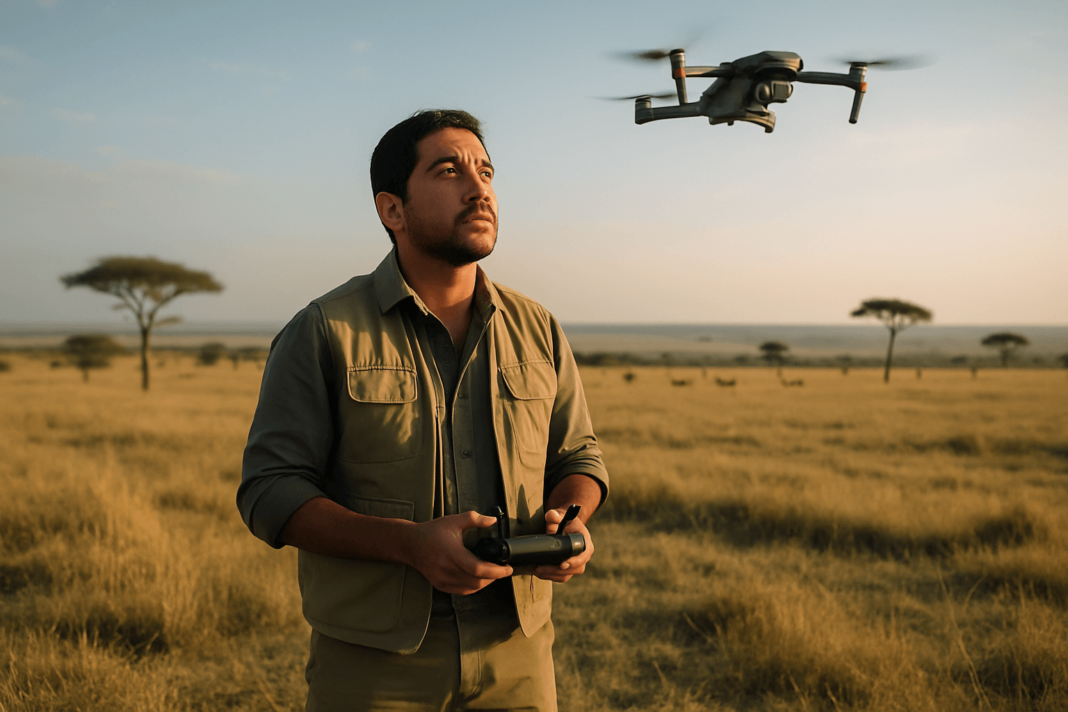
Drones, also known as Unmanned Aerial Vehicles (UAVs), provide a revolutionary solution to many of these challenges. Their ability to access remote and dangerous habitats, coupled with advanced sensor technology and AI-driven data analysis, is reshaping how scientists approach wildlife monitoring.
Advantages Over Traditional Methods
Drones offer several compelling advantages over conventional monitoring techniques:
- Reduced Disturbance: Drones can observe animals from a safe distance and at altitudes that minimize stress or changes in natural behavior, providing more accurate and unbiased data.
- Efficiency and Coverage: UAVs can cover vast areas much faster than ground-based surveys or even manned aircraft, which are more expensive and logistically challenging. This is especially beneficial for large or difficult-to-access terrains like dense forests, mountains, or wetlands.
- High-Resolution Data: Equipped with advanced cameras and sensors, drones capture high-resolution imagery and data, enabling detailed identification and counting of species, monitoring vegetation changes, and assessing habitat quality.
- Improved Safety for Researchers: By collecting data remotely, drones eliminate the need for researchers to venture into hazardous environments, reducing risks associated with treacherous terrains, extreme weather, or dangerous wildlife encounters.
- Cost-Effectiveness: While initial setup costs can be a consideration, drones often reduce the overall per-project cost of data collection by minimizing the need for large field teams, expensive vehicles, or aircraft charters.
- Accuracy: Studies have shown that drone-derived data can be significantly more accurate—between 43% and 96%—than traditional ground-based counts, particularly for aggregating animals, as drones offer a superior vantage point to avoid obscured individuals.
Key Technological Components
Modern wildlife monitoring drones are equipped with specialized instruments to gather diverse ecological data:
- Visible Cameras (RGB): These capture standard visual aerial imagery for counting animals, observing nesting birds, detecting poaching activities, tracking movement patterns, and assessing habitat.
- Thermal Cameras: These are highly effective for detecting heat signatures, making them ideal for locating nocturnal, camouflaged, or hidden wildlife, identifying injured animals, and monitoring species that are difficult to observe visually. Thermal drones can capture clear images from hundreds of feet in the air, even in dense foliage or complete darkness.
- Multispectral Sensors: These sensors detect variations in vegetation, soil moisture, and land use, helping scientists understand the health of ecosystems and the effects of environmental changes.
- LiDAR (Light Detection and Ranging) and Hyperspectral Sensors: These can collect additional data on vegetation density, elevation, and specific spectral signatures, crucial for detailed habitat mapping.
- GPS and Navigation Systems: Essential for accurate positioning, precise flight planning, and tracking the drone during missions.
- Artificial Intelligence (AI) and Machine Learning: AI algorithms are increasingly vital for processing vast amounts of drone data. They enhance species identification, animal tracking, population estimation, and habitat analysis, improving accuracy and speeding up results. Deep learning models like YOLO and Faster R-CNN are revolutionizing species detection with high accuracy.
Diverse Applications of Drones in Wildlife Population Monitoring
The versatility of drones has led to their application across numerous aspects of wildlife conservation:
Aerial Surveys and Counting
Drones excel at conducting censuses, providing precise and georeferenced data across large or hard-to-reach areas. They can count animals more accurately than human observers, especially for species that aggregate in large numbers or in challenging environments. For example, drones have been used to count marsh deer in Brazil’s Pantanal wetlands and estimate white-tailed deer populations.
Tracking and Behavioral Studies
Drones enable the non-invasive observation of animals in their natural state, providing authentic data on movement patterns, social interactions, foraging behaviors, and territory use without causing disturbance. Researchers have monitored elephants, seals, orangutans, and cetaceans in the Arctic using drones, witnessing unique behaviors previously unseen.
Habitat Mapping and Assessment
Multispectral and LiDAR sensors on drones are invaluable for creating 3D maps of forest cover, analyzing land-use changes, and identifying areas impacted by climate change or human activity. This helps conservationists assess habitat quality and identify suitable areas for endangered species, such as the brown-headed spider monkey in Ecuador.
Anti-Poaching and Surveillance
Thermal imaging drones are particularly effective for anti-poaching efforts, as they can detect human heat signatures day or night, even through dense vegetation. Drones can provide real-time surveillance, send alerts, and help authorities respond quickly to illegal hunting and deforestation. AI-powered drones can even differentiate between animal movement, human activity, wardens, and poachers by analyzing behavior.
Case Studies and Real-World Impact
The practical applications of drones are expanding globally. In Ecuador, a conservation group used an Event 38 E384 drone equipped with a Canon SX 260HS camera to collect detailed topographical data over 1000 hectares to identify suitable habitats for critically endangered brown-headed spider monkeys. The drone covered the vast area in just two days, a task that would have been incredibly difficult and time-consuming with traditional methods due to heavy rainfall and the monkeys’ large range. Other examples include tracking Arabian oryx in deserts, penguins in Antarctica, and various endangered species like koalas and microbats for radio-tracking research.
Challenges and Considerations
Despite their immense potential, the use of drones in wildlife monitoring faces several challenges:
Regulatory Hurdles and Ethical Concerns
- Flight Restrictions: Many countries and regions have strict regulations regarding drone flights, particularly in protected areas like National Parks and designated Wilderness Areas. In the U.S., drone use is generally prohibited in National Parks without special permits, which are typically granted only for scientific research or administrative purposes.
- Wildlife Disturbance: While drones aim to minimize disturbance, improper use can still cause stress to animals. Researchers must maintain safe distances (e.g., U.S. Fish and Wildlife Service recommends over 100 meters from wildlife) and avoid sudden movements, low-altitude flights near sensitive species, or flying during mating seasons. Direct overhead paths can be perceived as predator movement, especially by birds.
- Permitting: Obtaining the necessary permits for scientific drone use can be a lengthy process, requiring careful planning.
Data Processing and Analysis
Drones can generate massive amounts of data, which requires significant computing power and sophisticated AI algorithms for efficient processing and analysis. Challenges include data diversity, model generalizability, and limitations caused by occlusions, background interference, or sensor resolution.
Operational and Environmental Limitations
- Battery Life: Limited battery life can restrict flight duration and coverage, especially for long-term monitoring or extensive areas.
- Weather Dependencies: Adverse weather conditions such as high winds, rain, or extreme temperatures can affect drone stability, signal reliability, and operational windows. Ground heat can also restrict the effective use of thermal imaging drones, limiting flight times to specific periods like shortly after sunrise.
- Dense Vegetation: While drones can penetrate dense vegetation better than ground surveys, heavy forest can still obstruct GPS signals and visual line-of-sight, requiring lower altitudes and slower speeds.
- Lack of Standardization: The absence of standardized protocols and publicly available datasets can impede the development of robust AI solutions and consistent research practices.
The Future of Drone-Assisted Wildlife Conservation
The synergy between drone technology and artificial intelligence continues to evolve, promising even more sophisticated solutions for wildlife monitoring. Advances in AI, sensor capabilities, and drone autonomy, including the potential for drone swarms, will further enhance species identification, tracking, and habitat analysis. By overcoming current technical and regulatory hurdles, drones will continue to play an increasingly vital role in safeguarding biodiversity and ensuring a sustainable future for wildlife.


