Cover crops are a cornerstone of sustainable agriculture, vital for improving soil health, preventing erosion, and enhancing nutrient cycling. However, effectively assessing their performance—from establishment to biomass accumulation and overall health—has traditionally been a labor-intensive and time-consuming endeavor. Enter drone technology, an innovation that is rapidly transforming how farmers and agronomists monitor and manage these crucial crops, offering unparalleled efficiency and precision.
The Role of Cover Crops in Sustainable Agriculture
Cover crops are planted primarily to cover the soil rather than for harvest. Their benefits are extensive, including suppressing weeds, reducing soil erosion, improving soil structure, increasing organic matter, and cycling nutrients. Accurately evaluating their growth and health is essential to maximize these benefits and inform subsequent cropping decisions. Traditional methods, such as destructive field sampling, are often costly and labor-intensive, particularly when considering the spatial variability within a field.
Why Drones are Game-Changers for Cover Crop Assessment
Drones, also known as Unmanned Aerial Vehicles (UAVs), offer a significant leap forward in agricultural monitoring. Their ability to fly autonomously and capture high-resolution imagery enables farmers to quickly survey large areas, collecting detailed information that far surpasses traditional scouting methods. Key advantages include:
- Higher Efficiency: Drones can scan vast tracts of farmland in minutes, providing time-sensitive insights.
- Enhanced Data Resolution: Multispectral and RGB cameras capture high-resolution imagery, revealing details beyond what the naked eye can perceive.
- Reduced Soil Compaction: Unlike heavy machinery, drones do not compact the soil, preserving its health.
- Timely and Flexible Monitoring: Drones allow farmers to monitor cover crops during critical windows, even when ground conditions are unfit due to rain.
- Accessibility: Drones can reach challenging areas of fields, such as terraces, waterways, and wetlands, providing precise data in complex terrain.
Essential Drone Technology for Cover Crop Monitoring
Effective drone-based cover crop assessment relies on the right combination of aerial platforms and sophisticated sensors.
Types of Drones (UAVs)
Agricultural drones generally come in two main types:
- Multirotor Drones: These are highly maneuverable, can hover, and are excellent for detailed, small-to-medium area inspections. They are often easier to operate and transport.
- Fixed-Wing Drones: These resemble small airplanes and are ideal for covering large areas quickly due to their longer flight times and faster speeds. They require more space for takeoff and landing.
The choice often depends on the acreage, crop type, and desired level of detail for the assessment.
Key Sensor Technologies
The “eyes” of the drone, these sensors capture different aspects of light reflection, providing critical data on plant health and soil conditions.
- Optical RGB Cameras: These are standard visual cameras that capture high-resolution images in red, green, and blue light. They are often less expensive and can be used for general visual assessment, crop scouting, and creating orthomosaics (stitched-together field maps).
- Multispectral Sensors: Crucial for detailed plant health analysis, these sensors capture data in specific visible and non-visible light bands, including near-infrared (NIR) and Red Edge (RE). Plants reflect light at varying levels depending on their chlorophyll content and biomass, allowing multispectral cameras to identify nutrient deficiencies, pests, disease outbreaks, and general plant stress before visible symptoms appear.
- Hyperspectral Sensors: These advanced sensors record hundreds of continuous spectral bands, creating a detailed “spectral fingerprint” for crops and soil. While offering more detailed data, they typically have lower spatial resolution than multispectral sensors and are generally more expensive.
- Thermal Sensors: These measure temperature variations across crop canopies and soil, revealing water stress, irrigation issues, and transpiration rates. They can also be used to detect sick or injured animals in livestock monitoring.
- LiDAR (Light Detection and Ranging) Sensors: LiDAR uses laser pulses to measure distances, creating highly accurate 3D models of the terrain and canopy structure. This can be useful for estimating crop height and biomass.
GPS and Flight Planning Software
Advanced GPS systems (RTK/PPK) on drones provide highly precise geolocation for imagery, often to the millimeter. Flight planning software allows users to define flight paths, altitudes, and overlaps, ensuring comprehensive and efficient data collection.
Data Collection Strategies for Accurate Assessment
To maximize the utility of drone data for cover crop assessment, careful planning and execution are paramount.
Pre-Flight Planning and Permissions
Before any flight, it’s essential to:
- Understand Regulations: Drones are subject to various regulations, including airspace restrictions and operator certifications, which can vary by country and region. Staying informed and seeking guidance from authorities or service providers is crucial. Operating a UAV for farm management is considered a commercial operation, often requiring specific certification.
- Define Objectives: Clearly outline what information is needed (e.g., biomass, stress detection, uniformity) to select the right sensors and flight parameters.
- Plan Flight Paths: Use specialized software to define flight paths and altitudes to ensure optimal coverage of the target area.
Optimal Flight Parameters
Adjusting flight parameters ensures the best data quality for specific assessment goals.
- Altitude: For high-detail tasks like early-stage disease detection, lower altitudes (30-40m) are preferred to minimize Ground Sample Distance (GSD). For broader mapping, higher altitudes (60-120m) may suffice. Lower altitudes increase flight time and data processing but offer plant- or leaf-level analytics.
- Speed: Optimal speeds range from 4 to 8 m/s, with lower speeds necessary for lower altitudes or slower sensor capture rates to ensure sufficient image overlap (>75%) and prevent motion blur.
- Overlap: A high image overlap (e.g., >75% side and forward overlap) is crucial for generating a precise reproduction of maps and plants, though it increases processing time due to a larger volume of images.
- Timing: Flights for crop monitoring should be conducted near solar noon under low wind conditions (<5-7 m/s) to minimize platform instability, crop movement, and deep shadows, which can affect radiometric accuracy.
Ground Truthing and Calibration
Ground truthing involves collecting digital information about crop and field conditions at specific locations on the ground, which then serves as a reference for remotely sensed data. This is vital for calibrating sensors and validating the accuracy of drone-collected data, especially for detecting specific phenomena like weeds, diseases, pests, or stress. Radiometric calibration using a downwelling light sensor and a reflectance panel should be performed before each mission.
Analyzing Drone Data for Actionable Insights
Raw drone imagery is just the beginning. The real value comes from processing and analyzing this data to extract actionable insights.
Software for Image Stitching and Orthomosaic Creation
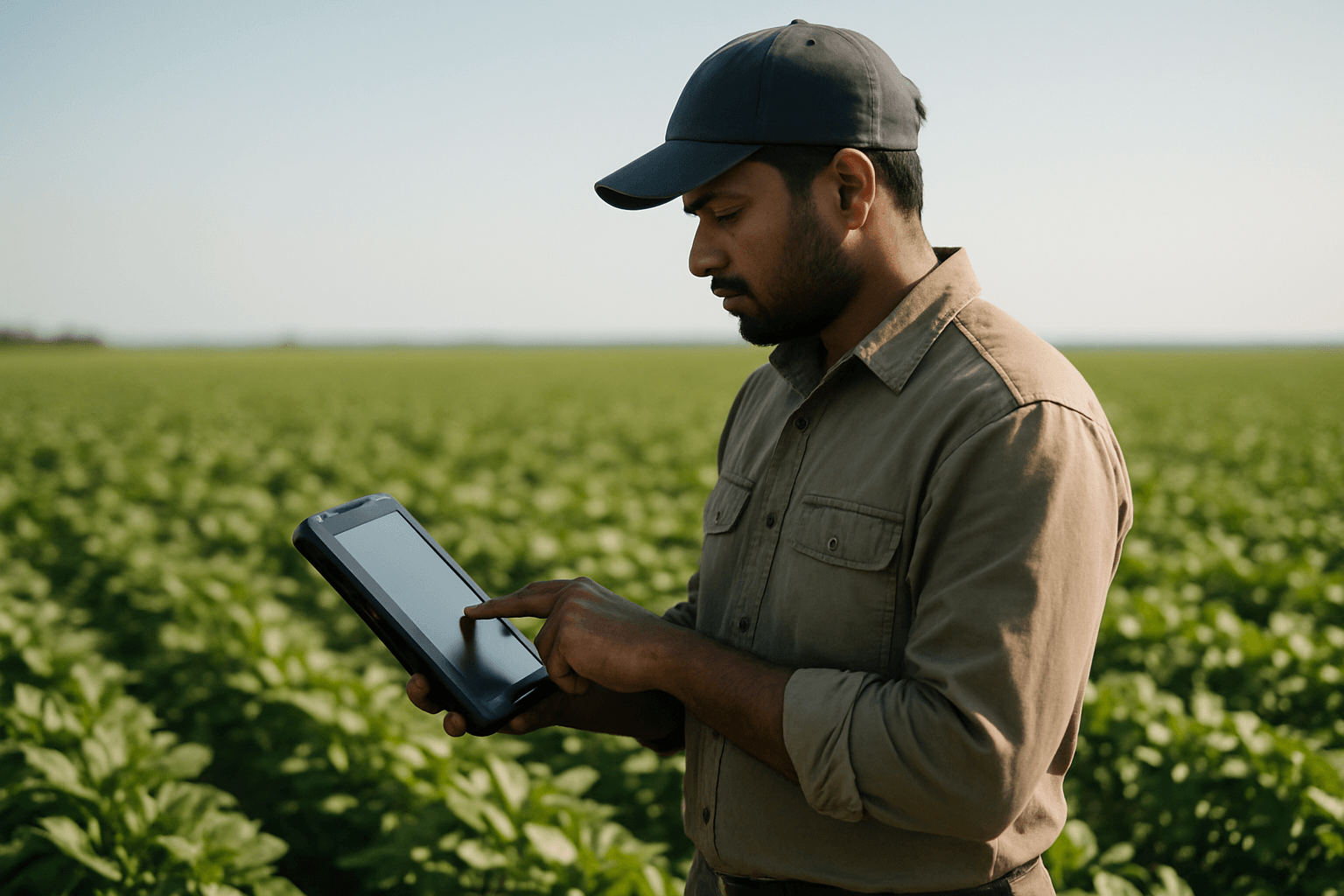
Specialized software is used to stitch together individual drone images into a single, georeferenced orthomosaic map of the entire field. Examples include Pix4Dfields and DroneDeploy, which offer instant processing capabilities both in-field and in-office, sometimes even offline. These platforms can also integrate with existing farm management systems.
Vegetation Indices (NDVI, NDRE, etc.)
Vegetation indices (VIs) are mathematical formulas that transform spectral imaging data to highlight specific vegetation properties, such as greenness, vigor, biomass, and chlorophyll content.
- Normalized Difference Vegetation Index (NDVI): One of the most common VIs, NDVI uses red and near-infrared (NIR) light reflectance to assess vegetation health and biomass. Higher NDVI values generally indicate healthier, denser vegetation.
- Normalized Difference Red Edge (NDRE): Similar to NDVI but utilizing the red-edge band instead of red, NDRE is particularly effective for assessing crop health during later growth stages and for detecting issues like pest infestation or nutrient deficiency in mature crops.
- Enhanced Vegetation Index (EVI): EVI is an advanced VI that improves sensitivity in high biomass regions and reduces background soil and atmospheric influences.
- Soil-Adjusted Vegetation Index (SAVI): SAVI is designed to minimize the influence of soil brightness, making it useful for young crops or areas with low vegetative cover where soil might be visible.
- Green Normalized Difference Vegetation Index (GNDVI): Similar to NDVI, but uses the green spectrum instead of red. It is often used for assessing moisture content and nitrogen concentration in plant leaves.
- Canopy Height Models (CHMs): Derived from drone imagery, CHMs provide valuable structural data, and when combined with vegetation indices, can significantly improve the accuracy of biomass estimation, especially in later growth stages.
Advanced Analytics: Biomass Estimation and Stress Detection
Beyond basic VIs, advanced analytics software, often powered by AI and machine learning, can process drone data to:
- Estimate Biomass: Drones can provide reliable measures for harvested biomass, overcoming the labor-intensive nature of traditional methods. Machine learning approaches leveraging spectral and canopy height data have shown high accuracy in biomass estimation.
- Detect Plant Stress: By analyzing variations in spectral signatures, drones can identify early signs of nutrient deficiencies, water stress (using indices like NDWI), pest attacks, and diseases, often before they are visible to the human eye.
- Predict Yields: Integration of AI and machine learning can offer predictive analytics, uncovering patterns and trends for higher crop yields and farm productivity.
Practical Applications and Performance Metrics
Drones enable a wide range of practical applications for assessing cover crop performance.
Assessing Biomass and Growth Uniformity
High-resolution drone imagery and VIs like NDVI are excellent for measuring leaf area and plant biomass. This allows farmers to evaluate growth uniformity across the field, identifying areas of vigorous growth versus sparse or struggling patches.
Identifying Pest, Disease, and Nutrient Deficiencies
Multispectral and thermal sensors can detect subtle physiological changes in crops indicative of stress from pests, diseases, or nutrient imbalances. Early detection allows for targeted intervention, reducing the risk of crop loss.
Evaluating Winter Kill and Establishment Success
Drones can efficiently survey fields to assess how well cover crops established after planting and their survival rate over winter, providing crucial information for replanting decisions or subsequent crop planning.
Quantifying Residue Cover and Soil Health Impacts
While direct soil analysis still requires ground sampling, drone data contributes to a broader understanding. By mapping vegetation cover and biomass, drones can indirectly inform about residue cover and its potential impact on soil health, drainage, and erosion control.
Challenges and Considerations
Despite the numerous benefits, integrating drones into cover crop assessment comes with challenges.
Regulatory Compliance and Pilot Skill
Regulations regarding drone usage vary, and operators require specific certifications for commercial agricultural flights. Operating drones and analyzing their data requires specialized skills, which can be a barrier for some farmers.
Data Processing and Storage Requirements
Drones generate large volumes of data that require significant processing power and storage. Managing, processing, and analyzing this data can be complex and time-consuming, requiring specialized software and technical expertise.
Cost of Equipment and Software
The initial investment in high-end drones with advanced sensors, along with associated software, training, and maintenance, can be substantial. However, costs are decreasing as technology advances.
Weather Limitations
Drones are weather-dependent and cannot fly during heavy rain, snow, high winds (>5-7 m/s), or dense fog, which can limit their use in certain areas or times of the year.
Future Trends in Drone-Based Cover Crop Assessment
The future of drone technology in agriculture is promising. Advances in AI and machine learning will continue to improve data analysis, enabling more sophisticated predictive analytics. The development of drone swarms could allow for greater acreage coverage and efficiency, reducing costs. Continued improvements in energy autonomy and more sophisticated decision-support systems will further enhance the transformative potential of drones for sustainable and productive agriculture.
Conclusion: Maximizing Cover Crop Potential with Drone Technology
Drones are no longer a novelty in agriculture but an indispensable tool for precision farming. By providing high-resolution, real-time data on cover crop performance, drones empower farmers to make informed, data-driven decisions that optimize resource utilization, reduce environmental impact, and ultimately lead to healthier soils and improved agricultural sustainability. While challenges remain, the continuous evolution of drone technology promises an even more efficient and precise future for cover crop assessment.


