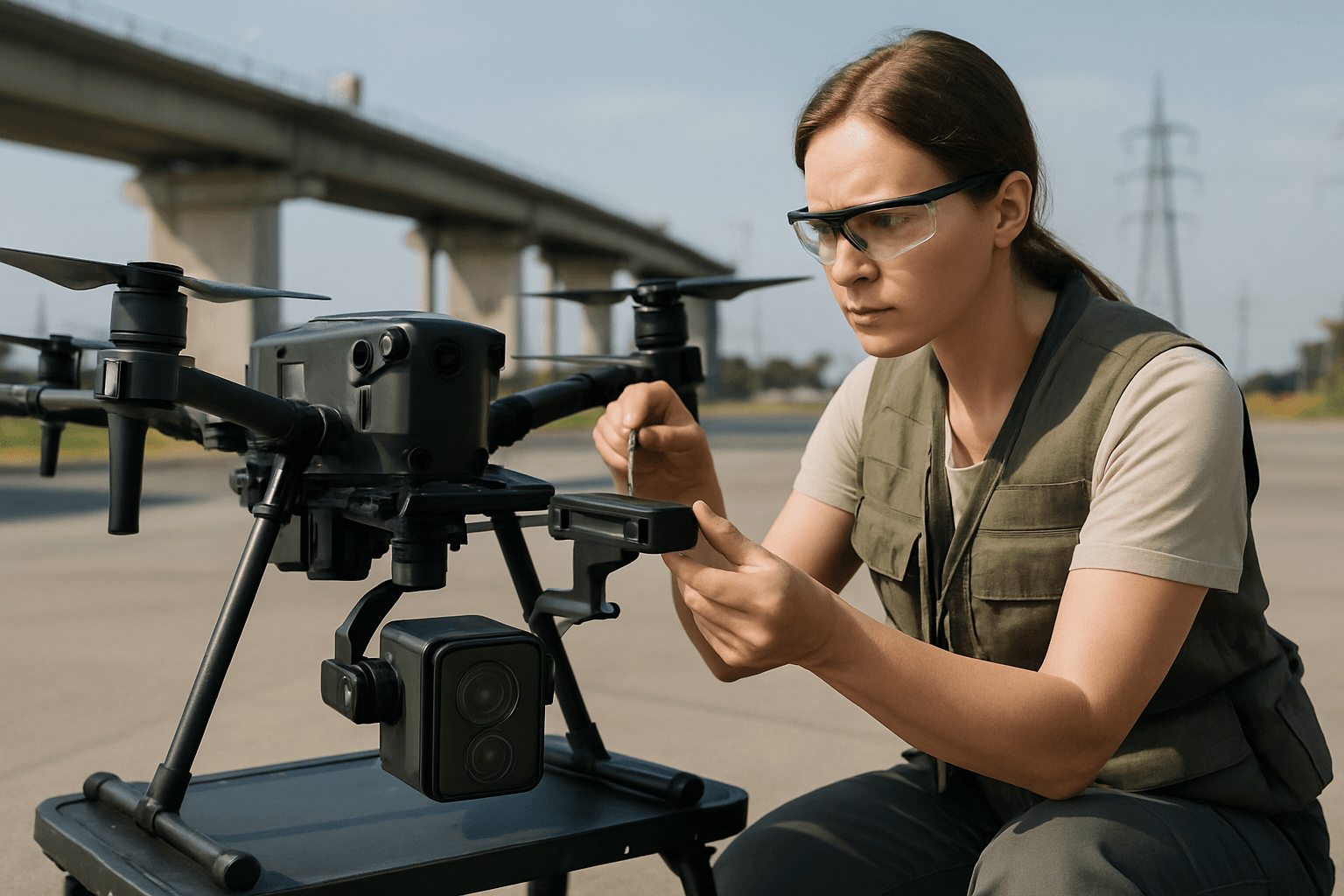
Thermal cameras mounted on drones have become indispensable tools for inspecting critical infrastructure, offering a non-invasive and efficient way to detect anomalies such as heat loss, electrical faults, or structural weaknesses. However, the reliability and accuracy of the data gathered hinge significantly on proper camera calibration. Without meticulous calibration, even the most advanced drone thermal imaging systems can yield misleading results, potentially leading to costly errors and missed critical issues. This guide outlines the best practices for calibrating thermal cameras on drones to ensure survey-grade accuracy in infrastructure inspections.
Why Accurate Thermal Camera Calibration is Crucial
The goal of thermal imaging in infrastructure surveys is often to obtain quantitative temperature measurements, not just qualitative thermal patterns. Inaccurate calibration can lead to significant errors in temperature readings, which in turn compromises the integrity of the inspection. Factors like lens distortion, sensor drift, and environmental conditions can introduce systematic errors, making robust calibration essential for transforming raw thermal data into precise, actionable intelligence.
Pre-Flight Calibration and Setup
Before a drone even takes flight, several critical calibration steps and settings must be addressed to ensure data accuracy.
Understanding and Setting Emissivity
Emissivity is a fundamental parameter in thermography, representing an object’s ability to emit thermal radiation. It’s a dimensionless value ranging from 0 to 1, where 1 indicates a perfect emitter (a black body). The emissivity of a surface is influenced by its material, surface structure, geometry, angle, and temperature.
- Material-Specific Settings: Different materials have varying emissivities. For instance, concrete or asphalt roofing materials typically have an emissivity of around 0.95, a value that should be set in the thermal camera for accurate readings. Highly reflective surfaces, like some solar panels, present a greater challenge for accurate temperature measurement due to their lower emissivity.
- Publicly Available Tables: When predefined settings aren’t available, thermographers must consult publicly available emissivity tables to determine appropriate values for the materials being inspected.
- Reflected Apparent Temperature: Alongside emissivity, the reflected apparent temperature, which accounts for thermal radiation reflected from the object’s surface, must also be considered for precise measurements.
Environmental and Atmospheric Considerations
Environmental conditions play a significant role in thermal imaging accuracy.
- Atmospheric Compensation: Air temperature, humidity, and atmospheric interference can attenuate infrared radiation, especially over longer distances. Advanced thermal imaging systems for UAVs often incorporate atmospheric compensation mechanisms to adjust data for more accurate readings. Some thermal cameras can be calibrated to account for the influences of air temperature, ambient humidity, target object emissivity, and surrounding object temperatures.
- Optimal Conditions for Survey: Flying during early morning or evening often provides optimal temperature contrast and minimizes atmospheric distortion, leading to more accurate readings.
- Sensor Warm-up and Stabilization: Uncooled thermal cameras are susceptible to sensor drift and temperature fluctuations. A short pre-flight warm-up period, sometimes involving a brief flight, allows the sensor to reach thermal equilibrium with the ambient operating temperature, improving accuracy. Some studies suggest stabilization periods ranging from a few minutes to an hour, though lengthy periods can reduce flight time.
Internal Drone Calibrations
Beyond the thermal camera itself, the drone’s internal systems also require calibration for stable flight and accurate data capture.
- IMU Calibration: The Inertial Measurement Unit (IMU) is crucial for stable flight and precise movements. Calibrating the IMU prevents drift and oscillations by ensuring it provides accurate data to the flight controller. This typically involves placing the drone on a level surface in specific orientations and allowing it to reach room temperature.
- Compass Calibration: Essential for accurate positioning and navigation, compass calibration involves rotating the drone 360 degrees horizontally and vertically in specific patterns, usually guided by the drone’s app. This should be done in an open area free from electronic interference.
- Gimbal Calibration: The gimbal ensures smooth and stable camera footage. Calibrating its motors and sensors eliminates vibrations and unwanted movements, often initiated via an auto-calibration process in the drone app.
In-Flight Best Practices for Data Acquisition
Even with thorough pre-flight preparation, how the drone is flown and data is captured during the mission directly impacts the quality of thermal imagery.
Flight Path and Overlap
- Comprehensive Coverage: Plan the flight path meticulously to ensure complete coverage of the inspection area, including high-interest features like vents or critical components.
- High Overlap: A high overlap of thermal images, typically 70-80% for both front and side overlap, is crucial for comprehensive thermal imaging and to avoid gaps in data. Some recommendations even suggest up to 95% overlap for optimal thermal mapping.
- Varying Angles and Distances: Capturing images from different angles and distances can provide more comprehensive data for post-processing software.
- Ground Sampling Distance (GSD): Determine an appropriate GSD for the inspection. Comprehensive inspections may require a 3 cm thermal GSD, while high-level overviews can be done at 15 cm.
Flight Speed and Stability
- Optimal Flight Speed: While higher flight speeds can cover larger areas, they can also lead to image blur and reduced data quality. A mapping speed of around 4 m/s is recommended after an initial warm-up flight.
- Stable Platform: The drone’s stability is paramount. Investing in a drone with a stable platform and, ideally, RTK (Real-Time Kinematic) or PPK (Post-Processing Kinematic) GPS systems can provide precise positioning data, enhancing geometric accuracy.
Using Calibration Targets and References
- Ground Reference Targets: Deploying temperature-controlled references or black bodies within the flight path can help remove errors induced by ambient conditions and improve the accuracy of radiometric temperature values. These known ground references can be used for post-flight processing to correct for temperature drift and measurement bias.
- Heated External Shutters: Some advanced systems use heated external shutters that perform frequent flat field corrections (e.g., every 20 seconds) by closing a heated shutter, significantly increasing thermal data accuracy and potentially reducing the need for extensive post-processing corrections.
Post-Processing and Data Correction
Even with the best pre-flight and in-flight practices, post-processing is often necessary to achieve the highest accuracy in thermal data.
Radiometric and Geometric Corrections
- Radiometric Calibration Software: After image acquisition, radiometric calibrations are performed to convert raw digital values into accurate radiometric temperature values. Manufacturers often provide specialized software for this purpose.
- Lens Correction and Distortion Models: Uncorrected lens distortions can significantly impact the geometric accuracy of 3D models and maps generated from drone data. Photogrammetry software (e.g., Pix4D, Agisoft Metashape) offers lens correction tools, often with built-in profiles for common drone cameras. Shooting in RAW format provides more flexibility for post-adjustment as it retains original distortion data.
- Geometric Calibration Targets: Geometric camera calibration can be improved using specialized calibration targets that can be accurately distinguished in terms of infrared radiation, helping to define intrinsic camera parameters like focal length and principal point.
Advanced Post-Processing Techniques
- Ortho-Mosaicking and 3D Models: Individual thermal images are often mosaicked into 2D orthomosaics and 3D models. Georeferencing is critical and can be achieved with high accuracy using RTK GPS receivers.
- Inter-Image Consistency: Algorithms can minimize bias between overlapping thermal images, enhancing inter-image temperature consistency. This can involve techniques like devignetting and optimization using gradient descent.
- Data Fusion: For comprehensive analysis, thermal data can be fused with RGB imagery. This involves processing both datasets separately and then merging the projects in software like Pix4Dmapper.
Equipment Maintenance and Firmware
Regular maintenance and timely updates are also integral to maintaining calibration and overall system performance.
- Regular Maintenance: Keep the camera lens clean and perform regular maintenance checks on the drone to prevent image distortion and ensure optimal performance.
- Firmware Updates: Always keep the drone’s and camera’s firmware updated, as updates often include improvements to calibration and overall functionality.
- Factory Recalibration: True thermography cameras, especially those used for absolute temperature measurements, are calibrated at the factory and typically require re-calibration by the manufacturer periodically, usually once a year. A calibration certificate provides documented proof of a camera’s accuracy and performance.
By adhering to these best practices for pre-flight setup, in-flight data acquisition, and post-processing, drone operators can ensure that their thermal camera systems deliver highly accurate and reliable data for critical infrastructure surveys, ultimately enabling better decision-making and preventative maintenance.


