The landscape of infrastructure inspection is undergoing a revolutionary transformation, driven by the relentless advancement of drone sensor technology. No longer confined to laborious, dangerous, and time-consuming manual checks, drones equipped with cutting-edge sensors are providing unprecedented levels of detail, accuracy, and safety in assessing critical assets like bridges, power lines, pipelines, and buildings. This evolution allows for proactive maintenance, significantly reduces costs, and enhances the longevity and reliability of global infrastructure.
High-Resolution Visual (RGB) Cameras: The Foundation of Detailed Inspection
High-resolution RGB cameras remain the most fundamental and widely used sensors for drone inspections. These cameras capture detailed imagery and video, essential for visual assessments of structural conditions. Modern drones are increasingly equipped with 4K, 6K, and even 8K cameras, providing exceptionally sharp and detailed visuals that are crucial for identifying visible defects such as cracks, corrosion, and general wear and tear on various structures. This level of detail enables inspectors to spot even hairline cracks or subtle degradation that might otherwise go unnoticed.
Thermal and Infrared (IR) Cameras: Unveiling Hidden Anomalies
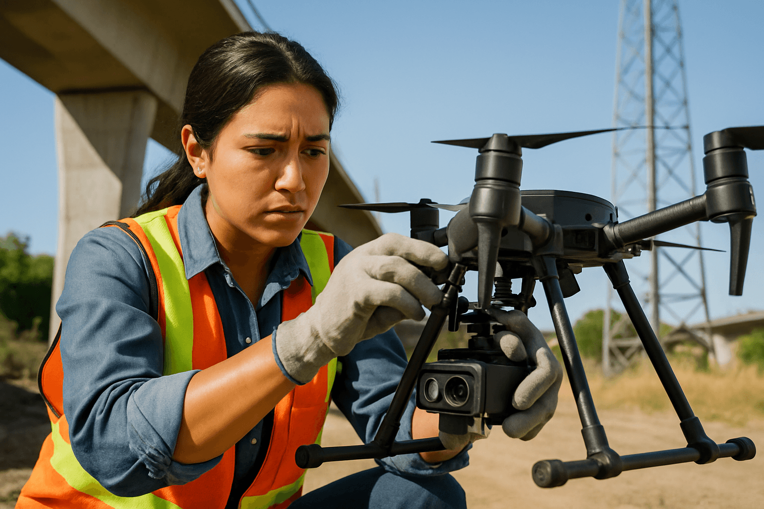
Thermal imaging drones, also known as infrared imaging or thermographic cameras, are indispensable for detecting heat anomalies and temperature variations invisible to the naked eye. These specialized sensors monitor surface temperatures and create heat maps, revealing issues like overheating components, insulation failures, electrical faults, and water leaks.
- How They Work: Thermal cameras sense infrared energy emitted by objects and convert it into visual images. Modern thermal drone cameras typically use uncooled microbolometer sensors, which are tiny heat-sensitive elements that change resistance with temperature, forming an array that produces a thermal image.
- Key Applications: They are crucial for inspecting power lines, substations, solar panels, wind turbines, and buildings, identifying hotspots or cold spots that indicate faults or energy inefficiencies. This technology is particularly effective in low light, darkness, smoke, or fog, removing the dependency on clear weather or daylight for inspections.
- Advancements: Integration with 3D LiDAR and GPS allows for comprehensive mapping and tracking of changes over time. AI models are increasingly used to process thermal data in real-time, providing actionable insights for early detection of anomalies.
LiDAR (Light Detection and Ranging) Technology: Precision 3D Mapping
LiDAR sensors are transforming infrastructure inspection by creating highly accurate 3D maps and models of structures. LiDAR works by emitting laser pulses and measuring the time it takes for the light to return, generating dense, high-resolution point clouds.
- Benefits: This technology is ideal for mapping and surveying tasks, detecting structural defects, and providing precise 3D measurements. It can identify even the smallest deformations in structures like bridges and accurately monitor road conditions.
- Applications: LiDAR drones are used for inspecting bridges, roads, power lines, and other critical infrastructure, providing detailed 3D models for sag analysis, vegetation encroachment detection, and clearance optimization. The data collected can be integrated into existing infrastructure management software, facilitating analysis, visualization, and reporting, and enabling the creation of “digital twins” for comprehensive simulation and predictive maintenance strategies.
Hyperspectral and Multispectral Imaging: Deeper Material Analysis
Hyperspectral cameras capture data across hundreds of narrow, contiguous spectral bands, far beyond a regular camera’s red, green, and blue channels. This advanced imaging technique provides highly detailed information about the composition and characteristics of objects or surfaces being scanned, enabling high-resolution material identification and anomaly detection.
- Capabilities: Hyperspectral imaging can detect material degradation, corrosion, insulation breakdown, or early-stage damage before it is visible to the naked eye. Each pixel in a hyperspectral image contains a full spectrum of data, allowing for the identification of unique “spectral signatures” of different materials or substances.
- Applications: While traditionally used in agriculture and environmental monitoring, hyperspectral drones are increasingly deployed for infrastructure inspection to identify subtle issues that other sensors might miss.
Ultrasonic (UT) Sensors: Non-Destructive Internal Assessment
Ultrasonic sensors are primarily used for non-destructive testing (NDT) to measure wall thickness and detect surface corrosion or internal defects without harming the material.
- Functionality: UT probes mounted on drones allow for safe and quick inspections of elevated or hard-to-reach areas. These sensors emit sound waves that pass through the material and bounce back, determining the material’s thickness and identifying internal flaws.
- Specific Uses: Modern UT drone systems can collect live inspection data and feature adjustable sensor arms for dynamic inspection capabilities, assessing the integrity of tanks, pipes, and chimney stacks, and identifying wall thinning or pitting in pressure vessels. Companies like Skygauge Robotics have developed drones specifically for ultrasonic testing, designed to make physical contact with surfaces for accurate readings.
Gas Sensors: Detecting Leaks and Environmental Hazards
Some drones are equipped with gas sensors capable of detecting leaks in pipelines or measuring air quality around industrial sites. These sensors play a crucial role in identifying potential hazards, preventing accidents, and minimizing environmental damage by providing early warnings of gas presence.
AI and Machine Learning: The Brains Behind the Sensors
The true power of these advanced sensors is unlocked through the integration of Artificial Intelligence (AI) and machine learning algorithms. AI is transforming drone inspections by enabling:
- Automated Data Analysis: AI algorithms can process vast amounts of data collected by drones, quickly identifying potential issues like cracks, corrosion, and vegetation growth, without extensive human intervention. This streamlines the review process and allows teams to focus on critical issues.
- Defect Detection and Classification: AI models are trained to recognize specific types of problems, such as micro-cracks in concrete or abnormal heat signatures in electrical systems, with unparalleled precision.
- Predictive Maintenance: By analyzing historical data and real-time conditions, AI can predict potential failures and forecast deterioration patterns, enabling proactive maintenance strategies. This helps prioritize maintenance efforts and extends the lifespan of assets.
- Autonomous Navigation and Operation: Advanced AI capabilities, coupled with sensor fusion (combining data from cameras, inertial measurement units, LiDAR, and GPS), allow drones to navigate autonomously, recognize objects like power poles and insulators, and maintain precise flight paths for repeatable inspections.
Future Outlook: Miniaturization, Swarms, and Enhanced Connectivity
The future of drone sensor technology for infrastructure inspection promises even more sophisticated capabilities:
- Miniaturized Sensors and Drones: The development of smaller, more powerful sensors and microdrones will enable inspections in even more confined and intricate spaces.
- Swarm Technology: Coordinated fleets of autonomous drones working together will facilitate large-scale inspection and monitoring, though the infrastructure for managing these swarms is still emerging.
- Enhanced Connectivity and Real-time Data: The rise of 5G and edge computing will make drone-powered IoT networks faster, smarter, and more autonomous, allowing for real-time data transmission, on-board processing, and instant sharing of findings with maintenance teams.
- Integration with Robotics: Hybrid drones that can physically interact with structures, such as those using suction pumps to latch onto surfaces for core sampling or ground-penetrating radar scans, are also being developed.
These advancements signify a profound shift in how critical infrastructure is monitored and maintained, moving towards a safer, more efficient, and data-driven approach that ensures the reliability and longevity of our built environment.


