Coral reefs, often called the rainforests of the sea, are biodiversity hotspots vital to marine ecosystems and human well-being. They protect coastlines, support fisheries, and drive tourism, yet these intricate underwater cities are under unprecedented threat from climate change, pollution, and human activity. Monitoring the health of these vast, often remote, and complex ecosystems has traditionally been a labor-intensive and challenging endeavor. However, advancements in drone technology are revolutionizing how scientists assess and protect these invaluable natural wonders.
The Critical Importance of Coral Reefs
Coral reefs support millions of marine species, from single-celled algae to sharks and sea turtles, making them some of the planet’s most diverse ecosystems. Beyond their ecological significance, reefs provide essential services, including coastal protection from storms, a source of food and livelihoods for millions, and a foundation for thriving tourism economies. The economic value of coral reefs is estimated at nearly $30 billion annually, with tourism contributing over $9 billion. The ongoing degradation of these ecosystems represents a significant loss for both nature and humanity.
Traditional Coral Reef Monitoring: Limitations and Challenges
Historically, monitoring coral reef health has relied heavily on in-situ methods, such as diver surveys. Marine biologists would manually identify and count species along transects or use photo-quadrats to provide fine-scale descriptions of coral bleaching events and overall reef condition. While these techniques offer detailed insights, they are limited by spatial and temporal resolution, are labor-intensive, time-consuming, expensive, and can yield fragmented data.
Satellite imagery and surveys from crewed aircraft have provided broader spatial coverage but often suffer from lower resolution, making it difficult to detect subtle changes or monitor individual corals. The sheer scale of many reef systems, such as the 2,300 km Great Barrier Reef with its approximately 3,000 individual reefs, makes comprehensive monitoring via traditional methods an enormous challenge.
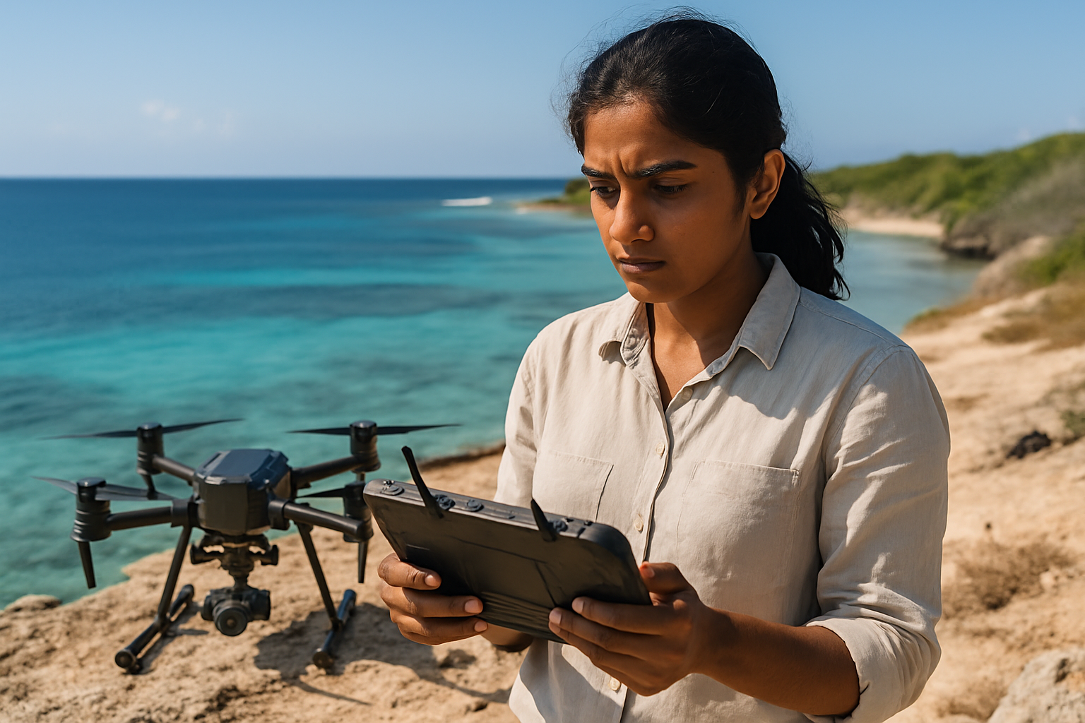
How Drones Revolutionize Coral Reef Monitoring
Drone technology, encompassing both unmanned aerial vehicles (UAVs) and increasingly autonomous underwater vehicles (AUVs), offers a transformative solution by enabling high-resolution, rapid data collection over vast areas. This “bird’s-eye view” provides unprecedented precision for mapping and monitoring coral reef ecosystems.
Types of Drones and Sensors for Reef Surveillance
Drones deployed for coral reef monitoring are equipped with a variety of advanced sensors:
- High-Resolution RGB Cameras: Standard cameras capture images in visible red, green, and blue light, allowing for detailed visual assessment and the creation of accurate 3D maps of reef structures. When combined with artificial intelligence, RGB imagery can effectively classify bleached and unbleached corals in shallow reef environments.
- Multispectral and Hyperspectral Cameras: These specialized cameras capture light across a much broader range of the electromagnetic spectrum, including visible and near-infrared light. This allows scientists to differentiate materials based on their unique spectral signatures, much like a human fingerprint. Hyperspectral cameras, for example, can use up to 270 wavelength bands, enabling the identification of coral types, precise levels of coral bleaching, and even stressed coral colonies before visible signs appear.
- Sonar and LiDAR: These technologies are used to map bathymetry (underwater topography) and structural integrity of reefs, creating detailed 3D mesh models and digital surface models.
- Thermal Imaging: Drones can also carry thermal sensors to pinpoint areas of elevated stress by detecting temperature variations.
- Water Quality Sensors: Some advanced drones are equipped to measure water quality parameters such as temperature, pH levels, and nutrient concentrations, providing a comprehensive view of reef conditions.
Data Collection and Analysis
The process typically involves flying drones at specific altitudes (e.g., 30 to 100 meters from the water’s surface for aerial drones) to capture high-resolution imagery and data. These images are then stitched together into large orthomosaic maps, providing a comprehensive view of the reef.
A significant breakthrough is the integration of Artificial Intelligence (AI) and Machine Learning (ML) for data analysis. AI algorithms process the vast amounts of data collected, creating detailed health assessments, identifying coral types, detecting coral bleaching, and tracking growth patterns and biodiversity. This automated analysis helps overcome the challenge of processing huge datasets, which would take months on a regular desktop PC.
Key Benefits of Drone-Based Monitoring
Drone-based monitoring offers several distinct advantages over traditional methods:
- High-Resolution and Detail: Drones capture images with significantly higher spatial resolution (e.g., 15 cm/pixel for hyperspectral cameras) compared to satellites (90 m/pixel), allowing for the identification and monitoring of individual corals.
- Expanded Coverage and Accessibility: Drones can survey large areas quickly and efficiently, covering vast reef sections that would take divers days to complete. They can access shallow reef flats inaccessible to divers and vessels, as well as areas hazardous due to wildlife or environmental conditions.
- Cost-Effectiveness and Efficiency: Compared to manned aircraft or extensive diver expeditions, drones offer a more cost-effective method for aerial surveys and data collection. They save time and resources by automating parts of the survey process.
- Early Detection and Proactive Intervention: Multispectral and hyperspectral imaging can detect stressed coral colonies and bleaching events before visible signs appear, enabling rapid response to potential threats.
- Reduced Disturbance: Drones can monitor marine life with minimal disturbance, which is crucial for sensitive ecosystems.
- Longitudinal Data and Change Detection: Repeated, standardized surveys allow for the creation of longitudinal datasets, which are essential for discerning trends in reef resilience or decline over time and for tracking restoration success.
Challenges and Limitations
Despite their immense potential, drone-based monitoring faces certain challenges:
- Weather Dependency: Aerial drones are sensitive to adverse weather conditions such as strong winds, rain, and cloud cover, which can reduce visibility and impact data quality. Issues like strong light reflections and optical distortions at the air-water interface also need to be managed, often by flying on windless days when the sun is low.
- Regulatory Hurdles: Aviation regulations for drone operation can impose limitations on deployment and coverage.
- Data Processing Complexity: While AI helps, the sheer volume of hyperspectral imagery data still represents challenges regarding filtering, interpretability, and computational effort.
- Battery Life and Range: Drone battery life and operational range can limit the extent of a single survey mission.
- Distinguishing Fine-Scale Classes: While providing broad coverage, drone aerial imagery can still have limitations in resolution for reliably distinguishing very fine-scale classes like specific coral morphotypes.
Real-World Applications and Future Prospects
Drone technology is already making significant impacts in coral reef conservation efforts globally:
- Great Barrier Reef Monitoring: Researchers at Queensland University of Technology (QUT), in partnership with the Australian Institute of Marine Science (AIMS), use drones with specialized hyperspectral cameras and AI to monitor the Great Barrier Reef, identifying coral types and precise levels of bleaching.
- Coral Restoration: Underwater drones, like the “LarvalBot” used on the Great Barrier Reef, are specifically designed to distribute millions of coral larvae across damaged sections, significantly accelerating restoration efforts. These autonomous vehicles can plant hundreds of coral fragments in a single mission with precision.
- Caribbean Reef Mapping Initiative (CRMI): Launched in 2019, this collaborative effort maps and restores degraded reef systems across six Caribbean nations, using specialized underwater drones to survey over 500 square kilometers of reefs.
- Biodiversity Monitoring: Drones are being used to assess sea cucumber distribution, monitor inshore dolphin species, and track seabird populations, providing insights into overall ecosystem health.
- Combined Approaches: The most effective strategies often involve a hybrid approach, combining drone data with traditional in-situ sampling and even satellite imagery for a multi-scale understanding of reef health.
The future of drone-based coral reef monitoring looks promising, with continued advancements in sensor technology, improved AI algorithms, and the potential for swarm drone technology, where multiple underwater drones coordinate to monitor and restore larger reef sections simultaneously. As these technologies evolve, they offer critical tools for understanding, managing, and ultimately protecting our planet’s endangered coral reefs.


