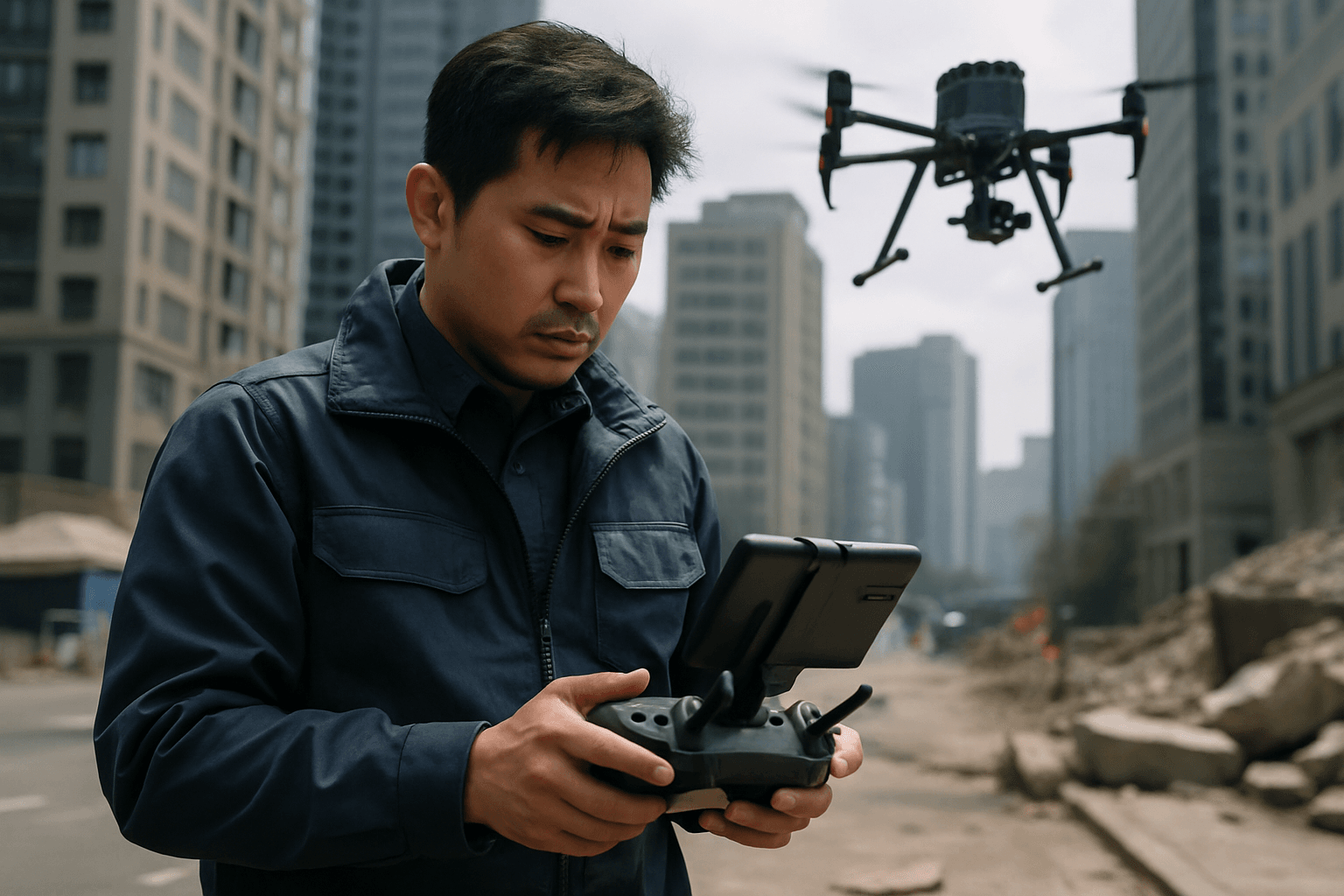
In the aftermath of urban disasters—be it an earthquake, a building collapse, or a gas explosion—every second counts. Traditional search and rescue (SAR) operations in complex urban canyons, characterized by tall buildings, narrow streets, and obstructed sightlines, face immense challenges in locating trapped individuals and assessing damage rapidly. Unmanned Aerial Systems (UAS), or drones, have emerged as transformative tools in these critical scenarios, offering an aerial perspective and advanced sensor capabilities that can drastically improve response times and save lives. However, effectively deploying these sophisticated flying assistants in the unique confines of urban canyons requires specialized strategies to overcome significant environmental and technological hurdles.
The Unique Challenges of Urban Canyons for SAR Drones
Urban canyons present a formidable environment for drone operations, far more intricate than open-field or even dense forest searches. Several key challenges must be addressed for successful drone deployment in these settings:
Navigation and GPS Signal Degradation
Tall buildings and narrow streets in urban areas can severely obstruct Global Positioning System (GPS) signals, leading to GPS signal degradation or complete denial. This can compromise a drone’s ability to maintain accurate positioning and navigate safely, increasing the risk of collisions. Drones may deviate several meters from their expected flight path in urban environments due to atmospheric conditions and GPS precision variations.
Obstacle Avoidance and Flight Path Planning
The dense concentration of structures, power lines, and other urban infrastructure creates a highly complex 3D environment. Drones need sophisticated obstacle avoidance systems to navigate safely without human intervention, particularly at high speeds. Planning optimal flight paths that ensure comprehensive coverage while avoiding hazards is a continuous challenge.
Communication Reliability and Interference
Maintaining reliable communication between the drone, its operator, and other SAR teams is paramount. Urban environments are prone to electromagnetic interference and signal attenuation, which can disrupt control links and data transmission. Conventional cellular networks are often designed for ground-level users, posing challenges for aerial drone communication due to less raw signal availability and frequent handoff issues between base stations.
Limited Line of Sight (LOS) and Visual Observers
In urban canyons, direct visual line of sight (VLOS) for drone operators can be severely restricted. While drones can operate beyond visual line of sight (BVLOS), this requires advanced regulatory approvals and robust autonomous capabilities, making it a complex aspect of deployment. Designating a visual observer is a best practice, but their effectiveness is also limited by the urban landscape.
Regulatory and Public Acceptance Issues
Operating drones in populated urban areas necessitates strict adherence to aviation regulations, which can be complex and vary by region. Additionally, public perception and privacy concerns can influence the acceptance and smooth deployment of drones in emergency situations.
Strategic Deployment Approaches for Urban Canyon SAR
To overcome these challenges, SAR teams must adopt multi-faceted drone deployment strategies that leverage advanced technology and meticulous planning.
Multi-Drone Systems and Swarm Technology
Deploying multiple drones simultaneously, often referred to as swarm technology, can significantly enhance SAR operations in urban canyons. Swarms can cover larger areas more quickly than individual drones, providing extensive aerial surveillance and mapping capabilities. These systems can be coordinated with the help of AI to carry out blanket search operations and share real-time data. Research is underway to develop algorithms that enable drones to communicate and cooperate, sharing data and adapting to dynamic conditions on the fly. Swarms can also form temporary communication networks, acting as relays where traditional infrastructure is compromised, ensuring connectivity between responders.
Advanced Sensor Payloads and AI-Powered Analysis
The effectiveness of SAR drones in urban canyons hinges on their sensor capabilities and the ability to interpret the collected data rapidly.
- Thermal Imaging Cameras: Essential for detecting heat signatures from humans, even through smoke, darkness, or rubble, making them invaluable for locating survivors in low visibility conditions.
- High-Resolution Visual Cameras: Provide detailed imagery for damage assessment, identifying hazards, and creating precise maps of disaster areas.
- LiDAR Systems: Crucial for real-time precise terrain mapping and creating detailed 3D models of complex environments, aiding in navigation and obstacle avoidance.
- Gas Sensors: Integrated gas sensors can detect hazardous gases like methane or carbon monoxide, critical for ensuring responder safety in collapsed buildings or chemical spills.
Artificial Intelligence (AI) plays a pivotal role in processing the vast amounts of data collected by these sensors. AI algorithms can analyze drone imagery at high speeds to detect human figures, backpacks, or other signs of life that might be missed by human observers. AI can also optimize search paths, considering factors like historical data, topography, and weather conditions, to direct resources to the most probable areas where survivors may be located.
Enhanced Navigation and Communication Systems
To address GPS degradation and communication challenges:
- Redundant Navigation Systems: Drones operating in urban canyons require more than just GPS. Integrating inertial navigation systems (INS), visual navigation systems (using cameras to map surroundings), and potentially alternative ground-based geospatial positioning systems or 5G cellular positioning can provide redundancy and improve accuracy in GPS-denied environments. Some control systems can maintain drone position with less than 1m accuracy even without GPS.
- Mesh Networks and Satellite Communication: Equipping drones with mesh network capabilities allows them to form ad hoc wireless networks, relaying data between each other and to ground teams, thereby extending communication range and overcoming line-of-sight limitations. Satellite communication systems can provide uninterrupted connectivity where terrestrial networks are down.
- Dynamic Communication Networks: Drones can be designed with dynamic communication networks to effectively communicate with other autonomous aerial, surface, or ground robots, significantly reducing response times.
Strategic Flight Planning and Operations
Meticulous pre-flight planning and adaptive in-flight strategies are crucial:
- Mission Planning: Developing detailed mission plans that include sector searches, line searches, or parallel search patterns, alongside optimal flight paths and contingency strategies, is essential. Understanding lost person behavior can also refine search areas.
- Environmental Assessment: Thoroughly evaluating weather conditions, potential hazards (like power lines or restricted airspace), and suitable take-off/landing sites is critical.
- Real-time Adaptation: Drone operators must be capable of adapting flight plans in real-time to changing weather, unexpected obstacles, or new information. This includes dynamically re-routing to avoid newly identified hazards or focusing on areas with potential signs of life.
- Layered Deployment: Utilizing a combination of larger drones for overall incident awareness and smaller, more agile drones (including nano-drones) for closer inspection and entering confined spaces, ventilation ducts, or collapsed structures can provide a comprehensive view.
The Future of SAR in Urban Canyons
The integration of AI and drone technology in urban SAR is continually evolving. Future advancements promise even greater autonomy and efficiency. Swarm technology will likely see further development, with multiple UAVs coordinating autonomously to cover vast areas and share real-time data. The development of highly agile drones capable of high-speed navigation while dynamically mapping and avoiding obstacles, like Hong Kong’s SUPER MAV, will be crucial for rapid assessment in complex environments. Efforts to improve drone battery life, possibly through solar power or swappable battery systems, will extend mission durations. Furthermore, developing comprehensive regulatory frameworks and fostering public trust will be vital for the widespread and effective deployment of drones in urban SAR operations.
Drones are no longer just supplementary tools; they are becoming indispensable assets that are fundamentally transforming urban search and rescue. By strategically deploying these advanced systems, SAR teams can navigate the complexities of urban canyons with unprecedented speed and precision, ultimately saving more lives.


