Drone mapping, also known as drone surveying, is the process of collecting geospatial data using unmanned aerial vehicles (UAVs). It’s a revolutionary technology that allows for the creation of high-resolution maps and 3D models of terrain and structures. This guide will provide a comprehensive tutorial on drone mapping, covering everything from the basics to advanced techniques.
What is Drone Mapping?
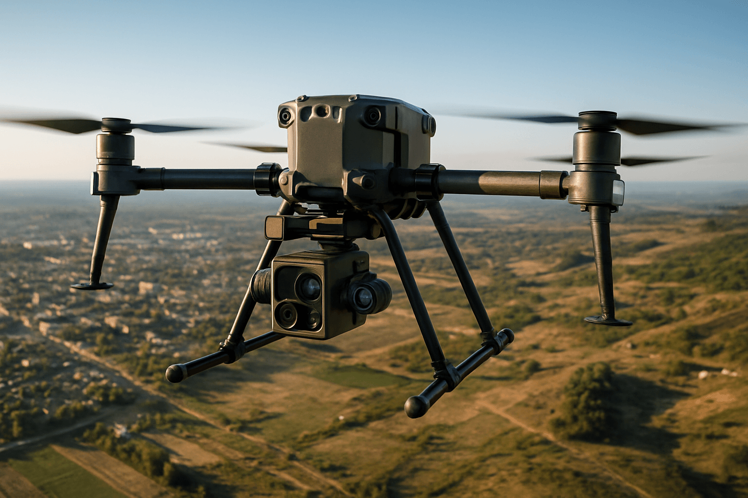
Drone mapping involves surveying an area and collecting data using drones. Drones are equipped with cameras or sensors to capture aerial images of a terrain or structure. These images are then processed to create detailed 2D maps or 3D models for analysis and decision-making. Drone mapping is faster, offers higher-quality data, and is cheaper than traditional mapping methods.
Drone Mapping vs. Traditional Mapping
| Feature | Drone Mapping | Traditional Mapping |
|---|---|---|
| Speed | Faster data collection | Slower data collection |
| Accuracy | Higher accuracy | Lower accuracy |
| Cost | Lower cost | Higher cost |
| Accessibility | Can access difficult or dangerous areas | Limited access to difficult or dangerous areas |
| Data Collection | Improved data collection | Limited data collection |
| Efficiency | Increased efficiency | Lower efficiency |
Types of Drone Maps
- Orthomosaic maps: Geometrically corrected aerial images.
- 3D maps: Created using photogrammetry or LiDAR data.
- Digital Elevation Models (DEMs): Represent the bare ground surface.
- Digital Surface Models (DSMs): Include the height of objects on the surface, like buildings and trees.
- Digital Terrain Models (DTMs): Represent the bare earth surface.
- Contour maps: Show elevation changes using contour lines.
- Thermal maps: Display temperature variations.
- NDVI maps: Assess plant health.
- Volumetric maps: Measure volumes of stockpiles or other features.
Applications of Drone Mapping
Drone mapping has a wide range of applications across various industries:
- Agriculture: Crop health monitoring, yield estimation.
- Construction: Site surveying, progress monitoring.
- Emergency Management: Disaster assessment, search and rescue.
- Environmental Conservation: Ecosystem monitoring, change detection.
- Forestry: Vegetation analysis, timber inventory.
- Inspections: Infrastructure inspection, damage assessment.
- Land Surveying: Topographic mapping, boundary surveys.
- Mining: Resource estimation, terrain analysis.
- Real Estate: Property marketing, site visualization.
- Urban Planning: City modeling, infrastructure development.
- Utility Inspections: Cell tower and power line inspections.
- Weather Forecasting: Data collection.
- Protecting Wildlife: Tracking and monitoring.
Equipment Needed for Drone Mapping
To get started with drone mapping, you’ll need the following equipment:
- Drone: A UAV equipped with a high-quality camera.
- Camera: A high-resolution camera is crucial for capturing detailed images.
- GNSS (Global Navigation Satellite System): For accurate positioning.
- Flight Planning Software: To plan and execute automated flights.
- Communication System: To control the drone and receive data.
- Long-lasting Batteries: To ensure sufficient flight time.
- Gimbal Stabilization: To stabilize the camera and reduce image blur.
- Post-Processing Software: To process the captured data and create maps and models.
- Photogrammetry Software: To create 2D and 3D maps from images.
- LiDAR Mapping Software: For detailed and accurate 3D mapping.
- Ground Control Points (GCPs): Marked locations on the ground with known coordinates for precise alignment.
- Base Station: To send corrections to the RTK drone.
- Rover Unit: For collecting GCPs.
Recommended Drones
- DJI Mavic 3 Enterprise: A great mapping drone for under $5,000.
- DJI Phantom 4 Pro: Captures beautiful videos and raw photos.
- Parrot Anafi Ai: A non-Chinese drone for mapping.
- DJI Matrice 350 RTK: For large-scale projects.
- WingtraOne: For universities and research institutes.
Drone Mapping Software
- Agisoft Metashape: For creating 3D models and maps from aerial imagery.
- DroneDeploy: For flying drones, capturing data, and generating maps.
- DJI Terra: For 2D and 3D reconstruction.
- Pix4Dmapper: For creating georeferenced 2D maps and 3D models.
- RealityCapture: For creating drone mapping projects.
- WebODM: An open-source drone mapping software.
- Emlid Studio: For geotagging drone images.
- DroneMapper: For image processing and geospatial analysis.
Step-by-Step Drone Mapping Tutorial
1. Planning the Mission
- Define the Survey Area: Determine the size and scope of the area to be mapped.
- Choose the Right Drone and Hardware: Select the appropriate drone and hardware for the job.
- Determine Data Needs: Identify the specific data that needs to be collected.
- Consider Weather Conditions: Check weather conditions and regulatory requirements.
- Flight Planning Software: Select a flight planning software.
- Ground Sampling Distance (GSD): Calculate the GSD to determine the level of detail in your images.
- Overlap: Plan for sufficient image overlap (75% front overlap and 60% side overlap).
- Altitude: Fly at an altitude between 300-400 feet above ground level (AGL).
- Time of Day: Fly on an overcast day or when the sun is directly overhead to minimize shadows.
2. Setting Up Ground Control Points (GCPs)
- Placement: Place GCPs strategically throughout the project area.
- Accuracy: Ensure GCPs are more accurate than the data you are controlling.
- Number: Use at least 5 GCPs, with more for larger areas.
- Distribution: Distribute GCPs evenly throughout the project area.
3. Capturing Data
- Camera Settings: Optimize camera settings for your specific mapping needs.
- Flight Path: Fly a precise flight path and pattern.
- Image Capture: Capture images at set intervals.
- Nadir Imagery: Position the camera to point directly at the ground.
- Oblique Imagery: Capture images from various angles and heights.
4. Processing Data
- Geotagging: Add geotags to the drone images’ EXIF data.
- Photogrammetry: Use photogrammetry software to create 2D and 3D maps.
- Point Cloud Generation: Generate point clouds from the images.
- Orthomosaic Generation: Create orthomosaics from the images.
- DEM/DSM Generation: Generate Digital Elevation Models (DEMs) and Digital Surface Models (DSMs).
- 3D Modeling: Create 3D models from the processed data.
5. Analyzing Data
- Measurements: Take linear and volumetric measurements.
- Slope Analysis: Analyze slopes and terrain.
- Site Indexing: Index and classify the site.
- Change Detection: Monitor changes over time.
- Vegetation Analysis: Assess plant health and growth.
Best Practices for Drone Mapping
- Proper Planning: Effective drone mapping starts with proper planning.
- Camera Settings: Optimize camera settings for your specific mapping needs.
- Flight Planning: Precise flight planning is essential for effective drone mapping.
- Data Processing: Process drone mapping data to create accurate maps and models.
- High-Quality Data: Use high-resolution images and accurate measurements.
- Sufficient Overlap: Ensure proper overlap in your aerial photo coverage.
- Expand the Captured Area: Capture images slightly beyond the area of interest.
- Use GCPs: Use GCPs for extra accuracy.
- Choose the Right Software: Select the appropriate software for your needs.
- Avoid Challenging Scenes: Avoid images with repeating patterns, horizons, moving objects, or large bodies of water.
Regulatory Compliance in the UK
- Civil Aviation Authority (CAA): The UK’s aviation regulator sets the rules for drone use.
- The Drone and Model Aircraft Code: Follow the guidelines in this code.
- Registration: Register as a drone operator if your drone weighs 250g or more.
- Flyer ID: Pass an online theory test and get a Flyer ID.
- Operational Categories: Understand the rules for the Open, Specific, and Certified categories.
- Airspace Restrictions: Check for airspace restrictions before flying.
- UK Drone Laws: Be aware of UK drone laws and regulations.
- Labeling: Label your drones with your Operator ID.
- SORA 2.5: Comply with the new SORA 2.5 regulations.
Key UK Drone Laws
- Never fly more than 120m (400ft) above the surface.
- Always keep your drone in sight.
- Never fly in an airport’s flight restriction zone (FRZ) without permission.
ROI and Benefits of Drone Mapping
Drone mapping offers a significant return on investment (ROI).
Key Benefits
- Increased Efficiency: Reduces the time required to survey large areas.
- Improved Accuracy: Provides high-resolution images and precise data.
- Enhanced Safety: Eliminates the need for personnel to access hazardous areas.
- Better Decision-Making: Enables better decision-making in project planning.
- Cost Savings: Reduces labor costs and project timelines.
- Improved Data Collection: Collects more detailed and up-to-date information.
- Increased Accessibility: Accesses areas that are difficult to reach.
- Enhanced Surveying and Mapping: Provides detailed aerial imagery and accurate 3D models.
- Identifying Cost-Saving Potential: Helps identify design flaws and inconsistencies early on.
Calculating ROI
To calculate the ROI of a drone program:
- Identify the Need: Determine the specific problem you are trying to solve with drones.
- Determine the Costs: Calculate all the costs associated with the drone program.
- Identify Gains: Determine the benefits and savings that the drone program will provide.
- Apply the ROI Equation: (Net Gains / Costs) x 100 = ROI Percentage.
Conclusion
Drone mapping is a powerful tool that can revolutionize various industries. By following this comprehensive guide, you can get started with drone mapping and unlock its many benefits. Remember to always prioritize safety and comply with all regulations.


