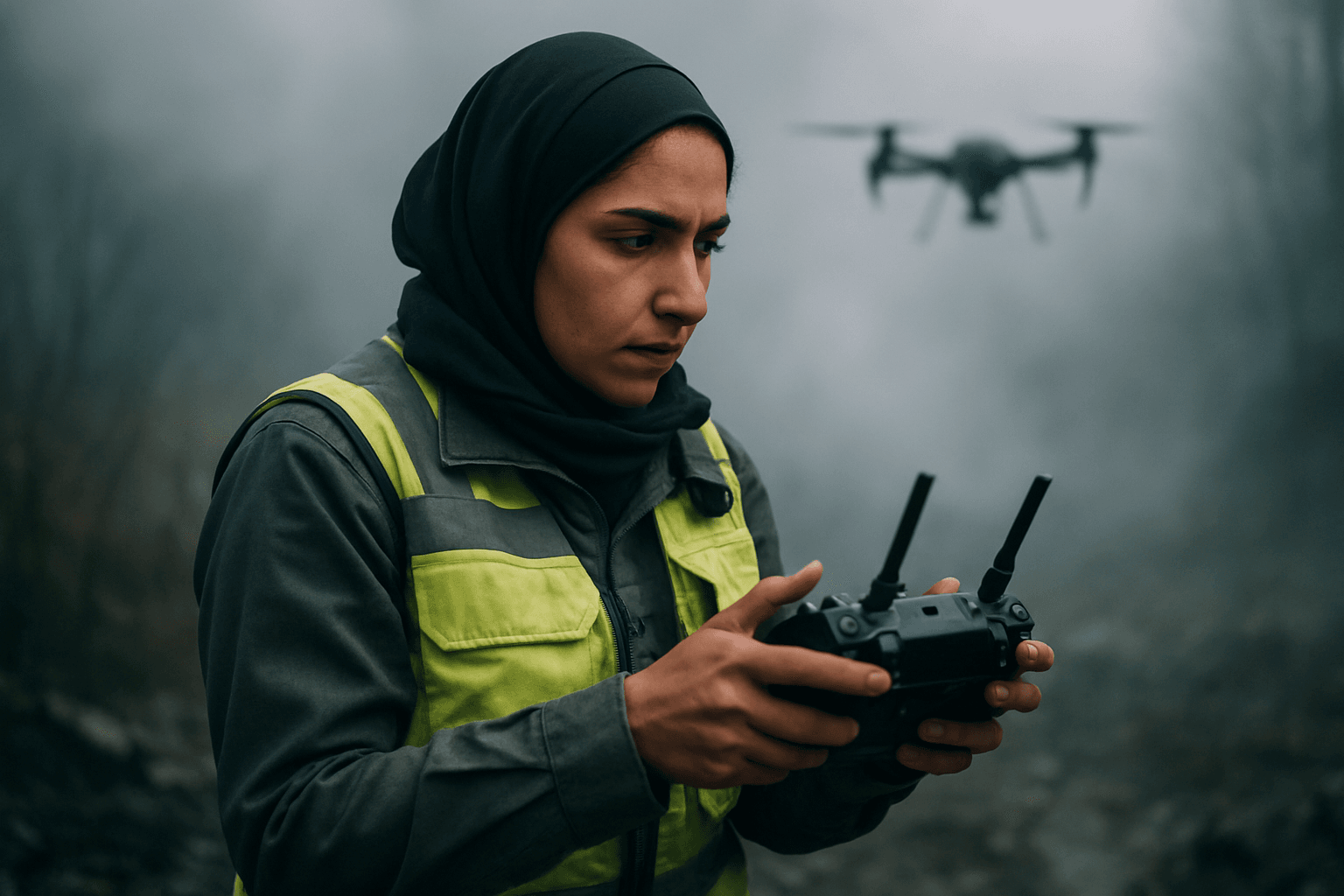
In search and rescue (SAR) operations, every second counts, yet challenging environmental conditions like dense fog and thick smoke can severely hinder traditional search methods. Unmanned Aerial Systems (UAS), or drones, equipped with advanced technologies, are rapidly transforming the capabilities of SAR teams, offering crucial strategies to locate individuals even when visibility is near zero. These aerial platforms provide an indispensable “eye in the sky,” enhancing safety for rescuers and significantly improving the chances of a successful outcome.
Overcoming Low Visibility: Key Drone Technologies
Drones leverage a suite of specialized sensors and intelligent software to penetrate environmental obscurants such as fog and smoke, which scatter visible light and make traditional optical cameras ineffective.
Thermal Imaging (Infrared Cameras)
Thermal drones are one of the most game-changing tools in low-visibility SAR. They are equipped with infrared cameras that detect heat signatures emitted by objects, including human bodies, rather than relying on visible light. This capability allows rescuers to “see” through darkness, smoke, fog, and even dense foliage, making it possible to identify individuals who would otherwise be invisible.
- How it Works: Thermal cameras convert infrared radiation into a visible image, typically using contrasting colors to represent temperature differences (e.g., red for warm, blue for cool). This allows a lost person’s body heat to appear as a bright spot against a cooler background, even in complete darkness or obscured conditions.
- Applications: Thermal imaging is vital for nighttime operations, wildfire response (to find victims and identify hotspots), and locating individuals in dense forests or collapsed structures where smoke or debris obscure direct sight.
- Benefits: Rapid deployment, improved search accuracy, enhanced safety for rescuers by providing real-time aerial surveillance from a safe distance, and faster coverage of large areas.
LiDAR (Light Detection and Ranging)
LiDAR technology uses laser pulses to measure distances and create highly accurate 3D maps of an environment. While primarily used for mapping and terrain assessment, LiDAR can assist in low-visibility SAR by providing a clear understanding of the terrain and potential obstacles, which is crucial for navigation and identifying safe rescue routes.
- How it Works: LiDAR systems on drones emit laser beams and measure the time it takes for the light to return after hitting an object. This data generates precise 3D point clouds, which can reveal structures and ground features beneath smoke or dense canopies that might be missed by other sensors.
- Applications: Creating detailed maps of disaster zones, assessing structural damage in collapsed buildings, identifying hazards, and optimizing flight paths for drones and ground teams in complex, obstructed environments.
- Limitations: While LiDAR can penetrate some obscurants, its resolution may be limited compared to visual cameras, and its effectiveness can diminish with distance and extreme particle density.
Radar Systems
Radar sensors, particularly millimeter-wave (mmWave) radar, can also be integrated into drones. These systems use radio waves, which are less affected by atmospheric conditions like fog and smoke than visible light or infrared, allowing for obstacle detection and navigation in extremely poor visibility.
- How it Works: Radar emits radio waves and measures the reflections to detect objects and their distance. This provides drones with an awareness of their surroundings for safe flight, even when other sensors are compromised.
- Applications: Ensuring safe drone navigation and collision avoidance in conditions where visual line-of-sight is impossible, supplementing other sensor data.
Advanced Processing and Integration
Beyond individual sensors, the effectiveness of drones in challenging SAR scenarios is significantly amplified by advanced processing capabilities and integrated systems.
Sensor Fusion
Sensor fusion combines data from multiple onboard sensors, such as visual cameras, thermal imagers, LiDAR, and GPS. By integrating these diverse data streams, sensor fusion algorithms can overcome the limitations of any single sensor, providing a more comprehensive and reliable understanding of the environment. For instance, visual data can offer high resolution, thermal sensors can detect heat, and LiDAR can create 3D maps, with AI cross-validating detections to reduce false positives.
Artificial Intelligence (AI) and Machine Learning (ML)
AI and ML are revolutionizing drone-based SAR by enabling autonomous flight, object detection, and data analysis.
- Autonomous Navigation: AI algorithms, such as Simultaneous Localization and Mapping (SLAM) and visual odometry, allow drones to navigate autonomously through complex environments and create real-time maps, even in areas with poor GPS signals like dense forests. This is critical for efficient coverage of search areas.
- Object Detection and Recognition: AI-powered systems can analyze vast amounts of visual and thermal data collected by drones to identify potential survivors, hazards, or changes in the environment. Custom-trained models, like YOLO (You Only Look Once), can detect people in thermal videos, even under challenging conditions with complex backgrounds or occluded targets.
- Decision Support: AI provides decision support by rapidly processing and interpreting data, highlighting areas of interest, and suggesting potential survivor locations, thereby aiding in resource allocation and reducing the cognitive load on human operators.
- Aerial Person Detection (APD): New AI-powered APD systems specifically designed for SAR improve the detection of individuals in aerial images by addressing challenges like occlusion, scale variation, and changing lighting conditions, enhancing precision and reliability, especially in remote areas.
Operational Strategies for SAR Drones
Effective drone deployment in low-visibility conditions also relies on optimized operational strategies and specialized flight patterns.
Optimized Flight Patterns
Automated flight patterns are crucial for systematically covering large or complex search areas. These patterns, such as expanding square, creeping line, single/double-pass parallel, grid, and sector searches, are optimized for specific environments (dense forests, open fields, water) and critical mission variables like flight speed, altitude, sensor type, and gimbal angle. Experiences from regions like Norway, with challenging winter conditions and low cloud bases, highlight the importance of adapting flight protocols and often flying at lower altitudes (e.g., 100m) for better detection rates.
Real-time Data Transmission and Analysis
Drones transmit live video feeds and sensor data to ground teams, providing instant information for rapid decision-making. This real-time situational awareness is critical for assessing dangers, coordinating rescue efforts, and quickly pinpointing locations.
Multi-Drone Systems
While still an area of ongoing research, multi-drone systems, or drone swarms, hold significant potential. These systems can cover larger search areas more quickly than single drones, increasing the probability of detection. However, challenges related to visualization, situational awareness for operators, and technical coordination need to be addressed for widespread implementation.
Challenges and Future Outlook
Despite these advancements, challenges remain, including sensor range limitations in extremely dense obscurants, resolution trade-offs, environmental factors like wind and extreme temperatures, and regulatory constraints. However, ongoing advancements in battery life, higher-resolution thermal sensors, and more sophisticated AI promise to make drones an even more indispensable tool in SAR. The integration of AI with multimodal data fusion offers a more precise and adaptable approach to locating individuals in complex environments, ensuring faster, safer, and more effective search and rescue operations.


