Traditional methods of air quality monitoring, often relying on fixed ground stations or sporadic manned aircraft missions, frequently struggle to provide comprehensive, real-time, and spatially detailed data across expansive or hard-to-reach areas. This limitation makes it challenging to pinpoint pollution sources, understand dispersion patterns, and respond effectively to environmental emergencies. Enter the drone, an unmanned aerial vehicle (UAV) that is rapidly transforming our ability to measure and monitor air quality with unprecedented flexibility, accuracy, and efficiency.
The Growing Need for Advanced Air Quality Monitoring
Air pollution poses a significant threat to human health, ecosystems, and the global climate. Understanding its composition, sources, and movement is crucial for developing effective mitigation strategies and enforcing environmental regulations. However, the sheer scale and dynamic nature of atmospheric processes mean that traditional monitoring infrastructures often fall short. Fixed stations provide localized data points, but lack the mobility to map pollution across diverse terrains or at varying altitudes. Manned aircraft, while capable, are often expensive and limited to less frequent, broader analyses, and may struggle with close-to-ground measurements or hazardous zones.
Drones as a Game-Changer in Air Quality Measurement
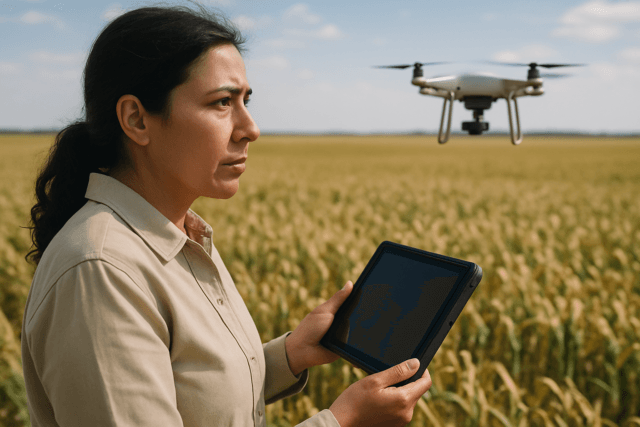
Drones offer a compelling solution to these challenges, acting as versatile platforms for carrying specialized air quality sensors into the atmosphere. Their ability to navigate complex environments, collect data at multiple altitudes, and provide real-time feedback makes them invaluable tools for environmental monitoring.
Advantages of Drone-Based Systems
The integration of drones into air quality monitoring brings several significant benefits:
- Enhanced Mobility and Flexibility: Drones can be deployed rapidly and maneuvered to monitor specific areas, including remote, hazardous, or inaccessible locations like industrial sites, high-traffic zones, or post-disaster areas, without risking human exposure. They can fly along roads, railways, and transit hubs, far beyond the reach of stationary monitors.
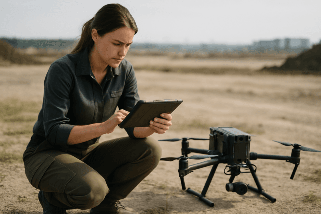
- Real-time and High-Resolution Data: Equipped with advanced sensors, drones deliver instant, high-precision data on pollutants and can track emissions at different altitudes, providing detailed, localized insights and helping to quickly detect emission spikes or abnormal pollutant levels. This enables real-time 3D pollution mapping.
- Cost-Effectiveness: Compared to installing and maintaining numerous fixed monitoring stations or employing manned aircraft, drones offer a more affordable and flexible option, reducing equipment, labor, and maintenance costs.
- Spatial and Temporal Resolution: Drones can quickly collect data across large areas, generating high-quality records and detailed images that capture the intricacies of environmental change. This allows for more frequent monitoring and a better understanding of pollutant dispersion over time and space.
- Reduced Human Risk: Drones eliminate the need to send personnel into dangerous or high-risk environments, such as areas with toxic plumes, industrial leaks, or during emergency responses to chemical spills or wildfires.
Key Applications of Drones in Air Quality Measurement
The versatility of drones has led to their adoption across various critical air quality monitoring applications:
Industrial Emission Monitoring
Drones are increasingly used to monitor emissions from industrial facilities such as factories, power plants, refineries, and oil and gas operations. They can detect fugitive methane and other greenhouse gas (GHG) emissions, assess flue gas composition from smokestacks, and ensure compliance with environmental regulations. This helps identify leaks and prevent excess pollution before it becomes a major liability.
Urban Air Quality Mapping
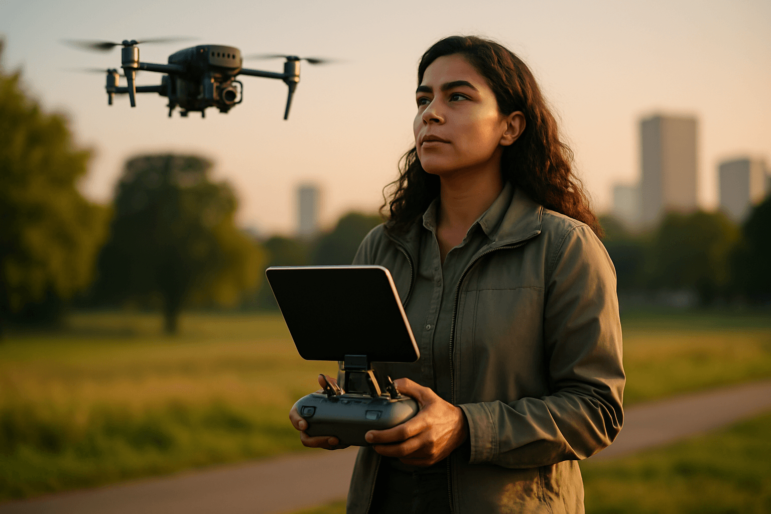
In urban environments, drones can map pollution patterns at street level and identify localized hotspots, providing critical data for urban planning, traffic management, and public health initiatives. They can create 2D and 3D distribution maps of air pollutants, offering a clear visual of air quality.
Monitoring of Hazardous Environments and Emergency Response
During environmental emergencies like chemical leaks, wildfires, or volcanic eruptions, drones can provide critical air quality data without risking human lives. Their ability to penetrate dangerous areas makes them indispensable for rapid assessment and response.
Agricultural and Landfill Emissions
Drones can monitor emissions from large agricultural facilities and landfills, detecting gases such as methane and ammonia. This helps in managing waste, identifying potential environmental hazards, and assessing contributions to greenhouse gas emissions.
Atmospheric Research and Climate Studies
Scientists are utilizing drones for atmospheric research, including vertical profiling of CO2 and other pollutants, measuring standard meteorological parameters like temperature and humidity, and studying cloud particles and greenhouse gases. Drones offer a cost-effective alternative for observing the lower atmosphere and filling data gaps between surface measurements and higher-altitude observations. They can also be used to track ship emissions to ensure compliance with global sulfur emission limits.
Essential Components of a Drone-Based Air Quality System
A functional drone-based air quality measurement system comprises several key elements:
Drone Platforms
Both rotary-wing (multirotor) and fixed-wing drones are employed. Rotary-wing drones excel in vertical measurements and hovering for precise point sampling, while fixed-wing drones, like the Prana VTOL, offer longer flight ranges (up to 90 km) for large-scale mapping and environmental research. The choice depends on the specific monitoring requirements and payload capacity.
Sensor Technologies
Drones are equipped with miniaturized, lightweight sensors capable of detecting a wide array of pollutants. Common sensors include:
- Electrochemical Sensors: For gases like Sulfur Dioxide (SO₂), Nitrogen Dioxide (NO₂), Carbon Monoxide (CO), Ozone (O₃), Hydrogen Sulfide (H₂S), and Ammonia (NH₃).
- Particulate Matter (PM) Sensors: To measure PM1, PM2.5, and PM10, which are fine airborne particles.
- Photo-Ionization Detection (PID) Sensors: For Total Volatile Organic Compounds (TVOCs) and other harmful organic gases.
- Non-Dispersive Infrared (NDIR) Sensors: Specifically for Carbon Dioxide (CO₂) and Methane (CH₄).
- Additional Environmental Sensors: Many drones also carry sensors for temperature, humidity, and barometric pressure, which are crucial for interpreting air quality data.
Data Processing and Analytics
Drones collect geo-referenced data with latitude, longitude, altitude, and time stamps. This raw data is then processed using specialized software to generate real-time air pollution concentration distribution maps, including 2D grid/isoline maps and 3D point cloud models, making pollution distribution clear and actionable. Integration with cloud-based systems further enhances scalability and accessibility for advanced analysis.
Challenges and Future Outlook
Despite their significant advantages, drone-based air quality monitoring faces challenges. Regulatory constraints on drone flight locations and times can impact data collection, particularly in sensitive zones. Battery life can limit flight duration, and the drone’s propellers can generate turbulence that may affect sensor accuracy, requiring careful sensor placement and data compensation algorithms. Moreover, while low-cost sensors are widely used, there’s a need for more advanced, lightweight instrumentation for comprehensive detection of all pollutants, including certain Volatile Organic Compounds (VOCs).
The future of drones in air quality measurement is bright. Ongoing research focuses on improving sensor accuracy, extending flight times, developing more sophisticated data analytics, and integrating artificial intelligence and machine learning for predictive modeling. As technology advances and regulations adapt, drones will become even more integral to environmental management, helping to safeguard public health and promote a cleaner atmosphere.