In the chaotic aftermath of a disaster, every second counts. Traditional ground-based assessment methods are often slow, dangerous, and limited by impassable terrain, hindering the swift delivery of aid and effective rescue operations. However, the advent of Unmanned Aerial Vehicles (UAVs), commonly known as drones, has dramatically reshaped this critical phase of disaster management, offering an indispensable aerial advantage for rapid, safe, and comprehensive disaster zone assessment.
The Indispensable Role of Drones in Disaster Response
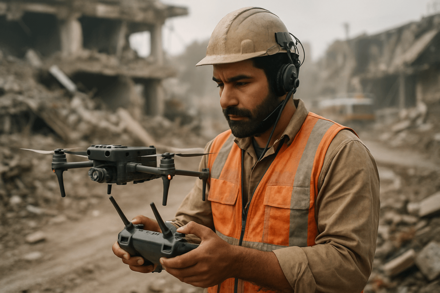
Drones have emerged as game-changers in disaster response, providing capabilities that significantly enhance efficiency, safety, and data accuracy. Their ability to quickly reach affected areas and gather critical information minimizes risks for human responders and accelerates the overall recovery process.
Rapid Deployment and Accessibility
One of the most significant advantages of drones is their ability to be deployed quickly and easily, especially compared to manned aircraft like helicopters. They can access areas that are dangerous, remote, or made inaccessible by debris, flooding, or damaged infrastructure, such as collapsed buildings or blocked roads. Vertical Takeoff and Landing (VTOL) drones, in particular, offer flexibility in confined spaces and can cover large distances even when traditional transportation routes are destroyed.
Enhanced Safety for Responders
Drones minimize the risk to emergency personnel by allowing remote operation and gathering data from hazardous environments. For instance, during the Fukushima Daiichi nuclear disaster in 2011, drones surveyed the extent of the damage without risking human lives due to radiation exposure. They can also monitor hazardous areas, such as sites with potential chemical spills or unstable structures, to detect risks and alert workers.
Comprehensive Data Collection
Equipped with advanced sensors, drones can collect high-resolution images, videos, and various types of data in real-time. This crucial information provides responders with immediate situational awareness, enabling them to make informed decisions and prioritize aid effectively. This real-time data flow is vital for understanding the scale and severity of a disaster and for directing resources to the most affected areas.
Key Drone Applications in Disaster Zone Assessment
The versatility of drones allows for a wide range of applications in assessing disaster zones, from mapping damage to supporting search and rescue efforts.
Damage Assessment and Mapping
Drones are invaluable for quickly surveying landscapes and creating detailed 2D or 3D models of disaster sites. They capture high-resolution images and videos, which can be processed to assess damage to infrastructure, houses, and the environment. This data helps identify affected areas, prioritize aid, and plan reconstruction efforts. For example, drones were used to map the landslide in Oso, Washington, in 2014 and to survey flooded areas after Hurricane Harvey in Houston in 2017.
Search and Rescue Operations
Drones significantly enhance search and rescue (SAR) missions. Equipped with thermal imaging sensors, they can detect heat signatures from human bodies, allowing rescuers to locate survivors even through debris, dense foliage, or in darkness. High-powered lights and loudspeakers can also be integrated to cut through darkness, provide visual guidance, or relay instructions to survivors. Mobile phone detection payloads, such as IMSI catchers, can pinpoint individuals by detecting their phone signals, even if the phones are out of service range.
Infrastructure Inspection
After a disaster, critical infrastructure like bridges, power lines, and dams need rapid inspection to determine their safety and functionality. Drones can perform structural analyses of damaged infrastructure, providing data that helps assess the extent of damage and plan repairs. This is crucial for preventing further accidents and ensuring a faster recovery.
Environmental Monitoring
Drones also play a vital role in assessing the environmental impact of disasters. They can be equipped with sensors to detect hazardous gases, measure radiation levels, and monitor pollution from oil spills or chemical leaks. This information is essential for long-term environmental recovery efforts.
Logistics and Delivery Support
In situations where ground transport is impossible due to damaged roads, drones can deliver essential supplies like food, water, medical aid, and communication equipment to isolated populations. This capability was demonstrated after the 2024 Noto Peninsula earthquake in Japan, where a drone delivered medicine to an isolated school. Drones can also act as temporary communication relays, reestablishing networks when traditional infrastructure is compromised.
Types of Drones and Their Specialized Payloads
The effectiveness of drones in disaster assessment is largely due to their diverse designs and the specialized payloads they can carry.
Fixed-Wing Drones
These drones are designed for long-range flights and high-resolution aerial mapping, making them suitable for surveying vast areas efficiently. Their speed and endurance are ideal for damage assessment over large geographical regions. Examples include the SenseFly eBee X.
Multi-Rotor Drones
Multi-rotor drones are highly maneuverable and can hover in place, making them excellent for capturing detailed images or videos from various angles, especially in confined areas. They are popular for search and rescue operations due to their agility. The DJI Phantom 4 RTK, Parrot Anafi USA, and DJI Matrice 300 RTK are examples of multi-rotor drones used in disaster management.
Hybrid VTOL Drones
Combining the benefits of both fixed-wing and multi-rotor drones, hybrid VTOL (Vertical Takeoff and Landing) drones can take off and land vertically while also flying long distances. This makes them highly versatile for disaster response, offering both rapid deployment and broad coverage.
Specialized Sensors and Payloads
The true power of disaster response drones lies in their customizable payloads:
- RGB and Thermal Cameras: High-resolution RGB (visual) cameras provide detailed visual data for reconnaissance and damage assessment. Thermal (infrared) cameras detect heat signatures, crucial for locating survivors in low visibility or under debris. Many drones combine these into EO/IR (Electro-Optical/Infrared) gimbals for day and night operations.
- LiDAR Sensors: Light Detection and Ranging (LiDAR) technology uses laser pulses to create highly precise 3D models of terrain and structures. It’s especially useful for mapping areas with dense vegetation or complex topography and for assessing subtle elevation changes caused by floods or landslides.
- Speakers and Spotlights: Loudspeakers can relay instructions to survivors or coordinate ground teams, while high-powered spotlights enhance visibility during night operations.
- Cargo Drop Systems: Drones can carry and deliver essential items like medical kits, water, and food to hard-to-reach victims.
- IMSI Catchers & Mobile Phone Detectors: These payloads can detect and locate mobile phone signals, helping to find trapped individuals even when communication networks are down.
Challenges and Future Outlook
Despite their immense potential, the widespread adoption of drones in disaster zone assessment faces several challenges.
Regulatory Hurdles and Airspace Management
Complex and varying national and local regulations regarding drone usage, including no-fly zones, altitude limits, and licensing, can delay deployment during emergencies. Integrating UAVs safely into shared airspace with manned aircraft requires careful management and clear protocols. The development of pre-approved disaster management protocols and emergency-specific certifications could help streamline operations.
Battery Life and Endurance
Limited battery life restricts drone flight times and operational range, especially in large-scale disasters. Advancements in battery technology, such as solar-powered drones or swappable battery systems, are crucial for extended missions. Deploying coordinated fleets of drones can also ensure continuous coverage while individual units recharge.
Data Processing and Integration
Drones generate massive amounts of data, including high-resolution images, videos, and sensor readings. Managing and analyzing this data in real-time to derive actionable insights can be overwhelming. Efficient data processing and integration with existing disaster management systems are vital for maximizing the utility of drone-collected information.
AI and Autonomous Capabilities
The future of drones in disaster assessment lies in enhanced autonomy and AI integration. AI and machine learning algorithms can process drone data more rapidly, identifying objects, creating maps during flight, and improving decision-making. Autonomous fleets could coordinate missions, covering larger areas with less human intervention, further increasing efficiency and safety.
Conclusion
Drones have undeniably transformed disaster zone assessment, offering unprecedented speed, safety, and data accuracy to emergency response efforts. From rapid damage mapping and vital search and rescue operations to infrastructure inspection and critical supply delivery, UAVs provide a versatile and indispensable tool. While regulatory hurdles, battery limitations, and data management challenges remain, ongoing technological advancements, particularly in AI and autonomy, promise to further integrate drones into comprehensive disaster management strategies. As these “flying robots” continue to evolve, their role in mitigating the impact of emergencies and saving lives will only grow, cementing their status as essential assets in a world increasingly vulnerable to natural and man-made catastrophes.


