Forest fires are an escalating global threat, devastating ecosystems, endangering lives, and causing billions in economic damage annually. Traditional wildfire management often struggles with the vast, unpredictable, and hazardous nature of these events. However, a new era in wildfire response is unfolding, with Unmanned Aerial Vehicles (UAVs), commonly known as drones, emerging as a transformative technology. These versatile devices are revolutionizing how we detect, monitor, and manage forest fires, offering unprecedented speed, safety, and data accuracy.
The Escalating Challenge of Forest Fires
Wildfires are becoming more frequent and intense due to factors like climate change, prolonged droughts, and increased fuel loads, straining traditional firefighting resources. Ground-based crews often face challenges accessing remote or rugged terrains, delaying crucial response efforts. The sheer scale and intensity of modern wildfires can quickly overwhelm conventional methods, highlighting an urgent need for advanced and adaptive approaches.
Drones: A Game-Changer in Wildfire Management
Drones provide an indispensable tool in wildfire management, from initial detection to post-incident recovery. Their rapid deployment and ability to carry various sensors offer detailed insights into a fire’s spread and speed, aiding in effective relief plans and reducing risks for ground crews.
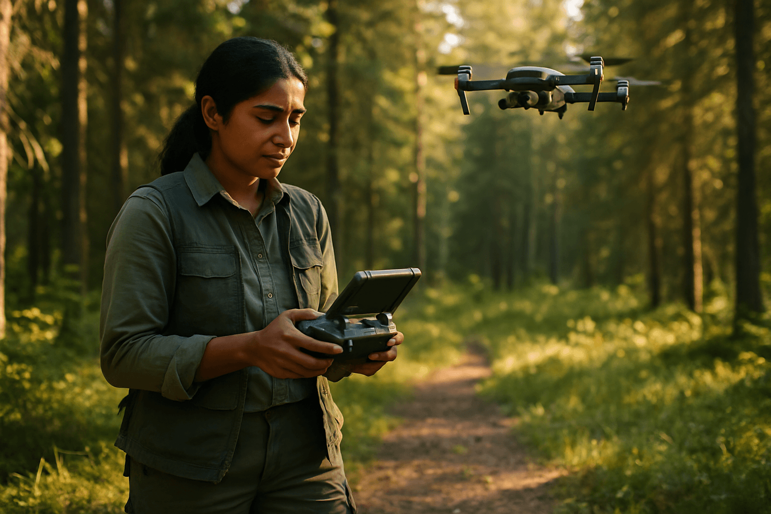
Early Detection and Surveillance
Early detection is paramount in preventing small fires from escalating into widespread destruction. Drones equipped with advanced cameras and artificial intelligence (AI) can provide firefighters with valuable time for a swift response. Unlike traditional lookout towers or satellite imagery, drones can fly over high-risk areas, detecting subtle changes in heat or air composition long before flames are visible, even through dense smoke or at night. Thermal cameras, a key sensor, are capable of detecting heat signatures invisible to the naked eye, identifying hotspots and smoldering areas through thick smoke and dense vegetation.
Real-time Data and Mapping
Once a fire is detected, understanding its progression is critical. Drones excel at providing real-time data and mapping capabilities. They can quickly survey and map affected areas, delivering crucial information to agencies within minutes. This aerial perspective allows incident commanders to assess fire extent, behavior, and direction, identifying hot spots and aiding in strategic decision-making and resource allocation. High-resolution imagery and 3D mapping capabilities also assist in planning containment lines and understanding fire spread patterns.
Fire Suppression and Support
While drones are primarily monitoring and data-gathering tools, their role is expanding to active fire suppression support. Some advanced firefighting drones are capable of carrying payloads of water or fire-retardant substances, allowing for direct application to fire areas, especially in places inaccessible to ground crews. Additionally, projects like those at the University of Nebraska-Lincoln are developing “fire-bombing” drones equipped with GPS and infrared cameras to safely ignite prescribed burns from a distance, minimizing risk to firefighters.
Post-Fire Assessment and Recovery
After a fire is contained, drones continue to play a critical role. They swiftly survey large areas to provide detailed data essential for recovery efforts. This aerial perspective helps in accurate damage assessment, facilitating insurance claims and guiding restoration planning. Drones can also conduct environmental impact assessments, helping authorities understand the fire’s effects on ecosystems and implement effective recovery strategies. LiDAR technology, for instance, can penetrate foliage to assess damage to the forest floor.
Key Technologies and Drone Capabilities
The effectiveness of drones in wildfire management is bolstered by a suite of advanced technologies.
Sensor Systems
Modern wildfire drones are equipped with a variety of sophisticated sensors:
- Thermal Cameras: Detect infrared radiation (heat signatures) to locate hotspots, see through smoke, and operate in darkness.
- Visual Cameras: Provide high-resolution optical imagery for mapping and general surveillance.
- Multispectral Cameras: Capture data across different light spectra to assess vegetation health and fire intensity.
- LiDAR (Light Detection and Ranging): Creates precise 3D maps of terrain, even through dense vegetation, aiding in damage assessment and understanding topography.
- Gas Sensors: Can detect gases like hydrogen and carbon monoxide released during the early stages of a fire, providing ultra-early warnings.
AI and Machine Learning
Artificial intelligence (AI) is transforming drone capabilities in wildfire management. AI algorithms can analyze vast amounts of data collected by drones to detect anomalies like smoke plumes and fire fronts, even when they are small and difficult to spot with the naked eye. This enables rapid and accurate identification of fire threats. AI also powers predictive modeling, forecasting fire spread based on real-time data and environmental variables, optimizing resource deployment and evacuation planning.
Autonomous Flight and Swarm Technology
Autonomous drones, guided by AI, can navigate complex terrains and conduct prolonged missions without human intervention, covering larger areas more thoroughly. Swarm technology, still in development, envisions multiple drones working collaboratively and autonomously to cover vast areas simultaneously, providing comprehensive surveillance and coordinated firefighting actions. Companies like FireSwarm Solutions are pioneering ultra-heavy-lift drones with AI-powered swarm algorithms for fire suppression.
Advantages of Drone Deployment
The integration of drones into wildfire management offers several significant benefits:
- Enhanced Safety: Drones reduce the risk to human firefighters by accessing hazardous or inaccessible areas, providing critical intelligence without endangering lives.
- Speed and Rapid Deployment: Drones can be quickly dispatched to emerging fire zones, offering immediate reconnaissance and assessment, often within minutes.
- Cost-Effectiveness: Compared to traditional manned aircraft like helicopters, drones offer a more cost-effective solution for aerial surveillance and data collection.
- Continuous Monitoring: Drones provide real-time, continuous data on fire behavior, progression, and environmental conditions, aiding in strategic decision-making around the clock.
- Accessibility: They can operate in conditions that might ground conventional aircraft, such as low visibility due to smoke or at night.
Challenges and Limitations
Despite their immense potential, drones in wildfire management face certain challenges:
- Regulatory Hurdles: Airspace regulations and the need for special permissions can sometimes limit drone operations, particularly for unauthorized private drones which can interfere with official firefighting aircraft and pose collision risks.
- Battery Life and Flight Duration: Current battery technology can limit flight times and distances, requiring frequent recharging or battery swaps.
- Payload Capacity: Smaller drones have limitations on the weight of suppressants or other heavy tools they can carry, especially in high-altitude or hot conditions.
- Weather Dependency: High winds and severe weather can reduce drone capabilities and flight times.
- Data Links and Connectivity: Maintaining reliable communication between the drone and its controller can be problematic in remote or smoky environments.
- Integration with Existing Systems: Seamlessly integrating drone data into existing incident command and firefighting systems requires robust infrastructure and protocols.
The Future of Drone Technology in Wildfire Management
The future of drone technology in wildfire management is rapidly evolving. Researchers are developing fully autonomous drones capable of predicting fire spread and working in coordinated swarms to detect and suppress fires. The integration of drones with AI, IoT (Internet of Things) devices, and satellite imagery promises comprehensive, real-time fire management systems that can enhance early detection, optimize resource deployment, and improve decision-making processes. As climate change continues to exacerbate the wildfire crisis, drone technology is becoming an increasingly essential tool for prevention, detection, and response, safeguarding lives, property, and natural resources.


