The application of drone technology has revolutionized environmental impact assessment (EIA) and broader environmental monitoring efforts, offering unprecedented efficiency, precision, and access to critical data. Unmanned Aerial Vehicles (UAVs), commonly known as drones, provide a cost-effective and rapid alternative to traditional methods, enabling comprehensive analysis of potential environmental implications for various projects.
The Rise of Drones in Environmental Monitoring
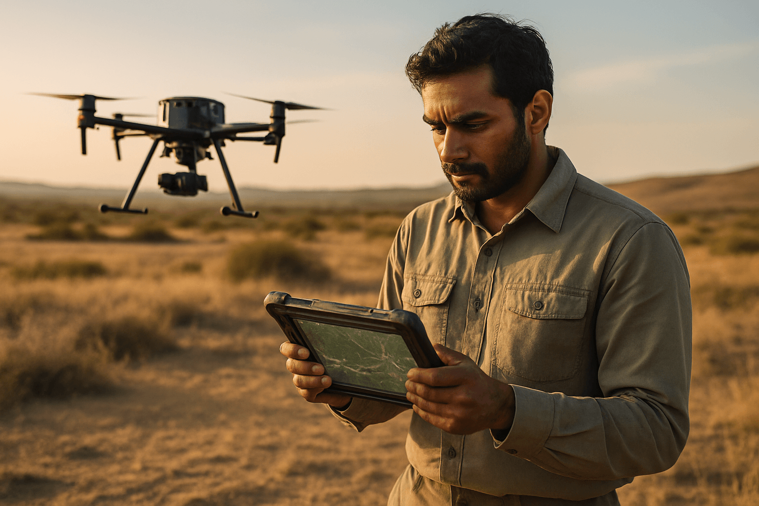
Drones have transformed how environmental data is collected and analyzed, becoming indispensable tools for understanding and preserving natural ecosystems. Their ability to access remote and challenging terrains, coupled with the capacity to gather high-resolution, real-time data, makes them invaluable for a wide range of environmental applications.
Advantages Over Traditional Methods
Historically, environmental assessments relied on satellite imagery and ground surveys, which often suffered from inadequate scale, sporadic update frequencies, and high costs. Drones overcome these limitations by providing:
- Enhanced Data Accuracy and Resolution: Drones can fly at lower altitudes than satellites, capturing highly detailed images and sensor data with superior precision, sometimes down to 1.7cm/pix. This allows for a more accurate representation of environmental conditions.
- Cost-Effectiveness and Efficiency: By reducing the need for piloted aircraft and extensive ground crews, drones offer an economical solution for data gathering, saving organizations significant resources and manpower.
- Real-time Monitoring Capabilities: Drones provide immediate information through live-feed capabilities, which is crucial for timely assessments during natural disasters or environmental emergencies, enabling rapid intervention.
- Access to Remote and Hazardous Areas: Drones can survey areas difficult or dangerous for humans to access, such as dense forests, wetlands, riverbanks, or areas affected by spills, extending monitoring capabilities into previously unreachable environments.
- Repeatability for Trend Analysis: Preprogrammed flight paths ensure highly accurate repeatability of data capture, allowing for consistent monitoring and analysis of environmental changes over time.
Key Applications of Drone Data in EIA
The versatility of drones, equipped with various sensors, allows for a broad spectrum of applications within environmental impact assessment and broader monitoring.
Biodiversity and Wildlife Monitoring
Drones are instrumental in conserving biodiversity by providing comprehensive data on species and their habitats. They are used for:
- Wildlife Tracking and Population Counting: Drones with thermal cameras can locate and track animals, including nocturnal species or those in dense vegetation, without disturbing them. This has been applied to monitoring everything from tortoises and oceanic animals like turtles and whales to endangered species such as Sumatran orangutans and peregrine falcons.
- Habitat Mapping and Ecosystem Health Assessment: High-resolution cameras and LiDAR technology on drones create detailed maps and 3D models of natural habitats, aiding in tracking land-use changes, deforestation, and habitat degradation. This provides insights into ecosystem health and fragmentation.
Water Quality and Pollution Monitoring
Maintaining water quality is a critical concern, and drones contribute significantly to this effort. They can:
- Identify Pollution Sources: Drones equipped with sensors can monitor water bodies, detect pollution sources, track changes in water temperature, and measure pollutant levels.
- Coastal and Marine Ecosystem Health: In coastal regions, drones monitor coral reefs, which are sensitive indicators of ocean health, by tracking changes in coral cover. They can also assess environmental spills in the oil and gas industry, providing real-time data for mitigation efforts.
Land Use and Vegetation Characterization
Drones offer unparalleled capabilities for analyzing terrestrial environments:
- Mapping Vegetation Patterns: Drones capture color images to extract data on vegetation types and characteristics, assisting in forest monitoring, reforestation assessments, and identifying plant health.
- Soil Erosion and Geological Hazard Assessment: Detailed 3D models generated by LiDAR sensors aid in flood risk assessments, soil erosion analysis, and identifying geological hazard areas.
- Precision Agriculture: Drones equipped with multispectral and hyperspectral sensors evaluate soil conditions and crop health, helping farmers optimize resource usage and reduce chemical inputs for more sustainable practices.
Disaster Response and Management
Drones play a crucial role in the early detection and assessment of natural disasters.
- Damage Assessment: They can quickly and safely survey areas affected by wildfires, hurricanes, floods, or oil spills, assessing damage and identifying risks for responders.
- Fire Management: During wildfires, thermal imaging from drones can pinpoint hotspots and guide firefighting efforts.
Drone Technologies and Sensors for EIA
The effectiveness of drone-based EIA is heavily reliant on the advanced sensor technologies they carry.
Common Sensor Types
- RGB Sensors: Standard cameras that capture visible light, used for high-resolution imagery and creating orthomosaic maps (geospatially accurate maps created by stitching together multiple aerial images). These are fundamental for visual assessments and mapping.
- Thermal Sensors: Detect electromagnetic radiation in the long-wave infrared spectrum, enabling the detection of heat signatures. These are crucial for wildlife tracking, identifying hotspots in fires, and inspecting industrial facilities for leaks.
- LiDAR (Light Detection and Ranging): Uses laser pulses to create highly accurate 3D maps and topographic models, even penetrating dense vegetation to map the ground beneath. This is essential for detailed terrain analysis, flood risk assessment, and biomass estimation.
- Multispectral and Hyperspectral Sensors: These advanced sensors capture data across specific narrow spectral bands, providing insights into plant health, water quality, and mineral composition by detecting subtle differences in spectral signatures.
- Gas and Air Quality Sensors: Increasingly used to detect air pollutants and monitor gas leaks in hazardous or difficult-to-access areas.
Integration with Other Technologies
The capabilities of drones are further enhanced through integration with other cutting-edge technologies.
- Internet of Things (IoT): Allows drones to be equipped with IoT sensors to collect real-time data on environmental parameters such as temperature, humidity, and air quality, feeding into larger monitoring networks.
- Artificial Intelligence (AI) and Machine Learning (ML): AI and ML enable drones to process data in real-time, automatically identify and track species, detect environmental changes, and predict future trends, significantly reducing analysis time.
- Geographic Information Systems (GIS): Drone-collected data is often processed and analyzed within GIS platforms, allowing for spatial analysis and the creation of detailed environmental maps and models.
Challenges and Future Perspectives
Despite their immense potential, the widespread adoption of drones in environmental impact assessment faces several challenges.
Current Challenges
- Regulatory Frameworks: Navigating evolving drone regulations, flight altitude limitations, restricted airspace, and data privacy concerns remains a significant hurdle. Compliance with these stipulations is essential for the legitimacy and reliability of drone-assisted EIAs.
- Data Ownership and Processing: Issues related to data ownership and the complex processing required for large volumes of high-resolution data need to be addressed.
- Equipment and Processing Costs: While drones offer cost savings in the long run, the initial investment in specialized equipment and sophisticated data processing software can be substantial, and prices for advanced sensors continue to rise.
- Endurance and Battery Life: The limited flight time of battery-powered drones can restrict the coverage area and duration of monitoring missions.
- Navigational Accuracy Without GPS: In environments where GPS signals are unavailable, alternative navigation methods are required to maintain precise positioning.
Future Trends and Opportunities
The future of drones in environmental monitoring is exceptionally promising, with ongoing advancements poised to expand their capabilities.
- AI-Powered Autonomous Drones: Further integration of AI and machine learning will lead to more autonomous drones capable of real-time data processing, intelligent decision-making, and proactive environmental assessment.
- Swarming Technology: The development of coordinated drone swarms will allow for faster and more efficient coverage of vast areas, providing comprehensive environmental data.
- Enhanced Sensor Capabilities: Continuous improvements in sensor technology, including more compact and accurate LiDAR, multispectral, and environmental sensors, will broaden the scope of data that can be collected.
- Beyond Visual Line of Sight (BVLOS) Operations: Technological advancements and evolving regulations will increasingly allow drones to operate beyond the pilot’s visual line of sight, enabling longer missions and coverage of more expansive or remote areas.
- Hydrogen Fuel Cells: Research into alternative power sources like hydrogen fuel cells promises to significantly extend drone endurance, allowing for longer, quieter flights with zero emissions.
As drone technology continues to evolve, its role in environmental impact assessment and conservation will only become more critical, fostering a future where technology and nature work in harmony for a more sustainable planet.


