High in the world’s mountain ranges, alpine flora face an existential threat from rapidly accelerating climate change. These delicate ecosystems, characterized by short growing seasons and extreme conditions, are highly sensitive indicators of environmental shifts. Studying their long-term responses, however, has historically presented formidable challenges due to the rugged, remote, and often dangerous terrain. Enter drones, or Unmanned Aerial Vehicles (UAVs), which are revolutionizing how scientists monitor and understand the profound effects of climate change on these critical plant communities.
The Vulnerability of Alpine Flora to Climate Change
Alpine ecosystems exist above the tree line and are home to cryophilic plant communities, species adapted to cold temperatures and short growing seasons. These unique plant populations are now experiencing rapid shifts as global temperatures rise, snow cover declines, and growing seasons lengthen. Mountain plant populations have already been observed shifting uphill, leading to changes in vegetation composition and functionality. Monitoring these responses is crucial as they impact energy, water, and biogeochemical cycling in these regions, ultimately affecting broader ecosystems and human populations.
Traditional Methods: Limitations and Challenges
Historically, ecological monitoring in alpine regions relied heavily on traditional, field-based techniques. While valuable, these methods are often labor-intensive, time-consuming, and carry inherent risks for researchers navigating treacherous landscapes. Accessing remote peaks, steep slopes, and snow-covered areas for consistent, long-term data collection is a significant logistical hurdle. Furthermore, these ground-based surveys often provide data only at a localized scale, making it difficult to capture broader patterns of vegetation change across expansive and diverse alpine environments.
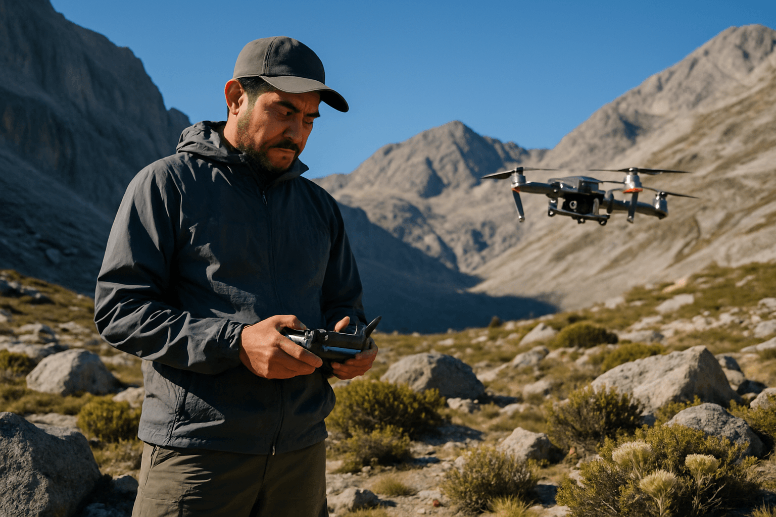
Drones: A Game-Changer for Alpine Research
Drones have emerged as an essential tool, offering unprecedented capabilities for studying alpine flora in the face of climate change. They provide a safer, more efficient, and cost-effective alternative to traditional methods, enabling scientists to gather data from areas once deemed unreachable.
High-Resolution Imagery and Data Collection
Equipped with advanced cameras and sensors, drones can capture very-high-resolution imagery (often with spatial resolutions less than 0.5 meters), providing fine-scale spatial patterns of vegetation cover that are critical for understanding alpine vegetation dynamics. This level of detail is often superior to what can be achieved with satellite imagery, allowing for the identification of individual plants or small groups of species.
Accessing Remote and Dangerous Terrain
One of the most significant advantages of drones is their ability to reach inaccessible and hazardous mountain areas, such as steep slopes, cliff faces, and unstable ground, where human access is limited or dangerous. This capability significantly reduces risks to researchers while expanding the scope of ecological surveys.
Time-Series Monitoring and Repeatability
Drones offer the unique advantage of repeatable surveys at high spatial and temporal resolutions. This allows scientists to monitor changes over time in large areas and compare data across years, providing a long-term data repository crucial for tracking the slow, subtle shifts characteristic of climate-related ecosystem changes. For instance, repeated drone flights can map the same areas consistently to track phenological changes or vegetation shifts.
Multispectral and Hyperspectral Sensing
Many drones deployed in alpine research carry specialized multispectral and hyperspectral sensors.
- Multispectral drones capture images across several specific wavelengths, including visible light (red, green, blue) and non-visible light (near-infrared, red-edge). These different bands reveal valuable insights into plant health, water stress, nutrient deficiencies, and species differentiation. For example, healthy plants reflect more near-infrared light.
- Hyperspectral drones go a step further, capturing data across hundreds of narrow spectral bands. This allows for the detection of subtle differences in leaf composition (e.g., pigments, water content) and structure, enabling more precise identification of plant species, detection of diseases, or lack of nutrients.
3D Modeling and Topographic Analysis
Drones can generate detailed 3D models and digital elevation models (DEMs) of alpine landscapes through photogrammetry. This high-resolution topographic information is crucial for understanding microclimatic conditions, which largely determine habitat availability and how species respond to a changing climate. Analyzing these models helps researchers assess changes in snowpack distribution and other physical factors impacting flora.
Key Applications in Alpine Flora Studies
The capabilities of drones translate into several critical applications for understanding climate change impacts on alpine flora.
Mapping Vegetation Shifts and Distribution
Drones are instrumental in mapping changes in vegetation cover and distribution. Scientists use drone imagery to track the upslope migration of plant populations, the advance of shrublines, or the densification of woodlands at lower elevations. This provides visual evidence of how climate change is altering the composition and boundaries of alpine plant communities.
Quantifying Growth and Phenological Changes
By conducting repeated surveys, drones can quantify changes in plant growth rates, biomass, and phenology (e.g., timing of flowering or leaf emergence). Multispectral imagery, in particular, allows for the calculation of vegetation indices like the Normalized Difference Vegetation Index (NDVI), which are proxies for plant productivity and health.
Detecting Stress and Disease
The advanced spectral capabilities of multispectral and hyperspectral sensors enable early detection of stress factors such as drought, nutrient deficiencies, or disease outbreaks in alpine plants. This helps identify vulnerable areas and species before visible symptoms become apparent, allowing for timely intervention or focused research.
Assessing Snow Cover Dynamics and its Impact
Snow cover is a critical factor influencing alpine flora, affecting growing seasons and soil moisture. Drones can model snowpack distribution and monitor changes in snow cover dynamics year over year. Understanding how declining snow cover and changing melt patterns affect plant communities is vital for predicting future ecological shifts.
Challenges and Future Directions
Despite their immense potential, operating drones in alpine environments comes with specific challenges. Rugged and steep terrain can limit operational range and make flight planning complex. Unpredictable high-altitude weather, strong winds, and low temperatures can affect drone stability, battery life, and sensor performance, with icing being a particular concern. Signal interference from geographical features is also a common issue. Furthermore, processing and analyzing the vast amounts of high-resolution data collected by drones require significant computational power and expertise. Regulatory hurdles in protected alpine areas can also pose limitations.
Future advancements in drone technology, including improved battery longevity, enhanced autonomy, more robust anti-icing mechanisms, and the integration of Artificial Intelligence (AI) for real-time data processing and automated anomaly detection, will further amplify their utility. Continued research into wildlife-drone interactions will also be crucial for minimizing ecological disturbance.
Conclusion: Soaring Towards Deeper Understanding
Drones represent a transformative technology in environmental monitoring, particularly for the sensitive alpine ecosystems. By providing unparalleled access, high-resolution data, and the ability for repeatable, long-term observation, UAVs are proving indispensable in studying the long-term effects of climate change on alpine flora. As these technological tools continue to evolve, they will undoubtedly play an even more critical role in shaping our understanding of climate change impacts and informing conservation strategies for these vulnerable mountain environments.


