Desert ecosystems, often perceived as barren and lifeless, are in fact vibrant, complex environments teeming with unique biodiversity and remarkable adaptations. However, these arid and semi-arid regions are also among the most vulnerable to the impacts of climate change, human activities, and the accelerating spread of desertification. Understanding their resilience – how they withstand and recover from disturbances – is critical for conservation. Traditional ground-based ecological monitoring in these vast, harsh, and often inaccessible landscapes is labor-intensive, time-consuming, and expensive. This is where drone technology, with its advanced remote sensing capabilities, is revolutionizing how scientists study and protect these fragile environments.
The Unique Challenges of Studying Desert Ecosystems
Deserts present formidable obstacles for ecological research. Extreme temperatures, limited water availability, vast expanses, and difficult terrain make comprehensive data collection a significant challenge. Moreover, many desert species have evolved unique, often subtle, adaptations to these harsh conditions, making their detection and monitoring complex. Climate change exacerbates these challenges, with rising temperatures, altered rainfall patterns, and increased frequency of extreme weather events pushing desert flora and fauna to their environmental tolerance limits. The rapid pace of environmental change can lead to a decline in species, further stressing the delicate balance of desert biodiversity.
Drones: A Game-Changer in Desert Ecology Research
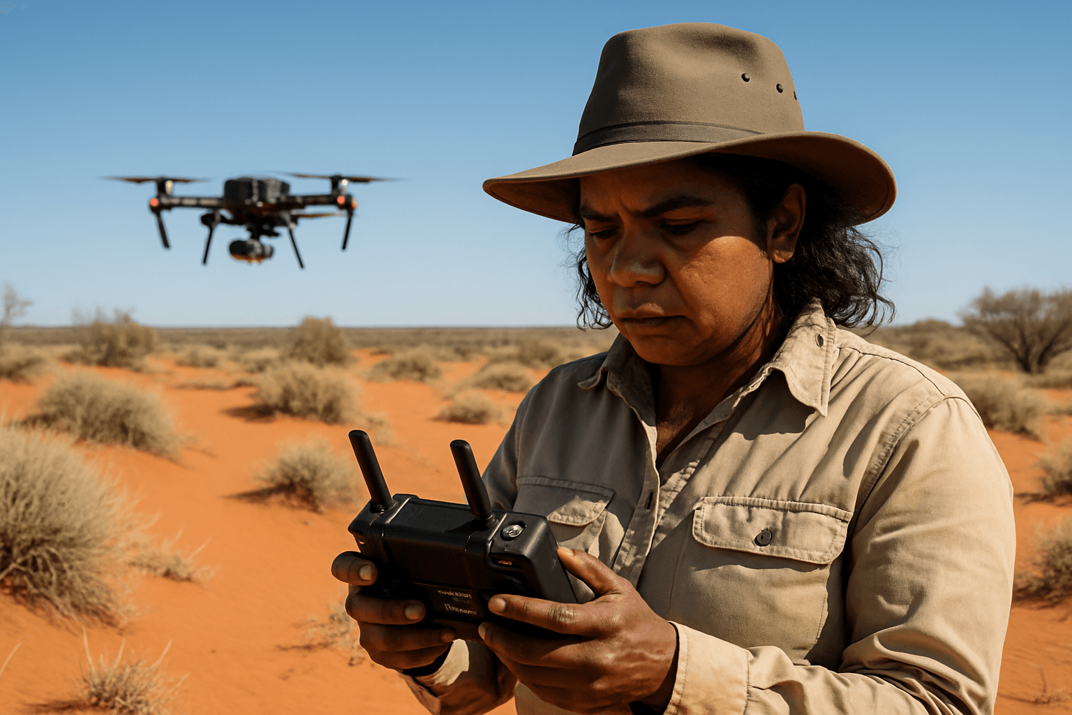
Unmanned Aerial Vehicles (UAVs), commonly known as drones, offer an unprecedented ability to rapidly obtain high-resolution aerial data over large and difficult-to-access areas. Equipped with an array of sophisticated sensors, drones provide a cost-effective and flexible solution for collecting detailed information that was previously unattainable. This transformative technology allows researchers to overcome many of the limitations of traditional fieldwork, enhancing our understanding of desert ecosystem resilience and informing conservation efforts.
Key Drone Applications for Understanding Desert Resilience
Drones serve as versatile platforms for a multitude of scientific applications in desert environments, providing critical insights into various ecological processes.
High-Resolution Imaging and Mapping
Drones capture detailed imagery that can be processed to create highly accurate maps and ortho-mosaics. This allows for precise mapping of vegetation cover, species distribution, and land use patterns. By comparing images captured over time, researchers can monitor changes in vegetation health, identify areas of degradation or recovery, and track the spread of invasive species. For example, drones combined with AI are being used in Arizona to identify and eliminate invasive buffelgrass, which poses a significant wildfire risk and threatens native plants. The Navajo Nation also employs drones to survey soil erosion and vegetation health.
Thermal Imaging for Water Stress Detection
Water scarcity is a defining characteristic of deserts, and understanding how plants cope with drought is central to studying resilience. Thermal cameras on drones can detect the infrared radiation emitted by plants, which is influenced by their temperature. When plants are under water stress, their stomata close, reducing transpiration and leading to higher leaf temperatures. By analyzing these temperature differences and calculating indices like the Crop Water Stress Index (CWSI), scientists can identify areas of water stress, assess plant physiological responses to drought, and monitor water use efficiency. This provides crucial data for understanding how desert vegetation adapts to limited water availability.
Multi-spectral and Hyperspectral Imaging for Vegetation Health and Biodiversity
Beyond visible light, multispectral and hyperspectral sensors capture data across various wavelengths of the electromagnetic spectrum, including infrared and red-edge bands. These different spectral bands provide valuable insights into plant health, photosynthetic activity, and stress levels that are invisible to the human eye.
- Normalized Difference Vegetation Index (NDVI): A widely used metric derived from multispectral data, NDVI helps assess plant vigor and biomass by measuring the difference in reflectance between red and near-infrared bands.
- Detecting Stress: Changes in chlorophyll content, nutrient deficiencies, or disease can be identified through specific spectral signatures, enabling early detection of plant stress.
- Biodiversity Assessment: Multispectral data can differentiate between various vegetation types and even plant species, aiding in biodiversity assessments and monitoring the impact of environmental changes on species distribution.
3D Modeling and Topographic Analysis
Drones can generate high-resolution Digital Surface Models (DSMs), Digital Terrain Models (DTMs), and 3D models of landscapes. This capability is invaluable for:
- Erosion Monitoring: Tracking changes in topography helps monitor soil erosion and desertification processes.
- Habitat Mapping: Detailed 3D models provide a comprehensive understanding of habitat structure and microclimates, which are crucial for many desert organisms.
- Restoration Planning: Precise topographic data supports the planning and evaluation of land restoration projects, such as reseeding efforts after wildfires. The Desert Research Institute (DRI) has, for instance, used drones for aerial mapping prior to reseeding projects.
Environmental Monitoring
Drones can be equipped with sensors to monitor a range of environmental factors in deserts, including dust levels and atmospheric conditions. This data contributes to a holistic understanding of ecosystem dynamics and responses to climate variability.
Advantages of Drone Technology in Desert Research
The adoption of drones brings several significant advantages to the study of desert ecosystems:
- Enhanced Accessibility and Safety: Drones can access remote, dangerous, or difficult-to-traverse areas without risking human researchers.
- High Spatial and Temporal Resolution: Unlike satellite imagery, drones offer on-demand data acquisition with much finer spatial resolution, providing detailed information at local scales. This allows for more frequent monitoring, which is crucial for tracking dynamic ecological changes.
- Cost-Effectiveness: While initial investment exists, drones can significantly reduce the costs associated with extensive fieldwork and manned aircraft flights over time.
- Improved Data Quality and Quantity: Drones capture vast amounts of high-quality data, which, when combined with advanced analytics and AI, can reveal patterns and insights previously impossible to discern.
- Non-Invasive Monitoring: Drones allow for monitoring wildlife and sensitive habitats with minimal disturbance.
Challenges and Future Outlook
Despite their immense potential, drone applications in desert ecosystems still face challenges, including payload limitations, flight duration in extreme conditions, regulatory hurdles, and the need for specialized data processing and interpretation skills. However, ongoing advancements in drone technology, sensor miniaturization, battery life, and AI-driven data analysis are continually expanding their capabilities.
The future of studying desert ecosystem resilience will likely see even greater integration of drones with other remote sensing platforms (like satellites) and ground-based sensors to create comprehensive, multi-scale monitoring frameworks. Drones will continue to play a vital role in understanding the complex responses of deserts to environmental change, aiding in the identification of resilient areas, supporting restoration efforts, and ultimately contributing to the long-term conservation of these unique and vital biomes.


