In the increasingly competitive real estate market, capturing a buyer’s attention demands innovative approaches. Traditional photography and videography often fall short in conveying the full scope and appeal of a property. This is where drones step in, revolutionizing how real estate is presented by offering stunning aerial perspectives and immersive virtual experiences that static images simply cannot match. From showcasing expansive landscapes to highlighting unique architectural features, drone aerial tours have become an invaluable tool for real estate professionals looking to differentiate their listings, attract more qualified buyers, and ultimately accelerate sales.
The Unmatched Advantages of Drone Real Estate Tours
Drones bring a multitude of benefits to real estate marketing that go beyond mere visual appeal:
Captivating Visuals and Comprehensive Property Overview
Drones provide an all-encompassing aerial view, showcasing the entire exterior of a property, including its size, layout, yards, driveways, and outdoor living spaces. This perspective helps potential buyers understand the property’s scale, the relationship between different outdoor amenities (like a pool and the main house), and where property lines fall. These dynamic visuals are far more engaging than static photos, making listings stand out and creating a more cinematic feel.
Highlighting Location and Surroundings
A property’s appeal is heavily influenced by its location and surrounding environment. Drones excel at showcasing the neighborhood, proximity to amenities like parks, schools, shopping centers, and scenic views. This context is particularly valuable for out-of-town buyers or those unfamiliar with the area, offering a comprehensive understanding of the lifestyle a property offers.
Enhanced Engagement and Faster Sales Cycles
Listings featuring aerial photography are significantly more likely to capture attention and generate interest. Studies indicate that properties displayed with an aerial shot are 68% likelier to sell. Drone imagery can lead to higher click-through rates, more in-person showings (up to 65% more likely), and a shorter time on the market, reducing carrying costs for sellers. This is because buyers receive better information upfront, leading to more qualified leads and a more efficient sales process.
Competitive Edge and Modern Appeal
In a crowded market, using cutting-edge technology like drones helps real estate agents differentiate themselves and build a modern brand. It demonstrates a commitment to innovative marketing, appealing to a tech-savvy generation of homebuyers.
Improved Property Inspections and 3D Mapping
Beyond marketing, drones are useful for inspecting hard-to-reach areas like rooftops, offering detailed visuals for property assessments and appraisals, and eliminating the need for costly or risky equipment. They can also facilitate 3D virtual tours and 3D mapping, providing precise measurements and floor plans that enhance the immersive experience for buyers.
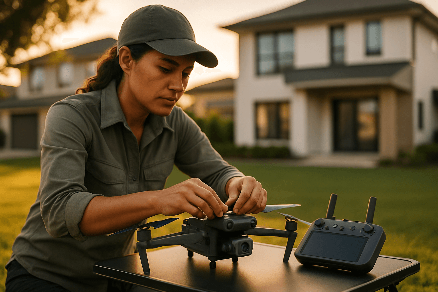
Essential Equipment for Drone Real Estate Photography
To produce high-quality aerial real estate tours, selecting the right drone and supplementary gear is crucial.
Choosing the Right Drone
When selecting a drone for real estate, key features include:
- Camera Quality: Prioritize drones with 4K resolution or higher for video and 20+ MP for stills to ensure crisp, detailed images and video. A larger sensor (e.g., 1-inch CMOS) is beneficial for low-light performance and dynamic range.
- Gimbal Stabilization: A three-axis gimbal is essential for achieving smooth, stable footage, even in windy conditions.
- Flight Time: Look for drones offering at least 30 minutes of flight time per battery to allow for comprehensive shoots without constant battery swaps. “Fly More Combos” that include extra batteries are highly recommended.
- Obstacle Avoidance: This feature significantly enhances safety, especially when navigating around trees, power lines, and buildings, making the flight easier and less risky.
- Portability: Compact, foldable drones are easier to transport between multiple properties and quicker to deploy.
- RAW Photo Capability: Shooting in RAW preserves maximum detail, offering greater flexibility in post-processing.
Popular drones recommended for real estate photography include models from the DJI Mini series (e.g., Mini 3, Mini 3 Pro, Mini 4 Pro) for their portability and quality, the DJI Air 2S, DJI Air 3, and the more professional DJI Mavic 3 Classic or Mavic 3 Pro for their superior camera systems and advanced features.
Additional Essential Gear
- Extra Batteries: Crucial for extended shooting sessions.
- High-Capacity Memory Cards: Ensure ample storage for 4K video and high-resolution photos.
- Neutral Density (ND) Filters: Help manage harsh lighting conditions, allowing for cinematic motion blur in videos and proper exposure in bright sunlight.
- Tablet or Smartphone: For viewing live camera feed and controlling the drone.
- Landing Pad: Provides a clean and safe takeoff/landing zone.
- Protective Case: To transport equipment safely.
Legal and Ethical Considerations for Commercial Drone Use
Operating drones for commercial real estate purposes involves strict regulations that must be adhered to.
FAA Part 107 Certification
In the United States, any drone flight that promotes a business, including real estate photography, is considered commercial use. To legally operate a drone for commercial purposes, pilots must obtain an FAA Remote Pilot Certificate under Part 107 regulations. This requires:
- Being at least 16 years old and fluent in English.
- Passing an aeronautical knowledge test covering airspace rules, weather effects, and operational regulations.
- Completing a TSA background check.
- Renewing the certification every 24 months.
Violating these rules can lead to significant penalties, including hefty fines.
Drone Registration
All drones used for commercial purposes must be registered with the FAA, and the registration number should be visibly displayed on the drone.
Flight Rules and Restrictions
Commercial drone operators must adhere to specific flight regulations:
- Altitude: Drones must be operated below 400 feet above ground level, unless within 400 feet of a structure.
- Visual Line of Sight (VLOS): The operator must maintain visual contact with the drone at all times, without the aid of any device other than corrective lenses.
- Daylight Operations: Flights must occur during daylight hours or civil twilight (30 minutes before sunrise and after sunset) with anti-collision lighting. Nighttime operations require a special FAA waiver.
- Airspace Restrictions: Avoid restricted airspace (e.g., near airports, stadiums, emergency scenes) without FAA authorization. Tools like the FAA’s B4UFLY app or LAANC (Low Altitude Authorization and Notification Capability) help check for restricted areas and request approvals.
- Operating Over People/Vehicles: Avoid flying over people or moving vehicles unless a specific waiver is obtained.
- Property Owner Permission: Always obtain permission from the property owner before flying, taking off, or landing on private property.
- Reckless Operation: The FAA prohibits reckless operation that could endanger life or property.
State and Local Laws
In addition to federal FAA regulations, state and local governments may enforce their own rules regarding drone operations, often addressing concerns about privacy, safety, and public nuisance. These may include no-fly zones or requirements for permits. It is crucial to be aware of and comply with all applicable local regulations.
Privacy Concerns
While flying over private property is generally legal, drone operators must be mindful of privacy. Capturing images through home windows or over fenced backyards where there’s a reasonable expectation of privacy is typically not allowed. If a homeowner explicitly requests not to fly over their property or if the flight is intended to harass, stalk, intimidate, or violate privacy, it could lead to legal issues.
Planning and Executing a Successful Drone Real Estate Tour
Effective planning and skilled execution are key to capturing compelling drone footage.
Pre-Flight Planning and Site Assessment
Before launching the drone, thorough preparation is vital:
- Develop a Shot List: Identify key features of the property and its surroundings that need to be highlighted. This could include an exterior overview, front approach, orbit shots, top-down views, and showcasing unique landscaping or amenities.
- Study the Property Layout: Use satellite maps (e.g., Google Earth) to understand the property’s topography, identify potential obstacles (power lines, tall trees), and assess lighting conditions.
- On-Site Walkthrough: Conduct a physical walkthrough of the property to get a feel for its unique selling points and visualize the best angles and flight paths.
- Check Weather Conditions: Ensure favorable weather (low wind, no precipitation) for safe and stable flight.
- Prepare Equipment: Charge all batteries, ensure memory cards have sufficient space, and check drone firmware.
Drone Flight Techniques for Real Estate
Smooth, cinematic movements are crucial for impactful real estate videos. Here are some essential shots and techniques:
- The Approach Shot / Forward Reveal: Start with a high, wide shot from a distance, slowly moving forward and tilting the camera down to gradually reveal the property. Incorporating foreground elements (like trees) for a parallax effect adds depth.
- The Orbit / Sweeping Shot: Fly the drone in a smooth, semi-circular or full 360-degree motion around the property, showcasing all angles, architectural details, and landscaping. Varying heights can add dynamism.
- The Pull-Away Shot / Track Away: Start close to the property and slowly track backward and upward, revealing more of the surroundings and neighborhood context.
- The Top-Down / Bird’s Eye Shot: Fly directly over the property and point the camera straight down to emphasize lot size, property lines, and features like pools or roofs. A top-down spiral can add interest.
- The Reveal Shot: Begin behind a foreground element (e.g., a tree, fence) and move horizontally to slowly unveil the property, creating a sense of anticipation.
- Smooth Panning: Practice slow, deliberate camera pans to smoothly transition between different views without jerky movements.
- Highlighting Key Features: Use angled shots to draw attention to unique architectural elements, balconies, courtyards, or decks.
Optimal Camera Settings
- Shoot in RAW for photos and a LOG color profile for video: This maximizes dynamic range and flexibility in post-processing.
- Resolution: 4K for video (60fps is ideal for slow-motion options) and high megapixel settings for photos.
- ISO: Keep ISO as low as possible (typically 100-200) to minimize noise.
- Shutter Speed: For video, follow the 180-degree rule (shutter speed roughly double the frame rate, e.g., 1/60 for 30fps) for natural motion blur. For photos, a faster shutter speed (e.g., 1/200th or faster) prevents blur.
- White Balance: Set manually for accurate colors.
- Aperture: Adjust to control depth of field; f/5.6 is often a good starting point for sufficient depth of field in real estate.
Post-Production: Polishing Your Aerial Masterpiece
Once the footage is captured, post-production transforms raw clips and photos into a professional, engaging real estate tour.
Photo Editing
- Color Correction & Exposure: Adjust brightness, contrast, saturation, and tonal balance to ensure natural, vibrant colors and balanced exposure. Avoid overly saturated or artificial looks.
- Lens Distortion & Perspective Correction: Correct any warping or skewed vertical lines, especially common with wide-angle drone lenses.
- Sharpening & Clarity: Apply selectively to enhance details like roof tiles or landscaping, but avoid over-sharpening which can create an unnatural look.
- Subtle HDR Editing: Can help achieve balanced exposure by making both dark and light areas visible without losing detail, particularly useful for outdoor scenes with harsh contrasts.
- Remove Distractions: Clean up any unsightly elements like debris, power lines, or unwanted objects.
- Watermarking: Add a subtle watermark or logo for branding.
- Software: Adobe Lightroom and Photoshop are industry standards.
Video Editing
- Stabilization: Even with a gimbal, some footage may benefit from further software stabilization.
- Color Grading: Apply a consistent color grade to all clips to create a cohesive and professional look.
- Transitions: Use smooth, cinematic transitions between shots.
- Music: Select royalty-free music that matches the tone and luxury of the property.
- Pacing: Edit the video to maintain an engaging pace, often starting with wider, establishing shots and moving into more detailed views.
- Text Overlays: Add property details, location highlights, or agent contact information.
- Integration with Virtual Tours: Combine drone footage with 360-degree virtual tours to create a truly immersive experience, linking exterior aerial views with interior walkthroughs.
- Software: Adobe Premiere Pro and DaVinci Resolve are popular choices.
By embracing drone technology with careful planning, adherence to regulations, skilled piloting, and professional post-production, real estate professionals can create stunning aerial tours that not only showcase properties in their best light but also provide a distinct competitive advantage in the market.


