Drone photography has revolutionized real estate marketing, offering breathtaking aerial perspectives that traditional ground-level photography simply cannot achieve. Properties marketed with aerial photos can sell significantly faster, with some studies indicating a 68% increase in sales speed. This guide explores essential techniques, legal considerations, and equipment to help real estate professionals harness the power of drone photography.
The Impact of Aerial Photography in Real Estate
Drone photography provides a unique, bird’s-eye view of properties, showcasing the entire landscape, surrounding areas, and property layout. This enhanced visualization allows potential buyers to grasp the property’s boundaries, size, and nearby amenities like parks, schools, or shopping centers, fostering an emotional connection. Beyond aesthetics, drones can inspect hard-to-reach areas like rooftops, highlighting both maintenance needs and well-maintained features.
Legal and Ethical Considerations for Drone Operations
Before embarking on commercial drone photography for real estate, understanding and adhering to regulations is paramount.
FAA Part 107 Certification
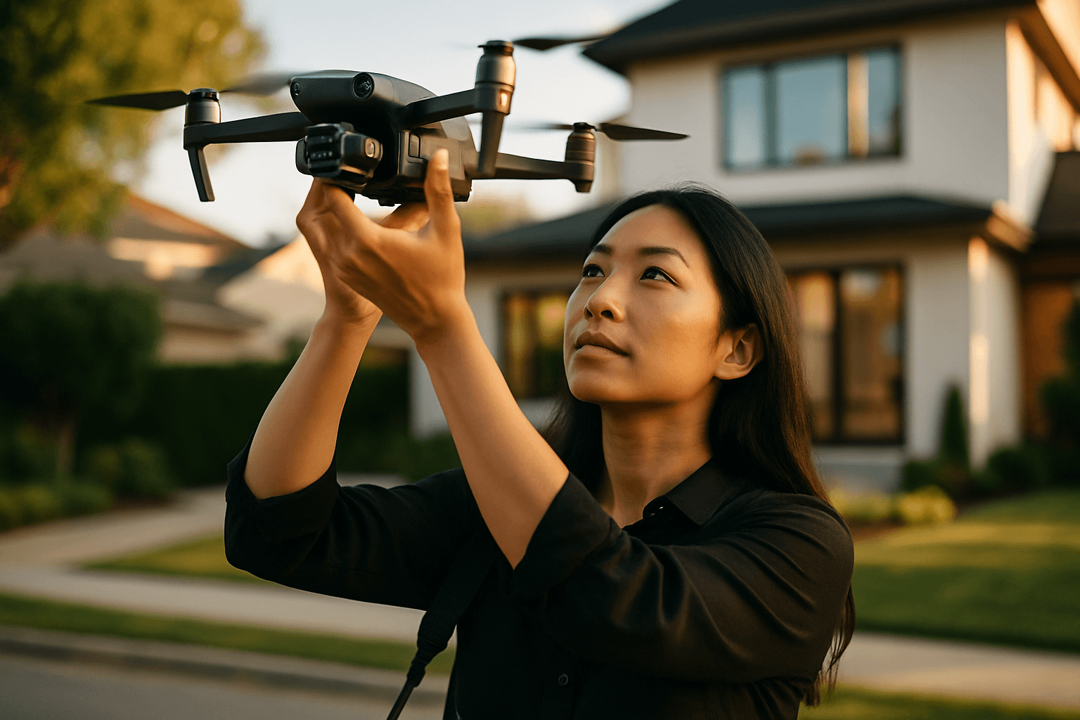
In the United States, operating a drone for commercial purposes, including real estate photography, requires a Part 107 license from the Federal Aviation Administration (FAA). Obtaining this Remote Pilot Certificate involves studying for and passing an aeronautical knowledge test covering airspace classification, flight restrictions, drone regulations, and operating requirements. The license is valid for two years. Drones weighing more than 0.55 pounds must also be registered with the FAA.
Adhering to Flight Regulations and Safety
Several key flight rules and safety measures must be followed:
- Altitude Limits: Drones must be operated below an altitude of 400 feet above ground level.
- Visual Line of Sight (VLOS): Operators must maintain visual contact with their drone at all times.
- Daylight Operations: Flights are generally restricted to daylight hours unless a specific FAA waiver is obtained.
- Restricted Airspace: Avoid flying in no-fly zones, such as near airports, government facilities, or national parks, without proper authorization.
- Permission: Always obtain permission from the property owner before flying.
- Safety Distance: Maintain a safe distance from people, vehicles, and buildings.
- Pre-Flight Checks: Conduct thorough pre-flight checks of equipment and inspect the area for potential hazards.
Privacy and Property Rights
Drone operators must be mindful of privacy laws and property rights. Avoid capturing images of people or private property without consent, and blur out identifying features like license plates or house numbers if footage is used in MLS listings. While flying over private property is generally permissible under FAA authority, taking off or landing on private property without authorization is not allowed.
Essential Drone Photography Equipment
The right equipment is crucial for high-quality real estate visuals.
Choosing the Right Drone
When selecting a drone for real estate photography, prioritize models with excellent camera quality, stable flight performance, and good battery life.
- Resolution: Look for drones capable of shooting in at least 4K resolution for videos and 20+ MP for still photos to ensure crisp, detailed, and zoomable images.
- Sensor Size: Larger sensors (1-inch or more) are preferred as they perform better in low light and offer a wider dynamic range.
- Gimbal Stabilization: A 3-axis gimbal is essential for smooth and steady footage, even in windy conditions, by minimizing vibrations.
- Battery Life: Aim for models with at least 30 minutes of flight time to adequately capture all necessary angles.
- Obstacle Avoidance: This technology helps prevent accidents, especially when navigating tight spaces.
Popular drone choices for real estate photography include the DJI Mavic 3 Pro, known for its top-tier image quality and extended flight times, and the DJI Air 2S, which offers a user-friendly experience and excellent image capture. The DJI Mini 3 Pro is also a recommended option due to its affordability and quality.
Camera Settings for Optimal Shots
Adjusting camera settings manually provides greater control over the final image quality.
- File Format: Always shoot in RAW format to retain maximum image data, allowing for greater flexibility during post-editing.
- ISO: Keep the ISO low, typically between 100-400, to minimize noise and ensure sharp, detailed images, especially in optimal lighting. For blue hour photography, ISO 200-400 is a good starting point.
- Shutter Speed: Use a shutter speed between 1/500 and 1/1000 of a second to prevent motion blur, particularly in windy conditions. For video, aim for a shutter speed that is double your frame rate (e.g., 1/50s for 24fps video).
- Aperture: An aperture setting of f/8 to f/11 is often recommended to ensure sharpness across the entire frame.
- White Balance: Adjust white balance manually for consistent and accurate colors.
Effective Drone Photography Techniques
Capturing compelling real estate visuals goes beyond technical settings; it involves strategic planning and execution.
Pre-Flight Planning and Shot Composition
Thorough planning is crucial for successful drone shoots.
- Scout Location: Visit the property in advance to identify key features and potential shot angles.
- Shot List: Create a detailed shot list to ensure all important features are captured, including exterior overviews, front approach, orbit shots, and top-down views.
- Highlight Features: Focus on showcasing unique selling points such as large backyards, swimming pools, architectural details, or surrounding amenities.
- Vary Angles and Altitudes: Incorporate diverse shots and angles. Start with high aerial angles for an overall layout, then move to lower shots (around 20 feet above ground level) to emphasize specific details like gardens or pathways. Tilted angles can create dynamic compositions.
- Natural Light and Golden Hour: Natural light is key. The “golden hour” (shortly after sunrise or before sunset) provides soft, warm lighting that enhances property appeal and reduces harsh shadows. Avoid harsh midday sun, which can create strong shadows.
- Consider Surrounding Context: Capture the property within its environment, highlighting proximity to amenities, natural landscapes, or other desirable features that contribute to its value.
Executing Smooth Flights
Smooth drone movements are vital for professional-looking footage. Avoid sudden turns and make gradual, controlled stick movements. Utilize built-in stabilization features and consider flight modes like “orbit mode” for smooth circular shots around the property or “point of interest” techniques to keep a feature in focus.
Property Preparation
Before the shoot, ensure the property’s exterior is ready. This includes decluttering outdoor spaces by removing trash, cans, garden tools, and children’s toys. Clear driveways of vehicles or plan shots to avoid them. Turning on outdoor lights or staging furniture can also enhance appeal.
Post-Production for Enhanced Visuals
Editing is a critical step in transforming raw drone footage into captivating marketing materials.
Essential Editing Techniques
- Basic Adjustments: Enhance clarity, color, and composition. Adjust brightness, exposure, and contrast.
- Color Correction: Tweak colors to ensure accuracy and vibrancy, manually adjusting white balance for consistency.
- Noise Reduction: Apply noise reduction, especially for photos taken in challenging lighting conditions.
- Lens Correction: While general lens correction is often applied, it’s worth noting that for aerial photos, lens correction might not be enabled as it is for other types of photography.
- Sky Replacement/Enhancement: For outdoor shots, enhancing or replacing the sky can significantly improve the visual appeal.
- Highlighting Features: Use editing to draw attention to specific aspects of the property. This can include adding colored outlines around property boundaries or highlighting specific lots.
- Object Removal: Remove unwanted objects or minor blemishes from the images.
- Panoramic Stitching: For lavish properties with expansive lawns, panoramic stitching can merge multiple shots for a seamless, wide view.
- Virtual Staging/Day-to-Dusk Conversion: Some editing services offer virtual staging or day-to-dusk conversion for aerial shots to further enhance visual appeal.
Integrating Drone Content into Marketing Strategy
Drone photos and videos should be integrated seamlessly into a broader real estate marketing plan. This includes featuring aerial shots on social media, incorporating them into virtual property tours, and adding them to printed marketing materials. Combining aerial footage with ground-level shots creates a comprehensive and immersive narrative that resonates with potential buyers.


