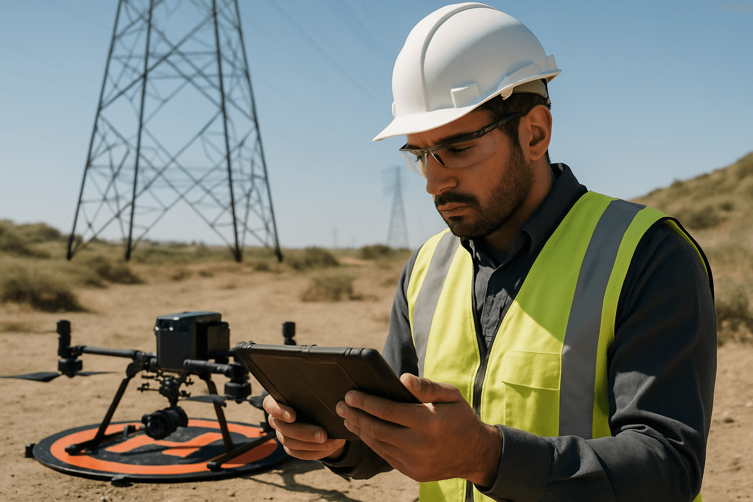
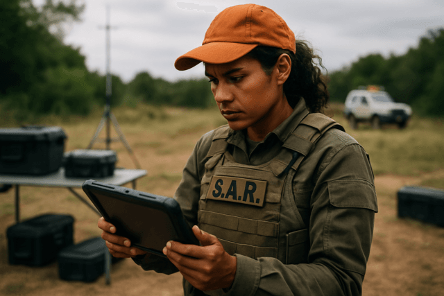
Drones, or Unmanned Aerial Vehicles (UAVs), have revolutionized infrastructure inspection, offering unparalleled efficiency, cost-effectiveness, and safety in assessing critical assets like bridges, pipelines, wind turbines, and power lines. As these sophisticated aerial platforms capture vast amounts of high-resolution imagery, thermal data, LiDAR scans, and other sensor readings, the integrity of this invaluable data becomes paramount. Compromised or inaccurate data can lead to flawed assessments, misinformed maintenance decisions, and significant financial and safety repercussions. Ensuring the trustworthiness of drone-captured data requires a multi-faceted approach encompassing meticulous planning, secure acquisition, robust processing, and vigilant cybersecurity measures.
Meticulous Pre-Flight Planning and Preparation
The foundation of reliable drone data lies in thorough pre-flight planning and preparation. This initial phase sets the stage for accurate and secure data collection.
Comprehensive Drone and Equipment Checks
Before any mission, a rigorous physical inspection of the drone is essential to identify any damage, wear, or malfunctions. This includes examining propellers, electrical components, and batteries for optimal performance. Battery health is crucial, requiring checks for charge levels and physical damage. Firmware and software updates for both the drone and its associated ground control systems must be verified to ensure all systems are current and calibrated.
Precise Mission Planning and Flight Parameters
Detailed flight plans are critical for defining the inspection area precisely, optimizing data quality, and avoiding unnecessary data capture. This involves:
- Defining Objectives: Clearly outlining what data needs to be captured streamlines the process and improves outcomes.
- Systematic Flight Paths: Implementing systematic flight paths, such as grid patterns or concentric circles, ensures complete coverage of the inspection area and minimizes the risk of missing critical data.
- Optimal Flight Parameters: Adjusting altitude, speed, and overlap according to inspection requirements maximizes data quality and coverage. For instance, lower altitudes can yield higher-resolution images, while increased overlap aids in creating more accurate 3D models.
- Geofencing: Utilizing geofencing technology can restrict drones from entering sensitive or restricted areas, protecting privacy and ensuring compliance.
- Environmental Assessment: Evaluating weather conditions, wind speeds, and visibility is crucial, as strong winds can deplete batteries faster and extreme temperatures can affect flight characteristics. The sun’s position should also be considered for optimal imagery in mapping purposes.
Regulatory Compliance and Authorization
Understanding and adhering to drone regulations, such as FAA Part 107, is non-negotiable. This includes obtaining necessary authorizations (e.g., FAA LAANC for controlled airspace) and ensuring all documentation is readily available during flight operations.
Secure Data Acquisition during Flight Operations
The integrity of data is heavily influenced by how it’s collected during the drone’s flight.
Robust Sensor and Camera Systems
Drones should be equipped with advanced sensors and high-resolution cameras tailored to the inspection task, such as thermal imagers, LiDAR, and multispectral sensors. Before flight, these systems must be thoroughly checked and calibrated to ensure they are functioning correctly and capable of capturing high-quality data. The FAA is interested in minimum acceptable performance parameters for sensors and cameras to detect anomalies and defects.
Encrypted Communication Links
The wireless communication between the drone and its ground control station (GCS) is a primary target for malicious actors. To prevent passive eavesdropping, active jamming, or spoofing attacks, data transmitted during flight (including video feeds, GPS coordinates, and control commands) should be encrypted using robust protocols like AES-128 or AES-256, TLS, SSH, or VPNs. Some advanced systems even segment and encrypt data across multiple cellular links to prevent interception.
Real-time Monitoring and On-site Verification
Real-time data transmission allows inspectors to monitor the process and make immediate decisions. Furthermore, verifying data on-site immediately after a mission can prevent the need for costly and time-consuming re-flights due to missing or corrupt data. Some systems allow data to be downloaded directly to a smart controller or Android device in the field for quick review.
Robust Post-Flight Data Handling and Processing
Once data is captured, its journey continues through processing and storage, where integrity must be continuously maintained.
Secure Storage and Encryption at Rest
Data stored directly on the drone or on removable media carries inherent risks, including unauthorized extraction or manipulation if the drone is lost or compromised. Encryption at rest, using standards like AES-128 or AES-256, is crucial for onboard storage, local servers, and cloud environments. Given the sheer volume of data collected, potentially up to 150 TB daily for small fleets, efficient and secure storage management is a significant challenge.
Advanced Data Processing and Analysis
Specialized software plays a vital role in transforming raw drone data into actionable insights.
- Photogrammetry and 3D Modeling: Software like Pix4D or DJI Terra can create detailed 3D models and maps from images, crucial for deformation tracking and visual assessment.
- Thermal Analysis: Tools like FLIR Tools are used to analyze thermal data, identifying heat anomalies or water intrusion.
- GIS and LiDAR Software: Geographic Information Systems (GIS) and LiDAR processing software provide high-resolution 3D mapping and precise distance measurements, enabling geospatial accuracy and detailed defect identification.
- Artificial Intelligence and Machine Learning (AI/ML): AI algorithms can quickly process large volumes of data, identifying patterns and anomalies in imagery and thermal data, thus reducing reliance on human inspectors and minimizing errors. ML improves accuracy over time as systems learn from previous data.
Data Validation and Quality Control
Implementing quality control measures throughout the data processing pipeline is essential. This includes:
- Geotag Accuracy: Verifying the accuracy of geotags on images and LiDAR data.
- Overlap and Coverage: Checking that flight area coverage and image overlap meet project specifications.
- Comparison to Benchmarks and Historical Data: Comparing collected data to known benchmarks (Ground Control Points – GCPs) or previous inspection data helps engineers identify recurring structural issues, track changes over time, and validate accuracy.
- Quality Reports: Generating quality reports from photogrammetry software provides an objective assessment of data reliability.
Robust Cybersecurity Measures
Protecting drone data from cyber threats is a critical aspect of maintaining its integrity.
Authentication and Access Control
Strong authentication and role-based access control (RBAC) are paramount to ensure only authorized personnel can access sensitive drone systems and data. Multi-factor authentication (MFA) adds an extra layer of security. Digital signatures and tokenization can verify the identity of data senders and validate commands, preventing unauthorized control and tampering.
Vulnerability Management and Audits
Regular security audits and updates of data security measures are necessary to identify and address potential vulnerabilities. Organizations should be aware of vulnerabilities in communication links, onboard storage, and the potential for active jamming or spoofing attacks.
Data Minimization and Privacy by Design
Ethical considerations surrounding privacy dictate that drone operations should prioritize data minimization, collecting only what is necessary for the intended purpose. This involves pre-flight planning to avoid capturing private property and utilizing software features that limit data collection once the drone leaves its predetermined path.
The Future of Secure Drone Data in Infrastructure Inspection
As drone technology continues to advance, so too will the methods for securing the data they collect. Emerging technologies like quantum encryption and blockchain are being explored for their potential to offer even more unbreakable data security and tamper-proof logs for communications. A continued focus on “privacy by design” and robust identity management systems for drones will further enhance the security posture of drone operations in critical infrastructure inspection. By adopting a holistic approach that integrates advanced technology, stringent protocols, and ethical considerations, organizations can fully leverage the transformative power of drones while maintaining the integrity and confidentiality of the critical infrastructure information they gather.


