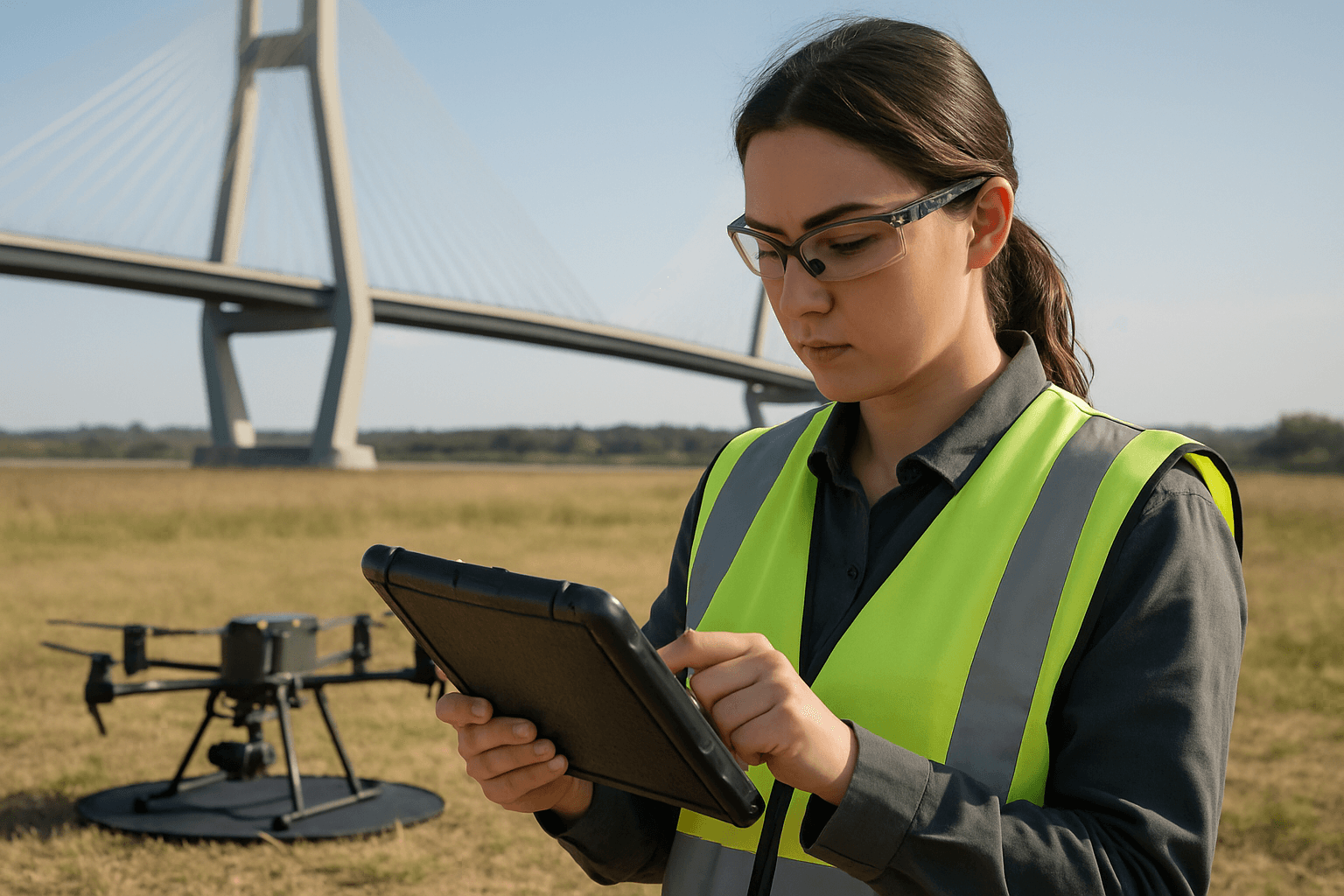
The hum of a drone overhead has become an increasingly common sound across industries, none more so than in infrastructure inspection and surveying. Unmanned Aerial Systems (UAS) offer unparalleled efficiency, safety, and data accuracy for assessing vast networks of power lines, pipelines, bridges, and other critical assets, often reaching areas inaccessible or dangerous for human inspectors. However, the seamless integration of this advanced technology hinges on a thorough understanding and strict adherence to a complex web of regulatory frameworks. Navigating these rules is paramount for commercial operators to harness the full potential of drones while ensuring safety, security, and legal compliance.
The Foundation of Commercial Drone Operations: Pilot Certification and Aircraft Registration
Before any commercial drone takes flight for an infrastructure survey, operators must fulfill fundamental licensing and registration requirements. These vary slightly by region but share core principles aimed at ensuring responsible and safe operation.
Remote Pilot Certification
In the United States, commercial drone pilots must obtain a Remote Pilot Certificate under the Federal Aviation Administration (FAA) Part 107 regulations. To qualify for this certification, individuals must be at least 16 years old, be proficient in English, and pass an aeronautical knowledge test administered at an FAA-approved testing center. This certification signifies that the pilot possesses the necessary knowledge of aviation regulations, airspace, weather, and safety procedures. Even pilots holding a license for manned aircraft must complete an FAA-approved UAS online training course to operate drones commercially.
Similarly, in Europe, the European Union Aviation Safety Agency (EASA) regulations require remote pilots to complete training and obtain certifications appropriate for their category of operation. For many standard commercial operations, online training and testing are sufficient, while more complex “Specific” or “Certified” categories demand advanced qualifications.
Drone Registration
Regardless of location, commercial drones must be registered with the relevant aviation authority. In the U.S., all drones used for commercial purposes, regardless of weight, must be registered with the FAA. This involves providing contact information and a small fee, with the registration number prominently displayed on the aircraft.
In the EU, all drones weighing over 250 grams or equipped with a camera must be registered, and operators must also register if their drone can transfer data to third parties. This registration is typically valid for a period defined by the National Aviation Authority of the EU country where the operator resides.
Key Operational Limitations for Infrastructure Surveys
Beyond basic certification and registration, commercial drone operations are subject to strict limitations designed to maintain airspace safety. These are particularly relevant for infrastructure surveys, which often involve complex environments.
Visual Line of Sight (VLOS)
A cornerstone of drone regulation is the requirement for pilots to maintain Visual Line of Sight (VLOS) with their drone at all times. This means the pilot must be able to see the drone with their unaided eye. If using First Person View (FPV) technology, a visual observer must still be present to maintain direct visual contact with the drone. This operational mode ensures the highest level of safety through direct pilot observation but inherently limits operational range.
Altitude and Airspace Restrictions
Both FAA and EASA regulations impose altitude limits. In the U.S., drones generally cannot fly higher than 400 feet Above Ground Level (AGL), unless operated within 400 feet of a taller structure. Flying within controlled airspace (e.g., near airports) requires prior authorization, often obtainable through systems like the FAA’s Low Altitude Authorization and Notification Capability (LAANC). EASA regulations also enforce geofencing to prevent drones from entering restricted areas.
Operating Over People and Moving Vehicles
Standard commercial drone operations generally prohibit flying over people or moving vehicles unless those individuals are directly involved in the drone operation or are under adequate protection. Waivers can be obtained for operations over people if safety can be demonstrated.
Night Operations
Operating drones at night typically requires a specific waiver or authorization from regulatory bodies. Operators must demonstrate that their nighttime operations can be conducted safely, often involving specialized lighting and training.
Advanced Operations: Beyond Visual Line of Sight (BVLOS)
For many large-scale infrastructure surveys, such as inspecting long stretches of pipelines or extensive transmission lines, Beyond Visual Line of Sight (BVLOS) operations are highly desirable. BVLOS refers to flying a drone outside the direct visual range of the remote pilot or visual observers. This unlocks significant advantages, including time and cost savings, and the ability to access remote or dangerous areas without putting personnel at risk.
FAA’s Evolving BVLOS Framework
Historically, BVLOS operations in the U.S. have required individual waivers from the FAA under Part 107. However, the FAA has been working to establish a more routine, performance-based regulatory framework. In August 2025, the FAA released a Notice of Proposed Rulemaking (NPRM) for Part 108, which aims to normalize BVLOS operations for applications like infrastructure inspection, package delivery, and aerial surveying.
The proposed Part 108 rule includes detailed requirements for aircraft manufacturing, operational procedures, keeping drones safely separated from other aircraft, and security. It outlines a transition from the current waiver-based system and would require collision avoidance technology and Remote ID broadcasts. The public comment period for this significant proposal closed in October 2025, with industry stakeholders expressing both support and concerns regarding aspects like the transition for existing waiver holders and restrictions on foreign-manufactured aircraft.
EASA’s Specific Category and BVLOS for Linear Inspections
EASA classifies drone operations into three categories based on risk: Open (low risk), Specific (medium risk), and Certified (high risk). BVLOS operations typically fall under the “Specific” category and require an operational risk assessment and authorization from the competent National Aviation Authority. EASA has developed predefined risk assessments (PDRAs) specifically to facilitate authorizations for BVLOS operations in linear inspections, such as surveillance and inspection of facilities and infrastructure. This includes operations flying very close to structures or at low altitudes.
Operating Near Critical Infrastructure
Infrastructure surveys inherently involve operating near critical assets, which often have heightened security concerns. Both national and local regulations impose restrictions on drone flights in these sensitive areas.
U.S. Critical Infrastructure Regulations
The FAA prohibits drone flights from the ground up to 400 feet above designated national security sensitive facilities, including military bases, national landmarks, and certain critical infrastructure like nuclear power plants. The Cybersecurity and Infrastructure Agency (CISA) provides a comprehensive list of critical infrastructure categories, including chemical plants, commercial facilities, communications infrastructure, and critical manufacturing.
While federal regulations specify “Security Sensitive Airspace Restrictions,” many U.S. states have also enacted their own laws restricting drone use near critical infrastructure. These state-level prohibitions can vary, covering facilities such as petroleum refineries, chemical manufacturing plants, correctional facilities, and certain sports venues. Operators must obtain permission from property owners or clients before conducting inspections and be aware of any local or regional restrictions.
EASA and Critical Infrastructure
EASA regulations also address the safe integration of drones, including near infrastructure. While not as explicitly detailed with “no-fly zones” for specific infrastructure types as the FAA, the “Specific” category rules, particularly with PDRAs for linear inspections, are designed to manage risks when flying close to structures. EASA guidance emphasizes privacy and data protection concerns when inspecting infrastructure, especially if human life or private spaces are nearby. Operators are advised to collect only necessary data, obtain permissions, and store data securely.
Privacy and Data Security Considerations
Beyond air safety, commercial drone operations, especially for infrastructure surveys, raise significant privacy and data security concerns. Drones collect vast amounts of high-resolution visual and sometimes thermal data that may contain sensitive information about individuals, property, or infrastructure.
Operators must establish robust privacy and data security policies that comply with applicable regulations, such as the General Data Protection Regulation (GDPR) in Europe or the California Consumer Privacy Act (CCPA) in the United States. This includes minimizing the collection of personal data, obtaining necessary permissions from property owners, and ensuring data is stored securely and not retained longer than necessary.
The Evolving Regulatory Landscape
The regulatory environment for commercial drones is dynamic and continuously evolving. As drone technology advances and new applications emerge, aviation authorities worldwide are working to update and refine existing rules to safely integrate UAS into national airspace. Operators in infrastructure surveying must stay abreast of these changes, as they can significantly impact operational procedures, equipment requirements, and authorization processes. Organizations like the FAA and EASA regularly publish updates, guidance materials, and proposed rule changes that directly affect commercial drone use.
By understanding and adhering to these comprehensive regulations, commercial drone operators can confidently leverage UAS technology to deliver safer, more efficient, and more effective infrastructure surveys, ultimately contributing to the integrity and resilience of critical assets globally.


