Invasive species pose a monumental threat to global agriculture and natural ecosystems, costing North America alone over $1.26 trillion from 1960 to 2017 due to increased food prices, infrastructure damage, and heightened wildfire risks. These unwelcome guests—be they plants, pests, or diseases—outcompete native species, reduce biodiversity, and necessitate costly, labor-intensive interventions. However, a silent revolution is underway in precision agriculture: Unmanned Aerial Vehicles (UAVs), commonly known as drones, are transforming the battle against invasive species, offering unprecedented efficiency, accuracy, and environmental sustainability.
The Growing Threat of Invasive Species in Agriculture
Invasive species are non-native organisms that cause ecological or economic harm in their new environment. In agricultural settings, their rapid spread can devastate crop yields, degrade soil health, and disrupt the delicate balance of local ecosystems. Traditional methods of detection, such as ground surveys, are often time-consuming, labor-intensive, and limited in their scope, making it difficult to identify infestations before they become widespread and deeply entrenched. The challenge is compounded in large fields or difficult-to-access terrains where human monitoring is impractical or hazardous.
Drone Technology: A Game Changer for Early Detection and Monitoring
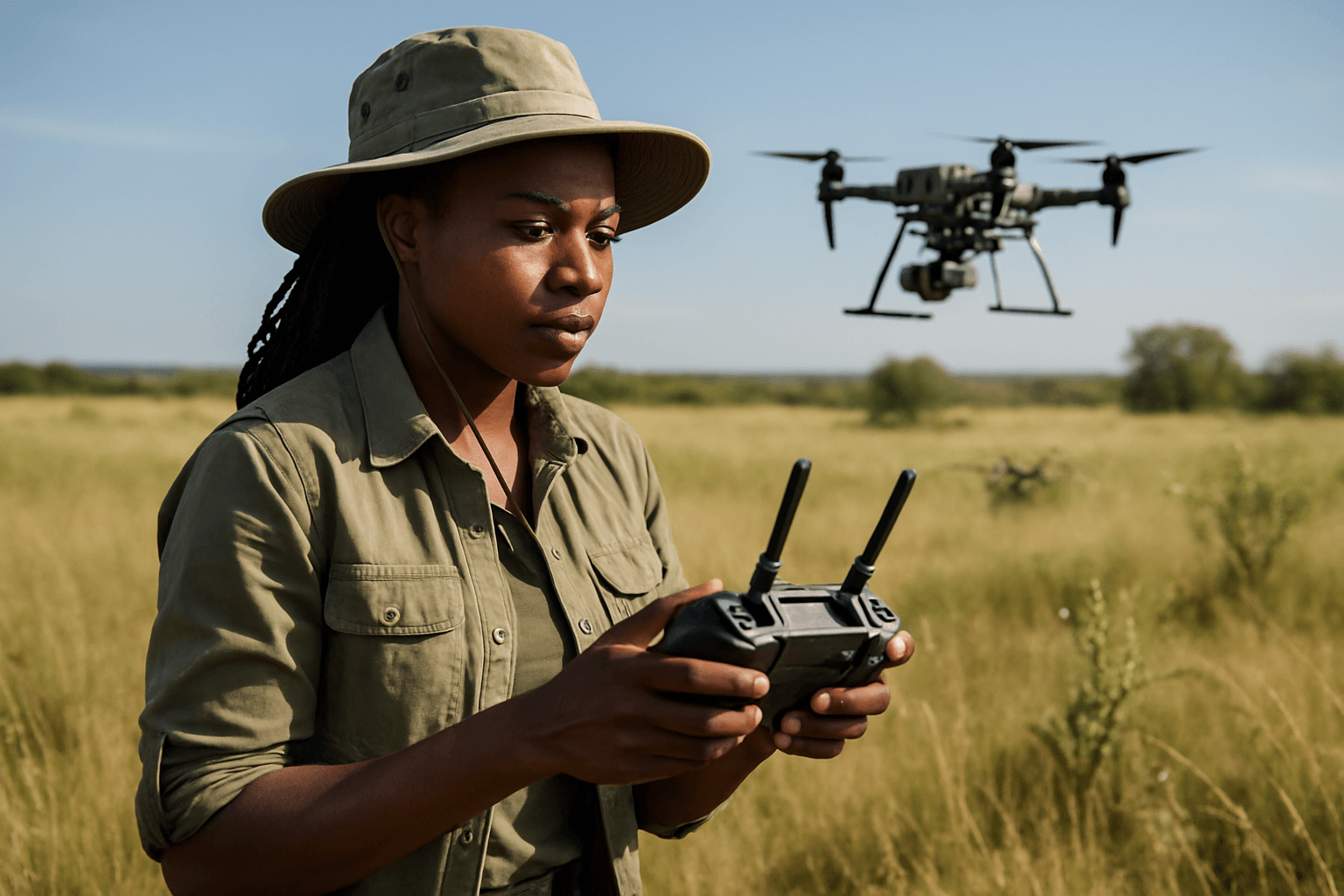
Drones are emerging as a powerful tool for early detection and rapid response (EDRR) to invasive species, providing a bird’s-eye view and advanced imaging capabilities that surpass traditional methods. By swiftly surveying vast areas, drones can identify infestations before they spread widely, allowing for timely intervention and significantly reducing ecological and economic impact.
Advanced Sensors for Unmasking Invaders
The magic behind drone-based invasive species identification lies in their sophisticated sensor payloads:
- High-Resolution RGB Cameras: These standard cameras capture visible light images, providing detailed visual information that can help identify invasive species with distinct visual features, such as unique leaf shapes or flowering patterns.
- Multispectral Imaging: This technology captures data across several specific light spectrums, including visible and near-infrared (NIR) bands. Different plant species reflect and absorb light differently across these spectrums, creating unique “spectral signatures” that can help distinguish invasive plants from native flora, even when they appear visually similar to the human eye. Multispectral data is crucial for assessing vegetation health, moisture levels, and other indicators of invasive presence.
- Hyperspectral Imaging: Going a step further than multispectral, hyperspectral cameras capture hundreds of narrow spectral bands, offering even more detailed spectral information. This allows for highly precise material identification and chemical composition analysis, making it exceptionally effective for differentiating between plant species and detecting subtle stress indicators that might betray an invasive presence.
- Thermal Imaging Cameras: Primarily used for tracking invasive animal species like rats or feral pigs, thermal cameras detect heat signatures, enabling detection day and night, even when animals are hidden in dense vegetation or underground.
Precision Mapping with GPS and LiDAR
Beyond capturing images, drones utilize GPS and LiDAR (Light Detection and Ranging) technology to create highly detailed 2D and 3D maps of ecosystems. This mapping capability allows ecologists and farmers to pinpoint the exact locations and extent of invasive species infestations, assess the scale of the problem, and prioritize areas for intervention. These precise maps are invaluable for tracking the spread of species over time and informing targeted management strategies.
The Methodology: From Flight to Field Action
Implementing a drone-based invasive species identification program involves several key stages:
1. Flight Planning and Data Acquisition
- Strategic Survey Design: Flight paths are meticulously planned to ensure comprehensive coverage of the target area. The optimal time of year for data collection is often during specific phenological stages (e.g., flowering) when invasive species are most distinguishable from native vegetation.
- Drone Selection and Sensor Integration: The choice of drone (e.g., fixed-wing for larger areas, multi-rotor for detailed close-ups) and sensor payload (RGB, multispectral, hyperspectral, thermal) depends on the specific invasive species and environmental conditions.
- Automated Flight Protocols: Drones are programmed with automated flight protocols, often controlled via a mobile app, to capture high-resolution images systematically at specific altitudes and speeds.
2. Data Processing and Analysis
- Image Stitching and Orthomosaicking: Thousands of individual drone images are stitched together using specialized photogrammetry software to create a seamless, georeferenced orthomosaic map of the entire field.
- AI and Machine Learning Algorithms: This is where the identification intelligence truly shines. Deep learning algorithms are trained on vast datasets of labeled drone imagery to recognize the unique visual and spectral features of target invasive species. These algorithms can automatically analyze images, eliminating the need for manual inspection and significantly improving accuracy and speed.
- Spectral Signature Analysis: For multispectral and hyperspectral data, specialized software analyzes the unique spectral signatures of plants, differentiating invasive species from native ones based on their reflectance patterns.
- Precise Location Mapping: By integrating GPS data with image analysis, the system can pinpoint the exact location of identified invasive plants with high precision, facilitating targeted removal efforts.
3. Intervention and Monitoring
- Prescriptive Treatment Plans: The data collected and analyzed by drones can be converted into “prescriptive spray flight plans” for spray drones. These drones, equipped with spray tanks and GPS, can then apply herbicides or biological agents directly and precisely to the affected areas, minimizing damage to surrounding crops and native vegetation while optimizing chemical usage.
- Post-Treatment Monitoring: Programmable drone flights can be easily replicated, allowing for regular surveillance to monitor the effectiveness of treatments, track changes in invasive species populations over time, and adjust management strategies as needed.
Benefits of Drone-Based Invasive Species Management
The adoption of drone technology for invasive species identification and management offers a multitude of advantages:
- Early and Accurate Detection: Drones can identify infestations at an early stage, enabling quicker responses and preventing widespread damage.
- Increased Efficiency and Coverage: Drones can cover large tracts of land rapidly and consistently, performing thorough inspections of hundreds of acres in a single day, a task that would be labor-intensive and time-consuming for ground crews.
- Access to Inaccessible Areas: Drones can reach areas that are difficult or impossible for humans to access, such as steep terrains, dense wetlands, or areas with thick canopy cover, thereby providing comprehensive monitoring.
- Precision Treatment: Drones enable pinpoint accurate application of herbicides, reducing chemical use, minimizing environmental impact, and safeguarding native plants.
- Cost-Effectiveness: Compared to traditional monitoring methods, drone surveys require fewer resources and less manpower, leading to significant cost savings in the long run.
- Reduced Human Impact and Enhanced Safety: Drones eliminate the need for personnel to enter potentially hazardous areas or come into direct contact with herbicides, improving safety for land managers and reducing human disturbance in sensitive ecosystems.
- Data-Driven Decision Making: The real-time data collected by drones provides critical insights for informed decision-making, allowing for adaptive management strategies.
Challenges and Future Outlook
Despite the remarkable advantages, the widespread adoption of drone technology for invasive species management faces certain challenges:
- Initial Investment and Training: The upfront cost of drone equipment and the need for specialized training for operators can be a barrier.
- Regulatory Hurdles: Airspace restrictions and legal requirements for drone operation must be navigated.
- Data Interpretation Expertise: Interpreting the vast amounts of data collected by drones, especially from multispectral and hyperspectral sensors, requires expertise in data analysis and often relies on sophisticated software. A lack of standardized reporting in research also hinders replicability and scalability.
- Distinguishing Similar Species: In some cases, invasive species may have spectral properties similar to native ones, making differentiation challenging without advanced algorithms and phenological data.
However, the future of drones in invasive species management is exceptionally bright. Anticipated advancements include improved battery life, enhanced data analytics, and even greater integration with artificial intelligence and machine learning models for automated identification and predictive analysis. As drone technology continues to evolve, it promises to be an indispensable tool in safeguarding our agricultural fields and natural landscapes from the relentless threat of invasive species.


