Inspecting vast and often perilous infrastructure has traditionally been a labor-intensive, time-consuming, and risky endeavor. From towering power lines to expansive solar farms and intricate bridge structures, identifying defects hidden from the naked eye posed significant challenges. However, the advent of drones equipped with thermal imaging technology is dramatically reshaping this landscape, offering an unparalleled blend of safety, efficiency, and diagnostic precision.
Understanding Thermal Imaging and Its Drone Integration
At its core, thermal imaging (also known as infrared thermography or IRT) is a non-destructive analysis technique that visualizes heat. All objects with a temperature above absolute zero emit infrared radiation, a form of electromagnetic energy. Thermal cameras are specifically designed to detect this invisible infrared radiation, translating it into a visible image called a thermogram. These images typically use color gradients – from blues and purples for cooler areas to reds and whites for hotter zones – to represent temperature differences across a surface.
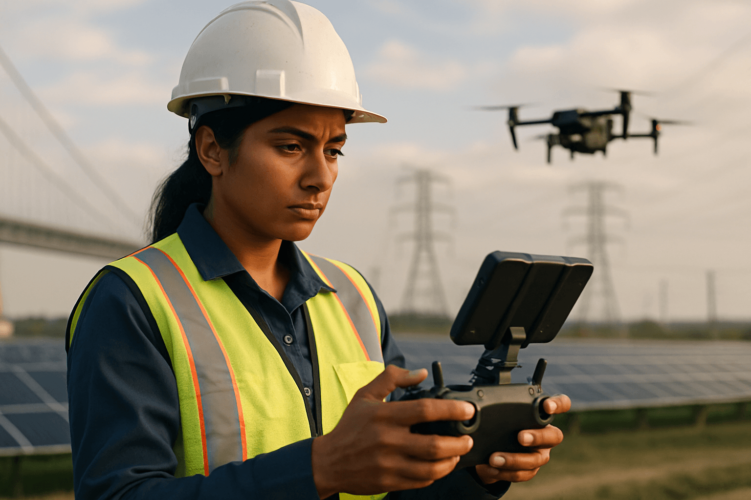
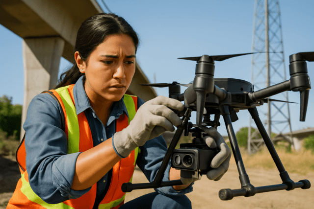
When integrated with unmanned aerial vehicles (UAVs), or drones, these advanced thermal sensors become mobile inspection units capable of surveying large areas from a safe distance. Drones often carry these cameras on gimbals that stabilize the image and allow for precise adjustments, capturing high-resolution, georeferenced thermal data. The captured data can then be stitched into orthomosaics and 3D models, pinpointing heat-related anomalies with remarkable accuracy.
The Unmatched Advantages of Thermal Drone Inspections
The fusion of thermal imaging with drone technology brings a multitude of benefits to infrastructure inspection:
- Enhanced Safety: Drones eliminate the need for human inspectors to access hazardous or difficult-to-reach areas, such as high-voltage power lines, unstable structures, or elevated rooftops, significantly reducing risk.
- Increased Efficiency and Speed: Thermal drones can rapidly survey extensive infrastructure, covering large areas in a fraction of the time it would take with traditional manual methods. This speed is crucial for routine monitoring and post-disaster assessments.
- Cost-Effectiveness: By reducing the need for scaffolding, cherry pickers, manual labor, and extended downtime, drone inspections lead to substantial long-term cost savings.
- Improved Accuracy and Data Quality: Drones provide consistent, objective, and high-resolution thermal data that can reveal issues invisible to the naked eye. The georeferenced data allows for precise localization of defects and aids in long-term asset management.
- Proactive Maintenance and Early Detection: By identifying subtle temperature discrepancies, thermal drones enable early detection of potential failures, energy losses, or safety issues, allowing for proactive maintenance before problems escalate into costly breakdowns or safety hazards.
Key Applications Across Infrastructure Sectors
Thermal imaging drones have become indispensable across a diverse range of infrastructure types:
Building and Roofing Inspections
For commercial and residential buildings, thermal drones are highly effective in:
- Detecting Heat Loss and Insulation Gaps: Identifying areas where heat is escaping due to poor insulation, air leaks, or thermal bridging in walls, roofs, and facades, which helps improve energy efficiency.
- Moisture Intrusion and Water Leaks: Locating hidden moisture within roof systems or walls by identifying cooler spots caused by evaporative cooling or water accumulation.
- Structural and Facade Assessments: Revealing cracks, delamination, and other defects not visible during a standard visual inspection.
Energy Infrastructure
The energy sector widely leverages thermal drones for critical maintenance:
- Solar Panel Inspections: Detecting hot spots, faulty cells, diode failures, junction box heating, wiring issues, inverter problems, and even physical damage or dirt on panels that reduce efficiency. Early identification of defective cells improves energy output.
- Electrical Grid Monitoring: Spotting overheating transformers, failing connections, damaged insulators, and overloaded circuits in power lines and substations, preventing potential outages or fires.
- Wind Turbine Inspections: Identifying issues within electrical and control systems of wind farms.
Oil & Gas Industry
In oil and gas, drones enhance safety and operational integrity:
- Pipeline Inspections: Detecting leaks in pipelines and storage tanks, which helps minimize environmental damage and ensures operational safety.
- Facility and Equipment Monitoring: Identifying overheating components, pressure issues, and machinery degradation in industrial assets like flare stacks and processing equipment.
Bridges and Roadways
Thermal drones contribute to the longevity and safety of transportation networks:
- Structural Assessment: Identifying cracks, delamination, corrosion, and moisture intrusion in bridge decks and other critical components.
Challenges and Considerations in Thermal Drone Inspection
Despite the many advantages, implementing thermal drone inspections comes with its own set of challenges:
- Surface-Level Detection: Thermal cameras measure surface temperature and cannot “see through” walls, glass, or water to detect internal issues directly.
- Environmental Influences: Factors like sunlight reflection, rain, fog, high humidity, and wind can distort readings or obscure true defects. Optimal temperature contrast, often found during early morning or late evening, is crucial for accurate readings.
- Data Interpretation: Interpreting thermal data requires skilled operators and specialized software. While AI is increasingly used for automated fault detection, human expertise remains vital to reduce false positives and accurately classify anomalies.
- Regulatory Compliance: Commercial drone operations are subject to regulations concerning pilot licensing, airspace restrictions, and operational requirements, especially near critical infrastructure.
- Equipment and Calibration: Achieving accurate results necessitates high-resolution thermal cameras, proper emissivity calibration, and ensuring the drone captures images from the correct angle to avoid misinterpretations, particularly on reflective surfaces like solar panels.
- Scope Limitations: While highly effective, thermal drone inspections may not entirely replace manual surveys for certain intricate details that require tactile examination, such as lifting leaves on a roof to check for cracked tiles underneath.
The Future of Thermal Drone Technology in Infrastructure
The integration of thermal imaging drones in infrastructure inspection is an evolving field, with continuous advancements on the horizon. Artificial intelligence (AI) and machine learning (ML) are increasingly being leveraged to automate image analysis, detect and classify faults, and reduce false positives, making data interpretation faster and more accurate. Further developments in drone technology promise smaller, more accurate, and environmentally adaptable systems.
Moreover, the expansion of Beyond Visual Line of Sight (BVLOS) capabilities will allow drones to inspect vast and remote infrastructure, such as pipelines stretching over hundreds of kilometers, without constant repositioning, further enhancing efficiency and safety. As these technologies mature, thermal imaging drones will continue to solidify their role as an essential tool for maintaining the safety, efficiency, and longevity of our critical infrastructure, paving the way for more sustainable and resilient systems.


