For centuries, inspecting vast and often hazardous infrastructure—from towering bridges to sprawling pipelines—was a monumental undertaking, fraught with risk and limited by human accessibility. Engineers dangled from ropes, scaled dizzying heights, or navigated treacherous terrains, meticulously recording observations on clipboards. These methods, while foundational, were slow, costly, and inherently inconsistent.
Today, the sky has become the new vantage point. Drones, equipped with an array of sophisticated sensors, have revolutionized infrastructure inspection, capturing unprecedented volumes of high-resolution data in a fraction of the time and at significantly reduced risk. But the true power of drone inspections isn’t just in the capture; it’s in the transformation of raw aerial data into actionable insights and, crucially, a streamlined process for reporting identified defects. Moving beyond the cumbersome manual defect logs of the past, modern drone inspection workflows leverage advanced software and artificial intelligence to deliver precision-driven, comprehensive defect reports that inform critical maintenance and asset management decisions.
The Drone Inspection Lifecycle: From Capture to Actionable Intelligence
The process for reporting defects found by drone inspections is an integral part of a larger, end-to-end workflow designed for efficiency and accuracy. This lifecycle begins with meticulous planning and extends through data capture, processing, analysis, and finally, comprehensive reporting and integration.
I. Pre-Inspection Planning and Preparation
Before a drone takes flight, thorough planning is paramount to ensure high-quality data capture and relevant defect identification. This initial phase lays the groundwork for effective reporting.
Defining Scope and Objectives
Clear objectives are essential. Stakeholders must define what needs to be inspected (e.g., specific structural elements, an entire building facade, or a length of pipeline) and what types of data are required (e.g., visual, thermal, LiDAR). This guides the selection of the appropriate drone and sensor payload.
Site Survey and Flight Planning
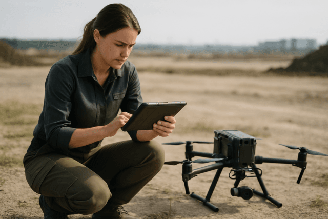
A detailed site survey helps identify potential hazards and obstacles. Based on the defined scope and survey, a precise flight plan is developed, outlining the drone’s path, altitude, speed, and desired image overlap to ensure comprehensive coverage and optimal data quality. Software tools can pre-plan flight paths, automating drone movements.
Equipment Preparation and Compliance
Ensuring the drone, sensors (high-resolution cameras, thermal imaging, LiDAR), and equipment are in optimal working condition is critical. Adherence to regulations (e.g., FAA Part 107 in the US) and conducting pre-flight checks are also non-negotiable for safety and compliance.
II. Data Capture and Collection
During the flight, the drone systematically collects vast amounts of data using its integrated sensors. High-resolution cameras, thermal imagers, and LiDAR scanners capture detailed visual, thermal, and 3D geospatial information. Best practices include capturing clear, overlapping images from multiple angles to ensure comprehensive coverage and enable accurate 3D model generation.
III. Data Processing and Analysis: Pinpointing Defects
This is where the raw data is transformed into meaningful insights, and defects are identified and categorized. This phase heavily relies on specialized software and increasingly, artificial intelligence.
Initial Data Ingestion and Structuring
Once collected, the drone data (images, videos, point clouds) is uploaded to a dedicated processing platform. The sheer volume of data necessitates robust data management solutions that can handle the influx effectively. Data is often organized by asset and inspection for intuitive accessibility.
Generating Digital Twins and 3D Models
Many platforms process the captured images into detailed 2D maps and 3D digital twins or models of the inspected structure or asset. These highly accurate visual representations provide a comprehensive view, allowing inspectors to navigate and analyze the asset remotely.
Automated Defect Detection via AI/ML
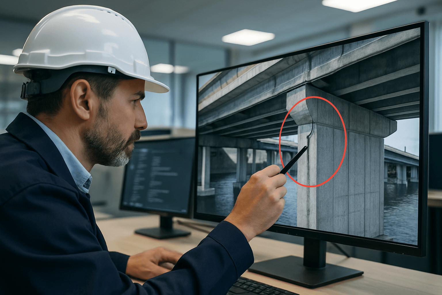
A significant advancement in drone inspection is the integration of Artificial Intelligence (AI) and Machine Learning (ML) for automated defect detection. AI algorithms can quickly scan and analyze vast amounts of imagery to identify and categorize common structural defects such as cracks, spalling, corrosion, missing sealants, and material failures with high accuracy. Some AI systems can detect micro-cracks or subtle issues that might be overlooked by the human eye. AI tools can highlight detected defects with bounding boxes or other visual cues.
Human Review and Annotation
While AI automates initial detection, human expertise remains crucial. Inspectors and engineers review the AI’s findings, validate the detected defects, and add additional context or manual findings. This involves annotating directly on the 3D model or individual images to pinpoint the exact location of the deficiency. Tools allow for adding notes, measurements, severity ratings, and repair recommendations. This human oversight ensures the highest level of accuracy and reliability in the defect report.
IV. Defect Reporting and Documentation
The culmination of the inspection process is the generation of a comprehensive, actionable defect report. Modern software streamlines this process, moving away from fragmented, manual documentation.
Customized Report Generation
Specialized drone inspection software offers built-in tools for generating customizable reports. These reports typically include:
- High-resolution annotated images: Visual evidence of the defects, precisely localized on the asset’s 3D model or individual photos.
- Detailed descriptions of defects: Including type, severity, measurements, and potential impact.
- Location data: Exact GPS coordinates or specific structural elements where the defect was found.
- Summary of findings: An overview of the asset’s condition and identified issues.
- Recommendations: Proposed maintenance actions or further investigations.
- Metadata: Inspector details, date of inspection, drone used, and environmental conditions.
Automated Reporting Features
Many platforms automate the report generation process, pre-filling sections and allowing for quick personalization. This significantly reduces manual workload and speeds up decision-making. Reports can often be generated with a single click into professional-grade PDF formats or other shareable documents.
Centralized Data Management and Collaboration
Effective defect reporting relies on a centralized repository for all inspection data and reports. Cloud-based platforms facilitate secure storage and real-time collaboration among all stakeholders, including inspection teams, engineers, maintenance crews, and clients. This ensures everyone has access to up-to-date and relevant information, improving project transparency and decision-making.
V. Integration with Asset Management Systems
For maximum long-term value, drone inspection data and defect reports should be integrated into broader asset management strategies.
Connecting to CMMS/EAM Systems
Integrating drone data into Computerized Maintenance Management Systems (CMMS) or Enterprise Asset Management (EAM) systems is crucial. This allows for:
- Automated work orders: Detected defects can automatically trigger corrective maintenance actions.
- Predictive maintenance: Analyzing historical drone inspection data alongside maintenance logs can help predict potential future issues, enabling proactive maintenance and reducing downtime.
- Life cycle assessment: Tracking asset condition over time informs life cycle management and strategic investment decisions.
Data Analytics for Trends and Patterns
Applying data analytics to accumulated inspection data helps identify trends and patterns in asset degradation. This can inform risk-based maintenance decisions and optimize maintenance schedules. Digital twins, continuously updated with drone data, provide a dynamic view of asset health.
Conclusion: The Future of Infrastructure Oversight
The process for reporting defects found by drone inspections has evolved from a laborious manual task to a sophisticated, data-driven workflow. By embracing advanced drone technology, AI-powered analytics, and integrated asset management software, organizations can achieve unparalleled accuracy, efficiency, and safety in monitoring their critical infrastructure. This transformation not only streamlines immediate defect reporting but also builds a robust data repository for long-term analysis, predictive maintenance, and ultimately, a more resilient and sustainable future for our built environment. The shift towards automated, data-rich defect reporting is not merely an incremental improvement; it’s a fundamental reimagining of how we safeguard and manage our most vital assets.


