Landfills, critical components of modern waste management, face mounting pressure from increasing waste volumes, stricter environmental regulations, and the inherent hazards of their operations. Traditional monitoring methods, often manual and labor-intensive, struggle to keep pace with these challenges, leading to inefficiencies, safety risks, and potential environmental non-compliance. Enter drone technology, an innovative solution transforming how landfills are surveyed, managed, and optimized for both performance and environmental stewardship.
The Limitations of Traditional Landfill Monitoring
Historically, landfill monitoring has relied on ground-based surveys, manual sampling, and visual inspections. These methods present several significant drawbacks:
- Time-Consuming and Costly: Manually surveying large landfill areas is a slow, arduous, and expensive process, taking days to complete tasks that drones can accomplish in hours.
- Safety Hazards: Landfills are dangerous environments with unstable terrain, heavy machinery, and hazardous gases. Manual inspections expose workers to risks of falls, exposure to toxic substances, and other injuries.
- Inaccurate and Inconsistent Data: Traditional methods often provide limited data points, leading to approximated elevation models and potential inconsistencies over time. This makes accurate volume calculations, settlement analysis, and precise environmental monitoring challenging.
- Lack of Real-time Information: Manual data collection is not conducive to real-time monitoring, delaying critical decision-making regarding potential issues like gas leaks or unstable areas.
- Difficulty in Accessing Remote Areas: Certain sections of a landfill, especially steep slopes or hazardous waste accumulation zones, can be inaccessible or difficult to reach for human surveyors.
The Rise of Drones in Landfill Management
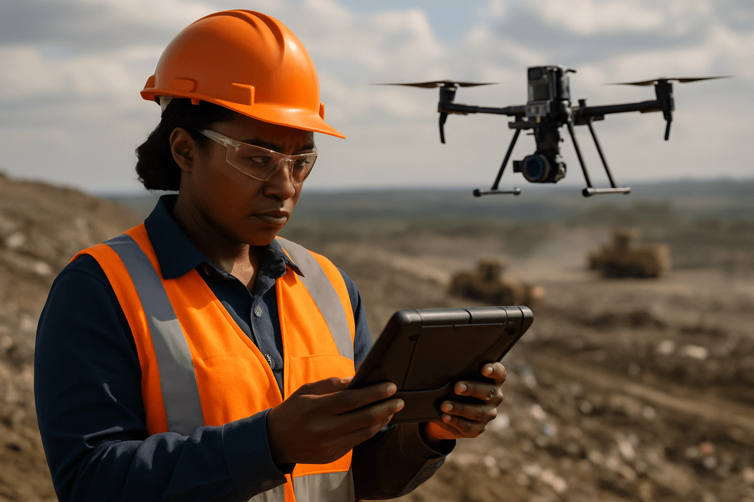
Unmanned Aerial Vehicles (UAVs), or drones, equipped with advanced sensors and imaging capabilities, offer a safer, more efficient, and highly accurate alternative to traditional landfill monitoring. Drones can cover vast territories quickly, collecting high-resolution data and providing real-time insights that were previously unattainable.
Key Benefits of Drone Surveys for Landfills
- Enhanced Safety: Drones eliminate the need for personnel to enter hazardous areas, significantly reducing the risk of accidents and exposure to harmful substances.
- Increased Efficiency and Speed: Drones can survey hundreds of acres in a single day, drastically cutting down the time required for data collection from days to hours.
- Cost-Effectiveness: By reducing labor costs, equipment needs, and the time spent on surveys, drones offer a more affordable solution than traditional methods. Some estimates suggest drone use can increase waste collection efficiency by up to 30% and save up to $100 million annually if adopted for just 5% of operations.
- High Accuracy and Data Richness: Drones capture millions of data points with centimeter-level precision, enabling the creation of highly accurate 3D models and detailed maps.
- Proactive Monitoring: Regular, frequent drone surveys allow for early detection of potential problems, shifting landfill management from reactive to proactive, which can prevent costly remediation and environmental damage.
Types of Data Collected by Drones
The versatility of drones in landfill monitoring stems from the array of sensors they can carry. These include:
- RGB Cameras: High-resolution cameras capture visual imagery for orthomosaics (detailed aerial maps) and 3D photogrammetric models.
- Thermal Cameras: These detect temperature variations, which are crucial for identifying hotspots indicating potential subsurface fires or areas of increased anaerobic decomposition and gas generation.
- LiDAR (Light Detection and Ranging): LiDAR sensors create highly accurate 3D point clouds, especially useful for capturing terrain data in vegetated or dusty environments, and for precise volumetric calculations.
- Gas Sensors: Specialized sensors can detect and quantify specific gases like methane and carbon dioxide, allowing for the identification of leaks and emission hotspots. Some advanced systems, like the SnifferDRONE, have even received EPA approval for methane emissions monitoring.
- Multispectral Cameras: These capture data across different light spectrums, useful for analyzing vegetation health around the landfill, which can indicate leachate leaks or other environmental impacts.
Key Applications of Drone Surveys in Landfill Monitoring
Drone technology offers a wide range of applications that enhance nearly every aspect of landfill monitoring and management:
1. Volumetric Analysis and Airspace Management
Drones can quickly capture the terrain data of landfills and generate 3D models, enabling precise calculation of waste accumulation volume and remaining airspace. This is critical for:
- Capacity Planning: Accurately assessing available landfill capacity and predicting its lifespan.
- Compaction Rate Optimization: By comparing volumes between surveys with weighbridge data, operators can determine and optimize compaction rates, maximizing the amount of waste within a given airspace.
- Overfill Prevention: Monitoring overfill against design specifications helps prevent costly repercussions from environmental agencies.
2. Settlement and Stability Analysis
Repeated drone surveys provide a visual history of the landfill, allowing managers to track settlement over time and identify areas of differential settlement or potential instability. This data is vital for:
- Geotechnical Monitoring: Assessing the stability of slopes and identifying instability points, especially crucial for large and complex landfill structures.
- Infrastructure Integrity: Monitoring for any deformations or changes that could affect landfill infrastructure.
3. Methane Emission Detection and Quantification
Methane is a potent greenhouse gas and a significant byproduct of landfill decomposition. Drones equipped with gas sensors, including laser methane detectors and thermal cameras, can effectively detect, pinpoint, and even quantify methane leaks.
- Compliance Monitoring: Meeting strict regulatory requirements, such as EPA’s surface emissions monitoring (SEM) standards, for which drone-based solutions like SnifferDRONE have received approval.
- Hotspot Identification: Thermal imaging can identify surface temperature variations that indicate potential subsurface fires or areas of high gas generation, enabling early intervention.
- Odor Control: Identifying gas leak sources can also help address pervasive odor issues that affect surrounding communities.
4. Environmental Compliance and Leachate Monitoring
Drones contribute significantly to environmental compliance by providing accurate data for various reporting requirements.
- Drainage and Stormwater Management: Drones capture detailed terrain data to monitor drainage paths, identify water ponding issues, and assess the effectiveness of stormwater controls.
- Vegetation Health: Multispectral imaging can monitor vegetation health, which can indicate the presence of leachate seeps or other forms of environmental contamination.
- Illegal Dumping Detection: Drones can identify unauthorized dumping activities in and around landfill sites.
5. Operational Efficiency and Planning
Drones optimize daily landfill operations by providing real-time insights for better decision-making.
- Traffic Flow and Equipment Coordination: Monitoring site activity to improve logistics and efficiency.
- Construction Progress Tracking: Documenting the progression of operational cells and ensuring adherence to design plans.
- Security and Surveillance: Providing an aerial overview for general site security, bird control, and intruder alerts.
The Drone Survey Workflow
A typical drone surveying workflow for landfills involves several key steps:
- Flight Planning: Defining the drone’s flight path using mission planning software and establishing ground control points (GCPs) for accurate georeferencing.
- Data Capture: The drone autonomously flies over the landfill, collecting hundreds to thousands of high-resolution images, LiDAR scans, or sensor readings.
- Data Processing: Specialized software processes the raw drone data (e.g., images for photogrammetry, LiDAR scans) to generate 2D orthomosaics, 3D point clouds, Digital Terrain Models (DTMs), and Digital Surface Models (DSMs). Cloud-based processing platforms are increasingly used for efficiency.
- Analysis and Reporting: The processed data is then used for volumetric calculations, thermal mapping, gas plume visualization, settlement analysis, and generating detailed reports for compliance, forecasting, and operational insights.
Challenges and Future Outlook
While drone technology offers significant advantages, some challenges remain, including limited flight time, susceptibility to weather conditions, and the need for licensing and insurance. Data security and integration with existing waste management systems also require ongoing attention.
However, the future of drones in waste management is promising. Integration into smart city infrastructures, where drones can detect overflowing bins or illegal dumpsites, and the use of AI to predict waste accumulation trends are on the horizon. Hybrid systems combining aerial drones with aquatic drones and ground-based robots could create closed-loop networks for comprehensive waste management. With continuous advancements in sensor technology, AI, and automation, drones are poised to become an indispensable tool for creating cleaner, safer, and more sustainable landfill operations worldwide.
Conclusion
Drone surveys are fundamentally transforming landfill monitoring and management by offering unparalleled efficiency, safety, and data accuracy. From precise volumetric calculations and settlement analysis to critical methane emission detection and environmental compliance monitoring, drones provide a comprehensive solution that traditional methods simply cannot match. As technology continues to evolve, these unmanned aerial vehicles will play an even more pivotal role in ensuring that landfills are managed responsibly, mitigating environmental impacts, and safeguarding public health.


