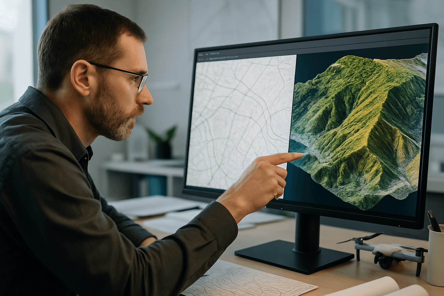
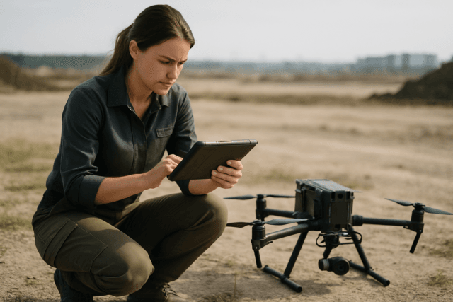
The advent of Unmanned Aerial Systems (UAS), commonly known as drones, has revolutionized surveying and mapping, offering unprecedented efficiency and access to complex terrains. A cornerstone of this revolution is the drone’s sensor resolution, a critical factor that directly dictates the level of detail and accuracy achievable in generated maps and 3D models. Understanding how sensor resolution influences mapping detail is paramount for professionals across various industries, from construction and agriculture to environmental monitoring and urban planning.
Understanding Drone Sensor Resolution
At its core, sensor resolution refers to the number of individual pixels a camera or sensor can capture. This is often expressed in megapixels (MP), where one megapixel equals one million pixels. A higher megapixel count generally means the sensor can capture more data points, leading to a more detailed image. For photogrammetry, where 3D models are reconstructed from overlapping 2D images, a higher image resolution means more detail for the processing software to compare when aligning images.
However, resolution is not merely about the number of pixels. The physical size of the sensor itself also plays a crucial role. A larger sensor with the same megapixel count will have larger individual pixels, which can gather more light and typically produce images with less noise and better overall quality, even if the nominal megapixel count is similar to a smaller sensor.
Ground Sample Distance (GSD): The Key Metric
While sensor resolution defines the camera’s intrinsic capability, Ground Sample Distance (GSD) is the most crucial metric for understanding mapping detail from a drone. GSD represents the real-world size of one pixel in the drone’s captured image, measured on the ground. For instance, a GSD of 5 cm/pixel means that each pixel in the image corresponds to a 5 cm by 5 cm square on the ground.
The relationship between GSD and mapping detail is inverse: a smaller GSD indicates higher resolution and greater detail, as each pixel covers a smaller area on the ground. Conversely, a larger GSD results in lower resolution and less detail. Achieving a low GSD is essential for precise data and detailed analytics, allowing for accurate measurements of features like stockpile volumes, distances between power lines, or topographical details.
Calculating GSD: GSD is influenced by several factors:
- Flight Altitude: The most significant physical determinant of GSD. Flying lower results in a smaller GSD and higher resolution.
- Camera Specifications:
- Sensor Size: A larger sensor can achieve a lower GSD from a higher flight altitude, enabling finer, more detailed imagery.
- Focal Length: The distance between the camera lens and the sensor. A longer focal length generally reduces GSD, improving image resolution.
- Image Width/Height: The dimensions of the captured image in pixels.
The general formula to calculate GSD involves these parameters: (flight altitude x sensor height) / (focal length x image height and/or width).
Sensor Types and Their Resolution Implications
Different types of drone sensors are optimized for various mapping applications, each with unique resolution characteristics:
RGB Cameras (Photogrammetry)
Standard RGB (Red, Green, Blue) cameras are the foundation for most aerial mapping operations, capturing visible light to create orthomosaics and digital elevation models. Modern RGB cameras for professional mapping can capture images exceeding 20 megapixels, with some reaching 24 MP. These can achieve GSDs as fine as 1-2 centimeters per pixel when flown at appropriate altitudes. Higher resolution RGB sensors enable the extraction of detailed measurements for precise volumetric calculations and feature identification. For photogrammetry, a minimum resolution of 12 megapixels is generally recommended, with 20 megapixels being considered ideal for professional results.
LiDAR Sensors
LiDAR (Light Detection and Ranging) technology uses laser pulses to generate precise three-dimensional point clouds, making it exceptionally valuable for capturing terrain elevations with centimeter-level accuracy, especially in areas with dense vegetation. Unlike photogrammetry, LiDAR actively measures distances, penetrating canopy to map the ground surface. LiDAR sensors offer vertical accuracy of 2-5cm and horizontal accuracy of 3-5cm. Their resolution is a function of flight altitude, scan rate (frequency), and angular resolution, often ranging from 2-3cm at 100m altitude for long-range LiDAR. LiDAR is particularly useful for complex applications like large-scale mapping and engineering, providing high-resolution data and precise measurements.
Multispectral and Hyperspectral Sensors
Multispectral sensors capture data across specific, discrete spectral bands beyond the visible light spectrum (e.g., green, red, red edge, near-infrared). This allows for the analysis of vegetation health, soil conditions, and water quality that are not discernible with RGB cameras. Hyperspectral sensors are even more advanced, measuring over 100 continuous bands, enabling the detection of minute differences in spectral signatures. For instance, the MicaSense Altum-PT combines multispectral, thermal, and a 12 MP high-resolution panchromatic sensor, capable of achieving a pan-sharpened ground resolution of 1.25 cm per pixel from a 60-meter flight altitude. This high spatial resolution is critical for machine learning applications at the plant level, such as early-stage crop counting.
Thermal Sensors
Thermal cameras detect heat signatures (infrared radiation) and are used for applications like search and rescue, industrial inspections (e.g., solar panel arrays, industrial roofs), and monitoring crop stress. The resolution of thermal cameras is typically lower than RGB or multispectral sensors, often ranging from 320×256 to 640×512 pixels. While their pixel count might be lower, their ability to visualize temperature differences provides a unique form of “detail” essential for specific analyses, enabling thermal maps at GSDs such as 17 cm from a 60-meter flight altitude.
Applications and Resolution Requirements
The optimal sensor resolution varies significantly depending on the specific mapping application:
- High-Precision Surveying and Construction: Requires very low GSD (e.g., 1-3 cm/pixel) for tasks like volumetric calculations, site progress monitoring, and as-built surveys. LiDAR is often preferred for its accuracy in generating Digital Elevation Models (DEMs) and Digital Surface Models (DSMs), especially in challenging terrains or under vegetation.
- Agriculture and Environmental Monitoring: Multispectral and hyperspectral sensors are critical for assessing crop health, detecting plant stress, mapping vegetation cover, and monitoring water quality. Resolutions that allow for detailed analysis at the plant level (e.g., 1-5 cm/pixel) are beneficial for precision agriculture.
- Infrastructure Inspection: High-resolution RGB and thermal cameras are used for inspecting power lines, pipelines, bridges, and buildings to identify structural defects or thermal anomalies. Detail down to a few millimeters or centimeters is often required.
- Urban Planning and 3D Modeling: High-resolution RGB photogrammetry creates detailed 3D models of urban environments, enabling accurate planning, visualization, and asset management.
Beyond Resolution: Other Factors Affecting Mapping Detail
While sensor resolution is a primary determinant, several other factors significantly impact the overall mapping detail and accuracy:
- Flight Altitude and Speed: As discussed, lower altitudes generally yield higher resolution (smaller GSD). However, flying too low increases flight time and complexity. Flight speed must also be controlled to prevent motion blur and image distortion, which can reduce accuracy.
- Lens Quality and Focal Length: High-quality lenses with appropriate focal lengths reduce distortion and produce sharper images, directly impacting the effective resolution and detail. Fixed lenses are often preferred for photogrammetry to maintain consistent parameters.
- Image Overlap and Processing Algorithms: Sufficient image overlap (e.g., 70% front and 60% side overlap) is crucial for accurate 3D model reconstruction in photogrammetry. Advanced photogrammetry software and processing algorithms play a vital role in stitching images, correcting distortions, and generating accurate models from the raw data.
- Environmental Conditions: Factors like wind, lighting, and atmospheric conditions (e.g., fog, haze) can affect image clarity and overall data quality, indirectly influencing the effective resolution.
- GPS Data Quality and Ground Control Points (GCPs): High-quality GPS data, especially from RTK (Real-Time Kinematic) or PPK (Post-Processed Kinematic) systems, significantly enhances the absolute accuracy of drone mapping. Ground Control Points (GCPs), which are physical markers with known precise coordinates, are critical for achieving centimeter-level absolute accuracy and correctly scaling and orienting the map.
Optimizing Sensor Resolution for Specific Mapping Needs
Choosing the right drone sensor and optimizing its resolution involves a balance between desired detail, project budget, time constraints, and data processing capabilities. For projects requiring sub-centimeter accuracy, investing in high-resolution cameras (e.g., 20 MP or higher) or LiDAR systems, combined with precise flight planning and advanced post-processing techniques (including GCPs or RTK/PPK), is essential. For broader agricultural assessments, multispectral sensors might be prioritized even if their spatial resolution is slightly lower than a top-tier RGB camera. Ultimately, the goal is to select a sensor and operational parameters that provide the necessary level of detail and accuracy to derive actionable insights without incurring unnecessary costs or complexities.
The Future of Drone Sensor Technology
The field of drone sensor technology continues to evolve rapidly. Advancements are leading to smaller, lighter, and more capable sensors across all types, allowing for longer flight times and easier integration. Improved sensor sensitivity, better onboard processing, and the increasing integration of AI and machine learning directly on the drone or in processing software will further enhance the quality and efficiency of mapping. These innovations promise even more detailed, accurate, and accessible drone-derived spatial data, expanding the applications of UAS in surveying and mapping.


