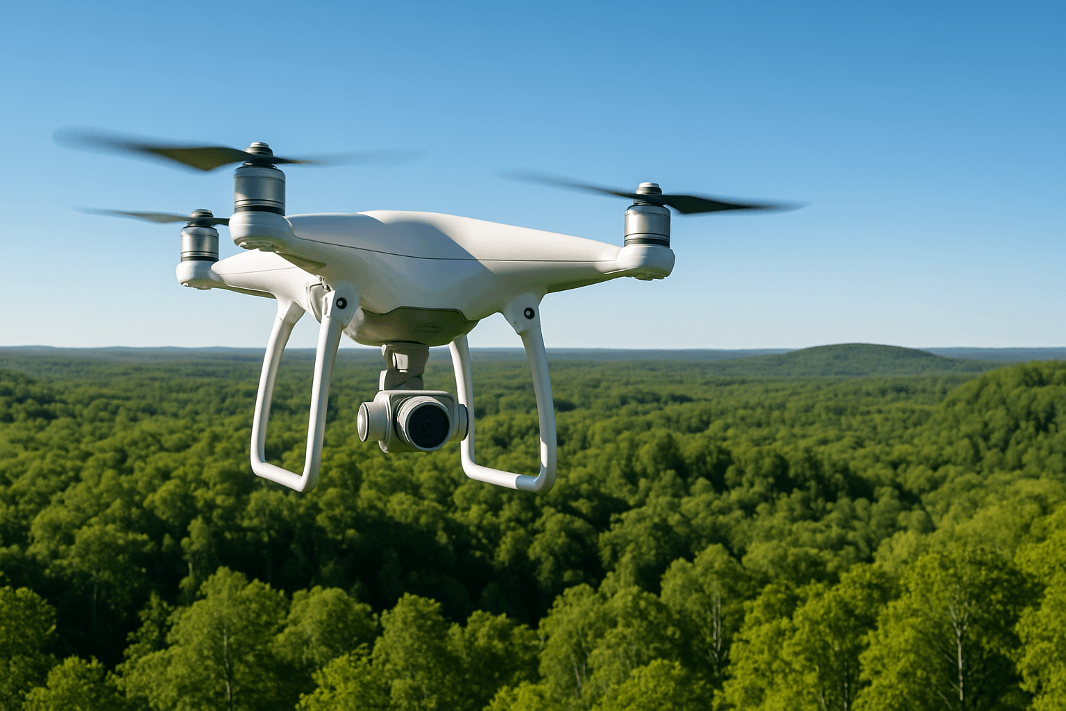
Drones, also known as Unmanned Aerial Vehicles (UAVs), have emerged as indispensable tools in environmental monitoring and conservation. Their ability to access remote and challenging locations, capture real-time data, and provide high-resolution imagery at a fraction of the cost of traditional methods has revolutionized how we understand and protect our planet. This article explores the diverse applications of drones in environmental monitoring, their benefits, technological considerations, and the regulatory landscape governing their use, particularly in the UK.
Why Drones are a Game Changer for Environmental Monitoring
Traditional environmental monitoring methods often involve satellite imagery or manned aircraft, which can be expensive, time-consuming, and limited in scope. Drones offer a cost-effective and flexible alternative, enabling researchers, conservationists, and environmental engineers to gather critical data more efficiently and effectively.
Key Advantages of Using Drones
- Accessibility: Drones can access remote and hazardous locations that are difficult or impossible for humans to reach, such as dense forests, mountains, and disaster zones.
- Real-time Data: Equipped with advanced sensors and cameras, drones can capture real-time data on changes in ecosystems, wildlife populations, and the impact of human activities.
- High-Resolution Imagery: Drones provide high-resolution aerial images and videos, allowing for detailed observation and analysis of environmental features.
- Cost-Effectiveness: Compared to traditional methods, drones offer a more affordable way to collect environmental data, reducing the need for extensive manpower and resources.
- Non-Intrusive Monitoring: Drones can monitor wildlife and ecosystems without disturbing natural habitats, minimizing the impact on sensitive species and environments.
Applications of Drones in Environmental Monitoring
Drones are used in a wide range of environmental monitoring applications, including:
1. Wildlife Conservation
Drones are revolutionizing wildlife conservation efforts by providing a non-intrusive way to monitor animal populations, study their behaviors, and protect them from threats like poaching and habitat loss.
- Population Monitoring: Drones equipped with high-resolution cameras and thermal imaging sensors can track animal populations, assess their health, and monitor their movements.
- Anti-Poaching: Drones can be used to detect and deter poaching activities, providing real-time surveillance of protected areas and alerting authorities to potential threats.
- Habitat Mapping: Drones can create detailed maps of wildlife habitats, helping conservationists understand the spatial distribution of species and identify areas that require protection.
2. Forest Management
Drones play a vital role in forest management by providing detailed aerial images and data that can be used to assess forest health, detect illegal logging, and monitor reforestation efforts.
- Forest Health Assessment: Drones equipped with multispectral sensors can assess the health of forests by measuring vegetation indices, detecting signs of stress, and identifying areas affected by disease or pests.
- Illegal Logging Detection: Drones can be used to monitor forests for illegal logging activities, providing evidence for law enforcement and helping to prevent deforestation.
- Reforestation Monitoring: Drones can monitor reforestation efforts by tracking the growth of new trees, assessing the success of planting programs, and identifying areas that require additional attention.
3. Coastal and Marine Monitoring
Drones are increasingly used to monitor coastal and marine environments, providing valuable data on coral reefs, seagrass beds, and water quality.
- Coral Reef Monitoring: Drones can track changes in coral cover, assess the health of coral reefs, and identify areas affected by bleaching or disease.
- Seagrass Bed Monitoring: Drones can monitor the health and extent of seagrass beds, which are important habitats for marine life and play a crucial role in carbon sequestration.
- Water Quality Assessment: Drones equipped with sensors can measure water temperature, salinity, and other parameters, helping to identify pollution sources and monitor water quality.
4. Disaster Response
In the wake of natural disasters, drones have proven to be invaluable tools for environmental monitoring and damage assessment.
- Damage Assessment: Drones can quickly assess the extent of damage caused by events such as hurricanes, floods, and wildfires, providing critical information for emergency response teams.
- Search and Rescue: Drones equipped with thermal imaging cameras can be used to search for survivors in disaster zones, helping to locate people who may be trapped or injured.
- Pollution Monitoring: Drones can monitor the spread of pollutants after industrial accidents or natural disasters, helping to assess the environmental impact and guide cleanup efforts.
5. Climate Change Research
Drones are emerging as powerful tools for studying and mitigating the effects of climate change.
- Glacier Monitoring: Drones can monitor changes in glaciers, tracking their retreat and assessing the impact of climate change on ice mass.
- Vegetation Monitoring: Drones can track shifts in vegetation patterns, providing data on how climate change is affecting ecosystems and biodiversity.
- Greenhouse Gas Emissions Measurement: Drones can measure greenhouse gas emissions from various sources, helping to identify areas where emissions can be reduced.
Key Technological Considerations
When selecting a drone for environmental monitoring and conservation, several key technological aspects should be considered:
- Payload Capacity and Sensors: Ensure the drone can carry the necessary sensors for data collection, such as high-resolution cameras, multispectral sensors, LiDAR, and thermal imaging cameras.
- Flight Time and Range: Consider drones with appropriate flight times and extended range capabilities to cover large areas efficiently.
- Navigation and Data Processing: Drones with autonomous flight features like obstacle avoidance can collect data efficiently and safely. Integrated data processing capabilities offer real-time analysis in the field and can reduce the need for duplicate flights.
- Data Management: Consider drones that offer compatibility with Geographic Information System (GIS) software for seamless data integration and analysis.
Environmental Monitoring with Drones in the UK
In the UK, drones are increasingly used for environmental monitoring and enforcement. The Environment Agency uses drones to combat waste crime, assess permitted sites, and improve incident response. Drones equipped with thermal imaging cameras can detect heat emissions from waste sites, helping to identify potential fire risks and ensure compliance with regulations. Local councils, such as Thurrock Council, are also authorized to use drones for environmental enforcement, investigating reports of environmental problems, detecting and preventing crime, and surveying sites that are difficult to access on the ground.
Regulations and Legal Framework in the UK
The use of drones in the UK is governed by the Civil Aviation Authority (CAA) and is subject to strict rules and regulations. Key provisions include:
- Registration: All drone operators owning or responsible for a drone weighing over 250 grams must register with the CAA.
- Flyer ID: Anyone flying a drone must pass an online theory test to obtain a flyer ID.
- Flying Zones and Restrictions: Drone pilots must adhere to restrictions on flying near airports, over 400 feet (120 metres), or in restricted zones.
- Visual Line of Sight (VLOS): Operators must be able to see the drone during flight to maintain control of it, unless they have permission for Beyond Visual Line of Sight (BVLOS) operations.
The CAA is currently focused on establishing routine BVLOS operations by 2027, which will enable drones to fly faster and more efficiently to remote and hard-to-access areas.
The Future of Drones in Environmental Monitoring
The future of drone technology in environmental monitoring is full of potential, with new innovations poised to enhance their capabilities and expand their applications.
- AI-Powered Drones: AI-powered drones could automatically identify and track species, detect environmental changes, and predict future trends, significantly reducing the time and effort required to analyze data.
- Swarming Technology: The development of swarming technology, where multiple drones work together as a coordinated unit, has the potential to revolutionize environmental monitoring by covering large areas more quickly and efficiently.
- Improved Sensors: Advances in sensor technology, such as hyperspectral imaging sensors, will enable drones to detect subtle changes in vegetation health, water quality, and soil composition, providing more detailed and accurate data.
- Integration with IoT: The integration of drones with the Internet of Things (IoT) will allow for real-time examination of habitats and immediate habitat monitoring, augmenting the functionalities of drones in conservation endeavors.
Conclusion
Drones have transformed environmental monitoring and conservation, offering a powerful and versatile tool for understanding and protecting our planet. From wildlife conservation and forest management to disaster response and climate change research, drones are providing valuable data and insights that were previously unattainable. As drone technology continues to advance, we can expect even greater innovation and impact in the years to come, helping us to address critical environmental challenges and ensure a sustainable future.


