Drones are revolutionizing agriculture, offering farmers unprecedented insights into their crops and fields. Equipped with advanced sensors and imaging technologies, these unmanned aerial vehicles (UAVs) provide a bird’s-eye view, enabling precision agriculture and optimizing resource management. From monitoring plant health to detecting pests and diseases, drones are becoming an indispensable tool for modern farmers looking to increase efficiency, reduce costs, and enhance sustainability.
What is Drone Crop Monitoring?
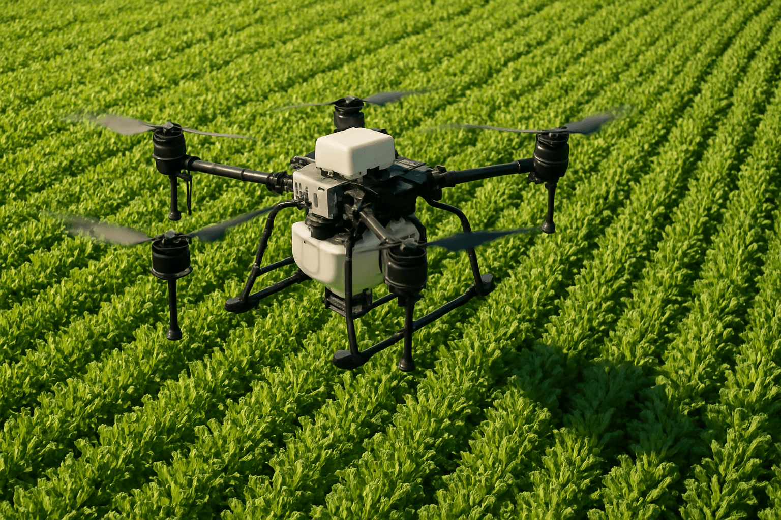
Drone crop monitoring involves using specialized aircraft equipped with sensors, cameras, and data collection tools to survey agricultural landscapes. These drones, ranging from small quadcopters to larger fixed-wing models, capture detailed data on crop health, soil conditions, and other vital parameters. By analyzing this information, farmers can make informed decisions about irrigation, fertilization, pest control, and harvesting, ultimately improving crop yields and profitability.
The Benefits of Drone Crop Monitoring
1. Enhanced Crop Health Monitoring
Drones equipped with multispectral sensors can detect early signs of crop stress, disease, or nutrient deficiencies. By capturing data across various light spectra, including near-infrared, these sensors reveal subtle changes in plant health that are invisible to the naked eye. This early detection allows farmers to intervene promptly, potentially saving entire crops from failure.
2. Precision Irrigation
Analyzing thermal imagery collected by drones helps farmers identify areas of water stress in their fields. This information enables the implementation of targeted irrigation strategies, conserving water and improving crop yields. Drones can also map terrain and assist in planning irrigation systems for optimal water distribution.
3. Pest and Weed Management
Drones can spot pest infestations or weed growth, allowing for targeted interventions. By identifying affected areas early, farmers can apply pesticides or herbicides precisely, minimizing chemical usage and reducing environmental impact. This targeted approach not only saves costs but also prevents chemical drift to non-target areas.
4. Optimized Fertilization
Drones can monitor nitrogen levels in soil using enhanced sensors, enabling the precise application of fertilizers. This targeted fertilization eliminates poor growing spots and improves soil health, leading to healthier crops and higher yields. By optimizing fertilizer use, farmers can also reduce operational expenses and environmental impact.
5. Accurate Yield Estimation
Drones contribute significantly to accurate crop yield estimation by capturing high-resolution imagery and collecting data on plant health and growth patterns. This information allows farmers to predict yields more accurately, optimizing harvesting schedules and marketing strategies.
6. Efficient Field Mapping and Planning
Drones can provide accurate field mapping, including elevation information, allowing growers to identify irregularities in the field. This data is useful in determining drainage patterns and wet/dry spots, enabling more efficient watering techniques. Detailed field maps also aid in planning planting and treatments to achieve the best possible yields.
7. Time and Labor Savings
Drones can cover up to 500 acres of farmland in a single day, a task that would take traditional methods weeks to complete. This 90% time-saving allows farmers to focus on critical tasks, improving overall efficiency and productivity. By automating monitoring tasks, drones also reduce labor costs, freeing up personnel for other essential operations.
8. Improved Security
Drones can be used to monitor the far reaches of a farm, saving valuable time and allowing for more frequent monitoring of hard-to-reach areas. Equipped with cameras, drones can provide an overview of farm operations throughout the day, ensuring everything is running smoothly and locating equipment being used. They can also be deployed to monitor fencing and perimeters, protecting valuable crops and livestock.
9. Soil and Field Analysis
Drones can gather detailed information about soil moisture levels by using thermal cameras to detect inconsistent heat signatures. Multispectral imagery can then identify struggling crops, allowing farmers to adjust irrigation plans accordingly. This comprehensive soil analysis helps optimize agricultural practices and improve soil health.
10. Livestock Monitoring
Drones are a powerful tool for livestock monitoring and management, providing farmers with the capability to oversee large herds of animals over expansive areas with minimal effort. By tracking livestock movement and monitoring their health, drones can help farmers efficiently manage grazing practices and detect insufficient water supplies in remote locations.
Types of Drones Used in Crop Monitoring
1. Fixed-Wing Drones
Fixed-wing drones are well-suited for large-scale farming operations, efficiently covering extensive areas in a single flight. Their longer flight times enable them to complete more comprehensive mapping and surveying tasks. However, fixed-wing drones have limited maneuverability compared to multirotor drones and typically require more space for take-off and landing.
2. Multi-Rotor Drones
Multi-rotor drones, such as quadcopters, offer greater maneuverability and are ideal for targeted monitoring of specific areas. They can hover in place to capture detailed images and videos, making them suitable for tasks like crop inspection and pest detection. However, multi-rotor drones typically have shorter flight times than fixed-wing drones.
3. Single-Rotor Drones
Single-rotor drones are larger drones with a single rotor and a tail rotor. They are efficient in carrying heavy payloads and covering large areas, making them suitable for tasks such as large-scale mapping, surveying, and crop analysis. Single-rotor drones offer long flight times and the ability to carry advanced sensors but are more complex in design and require skilled operators.
Sensors and Technologies Used in Drone Crop Monitoring
1. RGB Cameras
High-resolution RGB cameras capture detailed visual images of crops, allowing farmers to monitor plant growth, density, and coloration. These images can be used to create orthomosaics, which are high-resolution aerial maps that provide a comprehensive view of the entire field.
2. Multispectral Sensors
Multispectral sensors capture data across various light spectra, including visible and near-infrared light. This data provides valuable insights into plant health, soil conditions, and pest infestations. By analyzing multispectral images, farmers can identify areas of stress, such as nutrient deficiencies or disease outbreaks, enabling early detection and prevention.
3. Thermal Imaging Sensors
Thermal imaging sensors detect temperature variations in crops and soil. This technology can be used to identify areas of water stress, monitor irrigation efficiency, and detect disease outbreaks. Thermal cameras can also be used to monitor livestock and detect flooding or water pooling.
4. NDVI (Normalized Difference Vegetation Index)
NDVI is a widely used index that indicates plant health based on the difference between near-infrared and visible light reflected by vegetation. Drones equipped with NDVI imaging technology can provide precise color information to indicate crop conditions, allowing farmers to monitor plant health and detect problems early.
Challenges and Limitations of Drone Crop Monitoring
1. High Initial Investment
The cost of drones and their equipment can be significant, posing a barrier to entry for some farmers. Initial investments typically range from £5,000 to £20,000 for a comprehensive setup. However, the long-term cost-effectiveness of drones can outweigh the initial investment through increased efficiency, reduced resource usage, and improved crop yields.
2. Technical Skills Required
Operating and maintaining drones require trained personnel with expertise in drone piloting, data interpretation, and troubleshooting. Farmers must be proficient in these skills to get the most out of their drones. However, training programs and support services are available to help farmers develop the necessary technical expertise.
3. Limited Battery Life and Coverage
The limited battery life of drones constrains their flight time, reducing their operational efficiency. Extended flight times are crucial for covering large agricultural areas. However, advancements in battery technology are continuously improving flight times, and some drones offer hot-swappable battery systems to ensure continuous operation.
4. Weather Dependency
Adverse weather conditions, such as strong winds and heavy rain, can impact the performance and safety of drone operations. Weather-resistant drones are designed to operate in winds up to 40 mph, but extreme weather can still limit their usability. Farmers must carefully plan drone flights to avoid unfavorable weather conditions.
5. Regulatory Restrictions
Compliance with aviation and privacy regulations can be complex, posing a challenge for drone operators. In the UK, drone usage is regulated by the Civil Aviation Authority (CAA), and farmers must comply with drone registration requirements and follow guidelines for commercial drone operations.
Drone Regulations in the UK
The UK Civil Aviation Authority (CAA) regulates drone usage, and farmers must comply with drone registration requirements and follow guidelines for commercial drone operations. Key regulations include:
- Registration: Drones must be registered with the CAA, and operators must obtain a flyer ID and an operator ID.
- Age Restrictions: Drone operators must be at least 18 years old.
- Flying Restrictions: Drones cannot be flown within 50 meters of people, cars, or buildings in residential areas.
- Altitude Limits: Drones must not be flown above 400 feet.
It’s important to note that there are no specific regulations for AI-enabled drones in the UK. Drone operators are obligated to adhere to relevant regulations, including the EU’s Basic Regulation (or retained legislation in the UK), as well as domestic criminal and tort law in the country where the drone is being operated.
The Future of Drone Crop Monitoring
The future of drone crop monitoring is bright, with ongoing advancements in drone technology, sensor capabilities, and data analytics. The integration of weather-resistant drones with satellite-based monitoring systems presents exciting possibilities for comprehensive farm monitoring and predictive analytics. As drone technology becomes more accessible and affordable, it has the potential to transform the agricultural sector, making farming more efficient, sustainable, and profitable.
By embracing drone crop monitoring, farmers can unlock new insights into their fields, optimize resource management, and ultimately achieve sky-high harvests.


