Unmanned Aerial Vehicles (UAVs), commonly known as drones, have emerged as indispensable tools in the study and mitigation of geological hazards, particularly for mapping and analyzing the impact of landslides on river systems. Their ability to provide high-resolution data quickly and safely has transformed traditional surveying methods, offering unprecedented insights into dynamic geological processes.
The Critical Role of Drones in Landslide Assessment
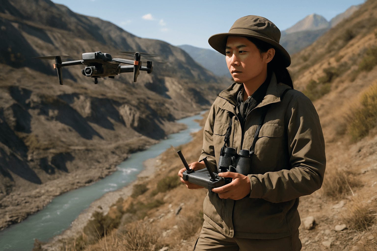
Landslides pose significant threats to infrastructure, property, and human life, often occurring in remote or hazardous terrains that are difficult and risky for human surveyors to access. Drones offer a viable, cost-effective, and flexible solution for comprehensive landslide geological surveys, encompassing characterization, mapping, and modeling.
High-Resolution Data Collection
One of the primary advantages of using drones for landslide mapping is their capacity to capture ultra-high-resolution imagery and data. Equipped with various advanced sensors, including RGB cameras, multispectral cameras, thermal infrared (IR) cameras, Synthetic Aperture Radar (SAR), and LiDAR (Light Detection and Ranging), drones can collect detailed information that surpasses the quality of satellite or traditional land-based surveys.
- Photogrammetry and 3D Modeling: Drones utilize photogrammetry, a technique that involves taking multiple overlapping aerial images, to create dense 3D point clouds, Digital Surface Models (DSMs), Digital Elevation Models (DEMs), and orthophotos. These models provide comprehensive information on landslide topography, including length, width, and geometry, and enable precise calculations of debris volume. By comparing multi-temporal models, researchers can monitor dynamic changes within landslide-prone areas with decimeter accuracy.
- LiDAR for Vegetation Penetration: LiDAR systems are particularly valuable for landslide studies as they can penetrate dense vegetation canopies to map the underlying ground surface, providing highly precise 3D models even in challenging environments. This capability is crucial for accurately assessing slope stability and ground deformation.
- SAR for All-Weather Monitoring: While less widespread than photogrammetric systems, UAV-based SAR, especially with interferometric synthetic aperture radar (InSAR) techniques, offers the advantage of operating in adverse weather conditions. It allows for the analysis of surface changes by comparing radar images taken at different times, providing critical information for assessing landslide risk.
Enhancing Safety and Efficiency
Traditional landslide investigation methods often involve costly and time-consuming ground surveys or manned aircraft, which can be limited by timely data acquisition and atmospheric conditions. Drones mitigate these issues by offering:
- Access to Hazardous Zones: Drones can safely access remote, rugged, and dangerous terrains, such as steep slopes and active landslide areas, without endangering human personnel.
- Rapid Deployment and Data Acquisition: Drones can be deployed quickly and cover vast areas in a short period, significantly reducing the time required for geological studies and enabling rapid post-landslide assessments for emergency response.
- Cost-Effectiveness: Compared to traditional methods, drones generally incur lower costs by reducing the need for extensive ground crews and expensive equipment.
Analyzing Landslide Impact on River Systems
Landslides can dramatically alter river systems through erosion, deposition, and changes in channel morphology. Drones provide critical data for understanding and quantifying these impacts.
Monitoring River Morphology Changes
Drones are instrumental in tracking changes in river channels and floodplains following landslide events. By comparing drone imagery and topographic data collected at different time points, researchers can monitor sediment distribution and identify trends in erosion and sediment transport dynamics.
- Digital Surface Models (DSMs) and Digital Elevation Models (DEMs) of Difference (DoD): Multi-temporal UAV-based DSMs are used to examine changes in erosion and deposition along river channels. The Difference of DEMs (DoD) methodology is a widely adopted tool for calculating volumetric changes in geomorphic change detection, particularly useful in areas affected by landslides and debris flows. This allows for quantification of spatial and volumetric changes of eroded or deposited sediment.
- Channel Morphology Metrics: Drone-based LiDAR systems provide high-resolution point clouds that enable precise measurements of channel morphology metrics, such as cross-sectional area, width, depth, and slope. This detailed information is crucial for monitoring stream stability and assessing aquatic habitat changes post-restoration or after a significant geological event.
Assessing Hydrological Impacts
Beyond direct morphological changes, drones contribute to understanding the broader hydrological impacts of landslides:
- Flood Mapping and Risk Assessment: Drones equipped with thermal imaging cameras can assess flood extent and damage in real-time, aiding rapid response. LiDAR-equipped drones can measure water surface elevations with high precision, which improves flood forecasting and risk assessment.
- Water Resource Management: Drones can assist in evaluating and monitoring surface water bodies and groundwater recharge zones, providing vital data for managing water resources and assessing the effects of extractions and consumption, which can be altered by landslide-induced changes in the landscape.
Advancements and Future Prospects
The capabilities of drones in geological research are continually evolving. Integration with advanced data analysis techniques, such as computer vision and machine learning algorithms, enhances their ability to automate object identification and real-time change detection in landslide-affected areas. As drone technology progresses, addressing regulatory hurdles, improving hover time limitations, and refining 3D reconstruction accuracy remain areas of ongoing development. The potential for integrating UAV swarms for even broader and more efficient data collection also presents exciting opportunities for the future of landslide and river system analysis.


