The world’s aquatic ecosystems, from vast oceans to intricate freshwater networks, face an unprecedented barrage of pollutants. These persistent contaminants often lead to subtle, long-term degradation that is challenging to detect and track using traditional methods. Yet, understanding these enduring impacts is critical for effective conservation. Enter drone technology: a transformative solution that is fundamentally changing how scientists monitor, assess, and ultimately combat the long-term effects of pollution on aquatic life.
The Unseen Threat: Why Long-Term Aquatic Pollution Monitoring Matters
Aquatic pollution encompasses a wide array of harmful substances, including plastics, chemicals, oil, excess nutrients, and thermal discharges, all of which can have devastating consequences for marine and freshwater organisms. The insidious nature of this pollution often means its full impact isn’t immediately visible, necessitating sustained observation.
The Insidious Nature of Aquatic Pollution
Pollution doesn’t always manifest as a dramatic oil spill. Microplastics accumulate over decades, nutrient runoff creates persistent algal blooms, and chemical contaminants slowly bioaccumulate in food webs, leading to chronic health issues, reproductive failures, and population declines in aquatic species over generations. Tracking these slow-burn crises requires consistent, high-resolution data over extended periods.
The Challenges of Traditional Monitoring
Historically, monitoring aquatic pollution relied on labor-intensive and often costly methods such as manned research vessels, satellite imagery (which can lack resolution for smaller areas), and direct sampling by divers. These approaches often struggle with accessibility to remote or hazardous areas, can disturb wildlife, and may not provide the desired spatial or temporal resolution needed for comprehensive long-term studies.
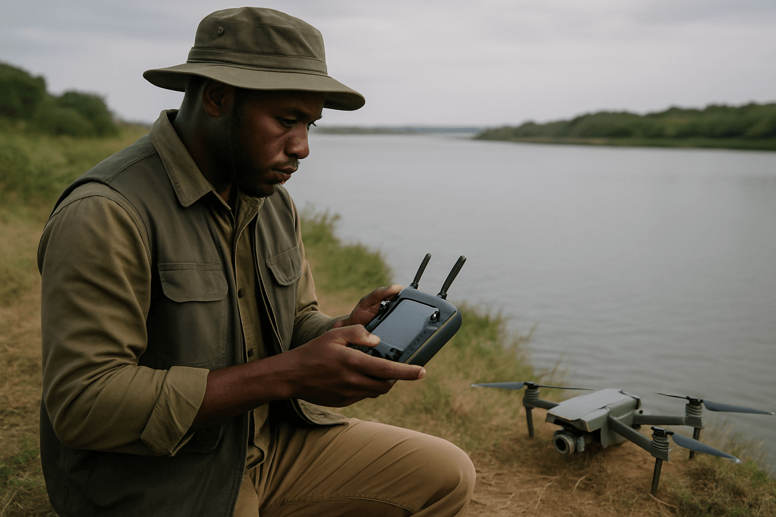
Drones: A New Horizon in Aquatic Research
Drones, both aerial and underwater, have emerged as game-changers, offering unparalleled convenience, precision, and cost-efficiency in aquatic surveillance and research. Their ability to access difficult-to-reach locations and gather diverse data types makes them invaluable for understanding pollution’s enduring legacy.
Aerial Drones: Eyes from Above
Unmanned Aerial Vehicles (UAVs) provide a unique bird’s-eye view, offering high-resolution imagery and enabling rapid surveys of vast or remote aquatic surfaces. They are particularly useful for:
- Mapping pollution hotspots: Identifying areas with concentrated plastic debris, oil sheens, or harmful algal blooms.
- Tracking environmental changes: Monitoring coastal erosion, changes in vegetation like seagrass beds, and the distribution of marine life.
- Non-invasive wildlife observation: Observing marine mammals, birds, and other surface-dwelling species without disturbance.
Underwater Drones: Exploring the Depths
Remotely Operated Vehicles (ROVs) and Autonomous Underwater Vehicles (AUVs) extend monitoring capabilities beneath the surface, exploring submerged habitats, mapping the seafloor, and collecting data from the water column. These underwater drones are crucial for:
- Inspecting underwater structures: Assessing coral reefs for bleaching or structural damage.
- Collecting water samples: Retrieving samples from precise locations and depths for laboratory analysis of chemical and biological parameters.
- Monitoring submerged litter: Identifying and mapping marine litter on the seabed and in shallow coastal waters.
Advanced Sensors and Data Collection Capabilities
The true power of drones in pollution studies lies in their payload – the sophisticated sensors they carry. These instruments allow for multi-parameter analysis, providing a holistic view of aquatic health.
Multispectral and Hyperspectral Imaging
Drones equipped with multispectral and hyperspectral imagers can detect subtle changes in water color and clarity, which are proxies for various environmental parameters. These advanced cameras are capable of:
- Chlorophyll-a detection: Indicating the presence and density of algae, crucial for tracking harmful algal blooms.
- Turbidity mapping: Measuring water cloudiness, often an indicator of sediment runoff or pollution.
- Vegetation health assessment: Monitoring the health of submerged aquatic vegetation like seagrass, which are vital habitats and sensitive pollution indicators.
Water Quality Parameter Measurement
Specialized sensors deployed by drones can measure a range of physical and chemical parameters directly in the water column or on the surface:
- Temperature: Detecting thermal pollution from industrial discharges or understanding climate change impacts.
- Dissolved Oxygen (DO): Crucial for aquatic life; low DO levels are often a sign of organic pollution.
- pH and Conductivity: Indicators of chemical contamination or changes in water chemistry due to pollutants.
- Nutrient levels: Tracking nitrogen and phosphorus, which can lead to eutrophication and dead zones.
Automated Sampling and Real-time Analysis
Some drone systems are designed for autonomous water sampling, collecting samples from specific GPS-guided locations and depths, which are then transported to mobile laboratories for rapid initial analysis. This capability allows for frequent, low-cost testing with minimal human intervention, providing preliminary contamination insights within minutes. Real-time mapping and 3D projections of collected data also offer immediate understanding of alarming situations.
Tracking Long-Term Ecological Impacts
Drones facilitate longitudinal studies, providing the consistent data streams needed to observe gradual changes and long-term effects of pollution on aquatic ecosystems.
Monitoring Marine Biodiversity and Habitats
By repeatedly surveying the same areas, drones help researchers track shifts in species distribution, population sizes, and habitat health over time. This includes:
- Coral reef health: Monitoring coral bleaching events and structural changes in reefs.
- Seagrass bed dynamics: Assessing the expansion or contraction of critical nursery habitats for marine species.
- Wildlife behavior and distribution: Observing how pollution might alter migratory patterns or feeding grounds for marine animals.
Assessing Pollution’s Chronic Effects
Drones provide valuable data to study the chronic impacts of various pollutants:
- Plastic pollution: Mapping the accumulation zones of plastic debris on beaches and in surface waters, and identifying marine macro-litter contamination.
- Nutrient pollution: Tracking the frequency and intensity of harmful algal blooms caused by excess nutrients over seasons and years.
- Heavy metal and chemical contamination: While direct detection might require laboratory analysis of drone-collected samples, drones can identify affected areas, such as those re-polluted by floods, allowing for targeted long-term observation.
- Debris entanglement: Drones have been used to observe the adverse long-term effects of debris entanglement on marine mammal growth and development.
Understanding Climate Change Interactions
Pollution often exacerbates the impacts of climate change. Drones contribute to understanding this complex interplay by collecting long-term environmental data such as temperature fluctuations, salinity levels, and ocean acidification trends, which are crucial for comprehending climate-related shifts in marine ecosystems.
Advantages of Drone Technology in Longitudinal Studies
The adoption of drones brings several key advantages that make long-term aquatic pollution studies more feasible and effective:
Enhanced Accessibility and Safety
Drones can reach remote, hazardous, or otherwise inaccessible areas of water bodies, such as dangerous currents, polluted industrial outflows, or vast open ocean stretches, without risking human safety. This greatly expands the scope of long-term monitoring.
Cost-Effectiveness and Efficiency
Compared to traditional methods involving manned vessels or aircraft, drones significantly reduce operational costs and time. They can conduct frequent surveys, collecting large quantities of data quickly and efficiently, making long-term, high-frequency monitoring more economically viable.
High-Resolution and Consistent Data
Drones offer unprecedented high-resolution data, capturing fine-scale details that might be missed by satellites or broad ship-based surveys. Their ability to follow programmed routes ensures consistent data collection over time, which is essential for detecting subtle long-term trends and changes. They are also less sensitive to cloud cover than satellite imagery, needing only sufficient light.
Overcoming Challenges and Looking to the Future
While drone technology offers immense promise, challenges remain, particularly in data management and standardization. The sheer volume of data collected requires robust processing and analysis frameworks.
Data Management and Standardization
Challenges include data georeferencing, processing, calibration, and sharing. Developing uniform methodologies and protocols for drone-based data collection and analysis is crucial to ensure data quality control and comparability across different studies and regions.
Integrating AI and IoT for Smarter Monitoring
The future of drone-assisted aquatic research lies in further integration with advanced technologies. AI-powered analysis can process vast datasets, identify anomalies, track species, and predict pollution trends more efficiently. Enhanced battery life, multi-sensor integration, and the incorporation of drones with the Internet of Things (IoT) will enable even more autonomous, real-time, and comprehensive habitat monitoring, making them increasingly effective in tracking biodiversity, monitoring climate impacts, and supporting conservation efforts for the long haul.
Conclusion
Drones are no longer just futuristic gadgets; they are essential tools revolutionizing the long-term study of pollution on aquatic life. By providing unprecedented access, detailed data, and cost-effective monitoring capabilities, these robotic platforms are enabling scientists to gain a deeper, more continuous understanding of the complex and persistent threats facing our oceans, rivers, and lakes. As technology continues to evolve, drones will undoubtedly play an even more critical role in safeguarding these vital ecosystems for generations to come.


