The landscape of surveying and mapping has been dramatically transformed by the advent of drone technology, offering unparalleled efficiency, accuracy, and safety. Unmanned Aerial Systems (UAS), commonly known as drones, have become indispensable tools for professionals across industries, from construction and agriculture to environmental monitoring and urban planning. This evolution allows for the rapid collection of highly precise geospatial data, far surpassing traditional methods in many applications.
Why Drones are Revolutionizing Surveying and Mapping
Drones bring a suite of compelling advantages to the field of surveying and mapping:
- Enhanced Efficiency and Speed: Drones can cover vast areas quickly, collecting thousands of images or data points in a single flight, a task that would take traditional methods weeks to accomplish. This significantly reduces project timelines and labor costs.
- Superior Accuracy and Detail: Equipped with advanced sensors and GPS technology, drones can achieve centimeter-level accuracy, generating detailed 2D maps, 3D models, orthomosaics, and digital elevation models (DEMs).
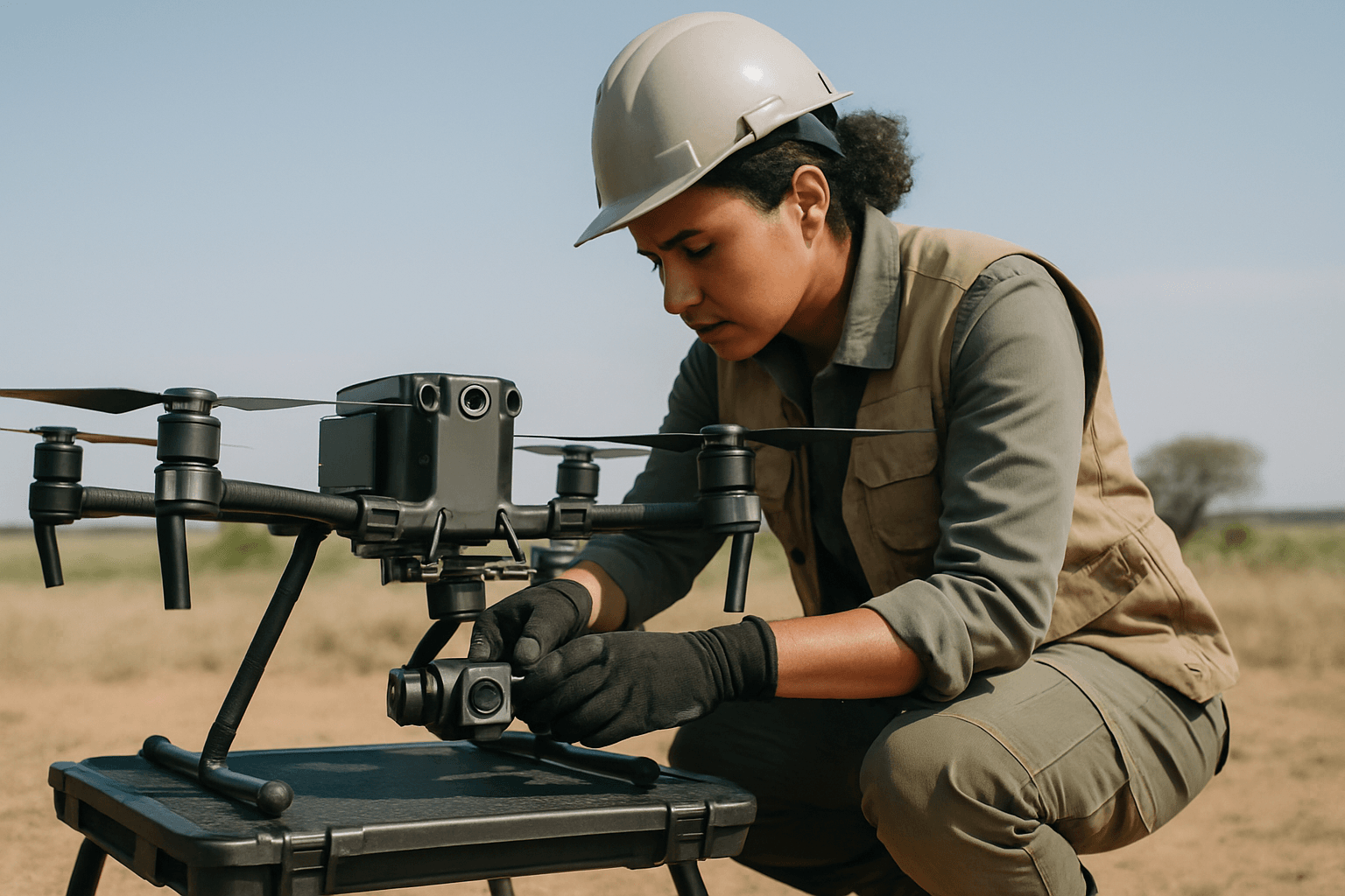
- Improved Safety: Drones can access hazardous or hard-to-reach areas, such as steep slopes, active construction sites, or dense forests, without putting human surveyors at risk.
- Cost-Effectiveness: Compared to traditional methods requiring extensive personnel and heavy equipment, drones are generally more cost-effective to operate.
- Better Quality Data: Modern drones can carry specialized payloads like LiDAR and thermal cameras, capturing data that might be missed by conventional surveying techniques.
Key Drone Technologies for Precision Mapping
To achieve survey-grade results, specific drone technologies and features are crucial.
Real-Time Kinematic (RTK) and Post-Processed Kinematic (PPK)
One of the most significant advancements for drone surveying accuracy is the integration of RTK and PPK GPS correction methods. Both techniques enhance the accuracy of Global Navigation Satellite System (GNSS) data to centimeter-level precision, greatly reducing or even eliminating the need for Ground Control Points (GCPs).
- RTK (Real-Time Kinematic): An RTK drone receives real-time corrections during flight from a GNSS base station or network. This provides immediate, highly accurate geotagged imagery. RTK is ideal for time-sensitive projects where instant positioning data is critical, such as monitoring active construction sites. However, it requires a constant, stable communication link, and signal loss can compromise accuracy.
- PPK (Post-Processed Kinematic): A PPK drone records GNSS positioning data during flight, and corrections are applied after the mission during post-processing. This method offers high accuracy without relying on a continuous real-time connection, making it more robust in areas with patchy signal coverage or for longer flights where signal interruptions might occur. PPK often delivers higher absolute accuracy due to the ability to use complete satellite data and correction logs.
Many modern airframes support both RTK and PPK workflows, sometimes even combining them for enhanced reliability, logging raw data while applying real-time corrections when possible.
Sensor Technology: Photogrammetry vs. LiDAR
The choice of sensor payload is paramount, with photogrammetry and LiDAR being the two dominant technologies for aerial mapping.
Photogrammetry Drones
Photogrammetry involves capturing multiple high-resolution aerial photographs from various angles and stitching them together using specialized software to create 2D maps, orthomosaics, and 3D models.
- Strengths: Generally more cost-effective due to less complex equipment, photogrammetry provides visually rich, textured models. It is excellent for imaging bare earth sites, earthworks, and construction projects not heavily obscured by vegetation.
- Limitations: Photogrammetry struggles in areas with dense vegetation because cameras cannot “see” through leaves to capture ground topography, leading to reduced accuracy for Digital Terrain Models (DTMs). Its accuracy can also be impacted by low light, dust, or cloud cover.
LiDAR Drones
LiDAR (Light Detection and Ranging) is an active remote sensing technique that uses pulsed laser beams to measure distances to the Earth’s surface. It generates a 3D point cloud, providing highly accurate elevation data.
- Strengths: LiDAR excels in areas with heavy vegetation, as laser pulses can penetrate gaps in the canopy to map the bare ground beneath. It offers high relative and absolute accuracy (within centimeters) and is superior for detecting small or narrow objects like power cables, pipelines, and sharp-edged features. LiDAR can also collect data day or night.
- Limitations: LiDAR systems are typically more expensive and complex than photogrammetry setups. While they provide detailed 3D geometric data, the raw point clouds usually require external texture application for photorealistic visualization.
Hybrid Approaches
For comprehensive data capture, combining both LiDAR and photogrammetry is increasingly common. LiDAR provides precise 3D geometry, while photogrammetry offers rich visual context and texture, leading to more detailed and accurate 3D models.
Drone Platforms and Hardware Considerations
The drone platform itself is crucial, with both multi-rotor and fixed-wing options available.
- Multi-Rotor Drones: These are versatile and easily controlled, favored for their stability and suitability for various mapping applications, especially over smaller to medium-sized areas or complex terrain. Popular examples for mapping include the DJI Mavic 3 Enterprise, DJI Matrice 350 RTK, Autel EVO II Pro RTK V3, and DJI Air 2S.
- Fixed-Wing Drones: Resembling miniature airplanes, fixed-wing drones offer significantly extended flight times and energy efficiency, making them ideal for large-scale mapping endeavors and covering extensive linear corridors. Examples include the WingtraOne Gen II and AgEagle’s eBee X.
Key hardware features to consider for mapping drones include:
- Camera Sensor: A large sensor (e.g., 1-inch CMOS) and high megapixel count (20MP or more) ensure detailed images. A mechanical shutter is preferred over a rolling shutter to avoid image distortion during flight.
- Flight Time and Endurance: Longer battery life is crucial for covering larger areas and reducing downtime for battery changes. Drones like the WingtraOne Pro offer 90+ minute flight times.
- Wind Resistance: The ability to operate in varying weather conditions is important for consistent data collection.
- Obstacle Avoidance: Advanced obstacle sensing systems enhance safety, especially in complex environments.
Essential Drone Mapping Software
Beyond the hardware, robust software is vital for planning missions, processing data, and generating deliverables. These tools transform raw drone data into actionable insights.
Top drone mapping software solutions often mentioned for their capabilities include:
- UgCS by SPH Engineering: Highly regarded for advanced mission planning, particularly for LiDAR and photogrammetry over complex terrain, corridors, and linear assets. It offers a dedicated LiDAR toolset and automation features.
- Pix4D (e.g., Pix4Dmapper, Pix4Dmatic): A leading photogrammetry software known for its professional-grade tools, versatility, accuracy, and control over processing parameters. It’s an industry standard for many professional mapping applications.
- DroneDeploy: A popular cloud-based platform recognized for its user-friendliness, comprehensive mapping and analysis capabilities, and strong 2D/3D outputs, often favored for construction and stockpile volume surveys.
- DJI Terra: Seamlessly integrates with DJI enterprise drones, offering efficient processing for DJI users to create 2D orthomosaics and 3D models.
- Esri SiteScan: An end-to-end cloud-based platform recommended for 3D outputs and seamless integration with the ArcGIS ecosystem for advanced analytics.
- Agisoft Metashape (formerly PhotoScan): Excellent for photogrammetry and creating detailed 3D models, often blending photogrammetry and LiDAR data.
The choice of software depends on specific project needs, budget, the type of data being collected (LiDAR vs. photogrammetry), and desired output formats (e.g., orthomosaics, point clouds, digital twins).
Conclusion: The Future is Aerial
The best drone technology for aerial mapping and surveying combines advanced drone platforms with high-precision GNSS correction systems (RTK/PPK), specialized sensor payloads (photogrammetry, LiDAR, or both), and sophisticated processing software. This integrated approach delivers unparalleled accuracy, efficiency, and safety, making drones an indispensable tool for modern geospatial professionals. As technology continues to evolve, drones will further cement their role as the cornerstone of efficient and precise mapping and surveying operations.


