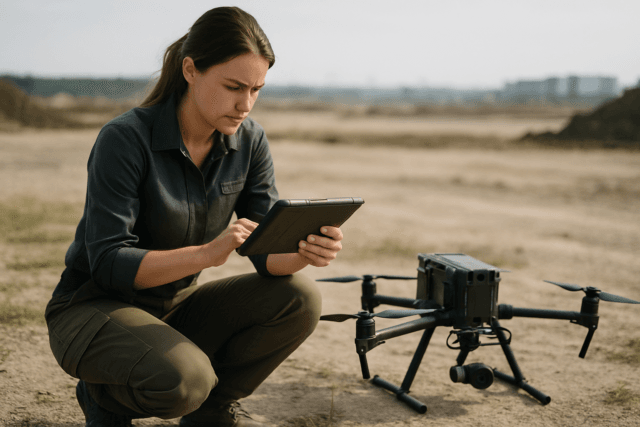
Topographic surveying, the art and science of mapping the Earth’s surface and its features, has long been a cornerstone of civil engineering, construction, urban planning, and environmental management. Traditionally, this painstaking process relied on manual measurements, total stations, and ground-based GPS, often proving time-consuming, labor-intensive, and susceptible to human error. However, the advent of Unmanned Aerial Systems (UAS), commonly known as drones, has ushered in a new era of efficiency and, more significantly, unparalleled accuracy in topographic surveying. Drones equipped with advanced sensors and sophisticated positioning technologies are now capable of capturing highly detailed data, leading to precise 3D models and digital elevation models (DEMs) with centimeter-level accuracy.
Understanding Topographic Surveying and Traditional Challenges
Topographic surveying aims to capture the precise elevation and position of natural and man-made features across a landscape to create detailed maps and 3D models. These maps are critical for planning and executing projects, managing resources, and making informed decisions.
Historically, topographic surveys were conducted using a variety of methods:
- Tape and Compass: A basic, yet effective method for small-scale projects, though not the most accurate over long distances or rough terrain.
- Total Stations: These instruments combine angle and distance measurement capabilities, offering improved accuracy over manual methods.
- Traditional GPS-based Surveys: While enhancing accuracy and reducing the need for extensive manual data collection, traditional GPS can be affected by obstructions like trees or buildings, and surveyors still need to be physically present at the site.
These traditional methods, while foundational, often present significant limitations. They are time-consuming, labor-intensive, and can pose safety risks when surveying hazardous or inaccessible terrain, such as steep slopes, unstable ground, or heavily forested areas. Furthermore, the density of data points collected can be limited, potentially leading to less detailed and less accurate representations of complex terrain.
Drone Technologies Driving Accuracy Improvements
Drones leverage several cutting-edge technologies that collectively enhance the accuracy of topographic surveying:
Photogrammetry: Creating Detailed 3D Models from Images
Drone photogrammetry involves capturing a series of overlapping high-resolution images of the terrain from various angles. Specialized software then processes these images, stitching them together to create orthomosaics (georeferenced photographic maps) and precise 3D models, including Digital Elevation Models (DEMs) and Digital Surface Models (DSMs).
- High-Resolution Imaging: Modern drones carry high-resolution cameras that capture incredibly detailed visual data. The quality of the camera and the flight altitude directly impact the ground sample distance (GSD), which is a measure of spatial resolution on the ground. Lower altitudes and higher-resolution cameras yield finer GSD, resulting in more precise maps.
- Overlapping Imagery: By capturing images with significant overlap (often 70% or more), photogrammetry software can reconstruct the terrain with high geometric accuracy, ensuring consistency across the entire survey area.
- Data Density: Drones can capture thousands of measurements, creating a much denser dataset than traditional methods. This improved data density leads to more accurate volume measurements and a richer, more detailed digital representation of the surveyed area.
LiDAR: Penetrating Vegetation for True Ground Models
LiDAR (Light Detection and Ranging) technology uses laser pulses to measure distances to the ground, creating a highly accurate 3D point cloud of the terrain. Unlike photogrammetry, which relies on visible light and can be obstructed by dense vegetation, LiDAR’s laser pulses can penetrate through foliage to map the bare earth beneath.
- Direct Elevation Measurement: LiDAR directly measures elevation points, offering superior accuracy for terrain mapping, especially in areas with heavy vegetation where photogrammetry might struggle to capture the actual ground surface.
- High Point Density: Drone LiDAR systems can collect hundreds of thousands of pulses per second, resulting in extremely dense point clouds—often saturating the terrain with an average of about 150 points per square meter. This high density ensures a comprehensive and accurate representation of complex terrain features.
- Consistent Accuracy: LiDAR provides consistent data quality and accuracy across various environments, even in challenging conditions or low-light situations.
RTK and PPK GPS: Real-time and Post-processed Kinematic for Enhanced Positioning
Standard Global Navigation Satellite System (GNSS) receivers in drones can have positional errors ranging from 1 to 5 meters. To overcome this, survey-grade drones incorporate Real-Time Kinematic (RTK) or Post-Processed Kinematic (PPK) technology.
- RTK (Real-Time Kinematic): RTK systems use a ground-based reference station or a correction service to send real-time corrections to the drone’s GPS receiver during flight. This allows the drone to geotag images and collect data with centimeter-level precision in real-time. RTK significantly reduces or even eliminates the need for extensive ground control points (GCPs), streamlining workflows.
- PPK (Post-Processed Kinematic): PPK systems record raw GNSS data on the drone and from a base station, and then apply corrections during post-processing after the flight. While not real-time, PPK offers similar centimeter-level accuracy to RTK and can be more robust in environments with inconsistent connectivity, as it doesn’t rely on a continuous data link during the flight.
- Centimeter-Level Accuracy: Both RTK and PPK correct raw GPS signals, narrowing down positional errors from meters to centimeters, which is crucial for cadastral, infrastructure, and volumetric surveys.
Ground Control Points (GCPs): Anchoring Aerial Data to Reality
Even with RTK/PPK systems, Ground Control Points (GCPs) play a vital role in ensuring the highest level of absolute accuracy in drone surveys. GCPs are precisely surveyed and marked locations on the ground with known coordinates.
- Positional Accuracy: GCPs serve as anchors, aligning the drone-collected data with real-world coordinates and ensuring that the maps and 3D models are not just visually accurate but geographically reliable. They reduce the margin of error from meters to centimeters.
- Validation and Refinement: While RTK/PPK drones can achieve high accuracy without numerous GCPs, strategically placed GCPs are still recommended for ultimate precision, particularly for vertical accuracy (Z-axis). They help identify and correct any subtle distortions or errors that might arise from drone movement, sensor calibration, or atmospheric interference.
- Optimal Placement: The effectiveness of GCPs depends heavily on their optimal geometry and distribution across the entire surveyed area, rather than simply their quantity.
Overall Accuracy Benefits of Drone-Based Surveying
The integration of these technologies allows drones to offer significant improvements in topographic surveying accuracy compared to traditional methods:
- Higher Data Density and Resolution: Drones capture a far greater number of data points over large areas in a fraction of the time, providing a more comprehensive and detailed representation of the terrain. This leads to highly precise 3D models and digital elevation models (DEMs).
- Reduced Human Error: Automating data collection via drones minimizes the potential for errors caused by manual measurements, instrument setup, or data transcription.
- Consistent Data Quality: Drones can maintain consistent data quality across the entire survey area, ensuring uniform accuracy throughout the project.
- Centimeter-Level Precision: Depending on the equipment and methodologies (e.g., LiDAR, RTK/PPK, and proper GCP implementation), drone surveys can achieve accuracy ranging from 1 to 5 centimeters, or even sub-centimeter accuracy for specific applications. This level of precision is critical for projects requiring exact measurements, such as engineering and land development.
- Access to Difficult Terrain: Drones can safely and efficiently survey areas that are challenging or dangerous for human surveyors to access, such as steep slopes, dense forests, or active construction sites, without compromising data quality.
- Timeliness and Cost-Effectiveness: The speed of data acquisition allows for rapid project turnarounds and significantly reduces labor costs, making high-accuracy surveys more economically viable for a wider range of applications.
In conclusion, drones have profoundly transformed topographic surveying by providing enhanced efficiency, increased safety, and, most importantly, dramatically improved accuracy. Through advanced photogrammetry, LiDAR, RTK/PPK GPS, and the strategic use of ground control points, drones deliver comprehensive, high-resolution, and centimeter-level precise data, enabling better planning, more accurate measurements, and ultimately, more successful project outcomes across various industries.


