Topographic maps are the bedrock of any successful infrastructure project, providing essential details about the Earth’s surface, elevation, and features. Traditionally, creating these maps has been a time-consuming, labor-intensive, and often hazardous endeavor, relying on ground crews and specialized equipment that can take weeks to complete. However, the advent of Unmanned Aerial Systems (UAS), commonly known as drones, has ushered in a new era of efficiency, accuracy, and safety in surveying and mapping, fundamentally transforming how we approach infrastructure planning and development.
The Indispensable Role of Topographic Maps in Infrastructure
Topographic maps depict the three-dimensional peaks and valleys of terrain on a two-dimensional surface, using contour lines to represent shape and elevation. They are vital resources for cataloging and visualizing mass distribution on the Earth’s surface, providing critical data for various applications, including road design, urban planning, construction site preparation, and environmental assessments. Accurate topographic data is crucial for effective project management, helping engineers and architects plan with greater precision, identify potential risks, and avoid costly mistakes and delays in construction.
How Drones Simplify Topographic Mapping
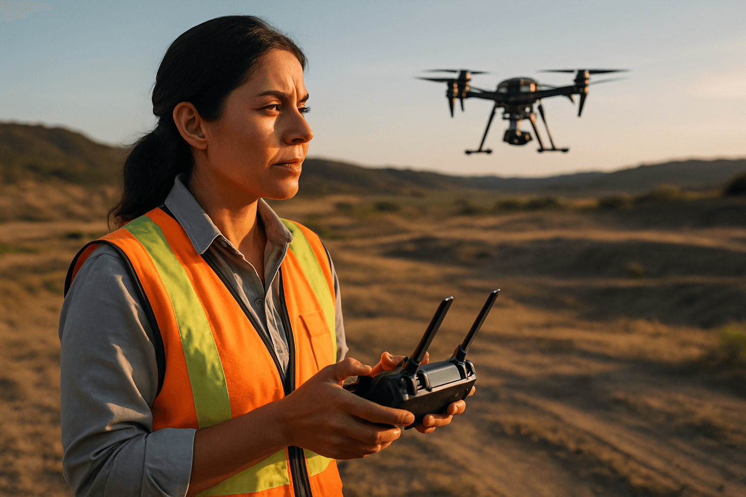
Drones have emerged as a game-changing tool for topographic surveys, offering a faster, safer, and more accurate alternative to traditional methods. Equipped with advanced sensors like high-resolution RGB cameras and LiDAR, these unmanned aerial vehicles (UAVs) can collect vast amounts of geospatial data from above, even in difficult-to-access or hazardous areas. The process generally involves three main stages: data acquisition, data processing, and analysis.
Data Acquisition: Photogrammetry vs. LiDAR
The primary methods for drone-based data acquisition in topographic mapping are photogrammetry and LiDAR (Light Detection and Ranging). Both techniques generate detailed 3D models and precise measurements, but they operate differently and are suited for different conditions.
Photogrammetry: Image-Based 3D Reconstruction
Photogrammetry involves capturing a series of high-resolution, overlapping aerial photographs from various angles using RGB cameras mounted on a drone. Specialized software then digitally stitches these images together, identifying common points across photos to reconstruct the terrain into detailed 2D orthomosaics and 3D models. Photogrammetry is generally more cost-effective due to the lower price of camera-equipped drones and is excellent for projects requiring visual data or managing volumes in mining and civil construction.
LiDAR: Laser Precision for Bare Earth Mapping
LiDAR is an active remote sensing technology that uses pulsed infrared laser beams to measure distances to the Earth’s surface. The system generates a dense 3D point cloud by measuring the time it takes for laser pulses to reflect off objects and return to the sensor. A significant advantage of LiDAR is its ability to penetrate dense vegetation, allowing it to map the bare earth underneath tree canopies, which photogrammetry often struggles with. This makes LiDAR ideal for projects where accuracy and precision are crucial, or in areas with heavy vegetation. While LiDAR systems are typically more expensive, they offer higher relative and absolute accuracy, often within centimeters.
The Drone Mapping Workflow
A typical drone topographic mapping workflow can be broken down into several key steps:
- Planning the Survey Mission: This crucial initial step involves defining objectives, selecting the appropriate drone and payload (RGB camera for photogrammetry or LiDAR sensor), and mapping the area using flight planning software (e.g., DJI Pilot 2, Pix4D) to set survey boundaries and flight paths. Considerations include desired data, required outputs (e.g., contours, elevation models, 3D maps), and the terrain characteristics.
- Executing the Flight: Before takeoff, equipment calibration is essential for accurate data collection. The pre-programmed flight plan is then executed, with the drone capturing overlapping images (typically 75% front and 60% side overlap for photogrammetry) or emitting laser pulses. Maintaining line-of-sight (or Beyond Visual Line of Sight with necessary approvals) and monitoring flight progress are key. Modern drones often integrate Real-Time Kinematic (RTK) or Post-Processed Kinematic (PPK) GPS technology, enhancing positional accuracy and sometimes reducing the need for extensive Ground Control Points (GCPs).
- Data Processing: Once data is collected, images and sensor data are imported into specialized mapping software (e.g., Pix4Dmapper, DJI Terra, DroneDeploy). The software processes the raw data to generate various outputs, including orthomosaics (distortion-free, true-scale aerial images), Digital Surface Models (DSMs) which capture elevations including objects, Digital Terrain Models (DTMs) which represent the bare earth, 3D point clouds, and contour maps.
- Accuracy Validation: To ensure the reliability of the generated maps, accuracy is validated through Root Mean Square Error (RMSE) checks and by comparing results against independent checkpoints.
- Export and Deliver: The final deliverables can be exported in various industry-standard formats, ready for use in Geographic Information Systems (GIS), engineering design, and other planning tools.
Key Benefits of Drone Topographic Mapping for Infrastructure
The adoption of drones for topographic mapping offers significant advantages across the entire lifecycle of infrastructure projects:
Enhanced Accuracy and Detail
Modern drones equipped with advanced sensors can collect high-resolution data, resulting in pinpoint-accurate maps with centimeter-level precision. This level of detail allows for the creation of precise 3D models and digital terrain models, which are crucial for intricate infrastructure design and analysis.
Significant Time and Cost Savings
What traditionally took weeks can now be accomplished in hours or days, leading to faster project completion and reduced labor costs. Drones can cover large or complex areas much more quickly than ground-based crews, minimizing site disruption and enabling rapid data acquisition.
Improved Safety and Accessibility
Surveying hazardous or difficult terrains, such as steep slopes, active construction zones, or remote areas, can be done remotely using drones, drastically minimizing risk to personnel. Drones eliminate the need for surveyors to traverse dangerous environments, enhancing overall safety.
Comprehensive Coverage and Data Versatility
Drones can capture extensive data over large areas, providing comprehensive coverage that might be challenging or impractical with traditional methods. The collected data can be used to generate a wide array of outputs, from 2D orthomosaics and contour maps to detailed 3D models and volumetric measurements, supporting diverse project needs from initial planning to ongoing monitoring.
Challenges and Considerations
Despite the numerous benefits, implementing drone-based topographic mapping for infrastructure planning also presents certain challenges:
Regulatory and Licensing Compliance
Operating drones for commercial purposes is subject to stringent regulations set by aviation authorities (e.g., FAA Part 107 in the US, EASA regulations in the EU). Pilots must be certified, adhere to flight restrictions (e.g., maintaining line-of-sight, altitude limits), and obtain necessary approvals for specific operations. Additionally, state and local privacy laws regarding flying over private property require careful consideration and often consent from property owners.
Data Processing and Expertise
While data acquisition is fast, the post-processing of drone data can be complex and time-consuming, requiring specialized software and skilled personnel to accurately convert raw imagery and point clouds into usable maps and models. The quality of the final output heavily depends on the expertise in data analysis and interpretation.
Environmental and Operational Limitations
Drone operations can be affected by weather conditions such as strong winds, heavy rain, or fog, which can impact flight stability, data quality, and battery life. Limited flight time of drone batteries may necessitate multiple flights for large areas. Site size and layout can also pose challenges, as regulatory limits on flight altitude can restrict the area a single drone can cover in one mission.
The Future of Drone Topographic Mapping in Infrastructure
The integration of drones into land surveying represents a significant leap forward in efficiency and innovation for infrastructure planning. As drone technology continues to advance, with improvements in battery life, sensor capabilities, and AI-powered data processing, their role is expected to expand further. The ability to quickly collect accurate, high-resolution data will continue to drive more informed decision-making, reduce risks, and optimize resource management in the development and maintenance of critical infrastructure worldwide. The synergy of drone technology with traditional surveying methods and GIS will continue to unlock new possibilities for data analysis, environmental monitoring, and building smarter, more resilient communities.


