The verdant tapestry of agricultural fields relies fundamentally on one precious resource: water. Yet, traditional irrigation methods often lead to inefficiencies, with either too much or too little water reaching crops, resulting in waste, uneven growth, and diminished yields. Enter the drone, an aerial marvel that is rapidly transforming irrigation management, ushering in an era of precision agriculture where every drop counts. By providing unparalleled insights into crop health and soil conditions, drones empower farmers to optimize water use, conserve resources, and boost productivity.
The Challenge of Traditional Irrigation Practices
For generations, farmers have relied on conventional irrigation techniques, often based on fixed schedules or visual assessments. These methods, however, struggle to account for the inherent variability within a field, such as differences in soil type, topography, and plant water requirements. The consequence can be significant water wastage through overwatering, or conversely, sections of fields suffering from water stress, leading to reduced crop health and yield. Addressing these inefficiencies is paramount, especially in the face of increasing global water scarcity and the pressing need for sustainable food production.
Drones: A New Era for Precision Agriculture
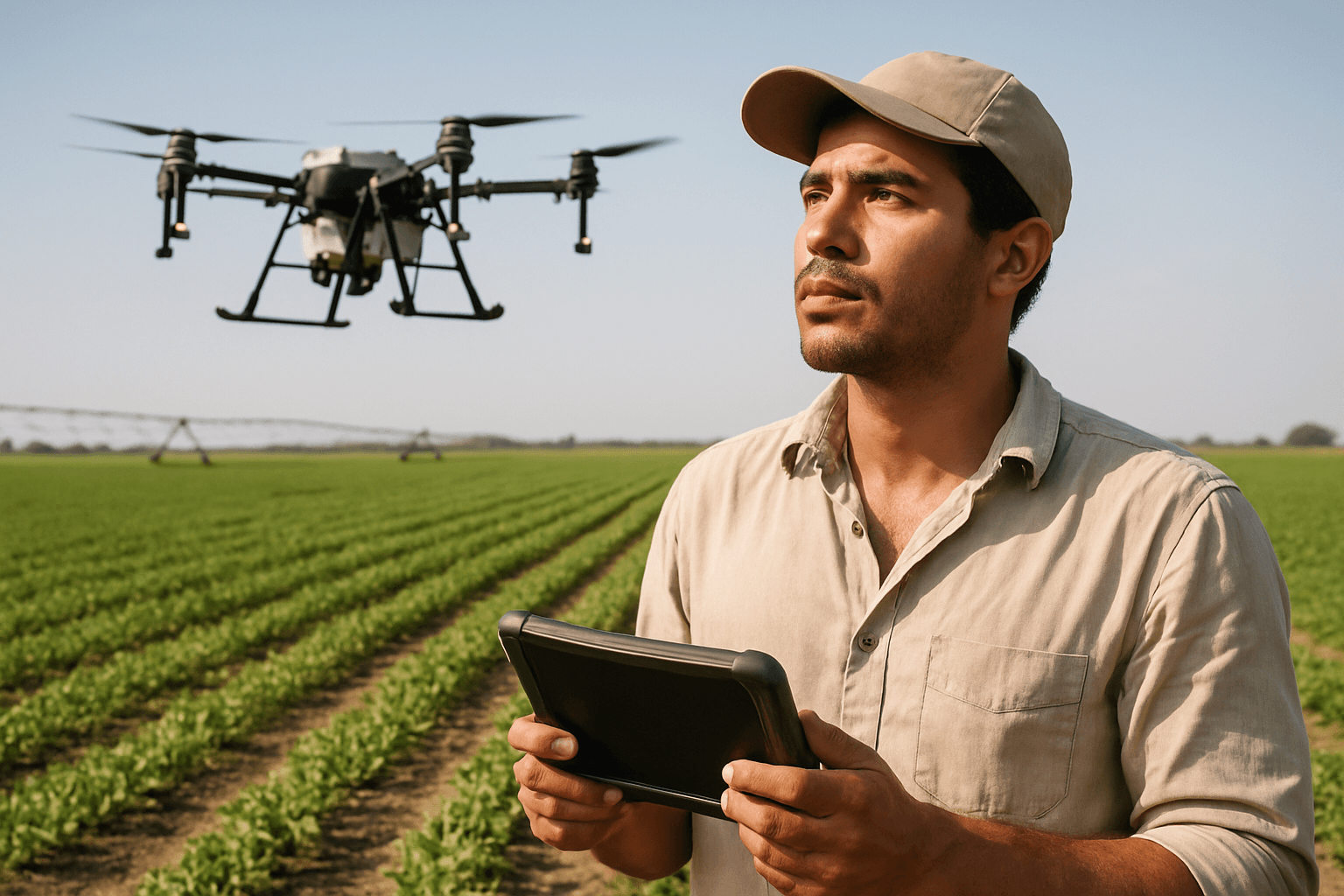
Drones, or Unmanned Aerial Vehicles (UAVs), are proving to be game-changing tools in modern farming, offering a data-driven approach to agriculture that moves beyond guesswork. Equipped with advanced sensors and imaging technologies, these flying platforms collect high-resolution data that reveals critical details invisible to the human eye.
High-Resolution Aerial Imaging
Drones provide farmers with detailed, high-resolution aerial imagery of their fields. Unlike satellite imagery, which offers lower resolution and less frequent passes, drones can be deployed on demand to capture intricate details at the centimeter scale. This granular perspective is crucial for identifying localized issues that might otherwise go unnoticed.
Advanced Sensor Technology for Water Stress Detection
The true power of drones in irrigation optimization lies in their specialized sensor payloads:
- Multispectral Cameras: These cameras capture data across multiple bands of the electromagnetic spectrum, including visible light, near-infrared (NIR), and red edge. Healthy plants reflect more NIR light and absorb more red light due to chlorophyll. By analyzing these reflections, multispectral cameras generate vegetation indices like the Normalized Difference Vegetation Index (NDVI), which precisely indicates plant health and vigor. Low NDVI values can signal water deficiencies, nutrient imbalances, or disease, often before visual symptoms appear. This allows for early intervention and targeted irrigation.
- Thermal Cameras: Thermal imaging drones detect temperature differences in crops and soil. Water-stressed plants tend to have higher canopy temperatures because they close their stomata to conserve water, reducing the cooling effect of transpiration. By capturing high-resolution canopy temperature data, thermal drones can detect early signs of water deficit, helping to determine Crop Water Stress Index (CWSI) and guiding irrigation decisions.
- LiDAR and RGB Cameras: While multispectral and thermal are key, standard high-resolution RGB cameras are essential for visual inspection and 3D mapping, while LiDAR (Light Detection and Ranging) systems can create detailed 3D maps, offering insights into terrain and elevation which impact water runoff and pooling.
Data Collection and Analysis
Drones efficiently collect vast amounts of data over large areas in a short time. This raw sensor data is then processed using specialized software to generate detailed maps and reports. Integrating this drone-collected data with other information, such as weather forecasts and soil data, allows farmers to create highly accurate irrigation schedules and make data-driven decisions.
Key Ways Drones Optimize Irrigation
The detailed insights provided by drones translate into several practical applications for optimizing irrigation management:
Identifying Water Stress and Variability
Drones excel at pinpointing areas within a field that are experiencing water stress or uneven water distribution. Multispectral data can identify moisture-deprived zones days or weeks before symptoms are visible to the naked eye, allowing for swift corrective action. Thermal imagery highlights “hot spots” caused by under-irrigation or irrigation system failures. This early detection is crucial for preventing crop damage and preserving yield potential.
Variable Rate Irrigation (VRI) Implementation
One of the most significant advancements enabled by drones is Variable Rate Irrigation (VRI). Rather than applying a uniform amount of water across an entire field, VRI systems, guided by drone data, can adjust water application rates in real-time. This means applying more water where the drone data indicates a deficit and less where plants are adequately hydrated, or even overwatered. This targeted approach optimizes water distribution, conserves water, and reduces water bills.
Leak Detection and Infrastructure Monitoring
Drones are invaluable for inspecting irrigation infrastructure. Equipped with high-resolution and thermal cameras, they can quickly identify system failures such as broken sprinkler heads, pipeline leaks, or clogs. Thermal imaging is particularly effective at revealing underground leaks by showing temperature differences in the soil caused by escaping water. Early detection of such issues minimizes water losses and the need for costly repairs.
Soil Moisture Mapping
By combining multispectral and thermal data, drones can create detailed soil moisture maps, highlighting variations across a field. This capability allows farmers to pinpoint specific areas that require more or less water, informing precise irrigation practices and helping avoid both flooding and water wastage.
Benefits Beyond Water Savings
The advantages of integrating drones into irrigation management extend beyond just conserving water:
- Increased Crop Yields: By ensuring crops receive the optimal amount of water precisely when and where needed, drones contribute to healthier plants and increased crop yields. Studies suggest that drone-guided precision agriculture techniques can increase crop yields significantly.
- Reduced Input Costs: Optimized water use directly translates to lower water bills. Furthermore, by enabling targeted application of other inputs like fertilizers and pesticides based on drone-derived insights, farmers can reduce overall input costs and minimize chemical waste.
- Environmental Sustainability: Precision irrigation significantly reduces water wastage, a critical advantage in regions facing water scarcity. Reduced chemical runoff due to targeted application also lowers the environmental impact of farming, promoting more sustainable practices.
- Time and Labor Efficiency: Drones can survey hundreds of acres in a fraction of the time it would take for manual ground inspections, reducing labor costs and operational hours.
Overcoming Challenges and Looking Ahead
Despite the immense potential, the widespread adoption of drones in agriculture faces some challenges. These include the initial investment costs for drones and specialized sensors, navigating complex regulatory frameworks, the need for technical expertise in operating drones and analyzing data, and limitations related to battery life and weather dependence.
However, continuous research and development are addressing these hurdles. Advances in drone technology, sensor capabilities, artificial intelligence for data analysis, and more streamlined regulations are paving the way for even greater integration of drones into sustainable agricultural practices. The future of irrigation is undoubtedly aerial, precise, and data-driven, with drones at the forefront of ensuring a water-efficient and productive agricultural landscape.


